All Activity
- Past hour
-
The I-95 corridor has been shafted so far. I have 0.19" today, only 0.01 yesterday.
-
100 degrees is what makes a summer memorable, if it has low dew points even better. I would love 101 degrees with a dew point of 60, we got a lot of that in 2010. There's also a nice correlation between hot summers and snowy winters. We had that in 1955, 1966, 1977, 1993, 1995, 2002 and 2010.
-
when you look at summers like 1983 and 2011 though, wasn't it went both before and after summer? 1982-83 was a very strong el nino so naturally it had a very wet winter and I remember spring was very wet too. It was only the summer months that had lower rainfall. It makes me think that it gives the soil time to dry out before peak heating season. 2010-11 was of course a very snowy winter and also very wet. I don't remember what spring was like that year except for all the severe weather outbreaks across the south and midwest.
-
Most people do NOT like 100 degree temps lol 80/65 temp split with low dews is perfect
-
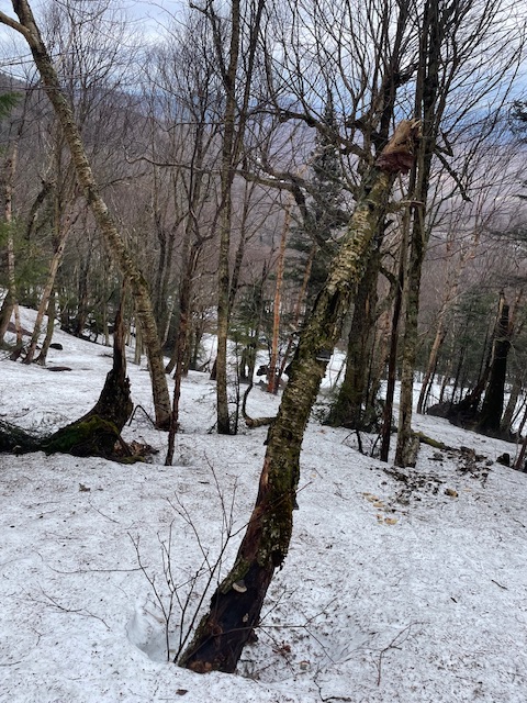
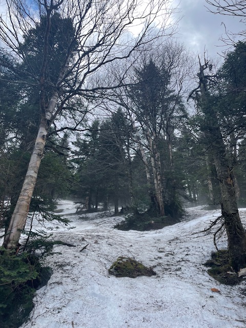
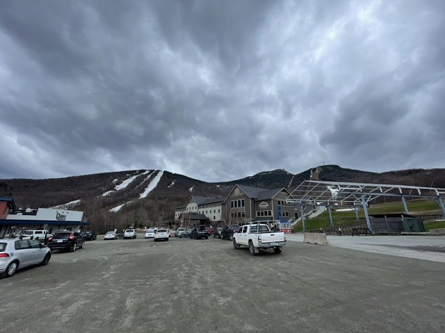
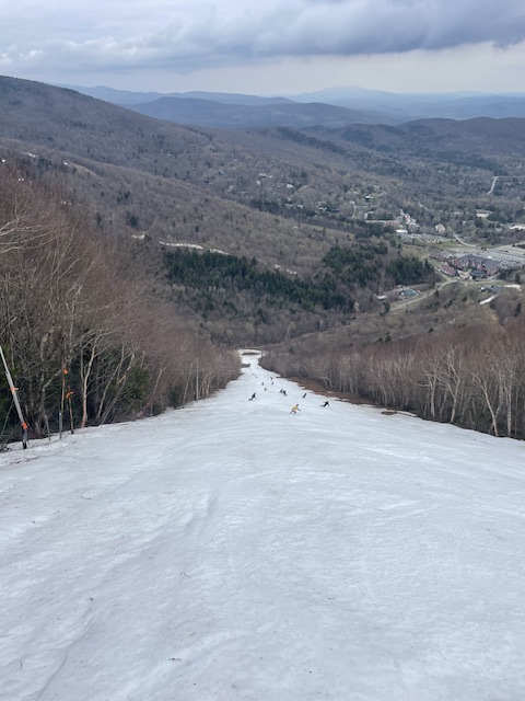
Great couple days at Jay Peak and Sugarbush. Rained the whole way north Friday, when I pulled in the lot it stopped. The rest of the day was a nice mix of sun and clouds. Skied in a light sweatshirt. Still plenty of coverage in the woods. Jay Peak Ski patrol even dropped a few ropes for me and the 10 other people who were out on the hill. Natural snow was really nice, manmade was ok. Sugarbush yesterday was super fun first thing in the morning. Sun was out briefly but by 10 the rain drops started falling. Did quite a few laps but the leg was getting a little sore due to my injury a few weeks back. Once the heavy fog rolled in and it started pouring it was time to go. All in all a nice quick but fun trip!
-
Everyone has their own personal preferences as to which type of weather they enjoy. So this part of the forum discussion is purely subjective. Drought feedback, summer rainfall, prevailing wind direction, and the main ridge axis are the key ingredients in determining how many 95°+ or 100°+ days we get around the area. The summers of 1983 and 2011 were very dry when we had all the record major heat around the area. Both summers only became wet once the heat was already finished. You are correct that flooding has produced a tremendous amount of damage in recent years across the entire country. Drought damage has mostly been located out West where the major wildfires have occurred. Currently, a large portion of the area has experienced drought conditions since last summer. It has been most pronounced from Eastern PA into portions of NJ. But D1 and D2 drought conditions also over to Orange and Rockland in NY. Models like the Euro would have drought improvement for the areas from NE PA across into SNE. But locations further south toward Philly and SNJ wouldn’t see much improvement. The Euro seasonal is out tomorrow for the summer. So we should get some hints as to where the drought is forecast to expand or contract and how much major heat will be possible. The most recent dry summer during peak heating was 2022. But onshore flow combined with drought feedback in NJ focused the major heat there with the 5+ days going over 100°. But the onshore flow kept points east of the Hudson cooler.
-
Humidity in the house forced me to turn on the ac.
-
Had the same thing going on here today. I'll take it though could have been a lot worse.
-
Was up in DC at the house this weekend, not much there except for some overnight light rain. Just got back in Calvert and it looks like there was a solid inch or so while I was gone. I need to get a new rain gauge, I left my old one out over the winter and the water in it froze and shattered it.
-
GFS says no.
-
it makes sense with a low track to the west, areas east of the low track usually see the least rainfall and it's almost always showery. 1.75 from such a storm track is actually pretty good.
-
And a few minutes after posting, dark clouds rolled in. Quick downpour.
-
Had a brief spurt of rain earlier and that's it. Been windy all day.
-

2025-2026 ENSO
PhiEaglesfan712 replied to 40/70 Benchmark's topic in Weather Forecasting and Discussion
FMA 2025 ENSO (NOAA): -0.2 FMA 2025 RONI: -0.68 April 2025 PDO: -1.18 -
So much for a steady soaker. It's pretty much been downpouring here for about a half hour plus. Up to 1.69" for the day now...
-
Some cold rain incoming
- Today
-
.46” since yesterday at noon. I’ll take it
-
I’d usually complain about this pattern, but we need the rain incredibly bad. This should at least help the southern portion of lower Michigan and much of Indiana and Ohio with drought conditions.
-
Not terrible here. 68, bright cloudiness, dry. Just did a quick trail ride. Little muddy but not bad.
-
Rain went through, added .04" sun trying to pop out again
-
Could’ve swore that was one of my kids on our lake at first glance haha (also 3 blocks from my house). We don’t get too many nice glass days, it’s always windy and cold, or windy and hot with tons of wake from all the boats. Awesome picture.
-
58.1° RA High may end up being 59.6°
-
will check back in later Monday ( tomorrow..). lol may not be so polar happy. j/k but seriously, some short term acclimation bias probably makes that seem particularly nasty. that high zipping N of Maine will send a (probable) non-described defused BD, or just acceleration SW of cold air through the area and it's fresh from Labrador's anus. Maybe crashing through the upper 40s NE-E zones by evening, with snapping flags and light soothing blue balls rain drops. Probably we just go modestly BN but light rains around through Tuesday before a bit of a bounce back on Wednesday.
-

E PA/NJ/DE Spring 2025 Obs/Discussion
LVLion77 replied to PhiEaglesfan712's topic in Philadelphia Region
Yep, today thus far has been a total flop - 0.03” since midnight with drizzle currently and a nowcast radar that shows much of the same the rest of the day. Again the best action is to the west… several hundred miles west. Perhaps tomorrow will be our day? . -
Strangely sunny here now.


