

Harry Perry
-
Posts
1,157 -
Joined
-
Last visited
About Harry Perry

- Birthday 01/13/1989
Recent Profile Visitors
5,809 profile views


-
You’re only 20 minutes away. We’ll have to link up. I’m over in the zoo all the time.
-
We need the rain.
-
Looking pretty shitty for the next three weeks. Mid-May through the end of the month looks better but it’s a pattern change overnight with little support lol so…

-
Yeah not liking the look of May locally. Looks more like late March for much of the month.
-
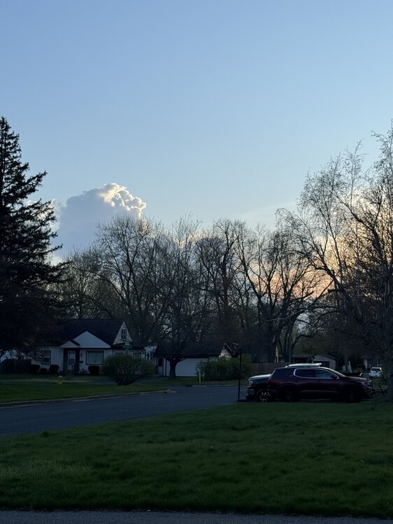
Cap is beginning to break here. Imagine this side of the lake will light up a bit shortly after sunset.
-
Yes from outflow boundaries as well as a strong low level jet pushing in from the southwest.
-
Swing and a miss here on storms for this evening. Got the gust front and plummeting temps though. Hoping tomorrow evening works out for at least a storm.
-
Was driving through Grand Rapids yesterday and noticed the Grand River was awfully high. Same with local rivers and streams around my neck of the woods in Battle Creek. Going to be a humid summer.
-
Agreed. Looks great on the hodo’s too. Strong cap until about 21-22z then development could be explosive. Warm day too. Dews in 60’s. Going to feel like summer.
-
Impressive! We haven’t had piles since some time in February down here.
-
Was hoping for a storm but another miss north and south lol. At least this time around we had one full nice day before the bust.
-
Yeah, 00z HRRR says “what storms tomorrow?”. Literally nothing but a few showers and then storms south of the MI/IN/OH line in the evening.
-
Tomorrow night/Tuesday could be thread-worthy if the stars align.
-
Looks good I-80/I-57 south and east. Just more horseshit up this way followed by a few more days of winter so haven’t given it much of a look.
-
Ahh, persistent eastern trough with a western ridge. Don’t worry, it’ll overstay its welcome.


