All Activity
- Past hour
-
44F and about an inch of rain. What a day.
-
The 18z NAM 12 says the zonal flow cuts off moisture from the south.
-

2026 Spring/Summer Mountain Thread
Maggie Valley Steve replied to Buckethead's topic in Southeastern States
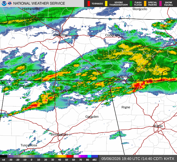
Light to moderate rain has filled back. Radar upstream looks promising for continued rain throughout the evening. The longer range guidance continues to advertise a general trough continuing across WNC into at least mid May. That suggests rain chance will continue with fronts arriving every several days! -
You have elevation on your side though.
-
Picked up 0.14” from a pretty decent band of showers I wasn’t really expecting this afternoon. Good start
-
After .05” here we are now doing the 7/10 split
-
I hope it is all gone by tomorrow. Snow in May is great moisture but it needs to go away LOL
-
Picked up .26” this morning. On purpose not looking at radar. Don’t want to be disappointed would rather be surprised.
- Today
-
Some pretty good cells popping. Sent from my SM-G998U using Tapatalk
-
You have to laugh at this type of long-term "forecast".
-
.05 here another bust
-
I beat Ya for April at 1.68" Today was a measly .01"................... Strong zonal flow is funneling moisture across N.C. and OTS.
-
I thought so too but they said in the article that VT was one of 12 states without a mesonet?
-

E PA/NJ/DE Spring 2026 Obs/Discussion
LVblizzard replied to PhiEaglesfan712's topic in Philadelphia Region
Spring is the worst season for northeast weenies. Snow chances are done and you don’t really get frequent severe chances until mid to late June. Fall sucks too but at least there can be hurricanes to track. -
0.05" so far today. Gotta hope for a storm or two overnight.
-
Picked up 0.20" today. Some sunshine peeking through now.
-

E PA/NJ/DE Spring 2026 Obs/Discussion
The Iceman replied to PhiEaglesfan712's topic in Philadelphia Region
This weather has been so boring lately. We need a severe threat. I’d take a solid rain storm though -
My apologies for the late reply! That Jan 2016 event had an insane cutoff up here. I finished w/ 2" so that revised map is pretty spot on. Areas 5 miles or so to my south in Warwick received 6-10". BTW amazing job w/ these maps! They are much appreciated
-
Got a nice downpour in CLT just a bit ago and now the sun is back out. Maybe that'll add some instability and get some heavier storms this evening and keep the rain flowing.
-
Its a B up this way Long lasting snowpack and consistent cold. Average snowfall & completely missed out on the Feb event
-
Even though it's a Saturday I'll gladly take it since we need the rain.
-
Currently 45° off a midnight high of 55°. .80 of rain too. It's one of those special New England spring days.
-
This dry period to me is very interesting with its sudden onset and persistence, going on 21 months now... Station showing a 25" deficit during that period.
-
You’re only 20 minutes away. We’ll have to link up. I’m over in the zoo all the time.
-

Mountain West Discussion
mayjawintastawm replied to mayjawintastawm's topic in Central/Western States
5.3" here total, was in a bit of a hole from mid evening through about 6 AM, but not complaining- no damage to trees and minimal to shrubs. Not nearly as much as 2022 where the chain saws were busy in the neighborhood for several days. I'll take it.


