
All Activity
- Past hour
-
Yeah I just saw that on PulsePoint! Power outage counts from BGE are surprisingly tame given that wind. Looks like some wires down on Patuxent Rd down near Woodwardville as well.
-
-

2026 Mid-Atlantic Severe Storm General Discussion
NorthArlington101 replied to Kmlwx's topic in Mid Atlantic
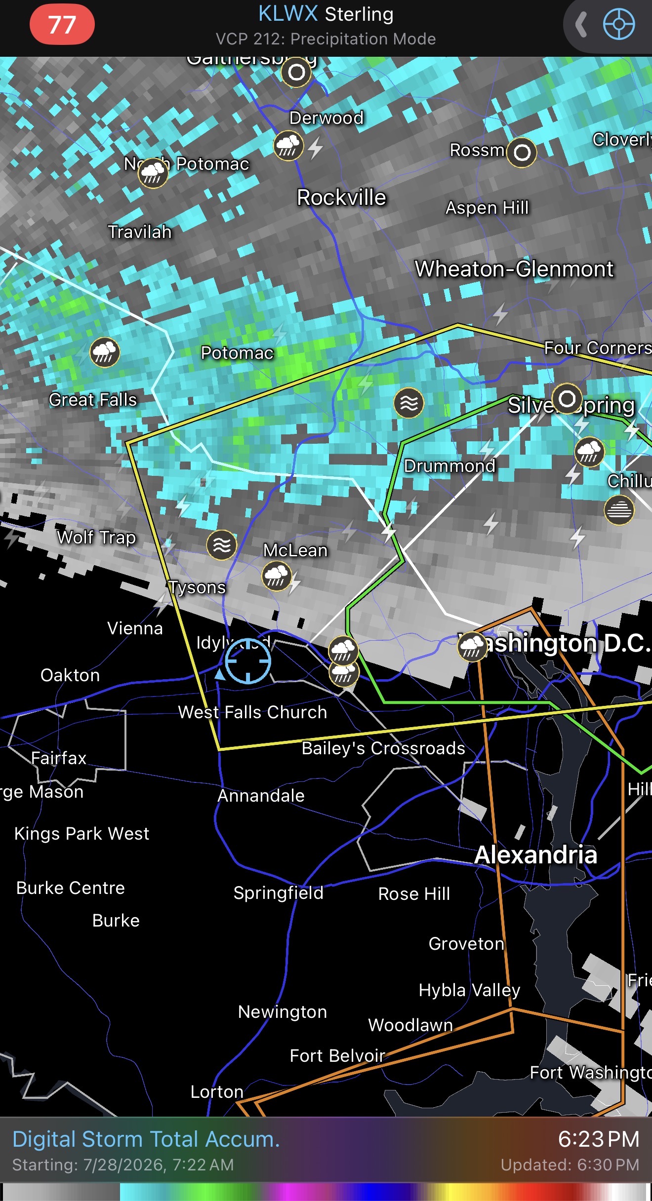
Rare time I get sorta pummeled and you don’t. I’m getting the 60dbz stuff over DC. edit: little bit of hail- 1,637 replies
-
- 1
-

-
- severe
- thunderstorms
- (and 7 more)
-
None that i see but there is a report of a tree into a home in gambrills off burns crossing rd.
-
For @CAPE and our Eastern Shore/DE crew Mesoscale Discussion 1790 NWS Storm Prediction Center Norman OK 0527 PM CDT Tue Jul 28 2026 Areas affected...portions of eastern Maryland into Delaware Concerning...Tornado Watch 529... Valid 282227Z - 282330Z The severe weather threat for Tornado Watch 529 continues. SUMMARY...A locally higher tornado threat may materialize in the next 1-2 hours. DISCUSSION...Multiple supercells have matured ahead of an approaching MCS. These supercells are intensifying within a very moist low-level environment, where 2000+ J/kg MLCAPE is present, and where the DOX VAD shows a modestly sized/curved low-level hodograph and over 200 m2/s2 0-3 km SRH. In addition to showing a modest increase in low-level rotation within the supercells, the absorption of these supercells into the MCS may promote conditionally favorable storm interactions which may briefly heighten the tornado threat. The best chance for a tornado will likely be within the next 2 hours. ..Squitieri.. 07/28/2026 ...Please see www.spc.noaa.gov for graphic product... ATTN...WFO...PHI...AKQ...LWX... LAT...LON 38387643 38987602 39267570 39317549 39197530 38907522 38607538 38437559 38247591 38387643 MOST PROBABLE PEAK TORNADO INTENSITY...100-125 MPH MOST PROBABLE PEAK WIND GUST...55-70 MPH MOST PROBABLE PEAK HAIL SIZE...UP TO 1.25 IN
- 1,637 replies
-
- 1
-
-
- severe
- thunderstorms
- (and 7 more)
-
Pretty garden variety for MBY, but I’ll take a bit over 0.5” of rain
-

2026 Mid-Atlantic Severe Storm General Discussion
MN Transplant replied to Kmlwx's topic in Mid Atlantic
Trace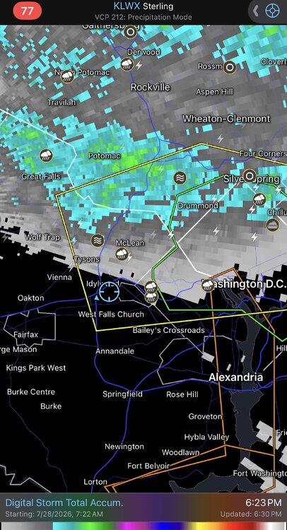
- 1,637 replies
-
- 2
-
-

-
- severe
- thunderstorms
- (and 7 more)
-

2026 Mid-Atlantic Severe Storm General Discussion
Random Chaos replied to Kmlwx's topic in Mid Atlantic
Definitely multiple sea surface rotational winds on the Chesapeake Bay near the mouth of the Magothy River about 5-10 minutes ago. -
 I did not . Nothing . 84 bisects Tolland . SE part of town often has quite different wx
 -

2026-2027 Super El Nino
Stormchaserchuck1 replied to Stormchaserchuck1's topic in Weather Forecasting and Discussion
There's a lot of studies connecting things. Luckily we have data to see if it's backed up or not. I do have to admit, you were right about the +PMM leading to an east-based Nino though. The limited examples said Nino 3.4 based and that has not happened over the last few months. One of those things where there weren't enough samples to make that call and you had to use logic or common sense, the +PMM/Nino 1+2 warm worked pretty well, good job -
Funnel passed by near the house. Wild evening.
-
Tornado warning for Asheville!
-
Tornado warning Buncombe. Looks to go just north of downtown Asheville
-
The tip was dry . No drops came out. At some point some will come
-
 Good luck!
 -
 Let's prime everything up and the get a Hurricane in mid August
 -

E PA/NJ/DE Summer 2026 Obs/Discussion
RedSky replied to PhiEaglesfan712's topic in Philadelphia Region
Back home only .50" fell -
I drove through the storm from Kingsport to Blountville and that was probably the worst storm I have drove through. I could barely see in front of vehicle and lightning was peppering down left and right. Geez that couplet in Greeneville was the real deal.
-
“Hyped”
-
Heavy rain here. Pouring at the moment. A few rumbles and flashes. No wind. Eyeballing the gauge looks like 1.25” on the day.
-

2026 Mid-Atlantic Severe Storm General Discussion
dailylurker replied to Kmlwx's topic in Mid Atlantic
I just had some big gust blowing through. I could hear trees breaking and branches falling. Not much thunder and the rain has been kinda underwhelming. Classic stormy summer evening.- 1,637 replies
-
- 1
-
-
- severe
- thunderstorms
- (and 7 more)
-
2026 Mid-Atlantic Severe Storm General Discussion
NorthArlington101 replied to Kmlwx's topic in Mid Atlantic
Scud was rotating overhead. Cool unthreatening clouds.- 1,637 replies
-
- 2
-
-
- severe
- thunderstorms
- (and 7 more)
-
Harmless is the best thunder!
-
18z UKIE just went bonkers
.thumb.png.be28312d03c0504c71b49ee00bcd902d.png)












.png.9bad573e9e4f352b09be40f43edcf9ef.png)