All Activity
- Past hour
-
 13” super easy cleanup. Let’s see if we can’t grab another couple today.
 -

January 24-26: Miracle or Mirage OBS Thread!
nw baltimore wx replied to Jebman's topic in Mid Atlantic
The radar might be trying to do something in northern MD. -
11/30/2025: T (A mix of rain/sleet from the 4am hour through about 9am. Intensity got up to light/moderate intensity at times. Temps: low/mid 30s 12/02/2025: T (Probably had a brief period of sleet w/ rain sometime between 4:30am and 5am when precip started before quickly changing to a cold rain that became moderate at times during the morning.) 12/05-06/2025: 1.4" (Flurries/very light snow starting in the 4am hour intensifying to light snow between 6am and 10am (light/moderate at times). Flurries to very light snow showers continuing through the rest of the morning ending during the 12pm hour. ETA: Another few bursts of sometimes moderate snow with big aggregates between 10:30pm and around midnight or so dropping an additional 0.2".) 12/11/2025: T (A few flakes in the air during the morning on a northwesterly surface wind.) 12/14/2025: 0.9" (Mixed rain/snow starting after midnight on the 14th, changing over to snow sometime during the 3am hour and lasting through about 6:30am. Snow was moderate at times between 4am and 5:45am. It was graupelly in consistency.) 12/26/2025: T (A mix of light rain/sleet between 10:30am and 12pm. It was briefly freezing rain/sleet as temps fell to 31F during the precip.) 1/01/2026: 0.1" (A squall of heavy snow blew through between 5:18am and 5:35am with visibilities dropping to <= 1/4 mile briefly between 5:21am and 5:25am. Note: could have been 0.2" but the wind 25-30mph gusts made it difficult to tell.) 1/11/2026: T (A few wet flakes with a dying snow/graupel squall around 1:30-1:45pm.) 1/17/2026: 0.4" (Flakes started falling around 8:45am. At 8:48am intensity rapidly jumped from flurries to moderate+ within 15 seconds. Between 9-9:05am the snow was fairly heavy at times. Snow tapered off to flurries by 9:15am. There was a snow/graupel mix that briefly got up to light/moderate intensity around 10am. Snow/graupel tapered off by 10:30am as the last flakes concluded.) 1/18/2026: T (Off and on light rain, probably mixed in with mangled flakes predawn (1:30am-6:30am). An afternoon round of flurries between 4 and 5pm.) 1/24-25/2026: 8.0" (Flurries starting in the 11pm hour on the 24th intensifying into a light snowfall after midnight. Snow becoming moderate at times through the predawn hours. Some moderate+ rates in the 6am hour, then light/moderate through 7:30am when sleet mixes in. Back and forth between sleet and snow/sleet mix through 8:10am when sleet takes over for good. Sleet was moderate at times with snow grains mixed in throughout the morning. Waves of heavy sleet moved through during the afternoon (mainly between 1:30pm and 4pm). Sleet continued in light/moderate intensity afterwards until 5:30pm when it became light. Light sleet continued until precip wrapped up around 7pm. Snow grains were mixed in w/ the sleet (especially before 3pm.)) Snow totals as of January 26th, 2026: 10.8"
-

January 2026 Short/Medium Range Thread
fountainguy97 replied to John1122's topic in Tennessee Valley
Honestly we need some ticks for a deeper dive. Euro already is ticking north. Sure the west trend is good but a north trend is not. -
20F now. Sun should appear soon. So sorry for those folks down south. Ice is the worst and so glad it was not bad here. Watching my neighbor trying to get out. Hardly a soul out on the highway. Grateful I am allowed to work from home and that the good Lord blessed me with a son who will come finish cleaning up (I hope) today.
-
Ill take the over on fridays temps, knyc will hit freezing then.
-
Thanks go back to the TWC days time flies then they threw us out lol been doing the tropical thing the last 10 yrs living down here glad you guys have ole man winter kicking ass i was wondering if weatherfella is still around ?
-
 Took my final measurement of the evening at midnight last night, and it looks like we've only had 1.0" since then for a storm total of 16.3 inches. Total depth in the yard is now 19" which is the deepest since I moved here in March 2022.
 -

The “I bring the mojo” Jan 30-Feb 1 potential winter storm
SUNYGRAD replied to lilj4425's topic in Southeastern States
Looks like probably a minor or even moderate event is on the table for most of NC. -
My street got plowed at some point. Made a mess of things. What wasn’t shoveled last night looks like solid concrete now. Gonna be a bitch to chip up
-
16”, 35” for the season.
-
Euro has been locked in now for what, 3 runs in a row? Ensembles getting in board and GFS and other models coming around to. This feels different. And today is Monday already. We are not that far out.
-
It will be a close call. A few days in early February could approach or reach freezing. Model skill that far out is low so the range of error is fairly high.
-

The “I bring the mojo” Jan 30-Feb 1 potential winter storm
BornAgain13 replied to lilj4425's topic in Southeastern States
The Euro AI was a beast with this last storm as well and its agreeing with the Euro for now -
What about the two preseason games against the Commanders?
-

The “I bring the mojo” Jan 30-Feb 1 potential winter storm
BooneWX replied to lilj4425's topic in Southeastern States
I wish I could! I love these pretty snow maps from the euro but I can’t get sucked in to a model that shifted 400 miles at 18z Wednesday night and changed the 500mb look every cycle. Weathernext was showing our end result on Monday of last week. Everyone thought it was out to lunch - it was actually in the back making a beef Wellington. -

January 2026 Medium/Long Range Discussion
SomeguyfromTakomaPark replied to snowfan's topic in Mid Atlantic
Yes and no, this one feels a little different. I’ll of course wait til Thursday or Friday to really feel confident if it keeps this look but I am liking the euro ai ensemble look a lot. -
looked out my window in Arlington VA and saw a millimeter or two of ice on top of tree twigs.
-
We are basically at the mercy of how far that little vort over the Hudson Bay slingshots west and then winds up as it comes south. I used the 0z euro but as of making this the 6Z euro came out on TT but the point remains the same. You can see a piece of energy following this energy around the backside that I think is tugging this west. It’s there on the GFS also but less defined and dives in later, thus more east I tried to upload the GIF but I guess the file is too big and you can see what I’m looking at in action .
-
Ugh why must we be in the bullseye so far out? Such a tease!
-
Good luck to anyone shoveling today. Solid ice.
-

Central PA Winter 25/26 Discussion and Obs
anotherman replied to MAG5035's topic in Upstate New York/Pennsylvania
Wondering if any of you have a good storm total for Mount Joy. I’m not there to measure. -
Honesdale just to my west received 17”. I measured anywhere between 15-16 at my location.
-
@The 4 Seasons mark me up with another 13.1”, 38.3” for the season.
-
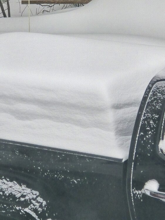
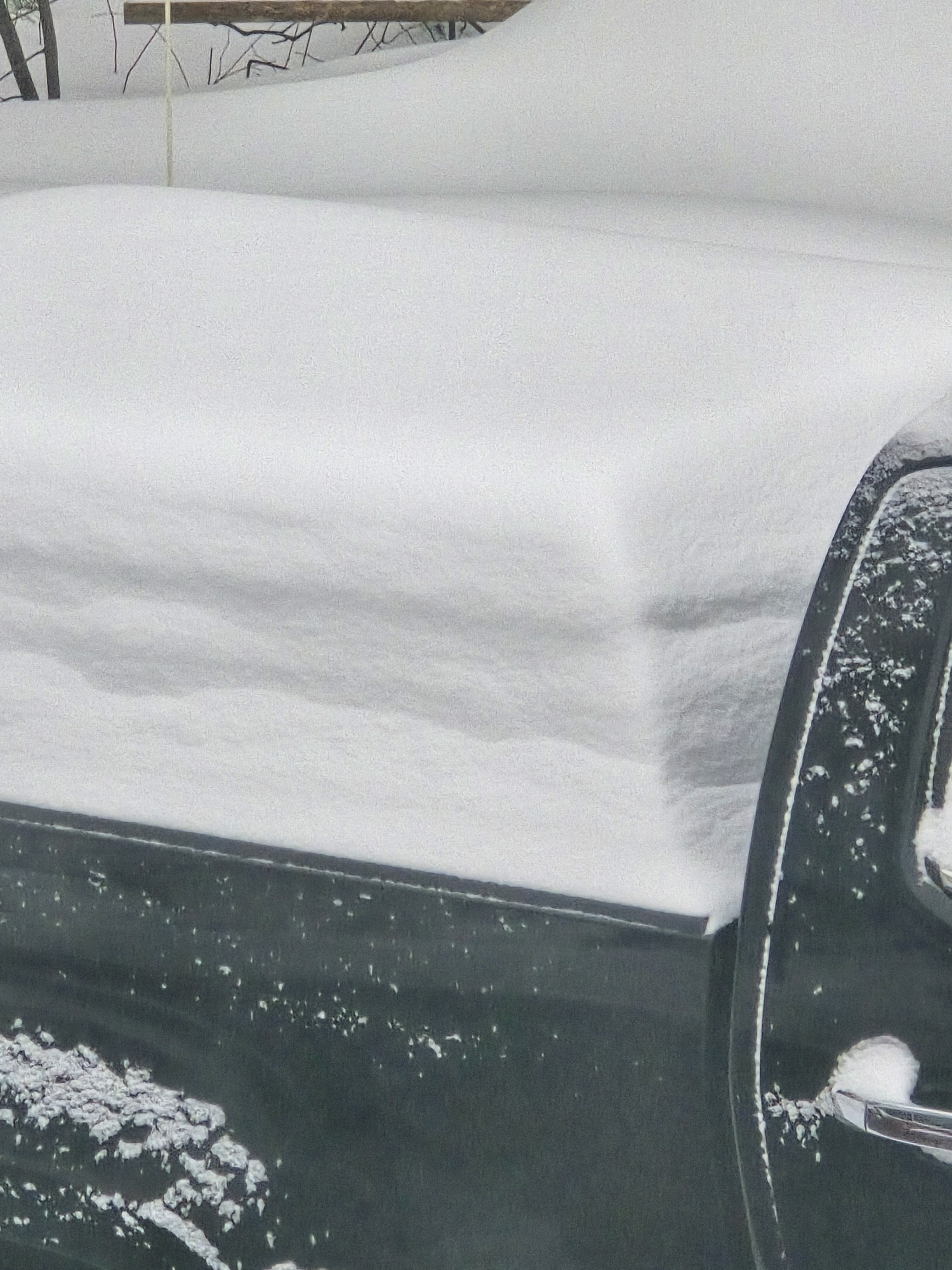
 Can see density changes as snow fell on my truck