LongBeachSurfFreak
-
Posts
9,489 -
Joined
-
Last visited
Content Type
Profiles
Blogs
Forums
American Weather
Media Demo
Store
Gallery
Everything posted by LongBeachSurfFreak
-
 Much better snow climate up there. They are generally a few degrees colder then us which makes all the difference in marginal storms. The best example being April 97
 -
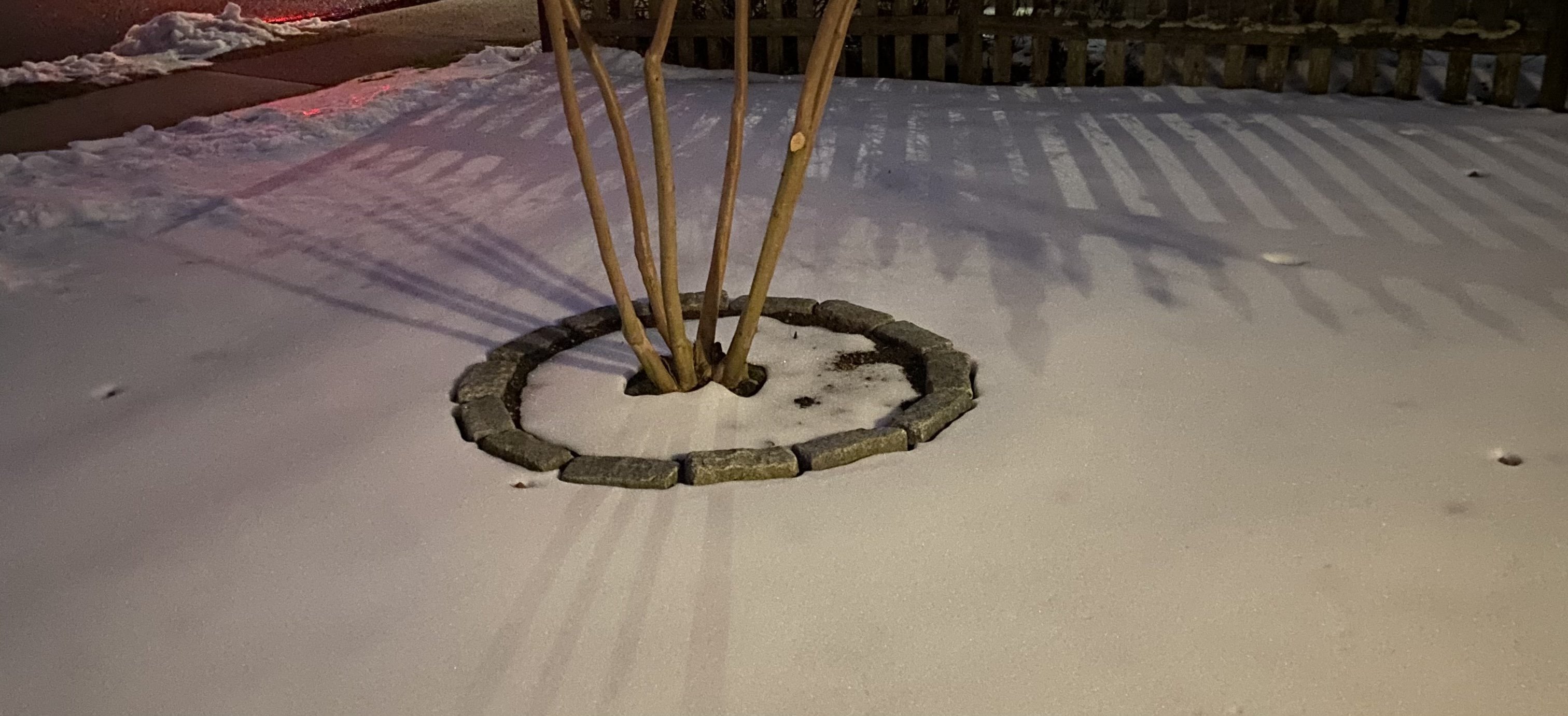
About .3” on the uws. A nice surprise and cool to watch the snow cool the column.
-
January 16 2021 - Inland runner Rain/Snow/Wind
LongBeachSurfFreak replied to Baroclinic Zone's topic in New England
Had about 20” above 2k at Stratton. About 16” of wet snow at my house at 1600’. Power is out with lots of tree damage -
Exactly. We are also missing true arctic air. It’s just one big blah of continental polar air.
-
Remember Alberta clippers??? They were fun back in the 90s. Occasionally one would drop 3 or 4” inches of powder followed by real cold...
-
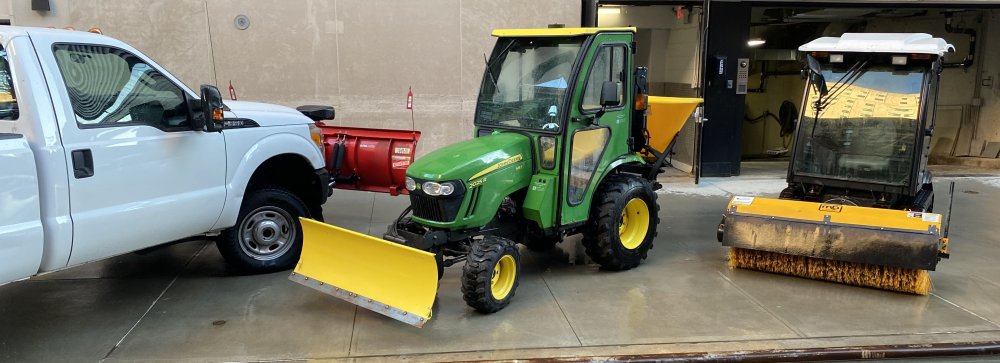
Here’s my lineup. The John Deer is far and above the most practical and best machine
-
Not if you live in Asia.
-
Would you rather it be -5 for the month with no snow? Personally I’ll take the nice afternoons. Any one indicator doesn’t make for a good pattern.
-
I always wondered what our winter temps would be like if we just sat in our own airmass. No injections of cold from the north or warmth from the south. I think this is just slightly cooler then what you would get as we do have a little northerly component to the flow.
-
Obs and nowcast Sun 9A Jan 3 - 6A Mon Jan 4 2021
LongBeachSurfFreak replied to wdrag's topic in New York City Metro
Rain snow mix currently on the far uws -
Obs and nowcast Sun 9A Jan 3 - 6A Mon Jan 4 2021
LongBeachSurfFreak replied to wdrag's topic in New York City Metro
Had a few sleet pellets but mostly rain on the south shore. Heading to the uws later today for snow removal standby (not going to turn down the OT despite the fact that it will likely be a non event) -
Obs and nowcast Sun 9A Jan 3 - 6A Mon Jan 4 2021
LongBeachSurfFreak replied to wdrag's topic in New York City Metro
Light rain on the south shore -
Ummm 2/5-6/10???????? We watched you get smoked! I could see the heavy snow bands over the ocean but only managed a couple inches of wind blown pixie dust
-
Getting that very distinctive roar through the trees you get with gusts over 50 now on the south shore. Not sure if I’m going to stay up or set an alarm for the beach drive
- 242 replies
-
- 2
-

-
- damaging wind
- flooding rains
- (and 1 more)
-
It’s not often you can stand in 40-50 sustained gusts in the 60s (70?) right on the beach front. I have done it a few times, the last being March 2010. I was at work on the uws during Isaias and sandy was too dangerous to get near a beach.
- 242 replies
-
- 4
-
-
- damaging wind
- flooding rains
- (and 1 more)
-
Hanging on to the last patches of snow in north Lynbrook. Very apparent now that significantly more frozen precip occurred here then at my Dads in south wantagh. Winds are still pedestrian. Going to do a drive to the beach during peak winds
- 242 replies
-
- 2
-
-
- damaging wind
- flooding rains
- (and 1 more)
-
December 2020 General Discussions & Observations Thread
LongBeachSurfFreak replied to bluewave's topic in New York City Metro
Amazing, still have good coverage in wantagh and only a few blocks from the bay.
-
December 2020 General Discussions & Observations Thread
LongBeachSurfFreak replied to bluewave's topic in New York City Metro
A surprising amount of snow remains on the ground here in south wantagh with 100% coverage. 32 currently has locked the pack back up. This really shows the staying power of ice. -
December 16-17, 2020 Storm Observations and Nowcast
LongBeachSurfFreak replied to wdrag's topic in New York City Metro
As expected there was a huge difference when I got home from work. About 12” on the far uws, 4” close to the bay in wantagh and slightly more 7” in north Lynbrook. There is some ice in the trees in both south shore spots.- 1,011 replies
-
- 1
-
-
- heavy snow
- sleet
- (and 4 more)
-
December 16-17, 2020 Storm Observations and Nowcast
LongBeachSurfFreak replied to wdrag's topic in New York City Metro
Had another burst of heavy snow on the uws -
December 16-17, 2020 Storm Observations and Nowcast
LongBeachSurfFreak replied to wdrag's topic in New York City Metro
Back to light snow uws after pounding sleet -
December 16-17, 2020 Storm Observations and Nowcast
LongBeachSurfFreak replied to wdrag's topic in New York City Metro
Just started ripping on the uws. Not a single pinger and I have been outside non stop. Some of the best snow in the area here so far -
December 16-17, 2020 Storm Observations and Nowcast
LongBeachSurfFreak replied to wdrag's topic in New York City Metro
8” on the far uws- 1,011 replies
-
- 5
-
-

-
- heavy snow
- sleet
- (and 4 more)
-
December 16-17, 2020 Storm Observations and Nowcast
LongBeachSurfFreak replied to wdrag's topic in New York City Metro
That band that just came through Manhattan was epic. Rates 3 or 4”/hr for about 20 min. Have good video to compare to past storms- 1,011 replies
-
- 1
-
-
- heavy snow
- sleet
- (and 4 more)