LongBeachSurfFreak
-
Posts
9,489 -
Joined
-
Last visited
Content Type
Profiles
Blogs
Forums
American Weather
Media Demo
Store
Gallery
Everything posted by LongBeachSurfFreak
-
Mountains disrupt the low level center of established storms. Less organized weaker storms can sometimes make it through the mountains or, be completely torn apart: I wasn’t referring to the mountains of Cuba or Hispaniola though. I was referring to the environment of the eastern Caribbean which tends to be hostile for a number of reasons
-
Agreed. Good luck with that track at this time of year. That’s a tuff area even during peak climo
-
It’s gotten really dry recently here on the uws. Soil moisture is non existent. Hence why we are seeing the park reasonably close to other stations
-
Way way way early. That’s a decently mixed 70 too. We are loosing our cool water hurricane buffer as water temps are now peaking near 80. Once we get constant 80 it’s a game changer for hurricane threats
-
Absolutely absurdly hot in the city right now. Growing up on the south shore was a blessing.
-
They aren’t breaking records; they are smashing them. It’s like a guy hitting 100 home runs in a season
-
South shore of Nassau and parts of the city as well. Should have a couple more shots for the next few hours but unlikely
-
Unbearably hot on the UWS after spending the weekend working at Jones Beach. The difference in temps in our region in early summer are pretty incredible
-
The Park is maintained by the Central Park Conservancy which has its own budgets and employees. (I have a coworker who worked as a horticulturist there and insists it’s incredibly corrupt). Meanwhile the sea breeze just started cranking at Jones Beach on one of the earliest full capacity crowds (air show not included) I have seen. Just mayhem here life guarding. At least the temp has dropped significantly.
-
That was further South and multi year. It also had the whole improper plowing farm issue. Not saying this doesn’t intensify into something to rival that, but it’s apples and oranges now and more overhype
-
Not exactly. The chances for big storms are high but overall snowfall isn’t that incredible being coastal and at a latitude not much further north then Portland. They are often on the east rainy side of systems coming up the coast. If you want a snowy location look for elevation or down wind of the Great Lakes.
-
Feast or famine, that’s our new normal.
-
Nice weather is open to debate. All get ridiculously hot. Florida has cat 5 potential and Texas ef5
-
About time. Last nights rains were definitely beneficial. Soil moisture has really been dropping as new plantings I have done we’re starting to wilt with irrigation not on yet for the season.
-
That April 1923 reading of 12 is extremely suspect. That has to be in the .0001% return rate and most likely the most extreme low ever recorded in NYC if true
-
 There was softball 4” size hail in new Hyde park Long Island with an isolated pop up sea breeze front storm about ten summers ago. Lots of legit damage.
 -
I tend to agree with this. I remember several MCS as a kid that were damaging across the whole area. There was one in particular in April late 90s that had some good hail.
-
At lease we got some blocking this winter. The worst is when it’s warm all winter and we flip to a cool dreary spring with a mega -NAO.
-
The timing is incredible and concerning. Without recon we will never know for sure what these WPAC beasts are really obtaining. Once you start maxing out T it’s hard to differentiate between 175kts and 200 and 900 and 870.
-
Already snowing nicely on the summit. Too bad they are closed for the season! (Just saw you’re other post) https://www.stratton.com/the-mountain/webcams
-
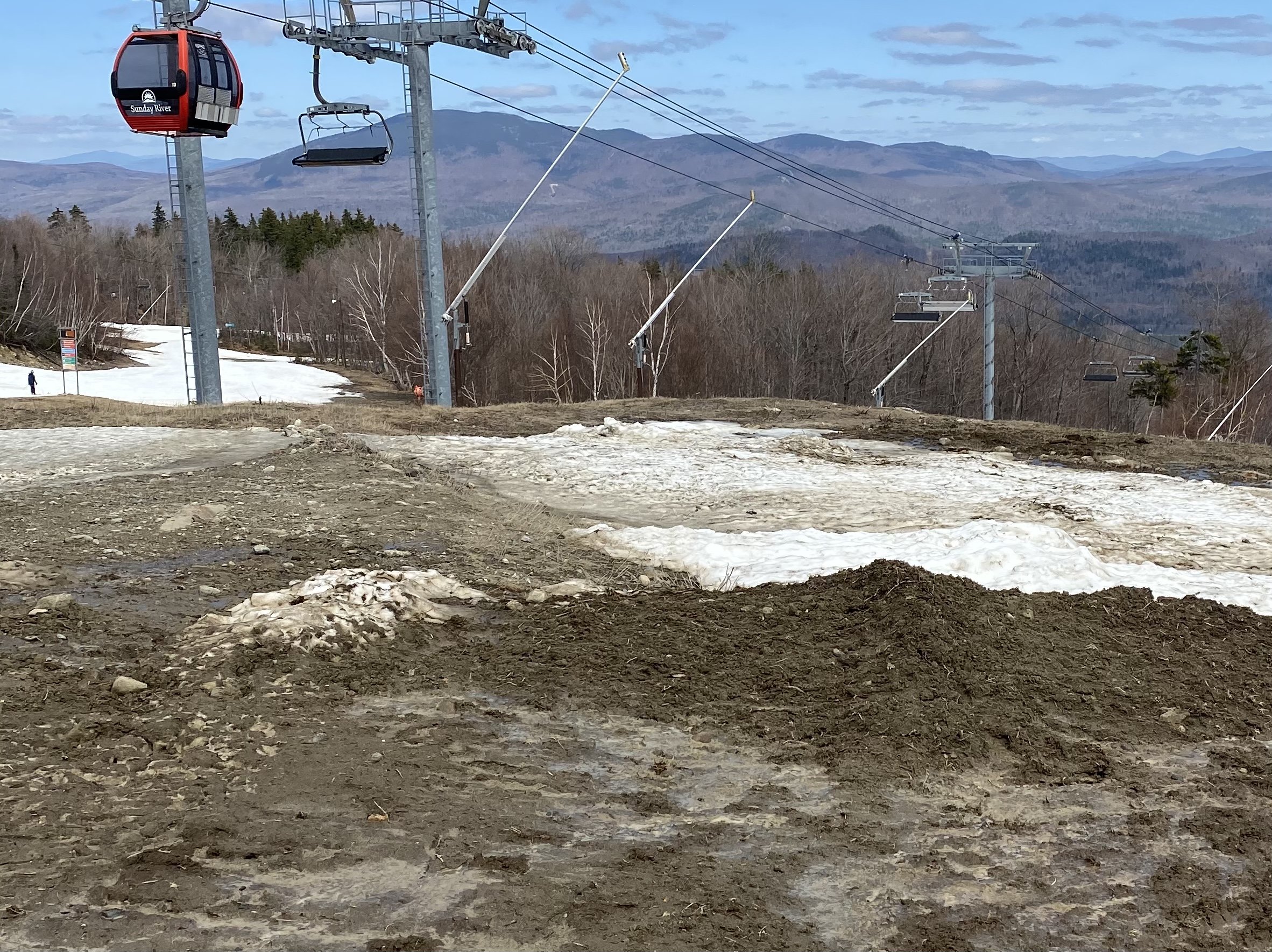
Rode Sunday river on Sunday and sugar loaf on Monday. First time at both mountains. Sunday River was a mess and really struggling, lots and lots of mud and walking. Not a speck of natural snow. Sugar loaf was a whole other world. Tons of natural snow above 3k and had a great time. What an epic mountain. Definitely going back mid winter next season!

-
1997. Huge hit for New England. Temps were just too warm for the city and the island with lots of white rain and a few inches of slush
-
He’s got some elevation so that helps allot this time of year. Mt. Pocono at over 2,000’ will do real well.
-
Decent day out there today given the circumstances. Early from mid mountain up was firm and fast. Below 2500 never locked up so spring conditions continued. By noon the whole mountain softened up to spring conditions which got a little moguled with a Saturday crowed. Planning on heading up to sugarloaf the weekend of the 11/12 as SVT may be finished relatively soon. Over all a decent winter for SVT.
-
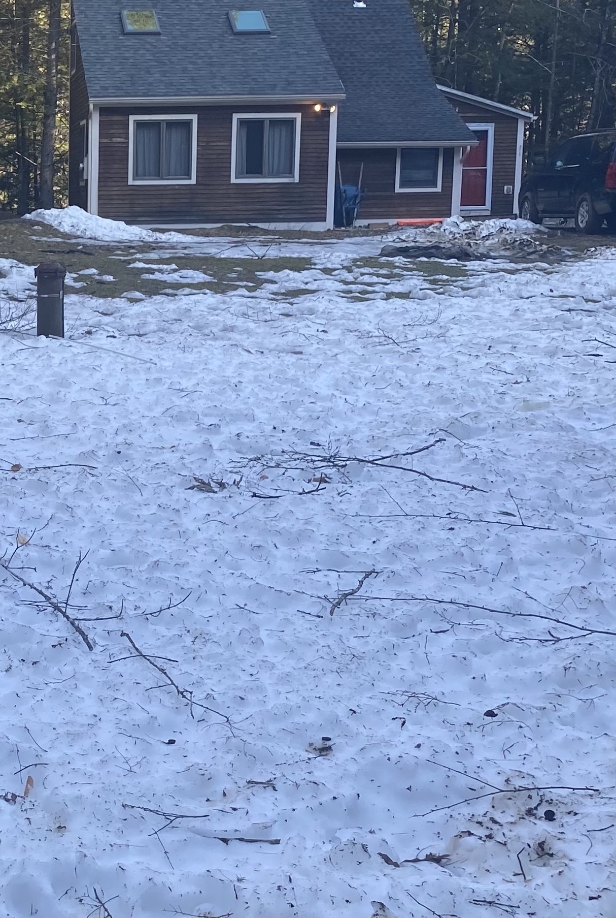
I was surprised to find a decent amount of snow left at my house in SVT. Being tucked in a gorge and north facing really helps with retention.