LongBeachSurfFreak
-
Posts
9,489 -
Joined
-
Last visited
Content Type
Profiles
Blogs
Forums
American Weather
Media Demo
Store
Gallery
Everything posted by LongBeachSurfFreak
-

SNE "Tropical" Season Discussion 2021
LongBeachSurfFreak replied to WxWatcher007's topic in New England
I was just thinking about him. This is the best cape threat in a long time. Regardless of the final track it’s going to be a fun week at north east beach’s -
I think that has allot to do with the fact that it’s not being forced up the coast after a Carolina hit later in the season via a trough. That scenario always seems to really degrade storms. Regardless of direct impact, days of large swells will cause beach erosion and lead to beach closures right during prime beach season.
-
SNE "Tropical" Season Discussion 2021
LongBeachSurfFreak replied to WxWatcher007's topic in New England
I’m not sure I gave enough importance to just how small the fetch area is with Henri. As of right now it’s hard pressed to create any swell of significance for the east coast. Assuming it both strengthens and enlarges at least some swell is on the way. -
SNE "Tropical" Season Discussion 2021
LongBeachSurfFreak replied to WxWatcher007's topic in New England
Ahhhhhh, I was just going to post about that in here. The current track forecast will lead to a period of captured fetch during the middle of the forecast. That and proximity will lead to bigger swells then one would think from a smallish tropical storm. Any increase in intensity will lead to a pretty sizable swell event. Similar to what we saw with 95’s Felix, the last true heart of the summer beach season prolific swell producer. Generally our hurricane produced dangerous swell events happen in September after the summer crowds and resultant tourists that cannot swim have gone for the summer. -
Regardless of the direct US landfall threat this will be a prolific swell producer for the east coast. As it’s prime beach season the rip current threat will be real. Offshore hurricanes have killed dozens of people at east coast beaches over the years.
-
Considering earthquakes occur miles below the surface I would think it’s just a coincidence. fracking can cause earthquakes but they are much closer to the surface.
-
I just read the thread and do not see an explanation for the difference between Jay and Sutton. Care to elaborate? My guess would be Jays closer proximity to lake enhancement?
-
Has to be. I looked like I jumped in a pool earlier just dragging around hoses
-
I’m outside on the uws currently and feels much cooler then it did earlier in the day. Could be the enhanced breeze. I am rooting so hard for those storms to make it here in tacked. The more it rains the less if have to water these gardens

-
It’s fairly wet currently here on the uws, so the park may struggle to the low 90s. After the very wet July foliage is very dense. As we have discussed at length unless something is done about the foliage around d the sensor the issue will only get worse moving forward.
-
Showers are hitting a brick wall before getting to the island. Currently sunny at Jones beach
-
2021 Atlantic Hurricane season
LongBeachSurfFreak replied to StormchaserChuck!'s topic in Tropical Headquarters
Pretty much every single screams hyperactive season. I could see canes stacked in the MDR like planes coming into a busy airport. Of course the local pattern will determine wether we have an impactful season. Regardless as an east coast surfer there will be plenty of waves on tap. -
Exactly. That’s the mid level shear. regardless of the severe the whole area should see some solid rains
-
Uh oh. I would hate to have to say congrats south Jersey again. Rooting for getting the wettest July on record for NYC. Let’s go!
-
There was a slight chill to the air when I left the island for work at 430. Great stretch of weather for those of us that work outside. A nice weather break before what I expect to be non stop tropical tracking. Even if we do not get a direct hit a hyper active season with multiple long track MDR formed majors is on the way.
-
.04” so far on the uws. Congrats south Jersey as always
-
Decent down pour and some nice CG lightning with this first line on the uws. Zero wind
-
Yeah, that’s a bizarre front timing. I was just looking at the radar and figured those were pre frontal storms. If that’s the front then this threat is cooked
-
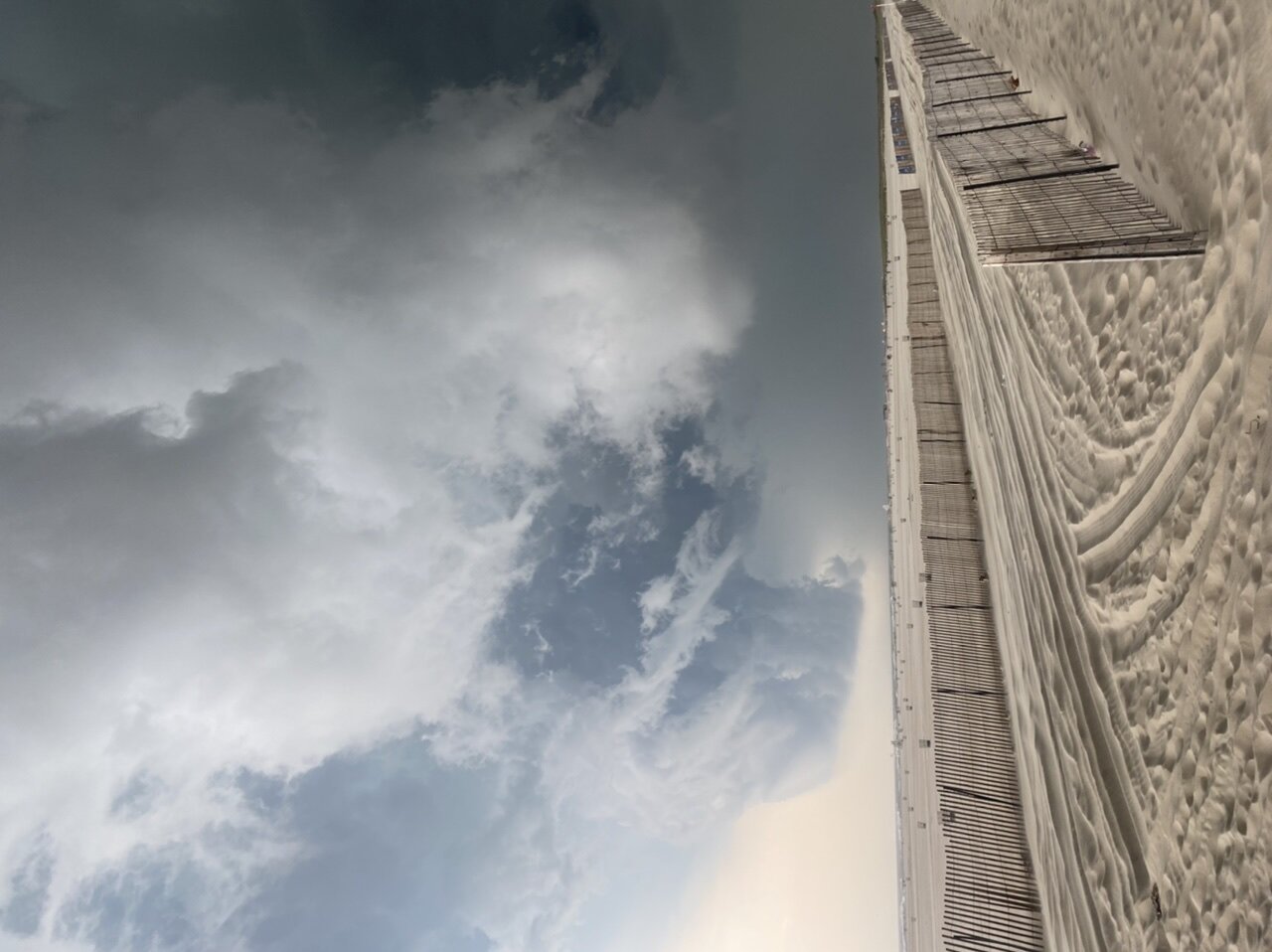
Absolutely incredible at Jones beach right now. Swell just filled in to meet the strong offshores, the spray off the waves is going 100 feet in the air. Winds are too strong to surf currently
-
Stayed at my dads in south wantagh last night “just in case”, just woke up to basement flooding and a couple large branches down in the backyard. The basement flooding makes sense. What doesn’t are the branches, winds are currently light
-
The park will have trouble cracking 90 for a while after several inches of rain.
-
My dad called me this morning to tell me he put away his outdoor furniture and to ask what I thought. In his defense he had major damage from Isaias. The general public isn’t spending time analyzing models like we are. The strongest winds should stay out in eastern Suffolk where even there, there will be minimal impacts. Flash flooding will be the take away from this one.
-
It’s only a matter of time before a long track MDR formed major gets caught in that sling shot. Had Isais been a major at its Carolina landfall we would have had wind gusts over 100mph. Hardwood trees fail around 90mph something we have just avoided. Complete Puerto Rico style destruction of the power grid and potentially hundreds of billions to bury all the new lines. Great weather week overall! Last night was awesome, unfortunately tonight’s threat is doa