LongBeachSurfFreak
-
Posts
9,523 -
Joined
-
Last visited
Content Type
Profiles
Blogs
Forums
American Weather
Media Demo
Store
Gallery
Everything posted by LongBeachSurfFreak
-
At lease we got some blocking this winter. The worst is when it’s warm all winter and we flip to a cool dreary spring with a mega -NAO.
-
 The timing is incredible and concerning. Without recon we will never know for sure what these WPAC beasts are really obtaining. Once you start maxing out T it’s hard to differentiate between 175kts and 200 and 900 and 870.
 -
Already snowing nicely on the summit. Too bad they are closed for the season! (Just saw you’re other post) https://www.stratton.com/the-mountain/webcams
-
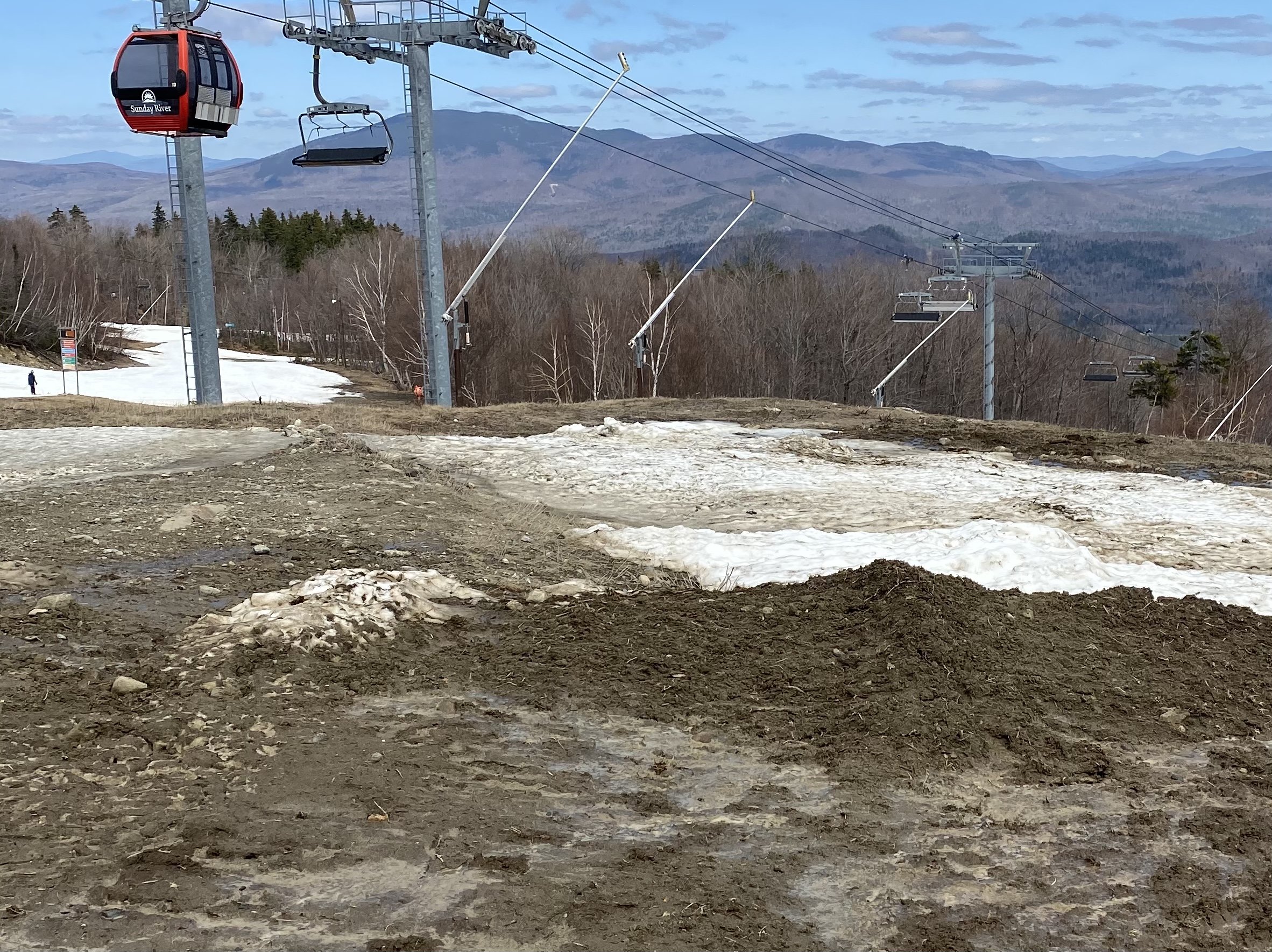
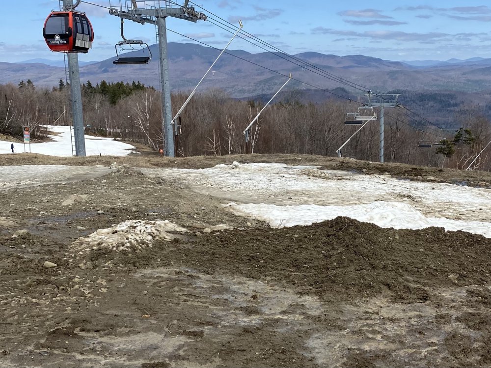
Rode Sunday river on Sunday and sugar loaf on Monday. First time at both mountains. Sunday River was a mess and really struggling, lots and lots of mud and walking. Not a speck of natural snow. Sugar loaf was a whole other world. Tons of natural snow above 3k and had a great time. What an epic mountain. Definitely going back mid winter next season!
-
1997. Huge hit for New England. Temps were just too warm for the city and the island with lots of white rain and a few inches of slush
-
He’s got some elevation so that helps allot this time of year. Mt. Pocono at over 2,000’ will do real well.
-
Decent day out there today given the circumstances. Early from mid mountain up was firm and fast. Below 2500 never locked up so spring conditions continued. By noon the whole mountain softened up to spring conditions which got a little moguled with a Saturday crowed. Planning on heading up to sugarloaf the weekend of the 11/12 as SVT may be finished relatively soon. Over all a decent winter for SVT.
-
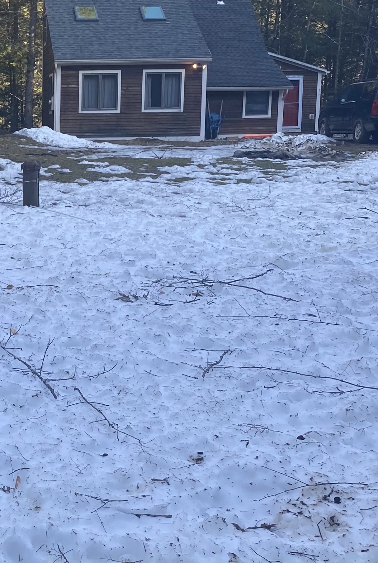
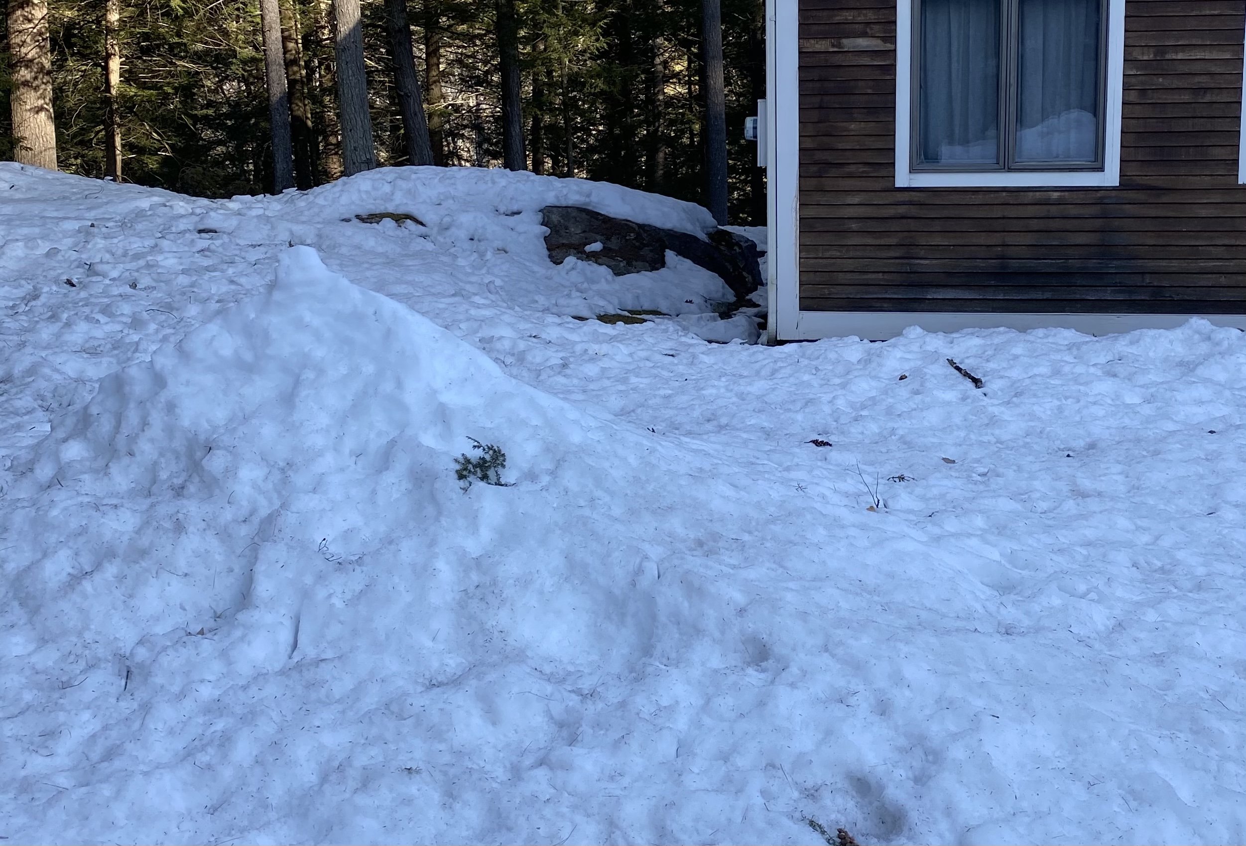
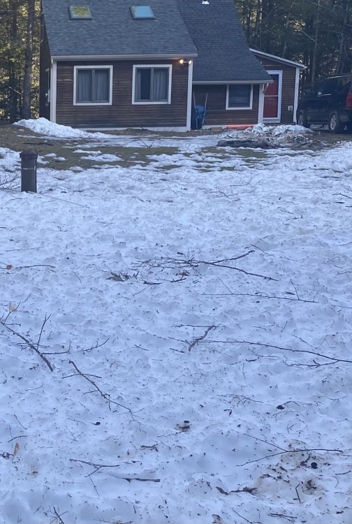
I was surprised to find a decent amount of snow left at my house in SVT. Being tucked in a gorge and north facing really helps with retention.
-
Hopefully we do not see another 2015/16 anytime soon. The worst part about that season was the incredibly warm early season which left only brief windows for snow making. So your entering prime season with very little base. That further complicates things anytime you have a warm up or cutter. 2008 early April was another incredible warm up and rapid melt out. 100% open with deep snow to almost closed in less then a week. High 70s at the summit of Killington. Got the worst sunburn of my life!
-
They are all crowded. The limited loading of chairs and Gondi at Stratton have been an issue. I haven’t been to Mt snow or Okemo this season but I would expect the same. I’m heading up tomorrow for what hopefully isn’t the last weekend
-
Just go to the 3 day weather history on the noaa point and click and it gives you all the rain totals for each site. Looks like most of the heavy rain stayed to our west.
-
The area between the main tracks just north east of the Bahamas should be primed with OHC this season. Majors create so much upwelling the can effect OHC for several seasons.
-
I was a senior at Towson for 2004 and it was incredible. Once thing to look for is damage to the outer branches of trees. You will see brown spots of leaves. I must have been in some sort of epicenter as everything was covered with them. Just walking around meant crunching dozens.
-
We are on the periphery of the hybrid low off the Carolinas. You can clearly see the North East flow off the colder Atlantic. Typical early spring for the Coast.
-
Similar at Killington. My friend was drinking a Gatorade and an employee went ballistic because he wasn’t pulling his mask up between sips. Meanwhile in the outdoor bar area everyone was maskless. I get it’s his job, but yelling and poking was over the top. Honestly I can’t wait for next season, full Gondis all day.
-
Low dews are definitely a factor. Things will really jump Thursday and Friday with high dew warm combo.
-
Daffodils are up here on the uws. Should be in full bloom by the end of the week. Hoping to salvage one more weekend on the mountain, but it’s not looking promising
-
Fantastic explanation, thanks! I am fully expecting to ride only snow making trails next weekend. The pile on superstar at Killington is pretty incredible right now. It has to be at least 30’ deep near the top. That’s how you get into May with uncooperative weather
-
Very true, the rain on this past Thursday in svt just soaked right into the snow pack and the impact on conditions has been negligible. By the afternoon today at Killington it was full on mashed potatoes from 3000’ down.
-
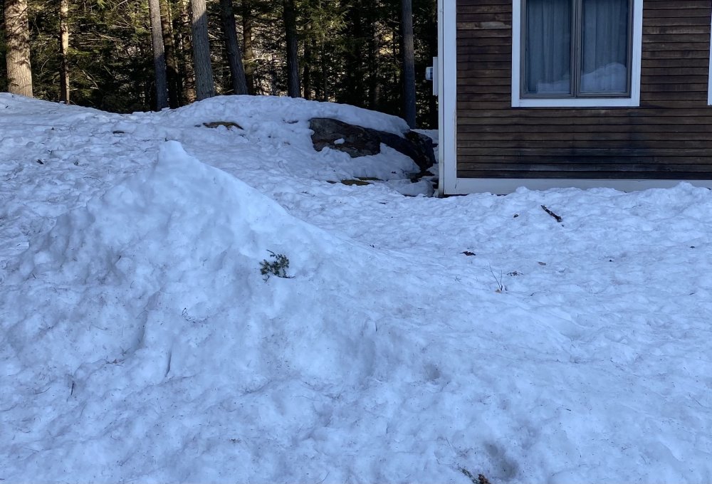
Solid glacier, going to take allot of warm sunny days to melt
-
Good to see. Heading up there tomorrow.
-
Active seasons are almost a lock now unless we have a moderate or stronger Nino. Our buffer zone of sub 80 degree water keeps shrinking as well. It’s only a matter of time before we see a cat three rocket up the coast 38 style
-
R/s line was hovering around 3,000’ during the day today in SVT. Here at my house at 1400’ precip ended before we got any colder air in. Based on some pretty heavy rates after I left the mountain there should be something like 6” above 3500’. Still plenty of snow left even at 1400 with 100% coverage and an average of about 12”. (North facing)
-
Snowing above 3,000 today at Stratton, about 2” of mashed potatoes before I got too soaked lower down and had to call it a day. If it keeps ripping up high this could be a nice little event
-
OBS and nowcast mainly midnight - Noon Thursday Feb 11
LongBeachSurfFreak replied to wdrag's topic in New York City Metro
Only about an 1” on the uws. We seemed to be just north or south of the best banding