All Activity
- Past hour
-
Dover has missed rain for months on end, but today they are the epicenter of severe.
-

Augdewst 2026: Summer's Last Stand
VivaManchVegas replied to Prismshine Productions's topic in New England
-

E PA/NJ/DE Summer 2026 Obs/Discussion
Kevin Reilly replied to PhiEaglesfan712's topic in Philadelphia Region
Had an isolated heavy shower pop up earlier .10" in like 8 minutes guess round 1 at 3:15 pm then partly sunny. Round Two was a tornado warning picked up .90" wind gusted maybe 25 mph one lightning strike not too impressive overly, but if you looked up clearly see the clouds moving all kinds of different directions so lots of shear with a jet stream right over top. Clouds now are just flying eastbound very rapidly winds west gusting to 30 mph currently front through. I am sure there will be some confirmed tornado reports from today's event in the Mount Holly NWS area. -
Big GOA low is pretty consistent with super Ninos.....that composite isn't very cold due to that GOA low placement....but the AO/NAO region is good enough that we could def score some chances in that type of pattern. If you want to go gangbusters though, you'd have to retrograde that GOA low about 1000 miles west. I think the way you'd get multiple chances in this type of Nino is to follow that Dec '97 type pattern and then hopefully get something more like Feb '83 instead of Feb '98. But there's no way to know any of that this far out. Dec 1997 had a block in a similar spot to the Roundy plot. Despite the terrible placement of the AK vortex that month, the block there and the east-based NAO blocking gave us enough seasonal temps and synoptic advantage to grab some legit chances in New England. Obviously the big one was 12/23/97 but a lot of people prob forget how close 12/29-30/97 was to being a monster snowstorm....ended up being a decent front ender over interior, but it went up through CT valley. Also had a close miss a couple days earlier that scraped SE areas.
-
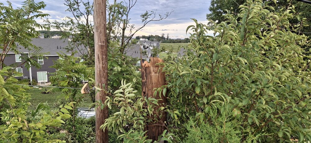
Spotter in Dover reported flying debris and rain wrapped tornado at 618pm
-

Augdewst 2026: Summer's Last Stand
vortex95 replied to Prismshine Productions's topic in New England
Part of the problem is that you are always IMBY. I seem to recall, "if it is not within 5 mi of Weymouth, MEH!" You can't think like that for tstms, and even synoptic-scale R/S. You watch, when the next HU hits, you will still find issues. "I was supposed to get 120 mph gusts, and I only got 90!" And yet almost every tree in your neighborhood will be down or damaged and you will have no power for 3 weeks. -

Augdewst 2026: Summer's Last Stand
Damage In Tolland replied to Prismshine Productions's topic in New England
Dover gone -
Starting to Thunder here in Woodbridge TWP. NJ
-

2026-2027 Record-breaking El Nino
Ephesians2 replied to Stormchaserchuck1's topic in Weather Forecasting and Discussion
implies a bad Pacific, which I think is more likely than not unless the PDO reverses -
Looks like some more to come thru in an hour or so from western NJ
-
.thumb.jpg.6a4895b2a43f87359e4e7d04a6fa0d14.jpg)
Central PA Summer 2026 Discussion/Obs Thread
Yardstickgozinya replied to Voyager's topic in Upstate New York/Pennsylvania
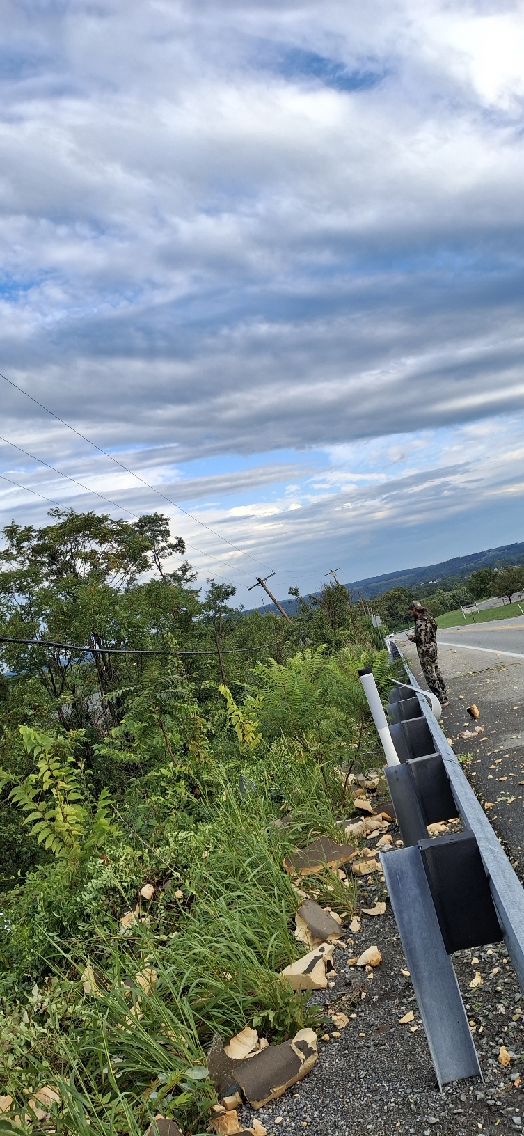
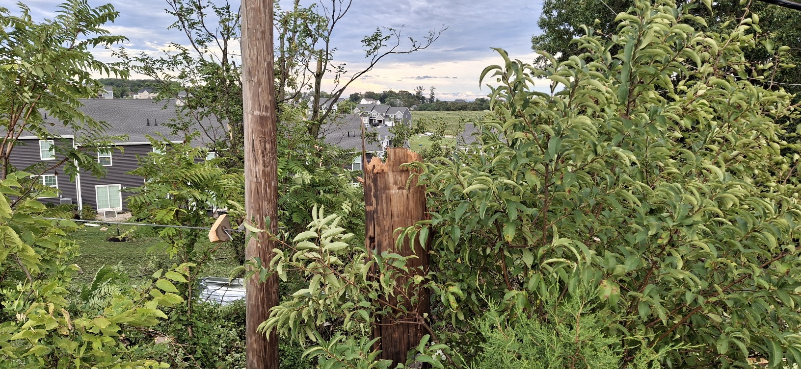
Fifty kids were in attendance. No injuries at the school -

Augdewst 2026: Summer's Last Stand
CoastalWx replied to Prismshine Productions's topic in New England
I always give my reasons though. This is behaving as expected so far. I don’t expect much here just hoping for half inch. -
.85” thru the Davis here.
-
Yikes ..A TORNADO WARNING REMAINS IN EFFECT UNTIL 645 PM EDT FOR CENTRAL KENT COUNTY... At 618 PM EDT, a confirmed large and extremely dangerous tornado was located over Dover Speedway, or over Dover, moving northeast at 30 mph. Damage from the tornado has been reported in Dover.
-
Another miss of rain today. I'm at 1.66" for July and .87" for August. That is from the Davis Vantage Pro 2. During one brief heavy downpour it did rain extremely hard so it might have missed a slight bit. Still it is extremely dry! Watch what happens this weekend. I just looked at the 18Z GFS. Things fall apart yet again for me? Arrgghhh...
-
Yeah agree.
-
Augdewst 2026: Summer's Last Stand
vortex95 replied to Prismshine Productions's topic in New England
The pot calling... "It won't happen" goes far beyond just convection. -
Augdewst 2026: Summer's Last Stand
CoastalWx replied to Prismshine Productions's topic in New England
Congrats Dover DE -
That's probably gonna be an EF2, hopefully not a 3
-
they must have the rain gauge under trees - also this araa of precip is moving fast and should be east of NJ by 9 PM
-
Central PA Summer 2026 Discussion/Obs Thread
Yardstickgozinya replied to Voyager's topic in Upstate New York/Pennsylvania
More pictures and videos coming later
-

2026 Mid-Atlantic Severe Storm General Discussion
AlexD1990 replied to Kmlwx's topic in Mid Atlantic
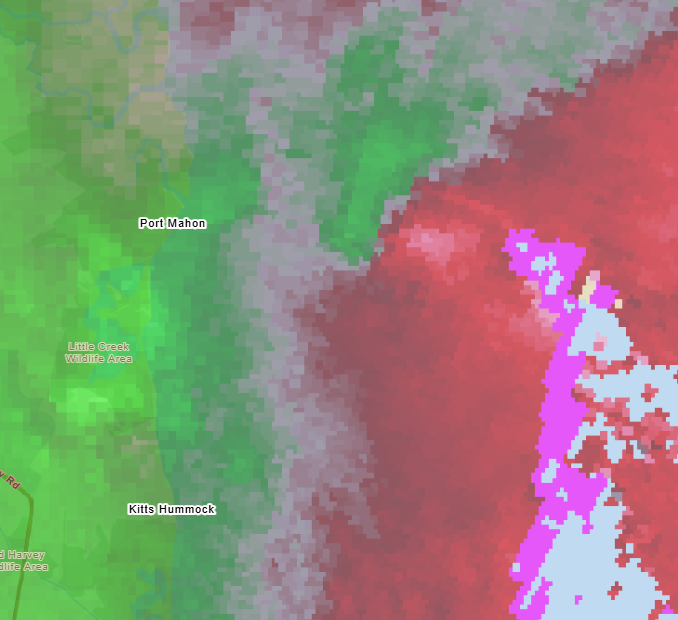
I have never seen a signature like that in this area. My god- 2,139 replies
-
- 1
-

-
- severe
- thunderstorms
- (and 7 more)
-
.90" so far
-
Prediction: Central Park - .10"
-
0.99” in the Davis so far.