All Activity
- Past hour
-

2026 Mid-Atlantic Severe Storm General Discussion
Ellinwood replied to Kmlwx's topic in Mid Atlantic
Missed the D.C. area but certainly verified northwest of I-95.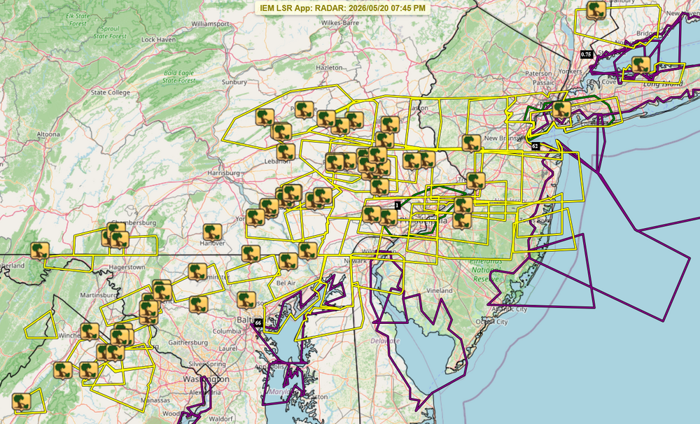
-
Nice t storm finally, still raining with 0.55" so far, wind gusted to 50 mph. Had high of 95° earlier, currently 69° which is the low.
-
Basically nothing for DC.
-
Best thunderstorm in a few years in sw Nassua. Winds were sub severe but the rain an ctg lightning was extremely impressive. Over 2” here .
-
Was out west of Leesburg this afternoon when the first round hit. When the rn started the first 30 seconds of precip were massive globules of water. If they had been snowflakes they would have been hang gliders - not just mere parachutes.
-
Finally a decent thunderstorm, good rain, lightning and thunder. Seems like it's been forever. Thankfully no damaging wind
-
Winners in the severe weather sweepstakes would, for me, always be those who don’t get any. On the losing side——- Shutout on rain thus far near Chestertown and hopefully the next several days’ potential activity will provide some.
-
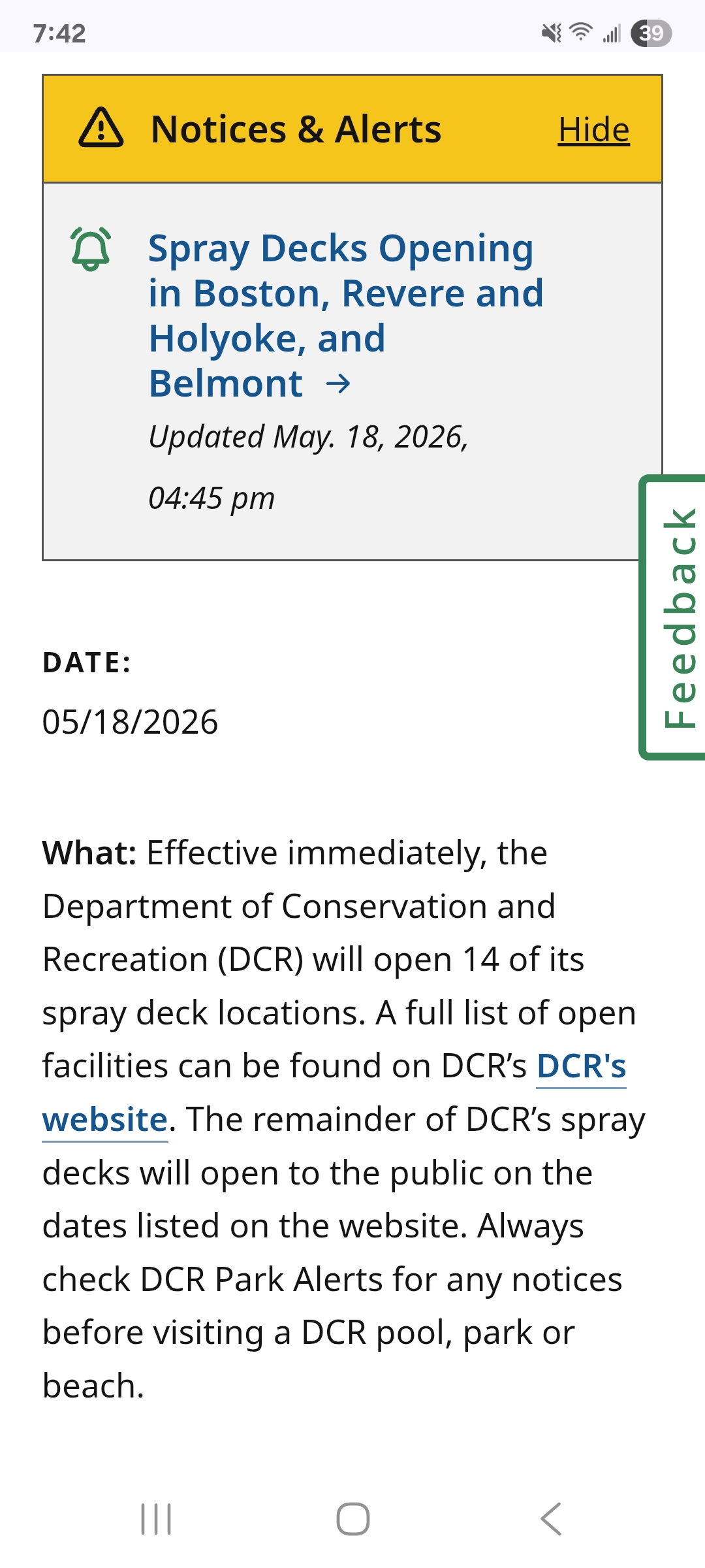
We won't be needing these anymore.

-
0.72" in my part of Frederick this afternoon. "only" a 21 MPH gust on my station, but it's 5 feet off the ground and between two rows of townhouses. But judging from the rain blowing along the roofs I'd say more like 30+ sustained for some periods. Looks like power lines down west of me along route 85 from FB reports.
-
Yeah it's been blazing hot. 0.7 degrees above normal. That's before this weekend.
-
Nope, storms vaporized as soon as they got close, then reformed. Can't make this shit up. Sunny and 92 all afternoon. I swear there's some sort of weird atmospheric thing by me that kills t storms.
-
Tomorrow I think will be busting.
-
I definitely get the PTSD. Shoot sometime I still wake up at 3:30 on the dot because I can remember all hell breaking loose here. The wind, the rain, trees falling all around. Such am eerie freaking feeling and it was just dead silence besides the storm just raging. But those conditions came from weather conditions that are not common and a hurricane that took a perfect path and perfect speed to do that damage. Shoot the whole week was crazy. I remember @Tyler Penland filming a tornado up in Blowing Rock! How crazy! Anyways we will get rain and the storms are coming. This is nothing knew and nothing out of the ordinary. Enjoy mother nature's beauty.
-
Just had my power flicker off for a few seconds.
-
It’s not crappy everywhere. Not even close. It’s def not summer vibes but really comfortable for outdoor activities.
-
Yeah, I see that as well. Tree looked healthy while up but I noticed that too.
-
I saw 93 for the Park today
-
Lots of thunder but no rain. Looks like the bulk of it will stay south of me. It is producing some very nice cooling breezes though. Inside the house was up to 85 earlier. #not-installed
-
Refreshing
-

2026 Spring/Summer Mountain Thread
franklin NCwx replied to Buckethead's topic in Southeastern States
Got a good storm for about 30 mins. At least it knocked the pollen and dust down -
You get hammered today? I saw where Atlanta has flash flooding today.
-
Today was another hot day. High temperatures included: Atlantic City: 97° (old record: 96°, 1996) Baltimore: 96° (old record: 95°, 1962) Bangor: 87° (old record: 86°, 1996 and 2003) Boston: 90° Bridgeport: 93° Hartford: 90° Islip: 93° Manchester: 89° (old record: 87°, 1887) New York City-Central Park: 92° New York City-Central Park: 92° New York City-Central Park: 92° Newark: 96° Norfolk: 94° Philadelphia: 95° (old record: 94°, 1962 and 1996) Portland: 89° (old record: 86°, 1959) Poughkeepsie: 91° (tied record set in 1962 and tied in 1975) Providence: 93° Raleigh: 96° (tied record set in 2022) Richmond: 96° Washington, DC: 96° (tied record set in 1996) Wilmington, DE: 95° Thunderstorms will move through the region this evening and early tonight. In the wake of the frontal passage, tomorrow will see temperatures top out in the upper 60s and lower 70s. Afterward, it will turn much cooler with highs only in the 60s on Friday through the weekend. Saturday could be rainy and particularly chilly. The temperature may remain in the 50s all day. The ENSO Region 1+2 anomaly was +1.8°C and the Region 3.4 anomaly was +0.9°C for the week centered around May 13. For the past six weeks, the ENSO Region 1+2 anomaly has averaged +1.63°C and the ENSO Region 3.4 anomaly has averaged +0.70°C. El Niño conditions are now in place. The ongoing El Niño will continue to strengthen through the summer. The SOI was -5.73 yesterday. The preliminary Arctic Oscillation (AO) was -0.160 today. Based on sensitivity analysis applied to the latest guidance, there is an implied near 58% probability that New York City will have a warmer than normal May (1991-2020 normal). May will likely finish with a mean temperature near 63.6° (0.4° above normal). Supplemental Information: The projected mean would be 1.1° above the 1981-2010 normal monthly value.
-
90 percent chance of rain today and it just fell apart before it got here and redeveloped south/east of here. Brutal miss on the forecast. Not sure why the atmosphere just isn't responding how models or I guess, meteorology would suggest.
-
Nothing line the unison hum of ACs on the block. It’s like a Mozart symphony
-
Shit developing right over Brooklyn wow constant lightning