jbenedet
-
Posts
7,836 -
Joined
-
Last visited
1 Follower

About jbenedet

Recent Profile Visitors
20,745 profile views





-
I’d actually prefer a snowless winter to just end this debate once and for all. Just slay it. I want the headlines. A big part of this trap is the subtlety of the rate of change… It’s time we all came around to a common reality on this topic.
-
Looks like it’s made a turn north
-
Location?
-
-NAO developing… I’d take the over on slower ejection northeast and more blocking from the NB high. Therefore take the over on rainfall totals, where the training has already set up along the coast.
-

Strong Nor'Easter/Hybrid Storm Late September 2026
jbenedet replied to Rjay's topic in New York City Metro
985 at that latitude on 9/26 put it in a very rare group for North America Increasingly awkward position if they don’t want to classify this as STC -
Strong Nor'Easter/Hybrid Storm Late September 2026
jbenedet replied to Rjay's topic in New York City Metro
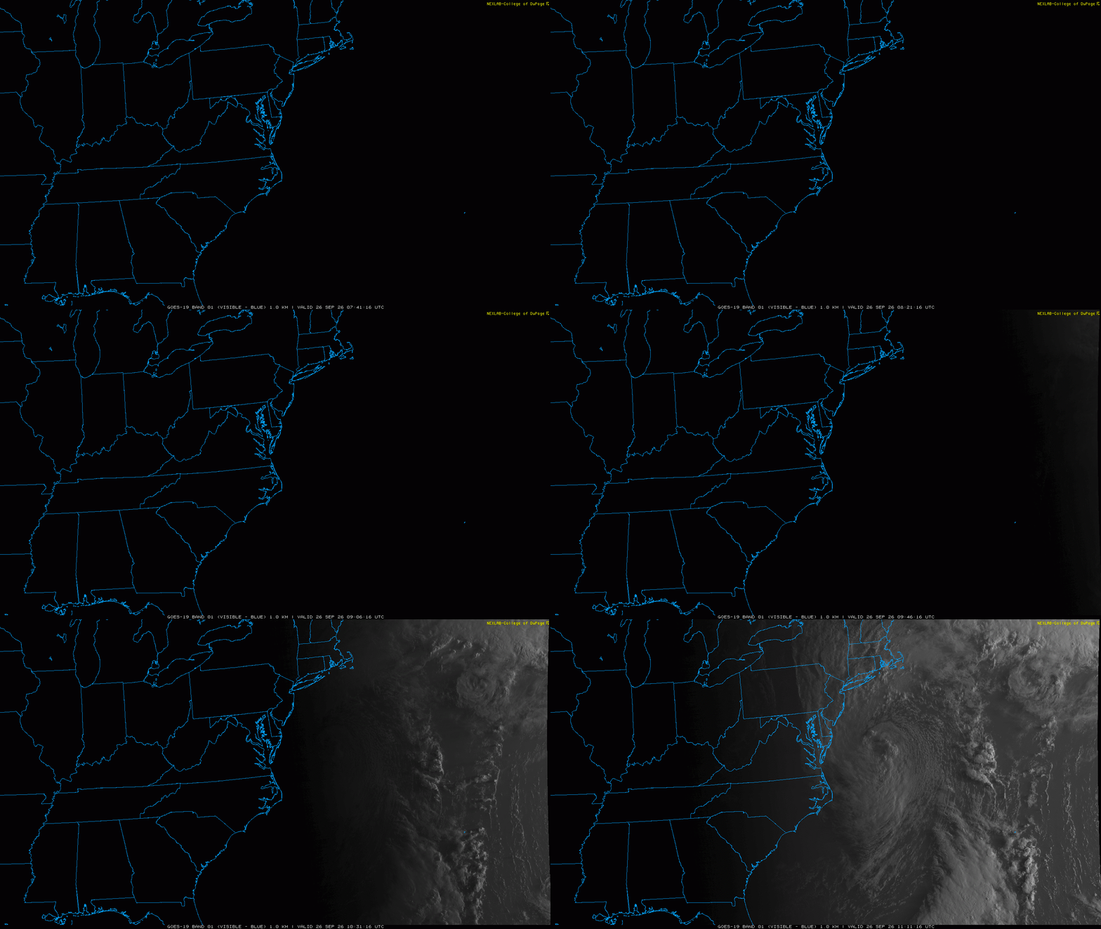
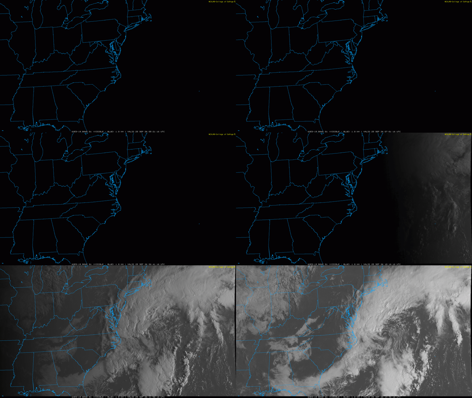
Good morning from your ‘Not’ a nor Easter.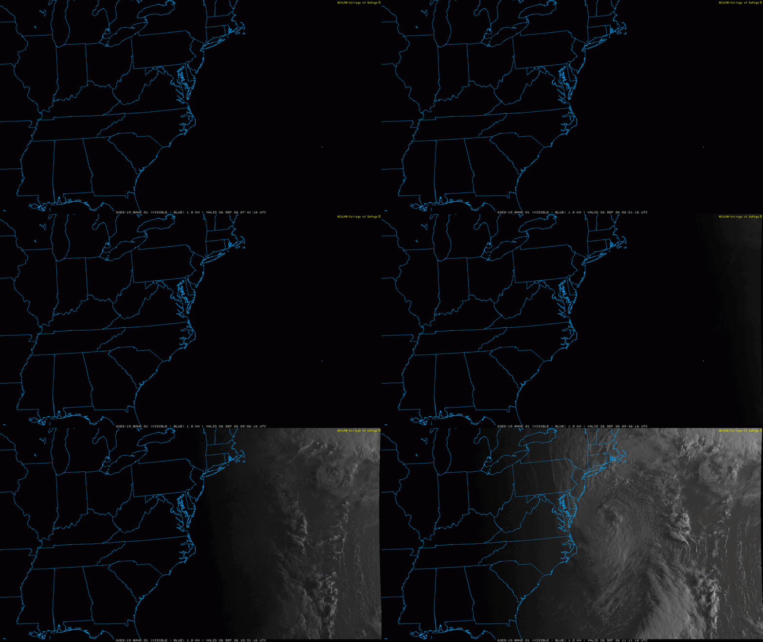
-
Strong Nor'Easter/Hybrid Storm Late September 2026
jbenedet replied to Rjay's topic in New York City Metro
If not in real time it will happen in the post storm reanalysis -
Strong Nor'Easter/Hybrid Storm Late September 2026
jbenedet replied to Rjay's topic in New York City Metro
Pretty clear on the guidance that the evolution is mid lat cyclone to STC to tropical warm core/STC. -
Strong Nor'Easter/Hybrid Storm Late September 2026
jbenedet replied to Rjay's topic in New York City Metro
Much warmer SST’s than with sandy also affect thermal expansion and higher sea level. A marginal factor but another consideration… -
Strong Nor'Easter/Hybrid Storm Late September 2026
jbenedet replied to Rjay's topic in New York City Metro
This already has that eye type feature you only see on sub 975 mb mid latitude cyclones or true STC’s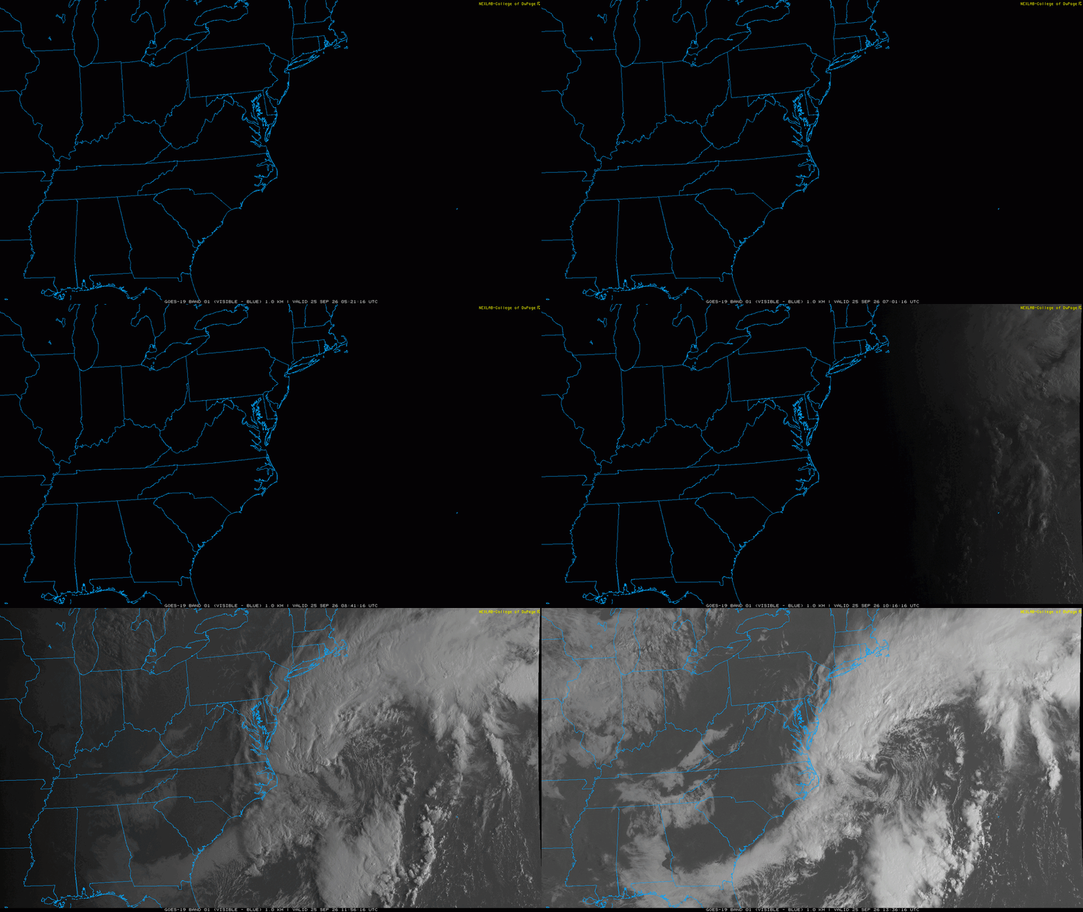
-
Strong Nor'Easter/Hybrid Storm Late September 2026
jbenedet replied to Rjay's topic in New York City Metro
Trees snapped in half rather than uprooted bc the tree line wind was ripping but the ground was rock hard and didn’t have efficient mixing to surface in gusts. That looks opposite with this one. -
Strong Nor'Easter/Hybrid Storm Late September 2026
jbenedet replied to Rjay's topic in New York City Metro
I remember distinctly with Sandy it was a dry storm on LI and drought conditions leading into it. That really helped mitigate the wind and power outage impacts. This is obviously a much weaker storm but the convective nature of it should help to maximize the rainfall (fresh water flooding) and wind threat along the coast. -
I don’t think sub 990 mb mslp happens south of 40N in late September unless there is a tropical aspect to the system. Baroclinicity alone isn’t sufficient for that level of deepening.
-
I have long been a critic of the NHC on topics like this. Way behind the ball. I think they need to reconsider their mission statement. NHC tracking fish storms in the middle of the Atlantic….some 2000+miles away from any civilization. Meanwhile 10+ million Americans exposed to a modeled tropical type storm inside 48 hours and they haven’t even flagged it.
-
Septorcher 2026 Discussion - Endless Summer
jbenedet replied to Damage In Tolland's topic in New England
There’s actually three areas of SLP development and the one south of Cuba is the most interesting…