TWCCraig
-
Posts
2,663 -
Joined
-
Last visited
About TWCCraig

- Birthday April 4
Recent Profile Visitors
4,226 profile views





-
Forgot about these cool SST maps from Rutgers. No cloud correction so the clouds from Josephine impact the regional view. Some very warm water just offshore https://marine.rutgers.edu/cool/data/satellites/imagery/?region=nybight&product=sst&sm=10&sd=15&sy=2026&em=10&ed=22&ey=2026
-
Still no 30's here. 40.0 for the low on this part of LI. Winds stayed up most of the night Should see widespread 30's tonight outside urban areas with calm winds.
-
40.2°F low. No frost here. Looks like Westhampton dropped to 30 degrees. Avoided the 30s here for now
-
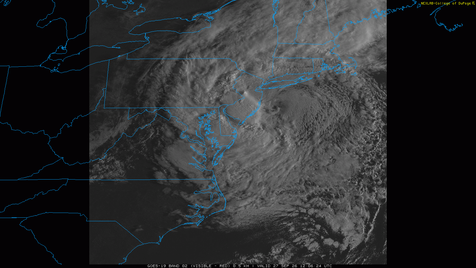
Strong Nor'Easter/Hybrid Storm Late September 2026
TWCCraig replied to Rjay's topic in New York City Metro
Amazing looking satellite. Reminds me of the blizzard of 2006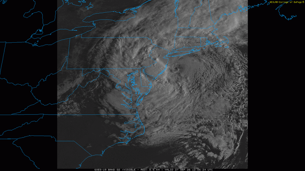
-
2.05" and still raining Another solid event, 19.28" since July 1st
-
The wind is incredibly calm right now considering the sun is still out Another great day. High 80, low 58
-
Incredible rainfall rates right now. My Davis recorded a rainfall rate of over 6"/hr at one point. Not sure about accuracy of that, but the rates are definitely up there. Been raining for about a half hour now and already up to 1.23" and climbing fast. The end is near though! Streets are completely flooded. Storm drain across the street overflowed. I only seen that a couple times in my life EDIT: 1.42" total this morning. 8.24" for August so far. 15.70" since July 1st (54 days)
-
4.48" total so far in Bay Shore, just unreal. Biggest rain event here in years. SW Suffolk got crushed
-
3.00" so far. Just relentless torrential rain since it all started at 7pm so averaging around 1.5"/hr for the past 2 hours now. Had a rainfall rate of over 4"/hr at one point.
-
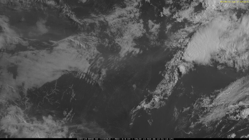
Thankfully not too thick and mostly elevated, but a noticeable band of smoke is moving through the area today from western wildfires HRRR for 2pm today: (Seems like the thickest already passed)
-
85/78/99 here I've been growing 3 different types of palm since 2017. Needle palm and Sabal Minor dont grow into trees but they are cold tolerant enough to survive our winters completely unprotected. I had some defoliation with this past winter being as harsh as it was but they survived and are growing back well this summer. I also have a Windmill palm which does grow a trunk. You would need to have some protection from the coldest days in the winter for a Windmill palm, but the vast majority of the time you could leave them unprotected. It's truly amazing being able to look out the window when it's 20 degrees outside, everything is dead and brown but the palm trees stay green like evergreens. Wish more people knew they can grow here
-
57.9 this morning 3 consecutive nights below 60 degrees in July, last time that happened out here at ISP was 2018
-
Some unofficial lows around the area this morning: Monticello: 48 Somerville: 52 Toms River: 51 Westhampton: 50 East Hampton: 50 Central Park: 66
-
Still a little bit of low level smoke, but skies are much clearer overall. It's great seeing the sun again! HRRR brings some smoke back in later tonight with the sea breeze. Looks pretty clear by Sunday
-
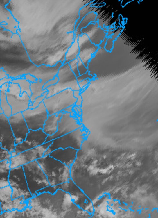
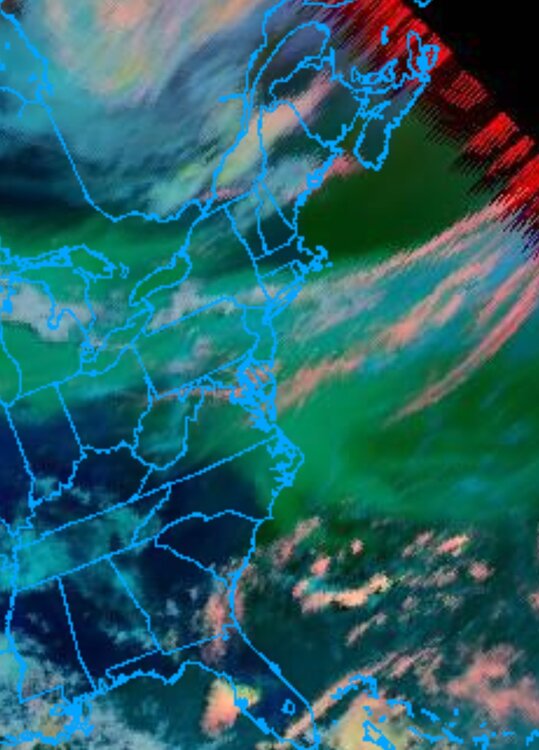
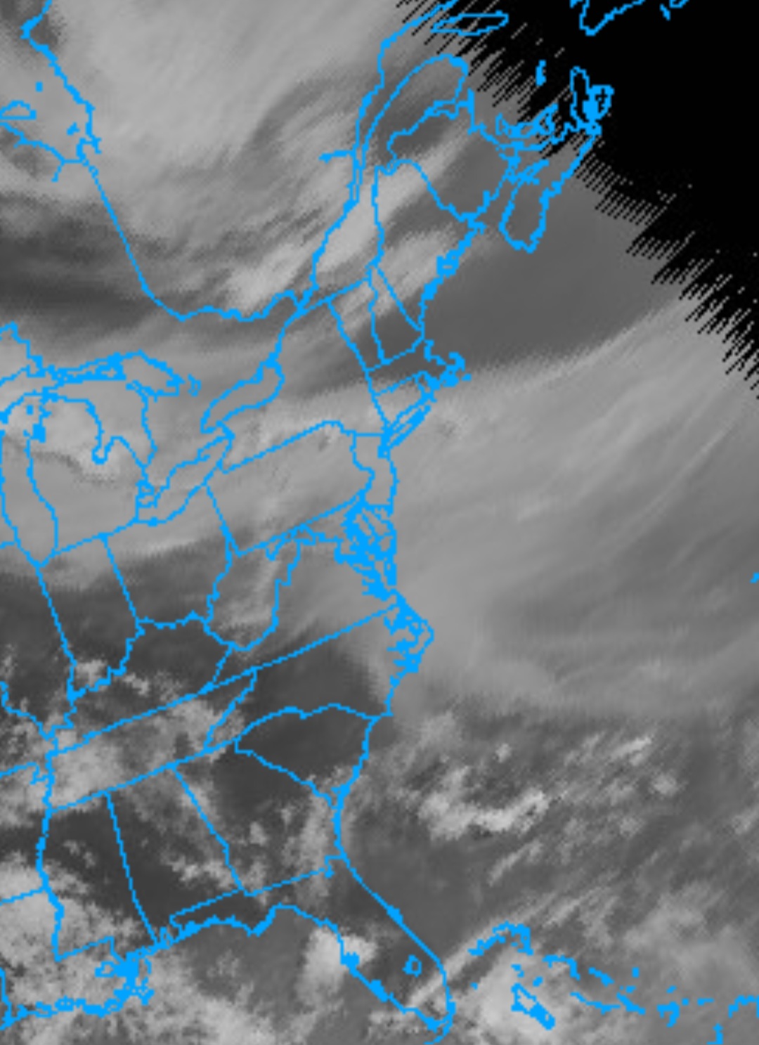
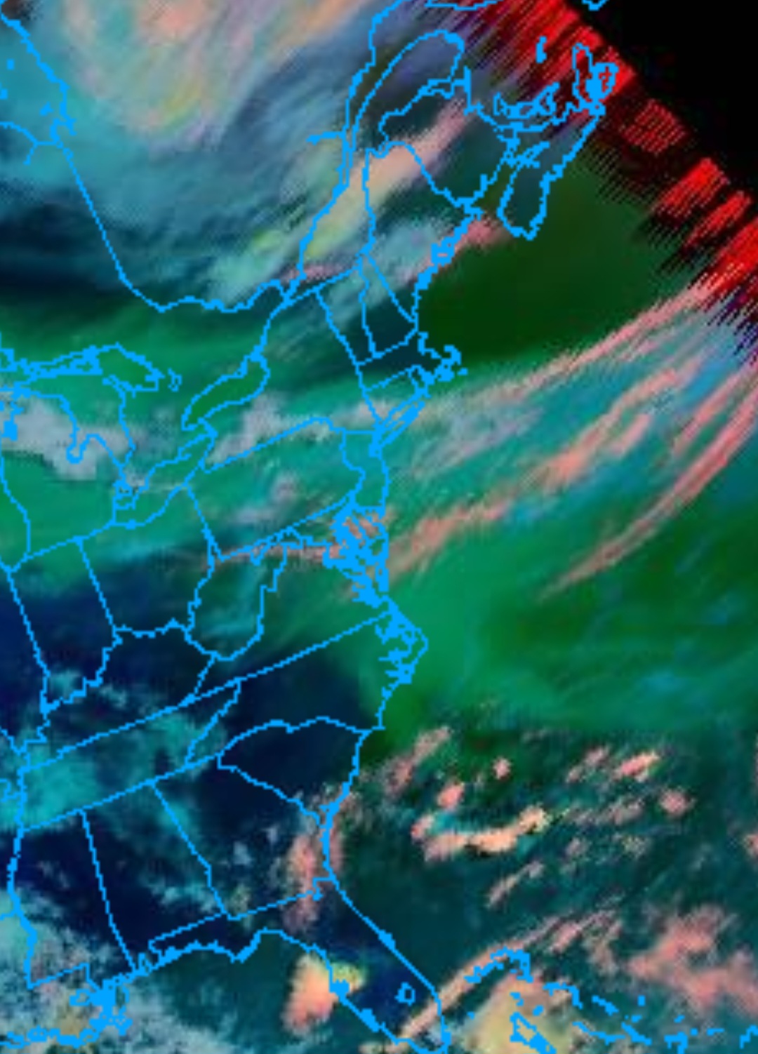
Since GOES-EAST is down, you could use GOES-WEST, though it's not ideal since we're near the edge of the disc image, so images appear blurry but its better than nothing. The colored image distinguishes between cloud types. Smoke is green, blue and red are clouds