All Activity
- Past hour
-
Coming through Holyoke..
-
Storm's picking up here. Hopefully it leaves some cooler air behind it.
-
Doesn’t seem to be a lot of lightning south of the pike
-
i went out this morning in my hoodie felt nice we had a nice breeze that helps..
-
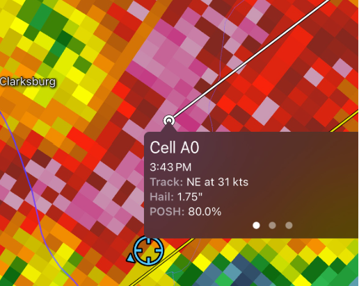
I just missed the heart of that nasty MontCo cell, and I am GLAD. I got approx. 0.75" hail for a few minutes so I am thinking Clarksburg got it bad. I do not like hail one bit after experiencing baseball size hail twice (Kettering, MD 1978; Orlando 1992)
-
I wasn’t in a great spot for pictures today, but we had two lines roll through and mostly just heavy rain and a few rumbles/flashes. Really not that impressive despite how radar looked.
-
I'm liking the surges in the line near Thompsonville and Northampton.
-
Weak rotation over south Hadley
-
Tornado possible in the warning for Belchertown
-
Come to papa
-
Clearly on the north shore, would be a nightmare day on the south shore. Ripping onshore wind and temps around 55.
-
Severe warning on the right-moving Mt Airy cell
-
Just got home no rain here but looks like the wind probably got pretty strong small branches down everywhere
-
I can see a shelf arriving!!!!!!
-
Machines ahead of the humans on this one-models backed off 36 hrs ago
-
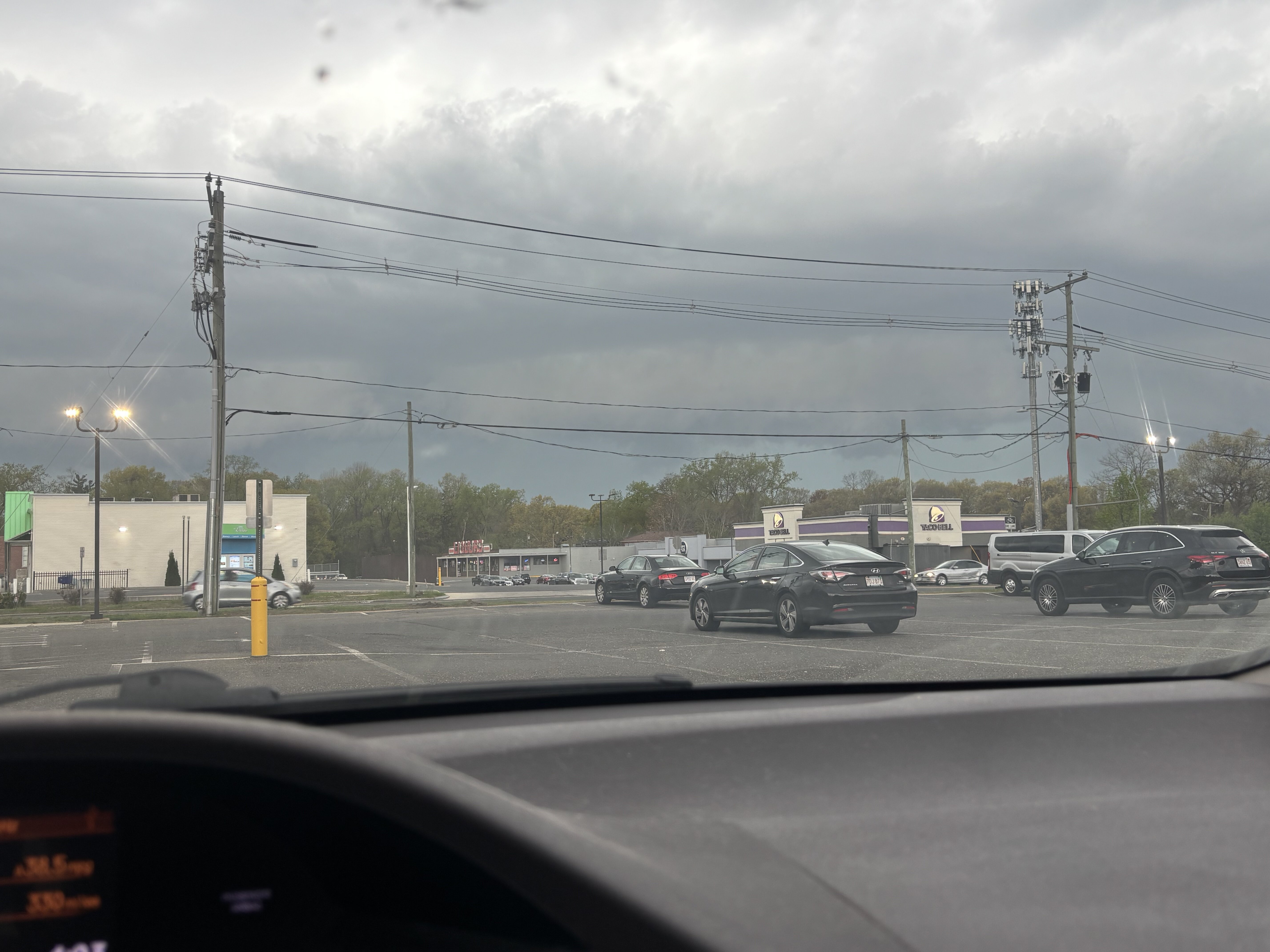
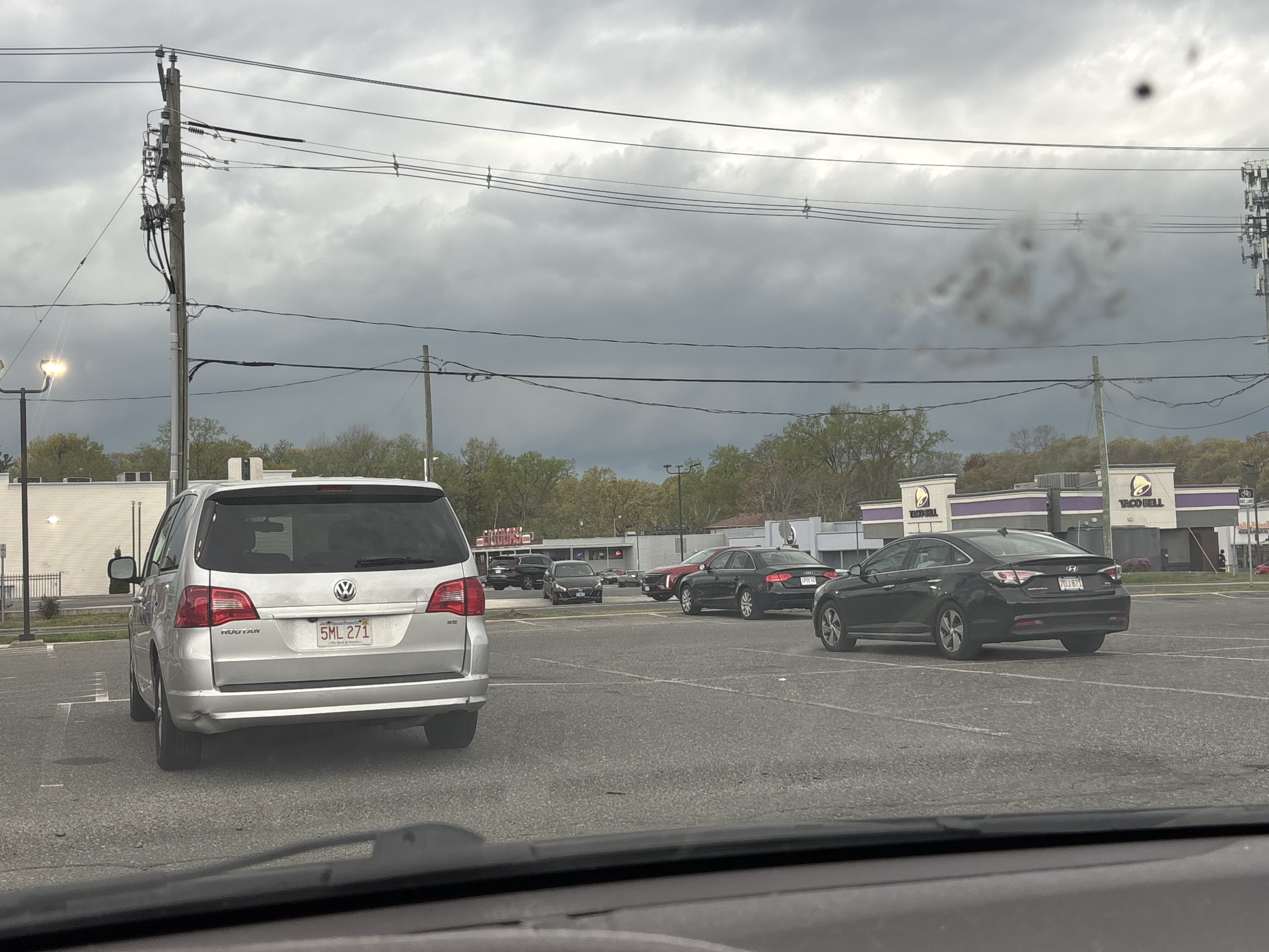
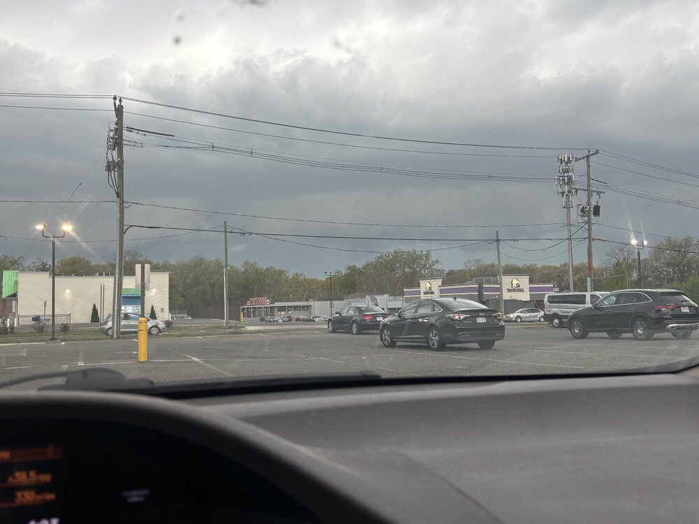
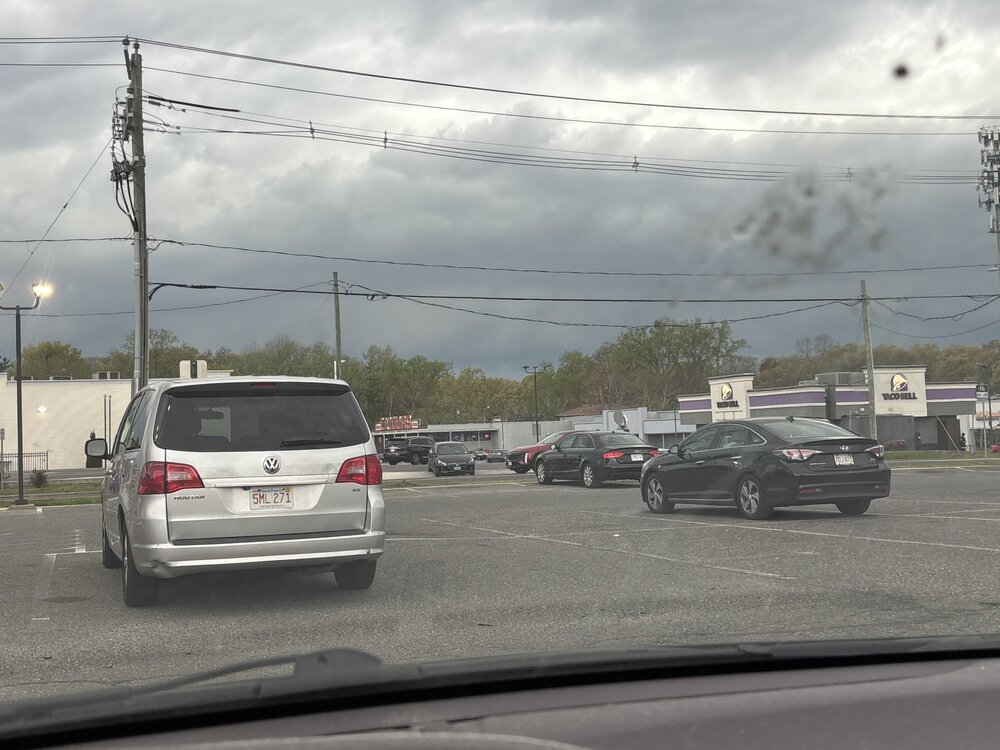
Got to the parking lot just up the road. Thankfully it’s only a 3 minute drive. Got here and realized I forgot my camcorder and had to go back home
-
This is pretty darn good for 5/3. Microburst Hampton NH earlier.
-

Central PA Spring 2025
Itstrainingtime replied to canderson's topic in Upstate New York/Pennsylvania
Storms in MD and WV already have solid hail cores as they advance NE towards the Mason/Dixon. -
Damage!
-
40% chance of t'storm watch.
-
New England “severe”.
-
Winsted is meh too. I'm here now.
-
Pretty wild winds as that moved through here in New Hartford!
-
Looks like cool & wet conditions thru mid May. That’s a win in my opinion. Means at least not wall to wall hot & maybe just maybe a wetter summer & no drought. Yep wetter soil means more humidity but not usually extreme heat.
-
Aside from Winsted looks meh.


.thumb.png.4150b06c63a21f61052e47a612bf1818.png)