All Activity
- Past hour
-
The storms firing up near Lancaster would be the ones that come this way unless stuff gets going closer.... so 5-530 is probably a bit premature of a radar depiction!
-
89/79/105. Awful after that shower
-
Montiviola about 10 miles southwest of Crozet reports 1.19" since noon. The east of the Blue Ridge daily monsoon continues while west of the B.R. a very serious drought situation gets worse by the day.
-
Big time. I thought it was just me.
-

Augdewst 2026: Summer's Last Stand
weatherwiz replied to Prismshine Productions's topic in New England
yup going to want to watch that dewpoint/MUCAPE gradient. I also have to say...things are evolving a good 3-4 hours earlier then I was anticipating. But this is where we stand with MUCAPE. Activity may come through early enough that the storms remain surfaced-based which could mean an increased risk for damaging wind gusts well into the region. But to go along with Scott's posts about the dewpoints, there is a significant drop off in MLCAPE values away from the coast as drier air mixes down. Have to see when/if they rebound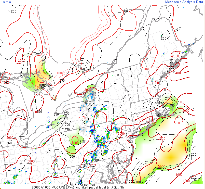
-
Unless something changes, it looks pretty bleak south of the PA line.
-
I'm an Eskimo that lives south of Mason-Dixon. I've accepted my fate.
-

Central PA Summer 2026 Discussion/Obs Thread
Mount Joy Snowman replied to Voyager's topic in Upstate New York/Pennsylvania
Same! Hail and close lightning strikes. And I’m not liking the look of the radar, the way it’s backfilling could train right over us. Urban flooding is pretty intense here right now. Aye. -
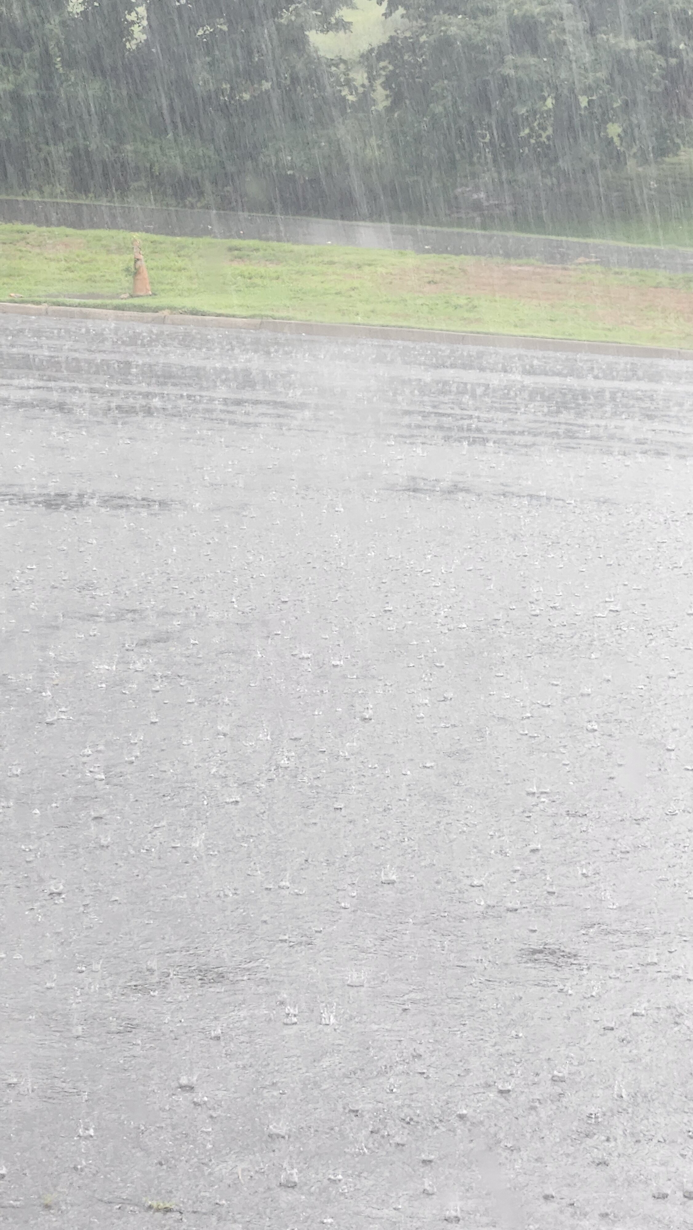
Torrential rainfall setting in now with these storms.
-

Central PA Summer 2026 Discussion/Obs Thread
Itstrainingtime replied to Voyager's topic in Upstate New York/Pennsylvania
Yes indeed. Skies briefly brightened but it just re intensified again. -

Central PA Summer 2026 Discussion/Obs Thread
Superstorm replied to Voyager's topic in Upstate New York/Pennsylvania
Those storms may be training over you. . -
Central PA Summer 2026 Discussion/Obs Thread
Itstrainingtime replied to Voyager's topic in Upstate New York/Pennsylvania
1.5" and now it's hailing as well. -
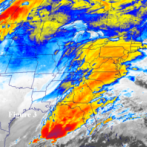
Radar depicting storms to be here btwn 5-5:30PM.
-
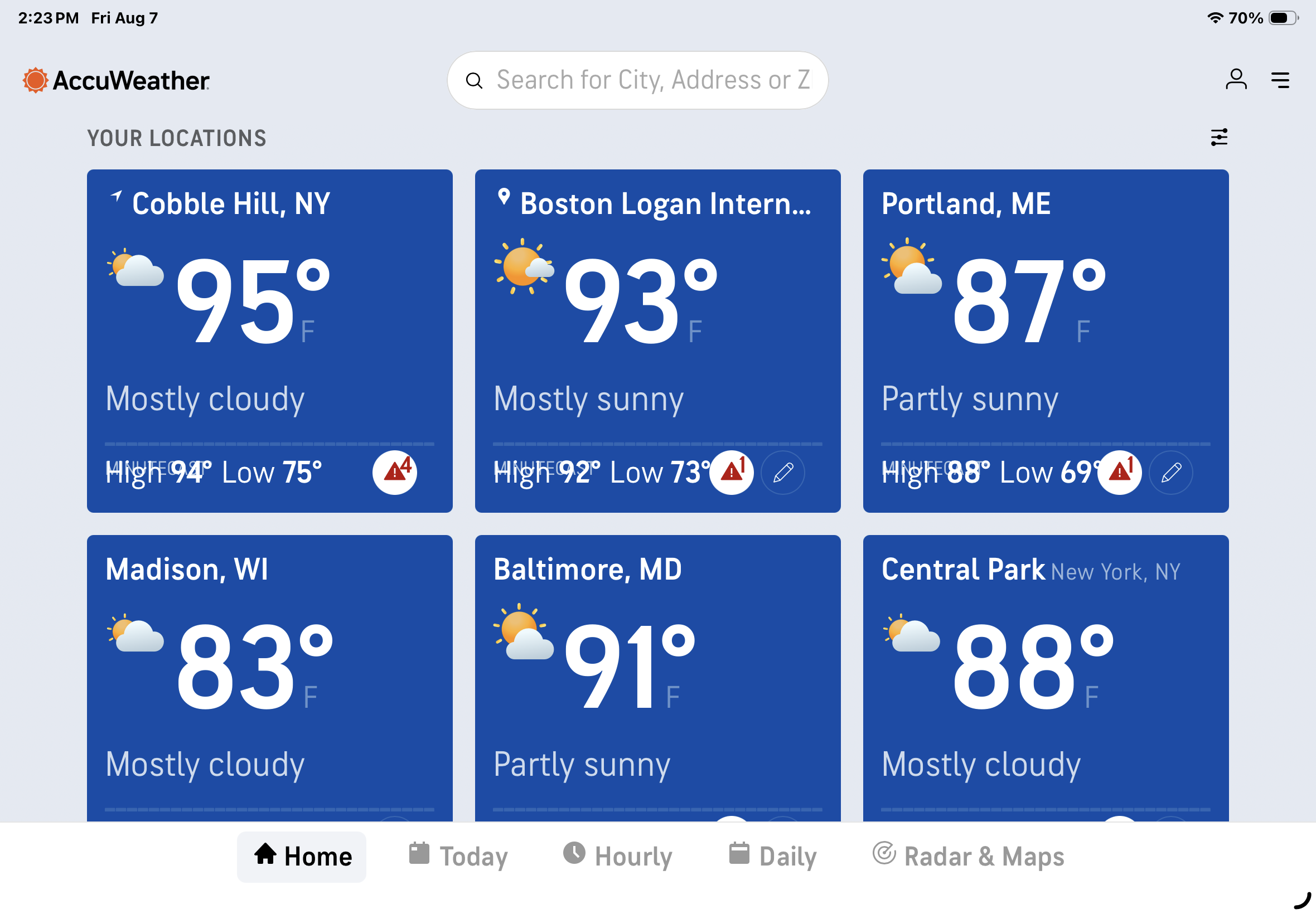
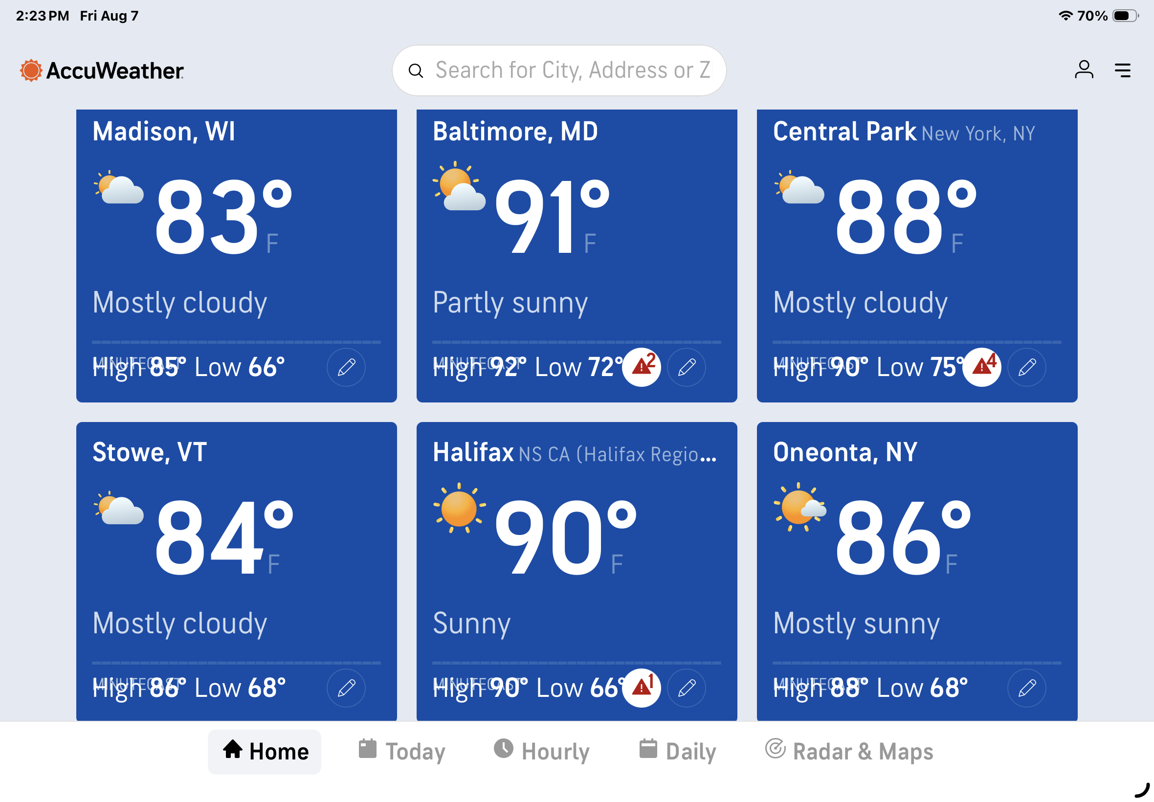
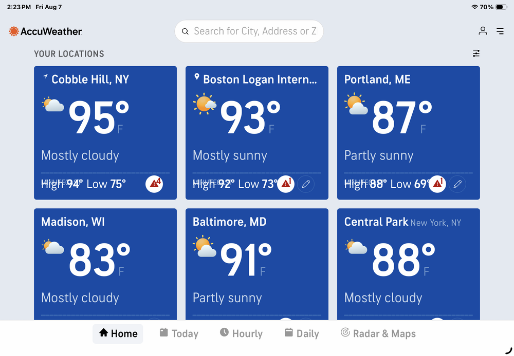
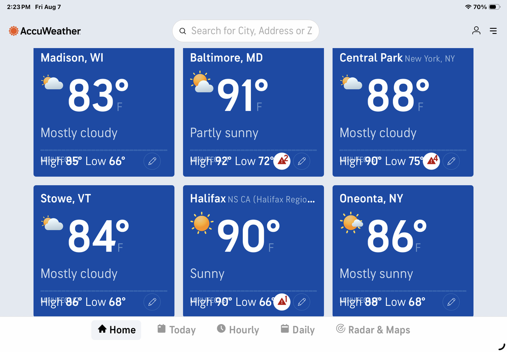
My Brooklyn Cobble Hill area 8 miles SSW of Central Park is warmer. For that matter so is Halifax quite a bit to the north and east. As always ….
-
I could see that developing just to my north and heading east
-
94 / 74 here storms in EPA/NW NJ
-

2026-2027 Record-breaking El Nino
MarcmmKU replied to Stormchaserchuck1's topic in Weather Forecasting and Discussion
As bluewave said none of the modelling will pick up on a 10 F + month until it's very very close to occuring. I'm expecting a torch month (almost certainly december), with january and february above normal by 5-6 F rather than 10. -
91 here DP72/RH 55%
-
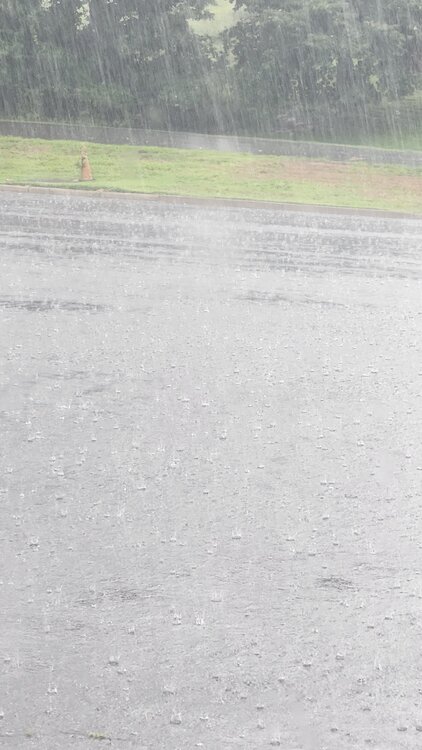
Not sure why they took Waynesboro Eastern Augusta off the extreme drought... Current situation up near CHO airport.. intense rains again.... large bolt just slammed something near or the runway itself - bolt seemed to freeze in air....
-
im guessing mid 70s
-
 zoom in on Okinawa and vicinity with gusts of 55kt at Yoron Island north of Okinawa
 -
what are the water temps in the Sound and the Atlantic ? Any convection with it ?
-
Quick 0.08" on the sea breeze boundary. These high dewpoint days usually pop some sea breeze storms in the center of the island.
-

2026-2027 Record-breaking El Nino
mitchnick replied to Stormchaserchuck1's topic in Weather Forecasting and Discussion
I should have mentioned as well, this hasn't been a textbook pre-Nino summer so far, though it appears to be heading that way now. Why should we expect a textbook Nino response this winter? Idk, just a thought. Plenty we don't know. -
I lived in Martin County and worked in Okeechobee/Indian River/St Lucie Counties and days like today remind of those days in FL; glad this is short lived.