All Activity
- Past hour
-
The next batch / round into PA
-
its now casting time IMO - high dewpoints and temps and increasing instability and a strong 250mb jet streak in the region = severe somewhere in the region - question is exactly where ? IMO Albany down to DC is in the game this go around IMO
-
 there was an even a report of wind damage in Shrub Oak, NY near Putnam Valley
 -
 Ya there’s some damage reports coming in now. Man it’s getting loud here already. Wild afternoon in store there will likely be some bad flash flooding in the area and potential for wind damage .
 -
Mr. East posted this just a bit ago. We can't fail this close to cruchtime can we? lol
-
what is your reasoning ?
-
 Yeah I'm not sure how this one isn't warned while we have a polygon extending all the way up to Ridgefield for a storm in White Plains.
 -

2026 Mid-Atlantic Severe Storm General Discussion
AlexD1990 replied to Kmlwx's topic in Mid Atlantic
not even five minutes after that, random cell pops up and it rains torrentially for about 2 minutes, then abruptly ends. very florida-like -
I think this will bust for me in central jersey
-
wouldn't be surprised if a tornado watch is issued along with the severe thunderstorm watch over a wide area across multiple states - just a matter of where the line sets up and which part of the line conains the individual severe storms
-
HRRR may be losing the plot a bit now. 14Z run seems wacky, I don't see that much convection firing over N-CNTRL NJ the next 4 hours. As a result its sort of distorting the 23-01Z impact.
-
2026 Mid-Atlantic Severe Storm General Discussion
AlexD1990 replied to Kmlwx's topic in Mid Atlantic
clouds over here from some storms down by O.C. -
Received 1.72" from earlier storms. Most of that fell in about 45 minutes. It was absolute drench warfare. Looming severe threat later.
-
Maybe a 2-3 day period of 90s. Not really seeing any extended heatwaves though in the extended. August is almost here. 1 more month of 100 degree potential left.
-
It has a nice mid-level mesocyclone. If there was a bit more sf instability that would probably try producing. I wouldn't be shocked if some wind damage reports came in but perhaps its still a bit elevated so wind isn't mixing down. But there's also a big increase in lightning...a sign this is strengthening
-
14z HRRR continues to be fairly bullish. I'm relatively "in" so far.
- 1,237 replies
-
- 1
-

-
- severe
- thunderstorms
- (and 7 more)
-

2026-2027 Super El Nino
40/70 Benchmark replied to Stormchaserchuck1's topic in Weather Forecasting and Discussion
Yea, I love Chuck's formula, but I am skeptical of it this year with that signal. -
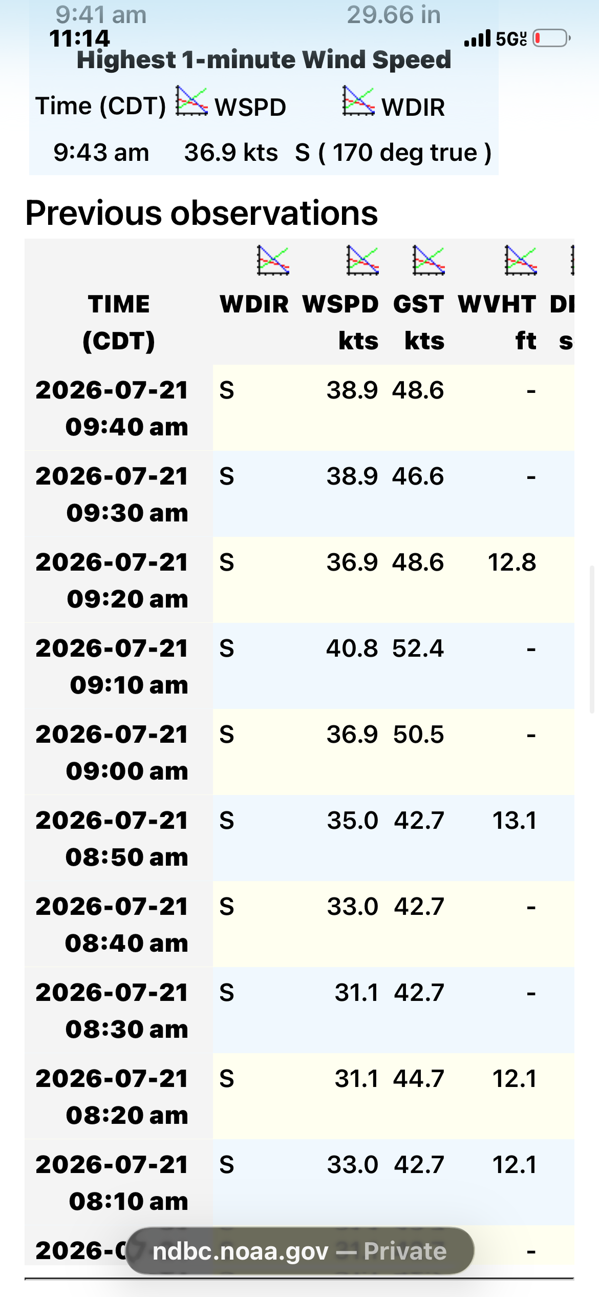
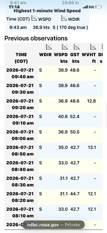
Very solid buoy obs .
-
sun is breaking through now in north central NJ Temp : 85 Dewpoint 72 - solid line of precip approaching for later today from western PA - expect a severe watch to be issued within the next couple of hours for most of the Metro
-
That storm near Carmel, NY absolutely needs a warning.
-
-
This is Frederick’s summer. The current humidity is getting me hyped.
-
Robust LLC for sure but a sheared system with a "naked swirl" on vis. Shear and dry air to the north makes me think Bertha has peaked. Has about 30 or so hours before land interaction so a little window for some additional intensification but I'm thinking not. https://www.meteo.psu.edu/ewall/PSUGOES_MESO2/loop60.html
-
On channel 7 Lee Goldberg will often say that he disagrees with the futurecast. Or he'll do what he did yesterday which was show the HRRR futurecast because he didn't agree with the regular futurecast not showing the break during the afternoon like the HRRR did.
-
Getting sunny here through the high clouds