All Activity
- Past hour
-

Central PA Summer 2026 Discussion/Obs Thread
canderson replied to Voyager's topic in Upstate New York/Pennsylvania
Why can’t every summer day be like the last two? -

Summer 2026 Med/Long Range Discussion
BeastFromTheEast replied to Brian D's topic in Lakes/Ohio Valley
Looks like an opportunity for a 90 coming up in the next week locally. Potentially this Sunday and again sometime next work week. -
 online canadian pharmacy [url=http://northtrustpharm.com/#]NorthTrust Pharm[/url] NorthTrust Pharm
 -
reputable canadian pharmacy: canada discount pharmacy - NorthTrust Pharm
-

2026-2027 Record-breaking El Nino
PhiEaglesfan712 replied to Stormchaserchuck1's topic in Weather Forecasting and Discussion
Now that everyone's convinced that the el nino won't peak as high, watch the 5C peak in February run verify. -
Nice! I got a quick glimpse, it was mostly obscured by trees from my vantage point
-

Augdewst 2026: Summer's Last Stand
forkyfork replied to Prismshine Productions's topic in New England
i want to hear cicadas on thanksgiving -

Augdewst 2026: Summer's Last Stand
WxWatcher007 replied to Prismshine Productions's topic in New England
Yeah so much for my thought of a cooler start to September yesterday -
The warm start to each month has been interesting to say the least. Its been hot spell followed by a lot of rain/storms to cooler finish.
-
The chart I posted shows temperature anomaly, while your chart shows temperature. August will rank a little higher on a temperature basis than it will on an anomaly basis because August is a relatively warm month.
- Today
-

Augdewst 2026: Summer's Last Stand
weatherwiz replied to Prismshine Productions's topic in New England
With how the NPAC is evolving combined with the signals for ridging to focus more across the Southeast or off the coast, we could be setting up for a well above average at least first half of Fall. This doesn't mean we'll get some cool periods, probably even some pretty cool nights, but the overall theme is going to be quite above. -

Augdewst 2026: Summer's Last Stand
Typhoon Tip replied to Prismshine Productions's topic in New England
You forgot the "+9 to +10 will mean we go the other way big time" bargaining -
Picked up two pairs of tuned skis today at the shop!
-
Augdewst 2026: Summer's Last Stand
Typhoon Tip replied to Prismshine Productions's topic in New England
12z operationals appeared to make a coherently warm move en masse on that run, too. -

Augdewst 2026: Summer's Last Stand
dendrite replied to Prismshine Productions's topic in New England

-
https://mexisafepharm.com/# mexican pharmacy near me
-

2026-2027 Record-breaking El Nino
LakePaste25 replied to Stormchaserchuck1's topic in Weather Forecasting and Discussion
I would have 0 complaints if that happened, would be a needed reset of the W pacific warm pool that a few of us have been talking about here for awhile now -

2026-2027 Record-breaking El Nino
csnavywx replied to Stormchaserchuck1's topic in Weather Forecasting and Discussion
The recurring interesting question for me has been how far east the warm pool will make it. Max SSTs are now sitting at 170-140W, which puts it neatly and completely inside the 3.4 region (and only a few degrees off of as far east as it ever got in '97). Further movement towards the east will increasingly put max SSTs inside Nino 3 at the "expense" of 3.4. If it gets to say, 130W or 120W, cooling will enter 3.4 from the *west* and it may end up stalling 3.4 while still spiking Nino 3. TLDR: This event may get so east-based as to break the measurement benchmark and cause it to systematically understate the event. -

Augdewst 2026: Summer's Last Stand
Ginx snewx replied to Prismshine Productions's topic in New England
Up down the month marches on to the inevitable.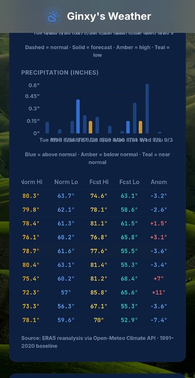
-
Get to it.
-
It's a day of mourning here in East Tennessee.
-
Augdewst 2026: Summer's Last Stand
dendrite replied to Prismshine Productions's topic in New England
+4 for a day isn’t really a big deal. But +4 for a month is pretty torchy. But really it comes down to standard deviations and the +1.5 or +2 SD numbers aren’t exactly at our fingertips. -
Some of those 80s and 90s summers really were endless summers which we dont get anymore nor do we get heat covering the entire country cosst to coast like we did in 1980 and 1988. We always talk about how we dont get coast to coast cold like we did in 1979 but to be fair we dont get coast to coast heat anymore either. Its always heat in one part of the country but not the other now. Also EWR and LGA are most heavily affected by UHI, population density and increased volume of traffic and the resultant pollution from car exhaust. 1980 had the hottest July August combo on record 60 day average over 80 degrees how did both LGA and JFK have far fewer 90 degree days than NYC and EWR? Also it was around this time in the endless summer of 1983 JFK had their latest 100 degree temperature and the last time it happened there in August. One time in July and one time in August there in 1983.
-

E PA/NJ/DE Summer 2026 Obs/Discussion
Mikeymac5306 replied to PhiEaglesfan712's topic in Philadelphia Region
Kinda ironic that Dolly Parton passes and the next named storm is Dolly. Doncha think? -
If this one does survive and takes on a name at the same time Dolly passed, that's gonna be kinda eerie.