All Activity
- Past hour
-
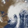
Peconic Bay this morning. This is looking north. IMG_6003.mov
-

Is we back? February discussion thread
Damage In Tolland replied to mahk_webstah's topic in New England
There’s a storm threat this coming weekend into early week. A day or two near 40. Sounds like torch -
Could have been a great winter but having less than 2” and one plowable event during peak snow climo after Jan 25th through what looks like at least the first half February really downgrades this winter. the cold and mostly snow cover from Dec 15-Feb 15 was pretty cool though.
-
-7 was the low here.
-
Man, I’ve lurked and posted my opinions and observations since the Eastern days. Never learned much past looking at the models taking them verbatim and reading the posts of more educated people than me. Never took the time, nor had it, to go any further. In my opinion this “hobby”, if you can call it that, is about the same it’s always been. Mostly “disappointments” in the same way that it’s disappointing when you loose a video game, and dramatic posts. I say all that to say this, I was to fuckin high last night to really grasp what was going on with Greyhat lol. It has been entertaining to catch up on it though. My take, alot of you guys take this shit and yourselves to seriously. We are just some ants on a molten ball of nickel covered in water and dirt.
-
So is that it? Are we done with the arctic air for the winter?
-
When it gets back into the mid-forties on Tuesday it's gonna feel like midsummer. Might wear shorts and a T-shirt.
-

Winter Storm Threat *Technical* Discussion. No Op Run PBP or Snow maps
Weather Will replied to CAPE's topic in Mid Atlantic
I do appreciate that you are posting a lot of your analysis in both threads. Maybe that is an approach that everyone could take. -
Looks like the two disagreement are ones that can’t accept.
-
Nope not dead. But we’re turning the corner and really nothing on the horizon. Hopefully after we warm up we can finally get out of this stein pattern and get storms.
-

Is we back? February discussion thread
VivaManchVegas replied to mahk_webstah's topic in New England
Better roll out the hose for the back up sump pump. Its a price worth paying for a step closer to spring. Yesterday was pictured below. Now I wait for the cold plunge back into NH at RSW.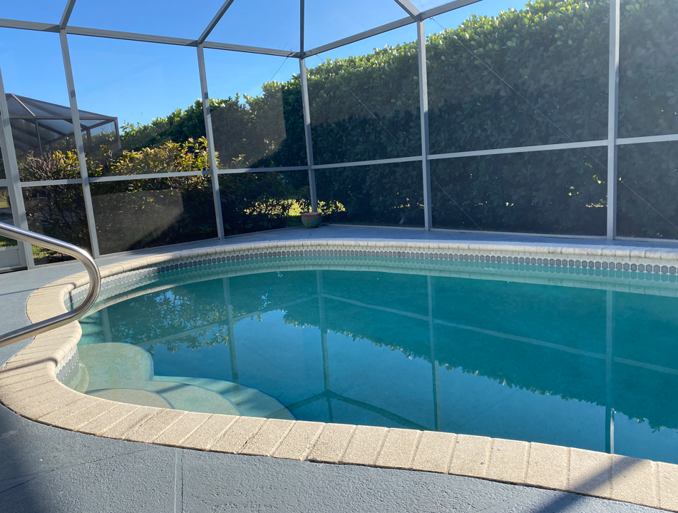
-
Yes you should. Stick to BK whoppers, Hessian button stitching, procuring 2-ply toilet paper for Ft. Eustis, and Carshield extended warranty for the Miata
-

Winter 2025-26 Short Range Discussion
Stebo replied to SchaumburgStormer's topic in Lakes/Ohio Valley
No we don't need to Balkanize this place anymore than it already is. -

Winter Storm Threat *Technical* Discussion. No Op Run PBP or Snow maps
psuhoffman replied to CAPE's topic in Mid Atlantic
I don’t think that’s the intent. CAPE can correct me if I’m wrong but genuine comments and questions are ok. But this thread is a place to actually analyze without 500 clown snow maps and bickering. This way those that want that kind of more “fun” relaxed but storm related banter have that thread and here we can do deeper analysis without wading through the BS. It’s a way to have both. -
Winter 2025-26 Short Range Discussion
Stebo replied to SchaumburgStormer's topic in Lakes/Ohio Valley
What? -

E PA/NJ/DE Winter 2025-26 Obs/Discussion
Hurricane Agnes replied to LVblizzard's topic in Philadelphia Region
I bottomed out at 4 (4.3) and it's currently a sunny and breezy 8 with dp -4. -

Central PA Winter 25/26 Discussion and Obs
Blizzard of 93 replied to MAG5035's topic in Upstate New York/Pennsylvania
MDT added .3 of snow to the total for the Friday pm event. They really seem to be making an effort to get the snow total right this season. -
Central PA Winter 25/26 Discussion and Obs
Blizzard of 93 replied to MAG5035's topic in Upstate New York/Pennsylvania
I had a few wind gusts even until early evening that shook the house & it sounded like a freight train was moving through the neighborhood. -
 WPC had quite the wetter outlook - I am certain it was based on earlier model runs. Just sharing.
 -
There will be a few days in the 50s between feb 16-21 lock it in.
-
heh.. the back may be broken? Either way, winter isn't dead, however. The only change in guidance/means/blends that I see is that the intense cold is alleviating. It kinda has to, anyway. We're leaving the solar min today. The variance is not noticeable just standing there. It's a virtual boundary. However, circa the 20th and beyond, anomalies have to get more and more extreme to offset that factor. Coupling this with an abeyance of direct N/stream .. academic. In so far as what this means for the next 10 or so day... it looks like to me that the direct N/stream dominating flow type is backing off, that's all. Actually beginning on the heels of this present annoyance. However, not sure that marks the end as much as the emotion is marketing the end. Look at what is actually on the guidance, we're just changing from N/stream dominating cold, to oscillatory between seasonally cool and seasonally warm. In other words, typical for February. Normal February is still winter. Should the warm side of those oscillations win by some small margin...meh. I expect that much. That's more like manifesting the 1990-2020 climatology + the ongoing correction term, a latter aspect that is always in play really. Different discussion. this can all change .. but in so far as what is physically presented (and has been recently) in the guidance suites, not sure I see winter as being hugely hobbled just yet. The clock is certainly ticking...
-

Friday February 6 FROPA / WINDEX small event
ORH_wxman replied to HoarfrostHubb's topic in New England
Yeah unless they change the F6 data then I’d go 5.4. Id prob hedge higher anyway since they had 4.2” at 1pm and got smoked for a while. I thought they’d finish with 6”+. -
Yeah there appears to be a step up over the next 10-14 days and climo is starting to climb too. There’s a good chance we don’t see colder than this the rest of the season…especially WNE. Climo is approaching 40° at the big SNE sites it won’t have to be much AN to pop some 40s. But don’t bite me…winter isn’t leaving yet.
-
The GFS has outperformed the Euro on temps for the globals, and the NAM has been much better than the HRRR. One thing that I noticed that was not surprising was that the AI models did not handle the wind gusts well. They were too muted, as is to be expected with more extreme events.
-
Flurries here this morning.