All Activity
- Past hour
-

December 2025 regional war/obs/disco thread
moneypitmike replied to Torch Tiger's topic in New England
Because it's Christmas. -

December 2025 Short/Medium Range Forecast Thread
Carvers Gap replied to John1122's topic in Tennessee Valley
Currently snow is falling in west Kingsport. A little band has been set up. Just barely missed today. -

2025-2026 ENSO
PhiEaglesfan712 replied to 40/70 Benchmark's topic in Weather Forecasting and Discussion
The big difference between the 1989 and 2005 analogs is that we got the flip back colder in February 2006. We even got a snowstorm on the 11th-12th. I can see this one happening again (you could even argue that we already did in 20-21). With 1989, there was no going back to winter once the calendar flipped to 1990. Spring pretty much began in January that year. 89-90 is a once-in-a-lifetime analog that will never happen again. It should be retired. -

December 2025 regional war/obs/disco thread
Snowcrazed71 replied to Torch Tiger's topic in New England
Please, runnaway posting this map for the 23rd of December is like anyone else posting a snow map for 2 weeks from now. Pay no attention -
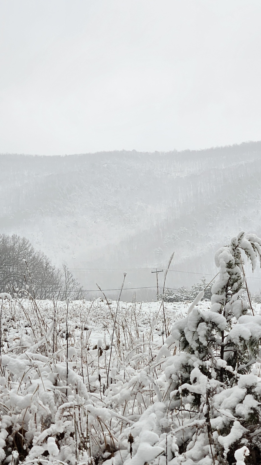
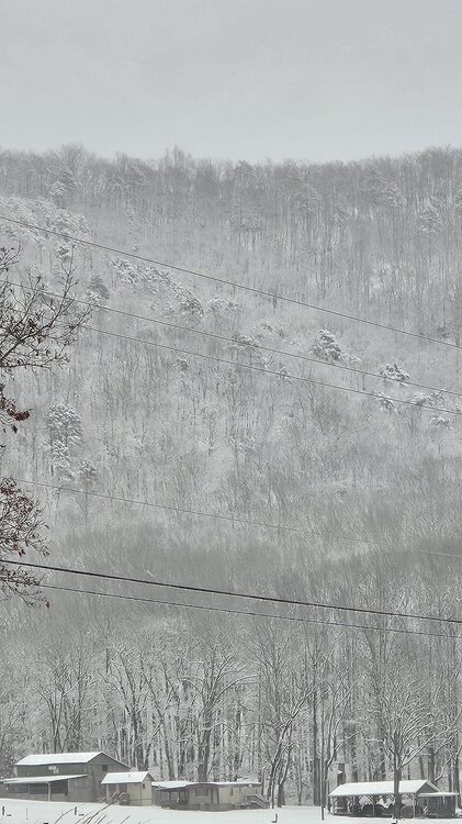
Some gorgeous scenes driving home as there were rain(snow)bows, and the blue ridge revealing snow and ice cover
-
Not unless we get streamers from Falls Lake LOL. The GFS definitely failed this one
-
December 2025 Short/Medium Range Forecast Thread
Carvers Gap replied to John1122's topic in Tennessee Valley
I think the bigger warmup comes between Dec 22 and mid Jan…that could be wrong, but that is what it appears to me. Lots of precip in the MC at that time. -
Somewhere between 3-4" around here. Been windy so measurements vary. Cold too at 27 degrees. December to remember for my yard.
-

The Monday wintry event potential (12/8/25)
NorthHillsWx replied to GaWx's topic in Southeastern States
Per trail cams it is accumulating in Louisburg finally. Cousin reports in Richmond they have 3” with plenty more to come. Not a bust there like I thought -
All the reporting stations inside that circle are reporting either snow or light snow with .5 to 2 mile visibility, so THAT is reaching the ground. The question becomes can it cross over the mountains AND survive the drying atmosphere on this side of the mountains. I guess we shall find out over the next couple of hours. I can't remember which model showed it, but the precip is starting to 'split' like shown on that model yesterday, kudos.
-
The heavier returns west of 95 should sharpen up as they come thru this evening
-
The Monday wintry event potential (12/8/25)
NorthHillsWx replied to GaWx's topic in Southeastern States
Agreed- that map is suspect. We have only gotten 0.06” for the event that’s telling me we have more than that to go when the back edge already moved out. Just random flurries now. No clue where that would come from -
It feels and looks like snows coming… but it ain’t Happy for you southern forum folks! .
-
There's a reason basically no one lives there. And also why we have things like, you know, heat. People do live in Fairbanks which can wind up with entire weeks below -40 day and night. But it's not windy, so I guess it doesn't count.
-
Maue loves mocking the climate stuff.
-

December 2025 regional war/obs/disco thread
Damage In Tolland replied to Torch Tiger's topic in New England
We’ve stopped them all fall and winter. What’s to say that won’t.keep happening? -

The Monday wintry event potential (12/8/25)
WinstonSalemArlington replied to GaWx's topic in Southeastern States
-
Still waiting for your very warm post-Thanksgiving pattern to start showing up..
-
Kinda getting used to 30s. Guess it has to end sometime
-
Feels like Deep Winter (TM) in Silver Spring. Heavy overcast, 30 degrees, 7 degree dew point, sometimes a bit of wind. Cold!
-
2.5 very likely here as radar still has a way to go
-
Raleigh is going to zero out on accumulation unless there is an additional burst tonight.
-
An additional 0.8" of snow accumulated since my last measurement of 1" at 1pm for a total of 1.8". It's still snowing lightly with occasional moderate bursts, so I might make it to 2" before all is said and done. 31.3°/31.0°
-
Wakefield has 5 inches already. Great event for many on the south side.
-
This sounds like my life right now. Add in working from home and it's chaos.