All Activity
- Past hour
-

Occasional Thoughts on Climate Change
Typhoon Tip replied to donsutherland1's topic in Climate Change
Ironically, there’s an expression for that ”cop out” -
Well, the wind machine is back on here. Been breezy (15-25 mph at times) from W most of afternoon, soon as the sun set it hit another gear. Just had a 38 mph gust 5 minutes ago. Currently W at 24 gusting to 35.
-
Someone can correct me if I’m wrong, but the end of December 2017 into January 2018 was one of the coldest stretches I can remember in recent history. I recall there was like a 10 day stretch where it didn’t get above freezing in Baltimore. Many nights in the single digits, many days that struggled to get out of the low 20s.
-
Kind of limited data. History does say the average PDO cycle is just about as long as we've been in since 1998, but we seem to be at the most extreme part of the cycle now and common sense says that's probably another 10-15 years to neutralize. I know the NOAA has been doing subsurface passes in the PDO area, and there is warmer water down to -200m now more than ever before, which could be 5-10 years to change phases cleanly. There are sometimes 2-3 year phases blips in a long term opposite phase though.
-
Wut. Man it's too hard to get a Nino it takes forever! Or does a -PDO regime naturally produce more ninas?
-
Composting oysters?
-
Yeah but after 5/6 La Nina years, we have a tendency to flip for the next 3-5 years, and that happens immediately after 4/6 consecutive ENSO events or greater.. I'd give it 2/3 chances for El Nino next year, even if it's weak..
-
Kp isn’t great, but we’re decently south now. Just need to clear out.
-

Add your Snowfall predictions 25/26 winter
Go Kart Mozart replied to Ginx snewx's topic in New England
Trumbull CT - 400" -
The wind is back
-
I'll second that. He was fun to watch and loved the weather.
-
I’m not sold on El Niño either. Historically year 2 after a strong/super mini goes cold ENSO, year 3 is roughly 50/50 and its year 4 that tilts warm ENSO.
-

November 2025 general discussions and probable topic derailings ...
WinterWolf replied to Typhoon Tip's topic in New England
I never thought he was a particularly good MET(and maybe he was, and it was just me?), and didn’t watch WTNH much, but when I did(to compare when big storms were coming), I did like his enthusiasm, and his personality. -
There was a few small holes in the cloud cover here, but it seems to have stabilized at a point it couldn't break through the light pollution.
-
BWI: 11.2” DCA: 9.8” IAD: 13.5” RIC: 5.8” (Tiebreaker) SBY: 8.6”
-
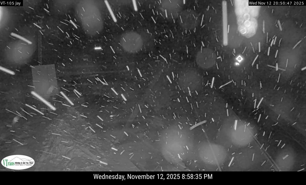
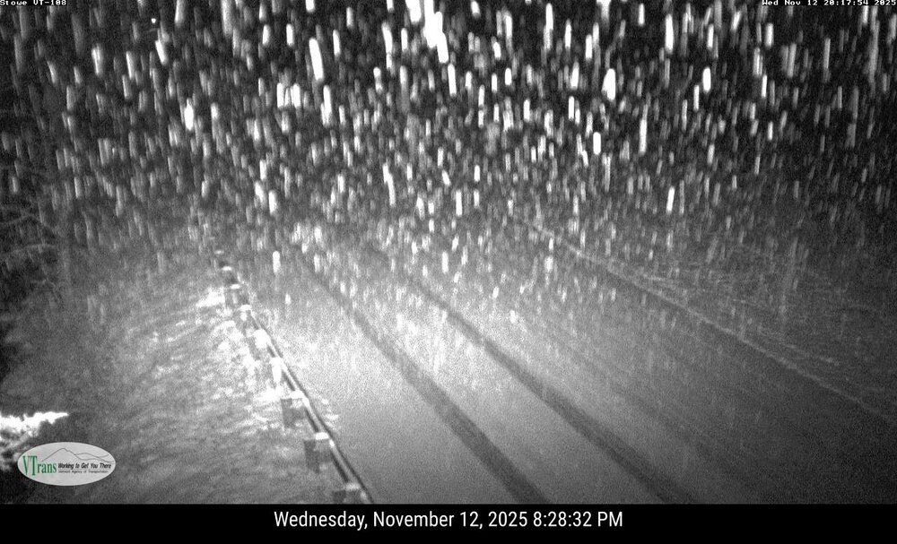
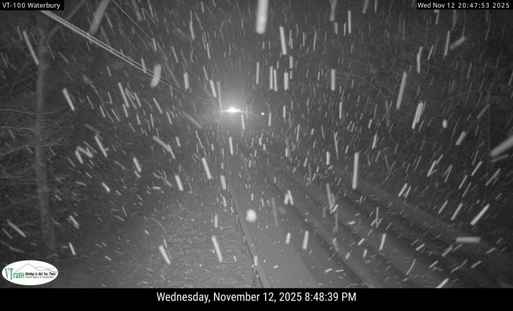
Snowy evening. Radar looks like J.Spin and Waterbury has been under the best banding so far. RT 108 cam up by the base of Stowe. RT 100 on the Waterbury/Stowe line. RT 105 in Jay.

-

Best Mid-Atlantic winter storm of the last 50 years
psuhoffman replied to PrinceFrederickWx's topic in Mid Atlantic
For the whole mid Atlantic 1996 For Manchester MD Feb 9-10 2010 We started with 20” otg, then this crazy convective band set up along the thermal boundary the evening of the 9th. We got 12” in 4 hours and had about 14” new snow that evening before the lull then the CCB associated snowfall developed right over us and snowed all day on the 10th. True blizzard conditions, wind, freezing cold, another 16” or so fell. We ended up with about 30” which was way over any expectation going in. Had close to 50” otg when it was over. -

November 2025 general discussions and probable topic derailings ...
powderfreak replied to Typhoon Tip's topic in New England
I did genuinely wonder about the past 4-6 runs of the Euro with that bullseye of QPF. I haven't seen that before. Usually it looks like the GFS with the more spread out north-south band. Which BTW, I don't know what they did the GFS but this model has gone grossly overboard with upslope QPF so far this fall. Like this is obscene and not happening given the set-up. I'm not sure what happened but the GFS just goes way overboard now.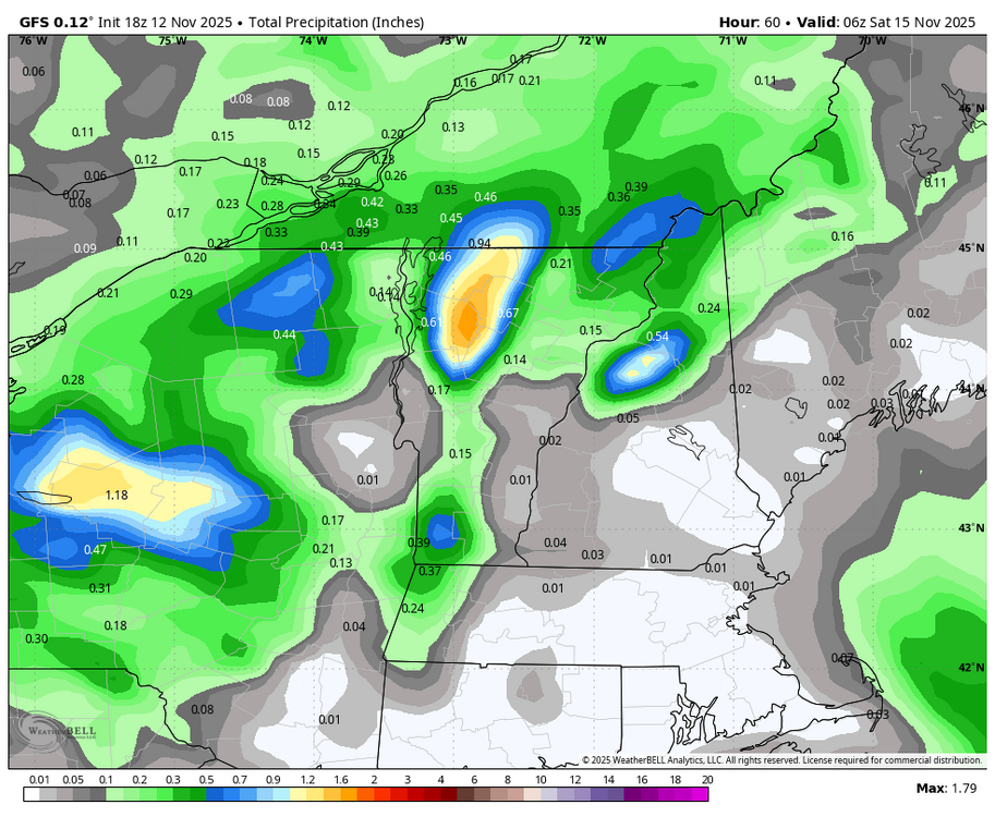
-
Definitely getting better but still cloudy here.
-
The Sierra storm tomorrow is shaping up to be quite a rainer all the way up to 9,200 feet. Very warm conditions as La Nina continues. Possibly 3-4 inches of plain rain at resort level will wash away lots of soil and rocks. Only the highest peaks at 11,000 feet will see 1-2 feet of wet snow. Not that this will help the Saturday opening at Mammoth in 2-3 days. Skiers will be mudding it out all the way down the slopes. Palisades will be all torrential rain too, whipped by 90kt winds at the crests. There are indications on the modeling that this movable feast will slow down and dump ridiculous amounts of rain into the weekend. We are going to see many forlorn skiers show up at Mammoth for one of the rainiest openings in history. They might not even make it up there for floods, mudslides and washed out roads. This is going to be a monumental washout. The only place there will not be an all-out CARNAGE this winter will be the Great Lakes where downwind LES will bury many alive in meters of windblown snow.
-
-
Kp dropped below 5 so there is that lol. I think we are cooked.
-
Yes. But that can’t continue forever. Look at all the past similar extremely negative PDO periods. There longest such recorded periods and closest to this one were in the 1950s and 1970s. But those didn’t extend past 6 or 7 years. The extreme -PDO. So we have to be coming to the end of this current cycle soon. There is absolutely no precedent for this continuing much longer.
-
48 today
-
Just multiply those numbers by -1 and voila!