All Activity
- Past hour
-
We have an air quality meter here at Coppin on our building that's on AirNow. Current AQI is 262
-

Pittsburgh PA Summer 2026 Thread
Gordo74 replied to TheClimateChanger's topic in Upstate New York/Pennsylvania
Anyone have good smoke models/maps to show over the next few days? -
I've seen / been in worse when I was in North Dakota directly down range... but not much worse. This is crazy for this area.
-
Wondering if the Morgan Wallen concert at M&T Bank Stadium will be affected. AQI is supposed to be horrid during that time.
-
Cancelled practice on deck. Seems to be a little bit better now as the ABL should keep rising.
-
looking forward to the soot rain tomorrow morning. i love climate change
-
Rarely is. Probably a line of storms but who knows when. Evening I guess
-
 This coming Monday marks 30 years since MWN's windiest met summer day - the 24-hour average was 99 mph, IIRC. Friends were getting married at our (then) church in South Gardiner, with an outdoor reception under a large tent, and the wind would work the 4-foot "pins" upward such that we had to monitor them while carrying sledge hammers.
 -
Not to toss a wet blanket on this - I love this look, and while it points to a relatively stormy winter for is - I think the ridges will verify stronger and troughs weaker. The more important interpretation of this map is the placement of the troughs and ridges. The trough placement for us is perfect (TN), western ridge axis over Idaho. The E Canada ridge may verify in the same place, but would be more extreme - double digit warm anomalies with blocking that may give us some interesting storm tracks. Please, please just have it cold enough for us.
-
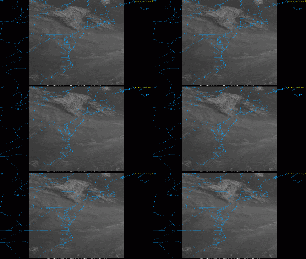
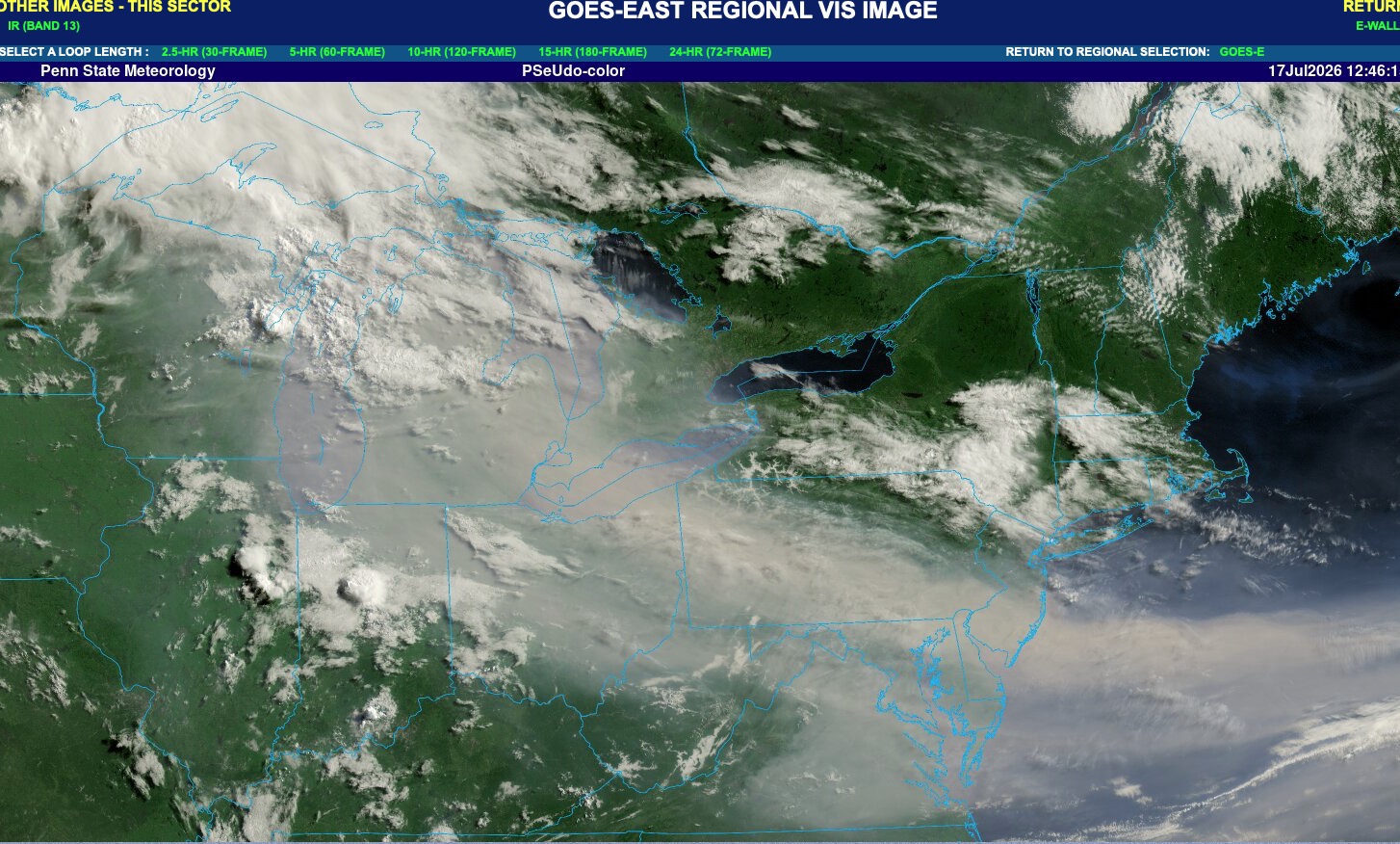
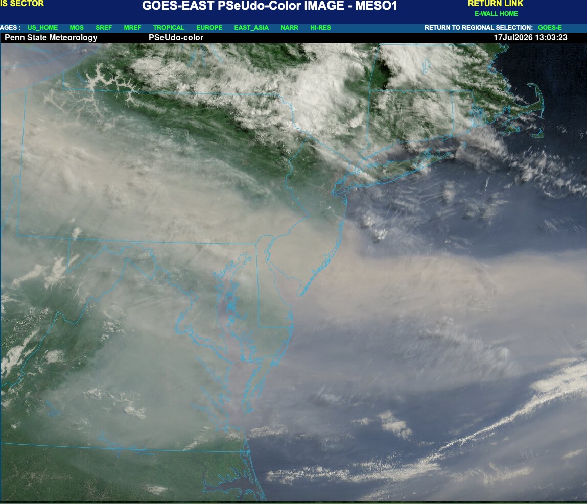
 Heh... looks pretty clear via the higher res vis images I looped that the convection down there fired off in the region below the axis of denser smoke. In fact, probably the training ran along the temperature gradient between N NJ where it was denser, vs where more sun/sfc heating was realized.
 -
Blessed to have traded AQI for Dews. I’ll take an AQI of 56 with a 70 DP over what we endured yesterday.
-
 38 at SLK and 48.8 at WXW2.
 -
probably just an appetizer for the hellworld that awaits next year after a super el nino winter ravages canada
-
Genny shut down 8:40 PM, 3rd longest run since it was installed in 2020, though 94 hours lower than Dec 2023. My wife had to switch lanes a couple times on Rt 2 coming home from Farmington, but no detours, just dodging tree tops. Any of those tall pines around Flying Pond get blown down? Couple years back, Maine Cabin Masters had to do a full rebuild on a camp near Flying after several big ones smashed it on Dec 18, 2023.
-
Some models have very little rain tomorrow. Doesn't look like an all day washout
-
Us in S.W V.A looking at that like

-
Conditions up here have improved quite a bit since yesterday. AQI in Mqt is 176 with rain showers moving in. Probably not out of the woods with the smoke tho.
-
 38° at SLK
 -

Central PA Summer 2026 Discussion/Obs Thread
Mount Joy Snowman replied to Voyager's topic in Upstate New York/Pennsylvania
Low of 67 with thick smoke, which thankfully looks to clear out pretty quickly tomorrow afternoon. Hopefully we get some nice storms tomorrow and then Sunday looks beautiful. Harrisburg tied its max min record of 77 yesterday. National high of 121 at Stovepipe Wells, CA and low of 36 at Mt. Washington, NH. Carry on. -
The pool we belong to closed for the day. Dammit. I was gonna swim and then inhale water to flush my lungs out. We are a bunch of wimps
-
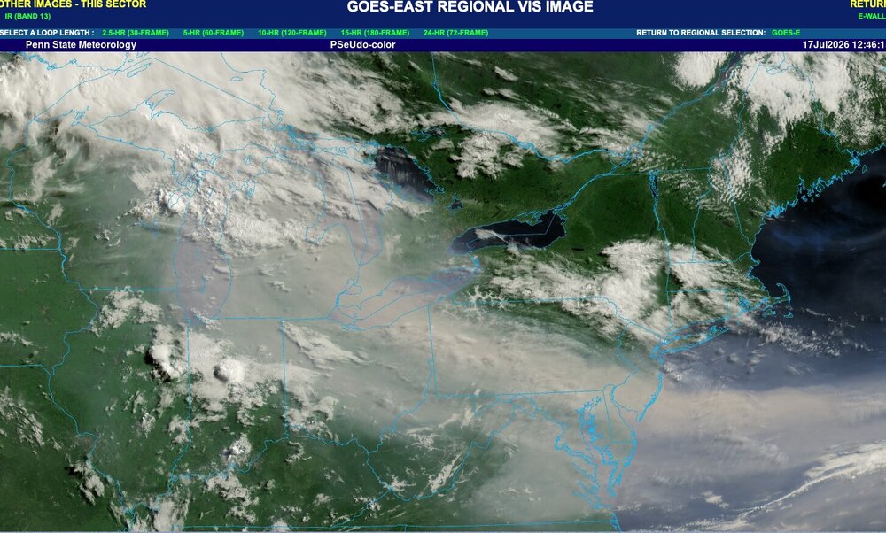
Yeah. Main smoke plume is shifting southward today. Actually fairly clear up here in NWNJ right now with only some haze to the south and clear blue skies to the NW.
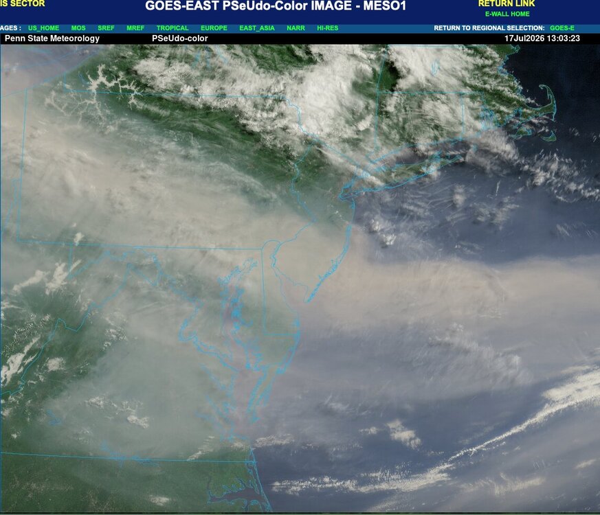
-
They just cancelled
-

2026-2027 Super El Nino
GaWx replied to Stormchaserchuck1's topic in Weather Forecasting and Discussion
Sure enough, Darwin on July 16th exceeded 1018 mb for only the 2nd day since daily records started in 1991, a sign of El Niño. It reached 1018.25, which trailed only the 1018.35 of 21 years ago! https://www.longpaddock.qld.gov.au/soi/ -
High yesterday was 96. Supposed to be upper 90's again today. I am so over this heat. I can't remember a time when we had so many upper 90's for highs. Took our pup out for a walk this morning and it is already miserable out there. At 9 am it is 83/80, feels like 95. So miserable and I need to mow my yard.