All Activity
- Past hour
-
.thumb.jpg.6a4895b2a43f87359e4e7d04a6fa0d14.jpg)
Central PA Summer 2026 Discussion/Obs Thread
Yardstickgozinya replied to Voyager's topic in Upstate New York/Pennsylvania
I guess it was hale, but I just drove through what I would call a torrential sleet downpour. -
First it was mid/late summer, then it was September, now it’s mid-late fall. What’s with the can kicking?
-
In last 20 years or so, NHC often skips the TD stage completely in the Atlantic. I am not sure why. However in the EPAC, they have no problem starting systems as TDs. It's not like TCs work any different between these 2 basins, and 30 kt winds w/ a defined closed sfc circulation and deep convection doesn't care which basin it is in. It is still the same thing! Skipping the TD stage is a disservice IMHO since declaring a system that is indeed a TD gives a full fcst product suite and raises awareness sooner. Is that not of high value? Models have become very good for TC genesis now, and we have ASCAT and SAR winds to see better than ever what is actually there, so no reason to take advantage of this skill?
-

Central PA Summer 2026 Discussion/Obs Thread
anotherman replied to Voyager's topic in Upstate New York/Pennsylvania
Nothing in York. -
Going to try a fishing trip to Lake America soon. Not sure if they’ll be a svr threat but my fishing tent could prob handle an inch of hail or so. Going to be amazing either way
-

Central PA Summer 2026 Discussion/Obs Thread
Superstorm replied to Voyager's topic in Upstate New York/Pennsylvania
Only 0.22” in Lanco. . -
Central PA Summer 2026 Discussion/Obs Thread
Yardstickgozinya replied to Voyager's topic in Upstate New York/Pennsylvania
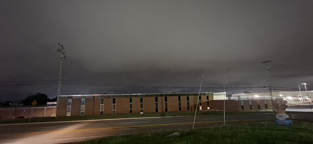
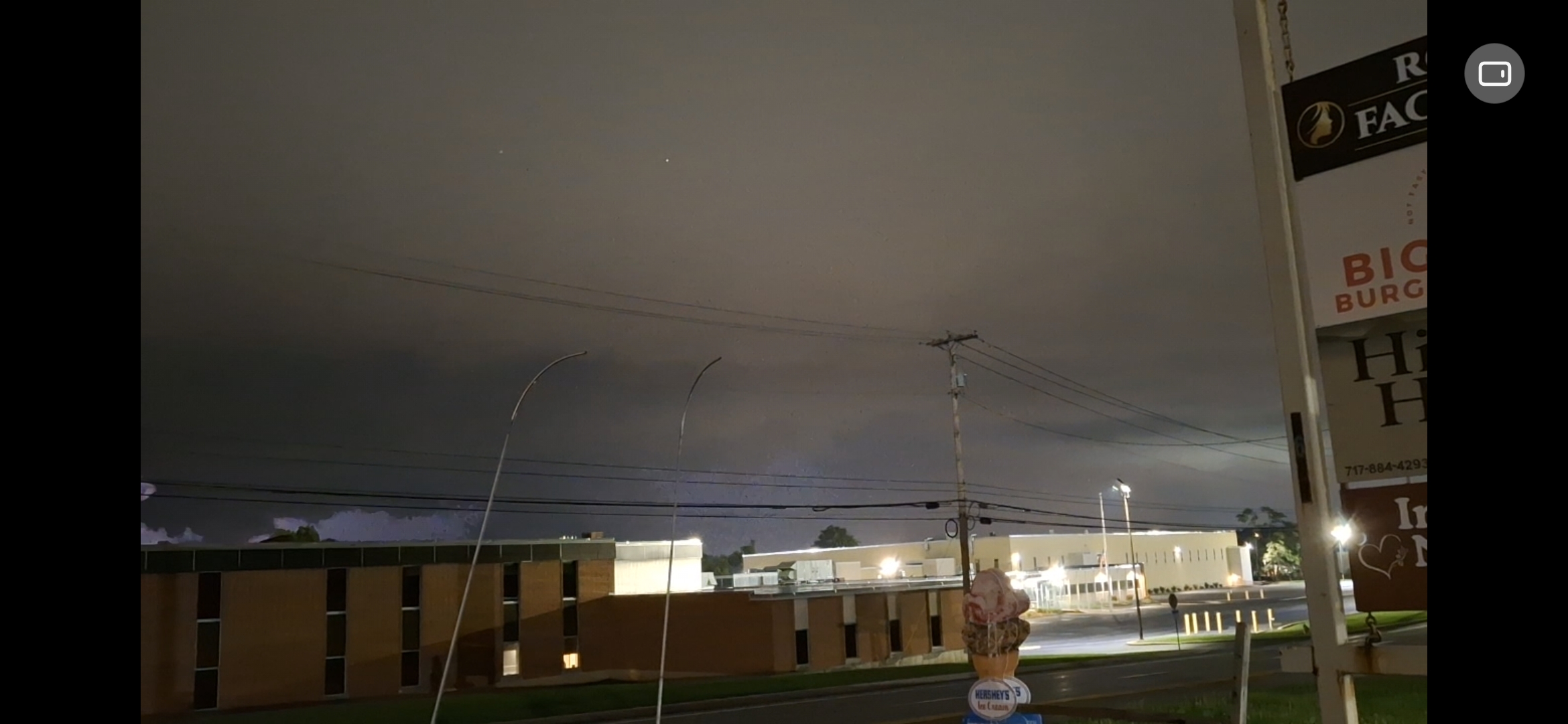
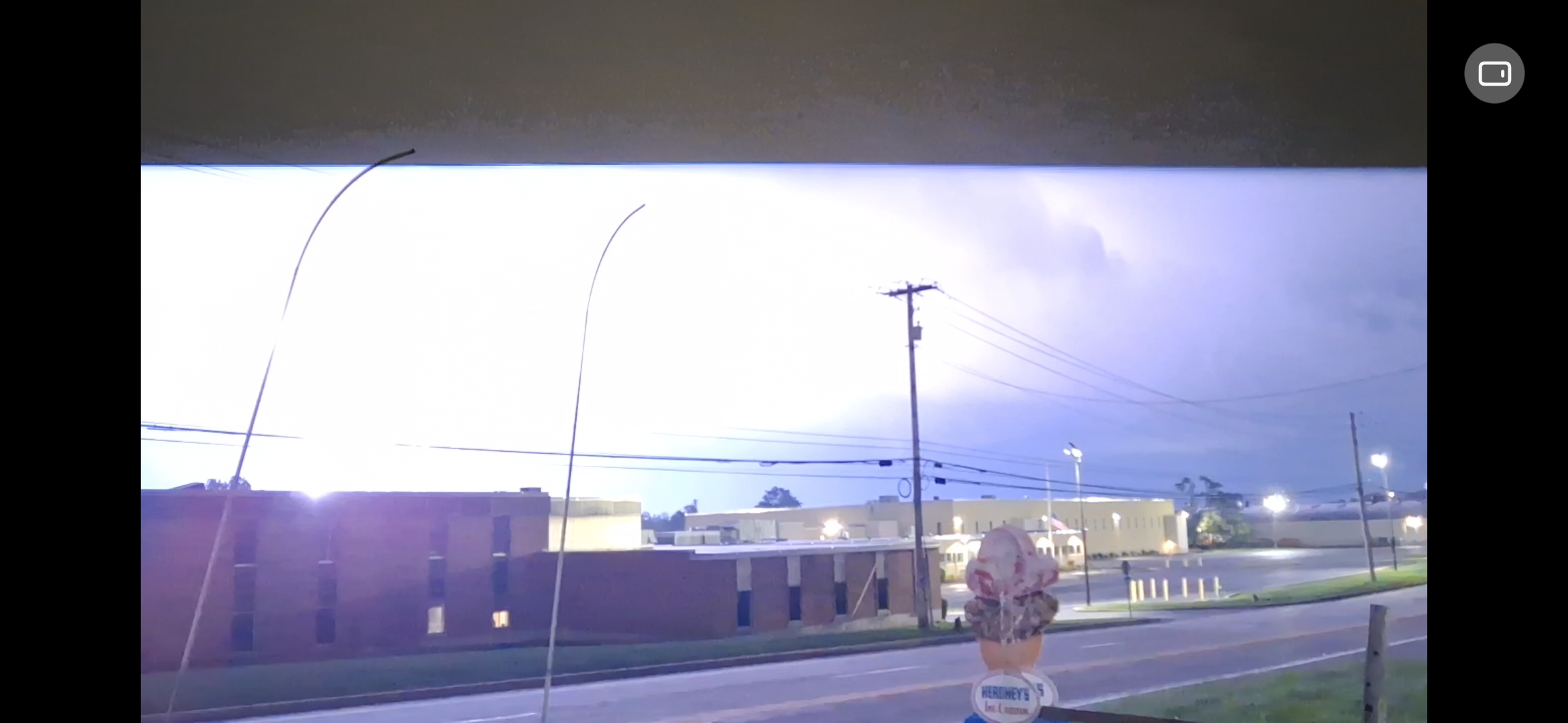
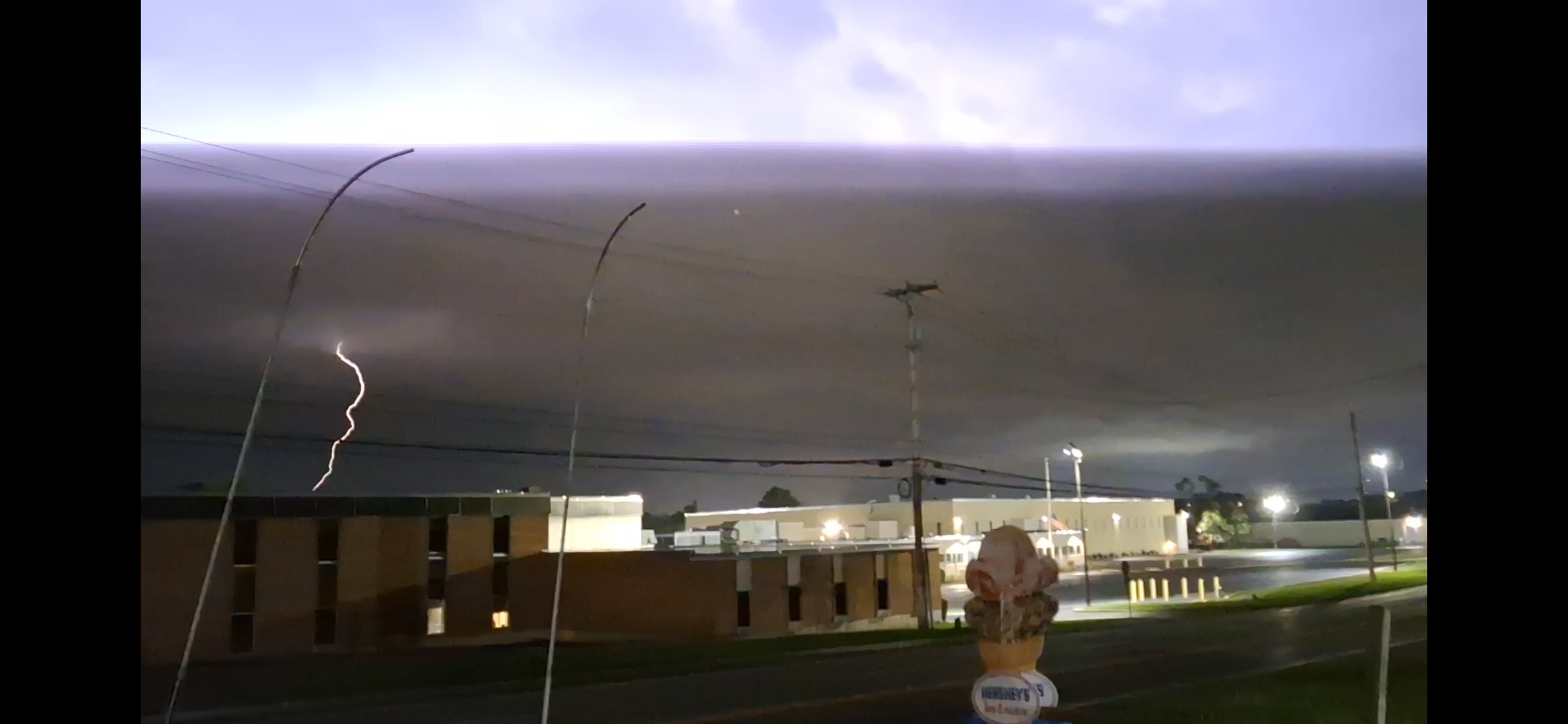
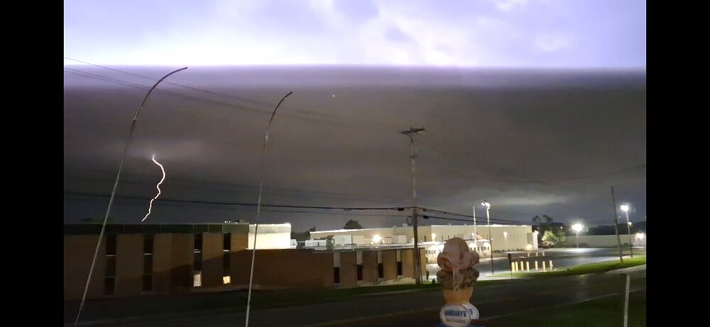
Love nocturnal storms. But there's some beautiful structure in these clouds that only the daylight could reveal.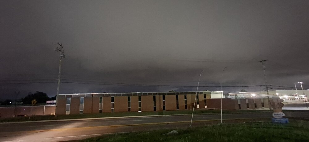
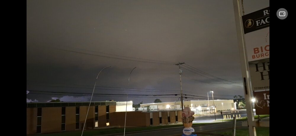
-
Knowing these shortcomings is of high value. Some ppl are riding high on AI modeling as the best thing since sliced bread and they are a panacea.
-
Dumping rain for the past hour in Great Falls.
-
Central PA Summer 2026 Discussion/Obs Thread
Yardstickgozinya replied to Voyager's topic in Upstate New York/Pennsylvania
Best nighttime lightning display of the year . -
Today's Highs: TEB: 84 ACY: 84 PHL: 83 BLM: 81 ISP: 81 NYC: 81 EWR: 80 TTN: 80 LGA: 79 JFK: 79 New Brnswck: 78
-
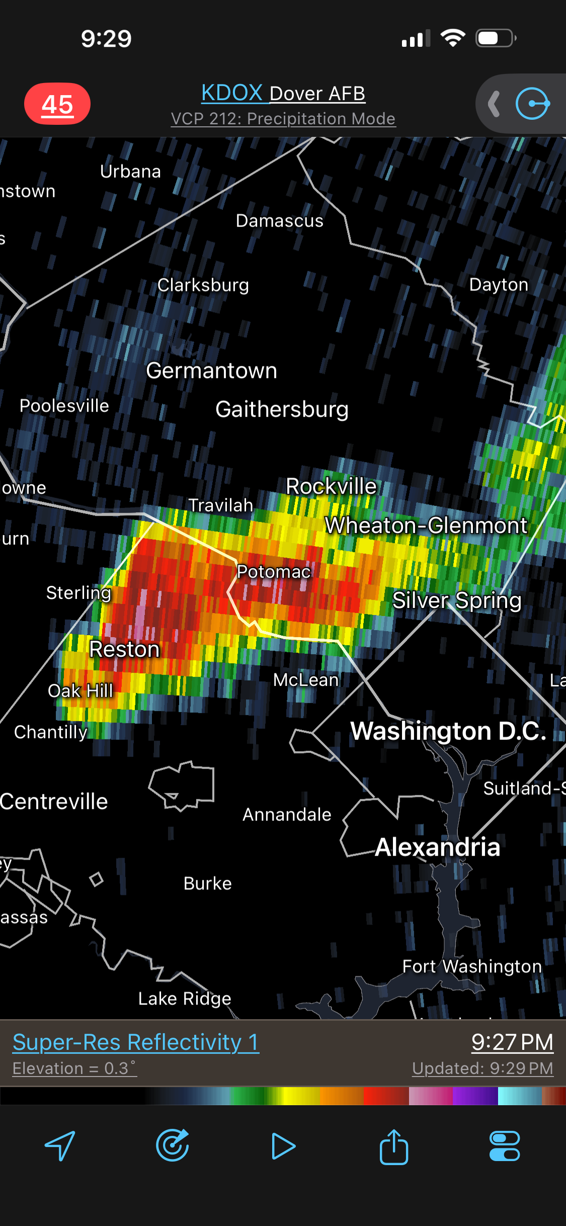
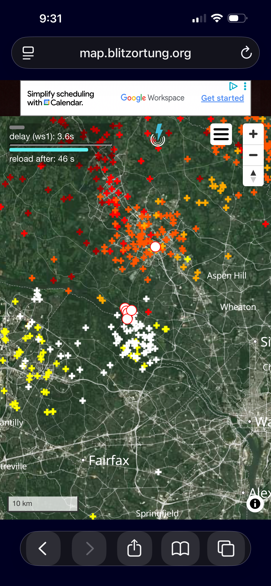
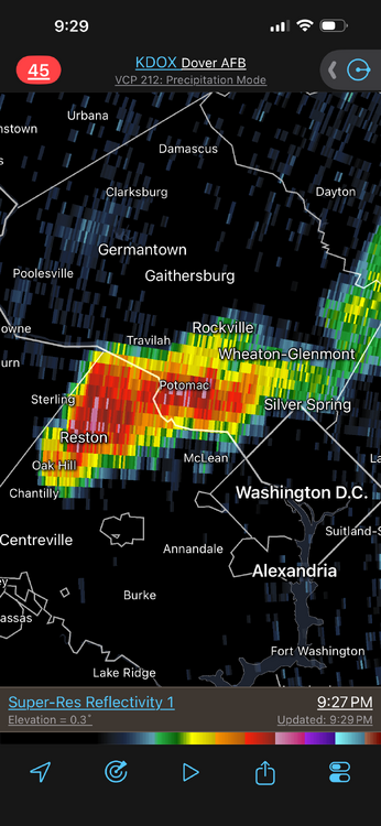
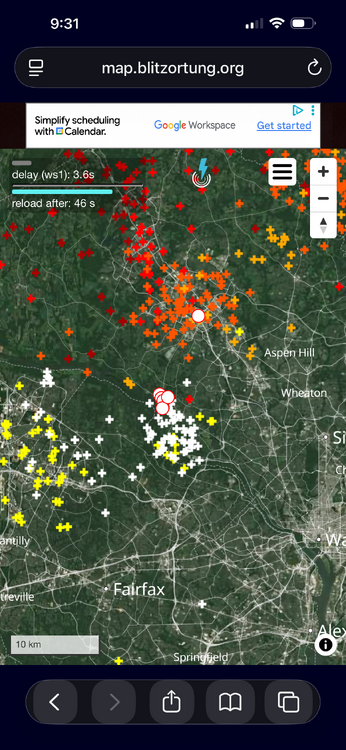
Some "backup" storms W to E Reston area and actually lifting ENE a bit. DOX radar shows hail cores aloft. CGs increasing last 20 min.
-

E PA/NJ/DE Summer 2026 Obs/Discussion
Kevin Reilly replied to PhiEaglesfan712's topic in Philadelphia Region
Total rainfall in Media, Delaware County 1.08". Let's see if we get anything else tonight. Not sure looks like everything is north getting belted north and west. -

Central PA Summer 2026 Discussion/Obs Thread
Blizzard of 93 replied to Voyager's topic in Upstate New York/Pennsylvania
This storm just won’t quit, just as soon as it looks to be moving away, it has been back building right in my vicinity. Heavy rain with thunder & lightning continue… Rain total 2.46 & counting, all in the last 1 hour & 20 minutes. -

Augdewst 2026: Summer's Last Stand
TauntonBlizzard2013 replied to Prismshine Productions's topic in New England
Owning the libs! While the world points and laughs at us. -

E PA/NJ/DE Summer 2026 Obs/Discussion
The Iceman replied to PhiEaglesfan712's topic in Philadelphia Region
3.25” storm total assuming no more. Round 2 this evening was pretty intense lots of street flooding around the area during the height of it. 11.60” in August now -
 Here is a good post about it: https://www.medguideusa.com/guide/zithromax/ - How to take Zithromax. Highly recommended!
 -

Central PA Summer 2026 Discussion/Obs Thread
Itstrainingtime replied to Voyager's topic in Upstate New York/Pennsylvania
Not a single drop here. At least yet. -
83/48, enjoying the dry heat. Should have prime viewing for the lunar eclipse tonight.
-

Central PA Summer 2026 Discussion/Obs Thread
canderson replied to Voyager's topic in Upstate New York/Pennsylvania
Marble size hail over in Dauphin - friend took a pic. Pretty epic missed in the city today. I do have .06” now though! -
May and August have o-k N Pacific correlations. They were both opposite this year. 3 months US averaged below average temps for El Nino warm season. All 3 months were above average. It's not the strongest, but there are pattern effects that aren't happening since the El Nino developed in April. I agree that it's 3-4x more relevant starting in like Oct-Nov.
-
Central PA Summer 2026 Discussion/Obs Thread
Yardstickgozinya replied to Voyager's topic in Upstate New York/Pennsylvania
Chilling at Flavor hut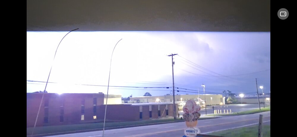
- Today
-
The effects are more in the southern hemisphere now. After mid-fall or so, it’ll switch over to the northern hemisphere and thats when we should start seeing some typical nino characteristics like a STJ. Aug and early sept are almost irrelevant, except for the tropics.
-
This cell has been inching along, but this has been the most thunder and lightning of any storm this year I think eta…damn thing fell apart in the last 3 miles before reaching me
-
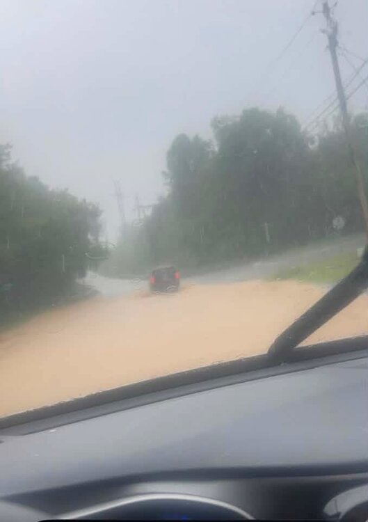
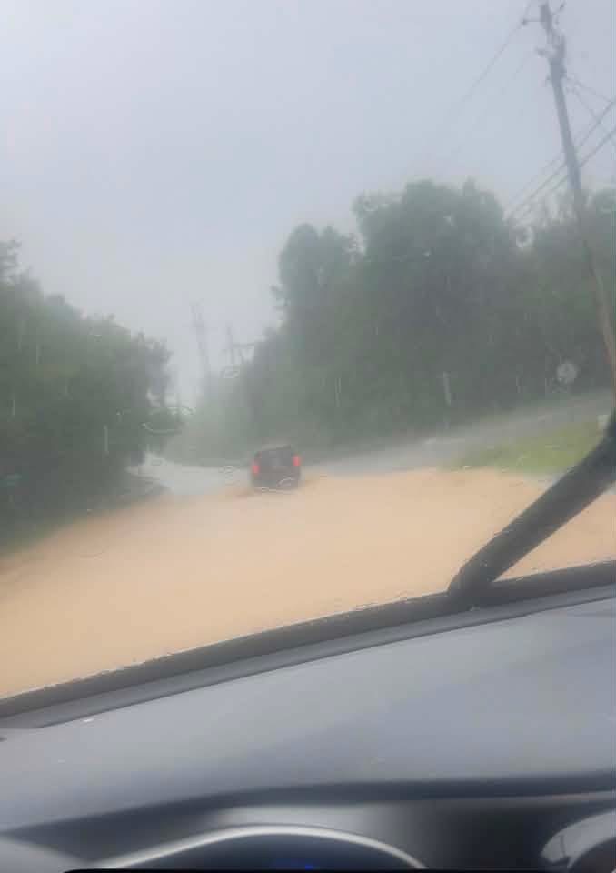
this is Golf Course Rd at the railroad tracks, just before the old Stone Bridge—i was there just 15 minutes before the storm hit: