Castaway
-
Posts
413 -
Joined
-
Last visited
About Castaway

-
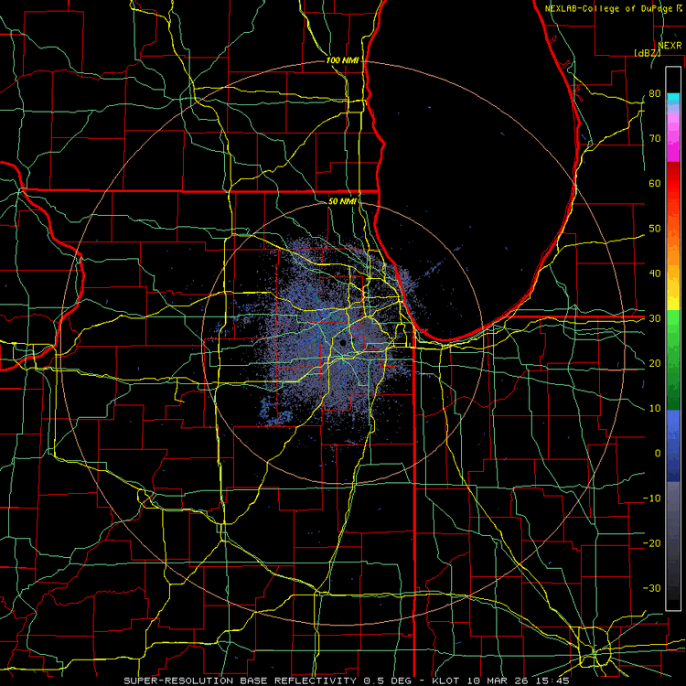
Everything is training just north of me. Looks like a barrage. Nonstop lighting. Barely a drop here. Best atmosphere to chill outside or take a walk
-
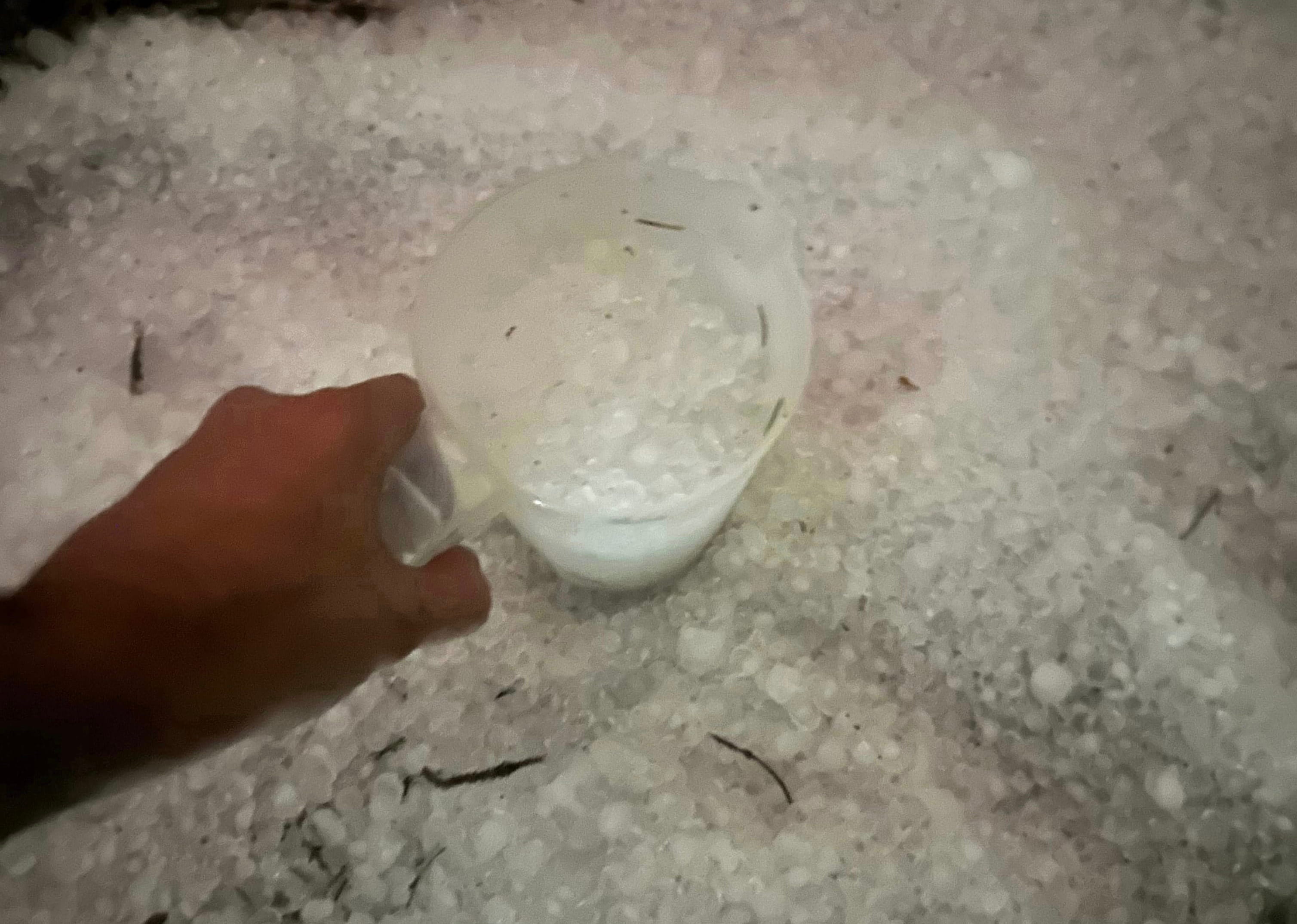
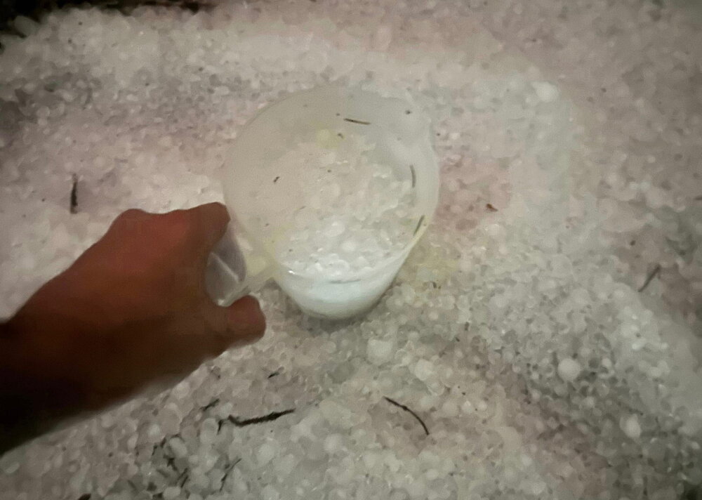
Same here by Oak Brook. This was about 20 mins later also. Best hail so far this year. Light show was top notch. Been a while a storm like this hit in March imby. Definitely one of the best ones In awhile. Not sure another one will hit like this with the hail but if anything tops this coming up this summer it would have to be a totg or top tier derecho etc
-
Has anyone seen my pit boss smoker cover?
-
Best one I’ve seen around the area in a while
-
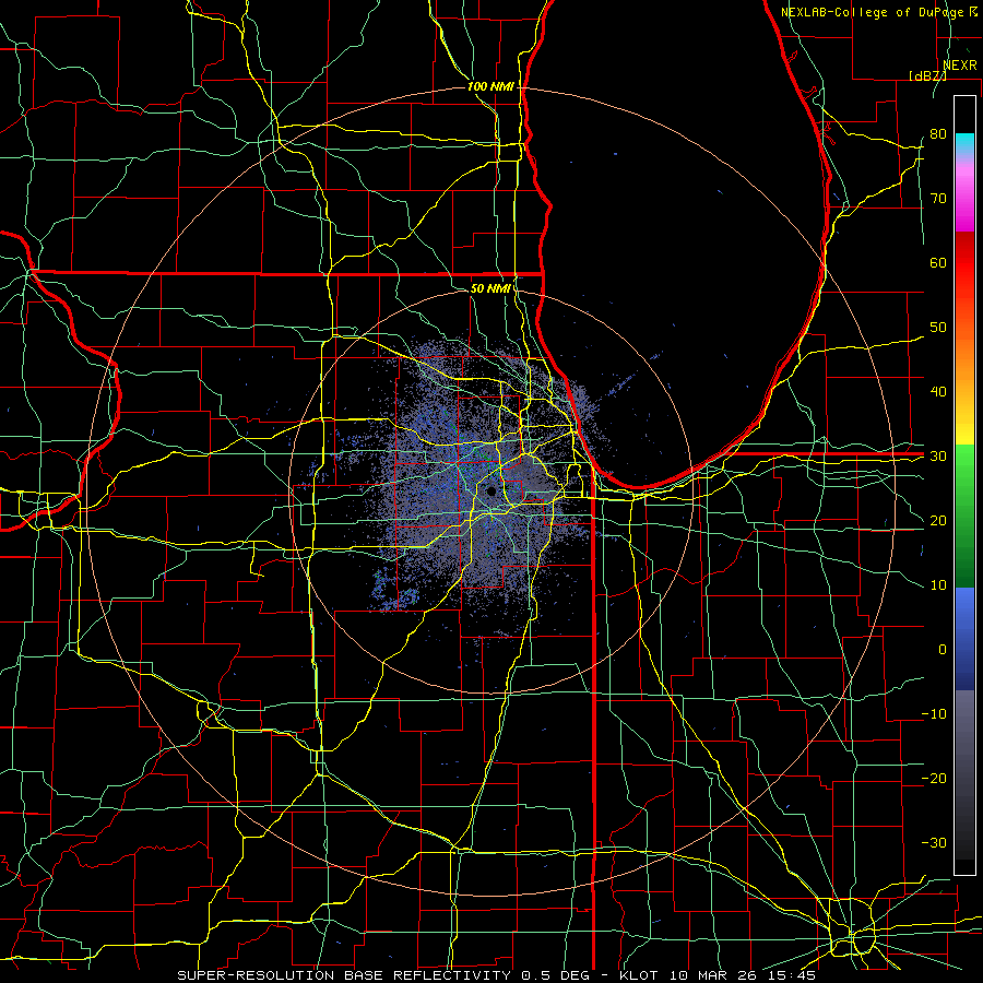
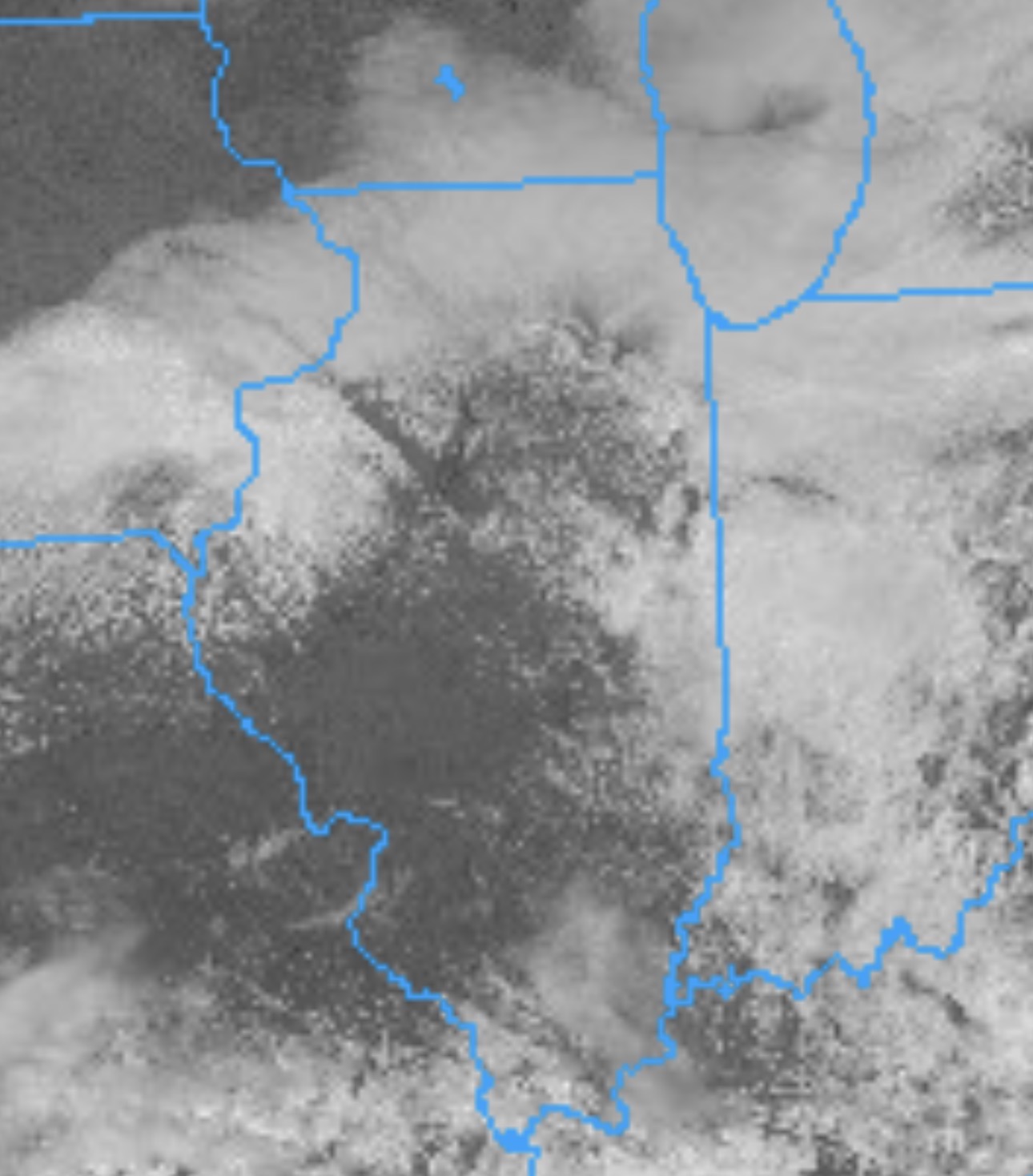
Looks like the Pontiac cell is heading into stable air
-
T warned now
-
Yeah the one nw of Pontiac is looking to drop one any minute now
-
-
-
-
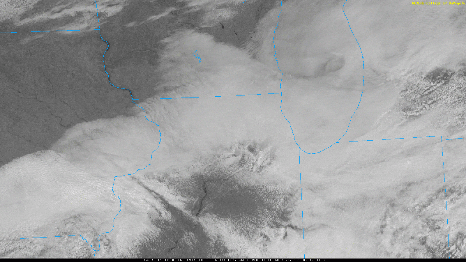
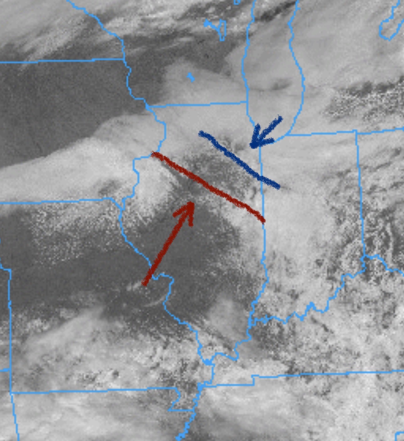
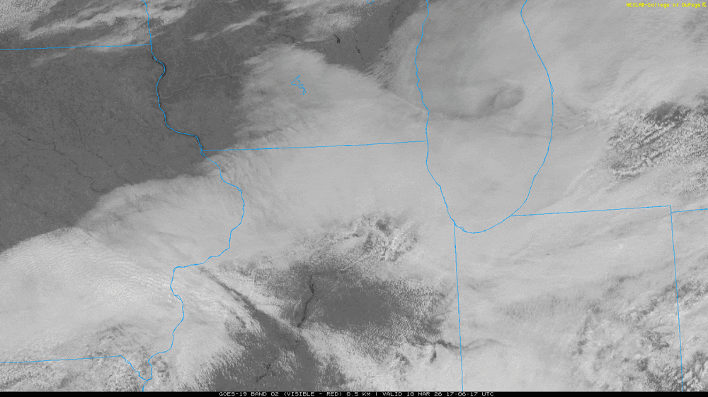
At least the clouds are clearing out more in northern and central il

-
-

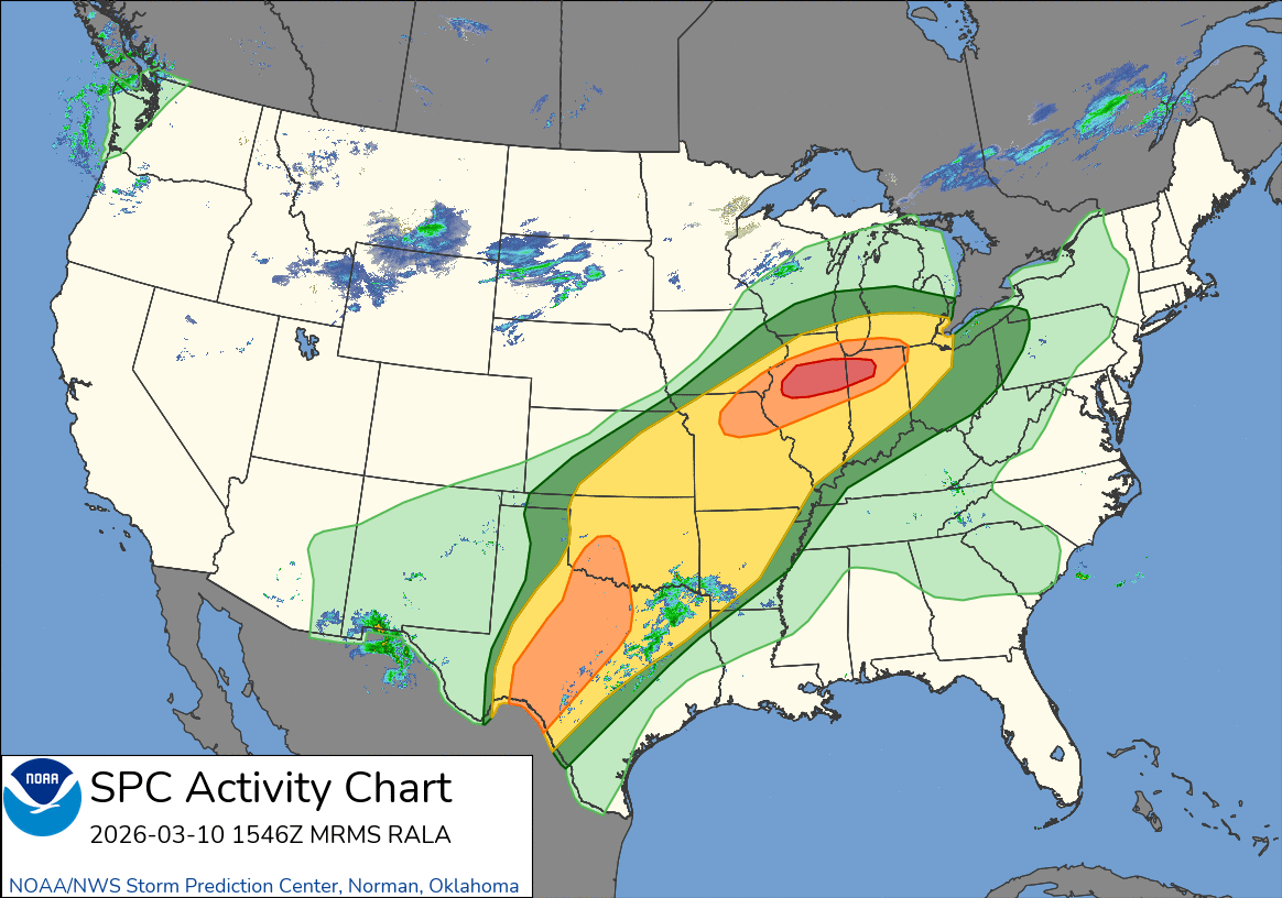
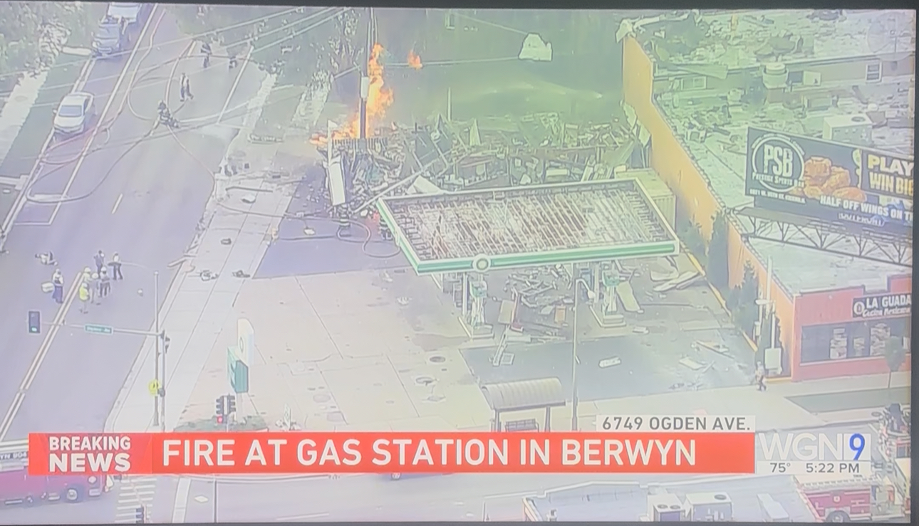
2025 Short Range Severe Weather Discussion
Castaway replied to Chicago Storm's topic in Lakes/Ohio Valley
Tree down at my old neighborhood in Cicero. Possible lightning strike. Also a gas station blew up on oak park and Ogden in Berwyn. Still going on. People said they heard/felt an explosion all the way near Austin and Ogden.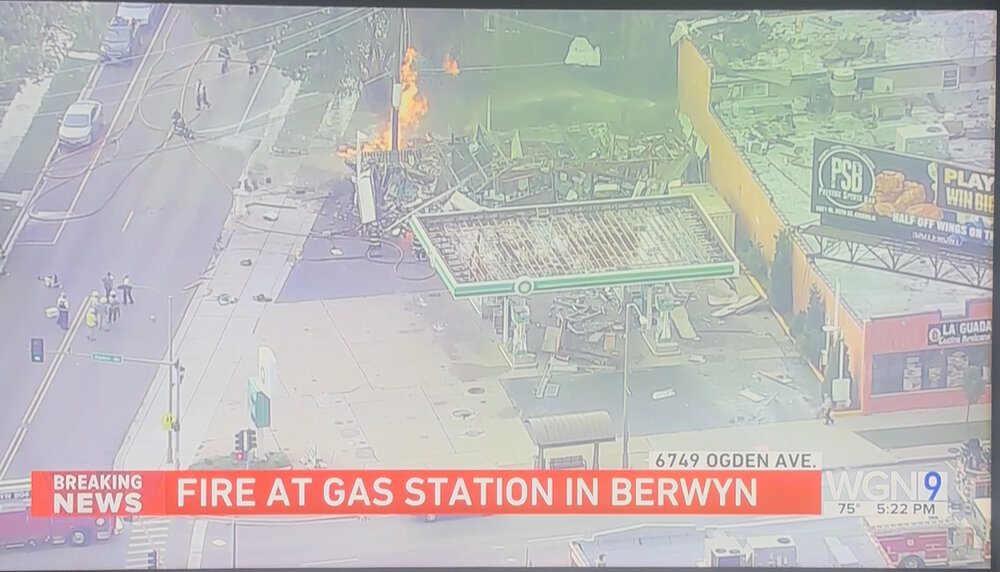
-
2025 Short Range Severe Weather Discussion
Castaway replied to Chicago Storm's topic in Lakes/Ohio Valley
Looked near white out by Lombard/Downers grove area. Had some solid bangers. Probably best storm so far
-
87 with dews now up at 69 with gusts up to 34mph imby