All Activity
- Past hour
-
 Steincid. Most folks see nada. Then a dry next 10
 -
 Looks flaccid tomorrow for storms.
 -

2026-2027 Super El Nino
dmillz25 replied to Stormchaserchuck1's topic in Weather Forecasting and Discussion
I sent it brother -
87 IMBY at 9:27 p.m. That is a bit much.I guess it has been worse lately
-
 Only a half inch over this way. Seemed to get a bunch of 7-10 splits until finally catching a core. Sharp gradient… only a couple miles south showing 1-1.5”… only a couple miles north under <0.25” like at the ASOS.
 -
Dude. Get some sutures!
-
It’s crazy how fortunate/lucky Raleigh has been that the heaviest rain has literally set up over the lake
-
Heights of 600???
-
 Had a pretty good set of storms rolled through here between 6:00 and 7:30 or so. Lots of lightning and some heavy rain. Over an inch and a half in that timeframe.
 -
SPC just upgraded for here to slight risk for damaging wind 5-15% wind no hail or tornado threat expanded marginal southwestward and east ward a little bit past i65 and slight risk west of i65 Cumberland plateau is in general thunder .
-
Upper 90s still hot so
-
Just about sliced my pinky finger off by dropping a bottle of wine that crashed on the door sill getting it out of the car, as the impending "storm" (lol) was about to hit. Tried to grab food and beer too like a dumbass instead of making 2 trips. Bled like a stuck pig and I think there are some glass fragments in there. Cleaned it and wrapped it up with some pressure for now and will go to urgent care tomorrow. Not sitting in ER for four hours tonight. Time to get drunk.
-
Line looked very promising coming in from the west but weakened as it got here with only 0.30. Terrible drought continues here
-

E PA/NJ/DE Summer 2026 Obs/Discussion
BBasile replied to PhiEaglesfan712's topic in Philadelphia Region
Looks like I may have captured a landspout tornado on my time lapse video from earlier today. I saw it in real-time on my controller, but it was hard to tell. Granted, this is a time lapse and zoomed in, but... It looks very much like a short-lived landspout. This is 3 seconds of video, so about 3 minutes in real-time. dji_fly_20260709_171850_196_1783631947000_hyperlapse~2.mp4 -
Miserable high of 96.6 today low of 73.4 no rain for first time in 5 days
-
JFC that's terrible. Wish it was just hot in the summer.
-
Another miserable 98 degree day here.
-
0.3 Skinny part of the line as usual lol
- Today
-
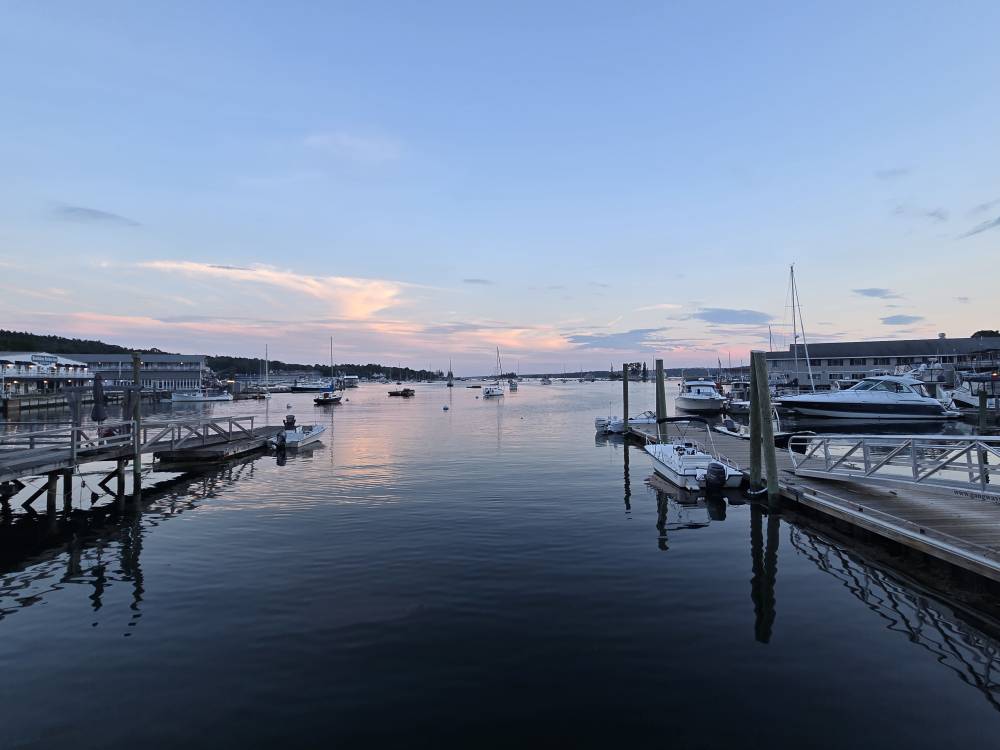
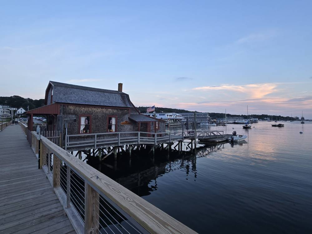
 Party's over as the rain and storms are rolling in here in Maine after being dry since last Friday when we arrived.
 -
Very strong storm incoming! Very windy and fierce looking skies just to west! Small limbs falling! A few big raindrops. So far just a few big drops. This batch formed per radar from collision of inland outflow and seabreeze boundaries. Cool stuff! Rarely a dull moment this time of year. Edit 9:20 PM: There was never more than a trace from those aforementioned few drops at my place. However, there was heavy rain for a pretty short period from the NW part of the county to downtown and also from Skidaway and Wilmington Islands to Tybee. In addition, much of the coastal counties of S SC got plentiful rain.
-
Agreed with this point. Talking about this at the office the other day a bit. I'm thinking juiced potential is very high within this scenario, so it will take timing cold shots. It might very well be a wet fall and winter, which I am completely fine with. We seriously need some precip around here. My time frame of interest is likely Jan and Feb for something more significant in these parts. I don't foresee any early threats which are not customary in a stronger Nino.
-
 no shame
 -
 Yeah pretty sweet evening.
 -
That looks quite comfortable thanks!
-
 Perfect weather Sent from my SM-S921U using Tapatalk