All Activity
- Past hour
-
Haven’t had many wins like this one this year so I’m making an old fashioned.
-
We had a snow in December 1982 too 7-10 inches but like cape about 82/83 ir didn’t stay on the ground long. That storm came on a Saturday night and was supposed to stay south. Was a big surprise,
-
0.8”, 1.6” over the last two days.
-
Again it looks like a nice thunderstorm pattern.
-
 I feel like we’ve said this a bunch lately
 -
PDO was positive in 82-83 It was a +AO Winter however. A few things that I look at in the warm season, posted earlier in the thread are going toward more -AO this coming Winter. So that's a plus.
-
 Sounds like you need to go above 7,500ft…. Get as high as possible.
 -
And they did, barely. Had some nice lightning and loud thunder. Ended up with .34". Nice considering we only had a 10% chance of rain.This puts me at 1.76" for the week and month.
-
 Headed out to the Tetons for some hiking. I think I'm just going to sit my ass in the Snake River. Mother fuc...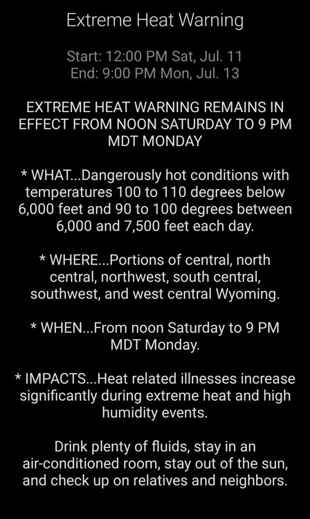
-
0.67” at DCA. 0.20” at home. Nice refresher.
-
The norm here. Stopped paying attention to the WPC/local NWS hype for heavy rain. The time will come but it isnt now.
-

Central PA Summer 2026 Discussion/Obs Thread
canderson replied to Voyager's topic in Upstate New York/Pennsylvania
Sorry about the shed, that sucks. -
If I had to guess our horrible lapse rates are doing something. We are sitting around 5.5 ml lapse rates which nearly puts us to a stable atmosphere.
- Today
-

2026 Atlantic Hurricane Season
WxWatcher007 replied to Stormchaserchuck1's topic in Tropical Headquarters
Not surprised they took the numbers down. You can already see how hostile things are out there as a whole and with an intensifying Nino things aren't likely to change. That said, as we get closer to the climatological peak there will be windows that open, probably say out in the subtropics, closer to the U.S. in the central/northern Gulf and SE coast where a front gets hung up, or later in the peak season where CAG season opens up again in the NW Caribbean and Gulf. Other than that it may be historically hostile in the tropical Atlantic even though the peak. -
.thumb.gif.f92b16c631a1d15d405ed77b33f0710d.gif) You have to be concerned. Drygust and Steintember to get through
You have to be concerned. Drygust and Steintember to get through -
Saturday 2% seems about right. Modest flow is forecast in the upper levels. It's not really backed, but a cooking outflow boundary can take care of the low levels. See how much sun comes out between rounds. Otherwise, summer clusters with some organization and straight wind seems reasonable.
-

Central PA Summer 2026 Discussion/Obs Thread
CarlislePaWx replied to Voyager's topic in Upstate New York/Pennsylvania
0.59" here in Carlisle this afternoon. Moderate to occasionally heavy rain in two bursts from 3:00 to 3:45 dropped 0.31". This was followed by a lull for 30 minutes, then light to moderate between 4:15 and 5:30 dropped 0.28". Was very fortunate to have not lost power from either day over the weekend. Saturday I escaped the worst. Sunday was a different story experiencing a severe thunderstorm (warned by NWS about 10 minutes earlier) with 60-70 mph gusts and a large tree branch broke off and crashed into the roof of my shed, basically destroying it. Some patio furniture got soaked, but nothing was damaged. -
 The last time the city entered critical drought restrictions was in July 2024, when the Manchester Reservoir lost 7 feet of water over seven weeks amid drought conditions. Critical restrictions remained in effect for months afterward. Initially, officials believed the drought caused the severe water loss. It was later determined the loss stemmed from a valve connecting Orr’s Pond and Manchester Reservoir — Attleboro’s two main drinking water sources — that had been left open longer and wider than it should have been. The valve was open for nearly two months.
 -
 Weeks and weeks of Steined
 -
Yeah, towers went up along the northward-moving boundary but failed. Something is hostile to development, as shown by the complete collapse of the storms moving south out of PA
-
 MVY has had more convection than most of SNE.
 -
Nada
-
0.57” of beautiful rain brings MTD to 4.63”
-
When you say how is the defense this bad and we're on the 3rd set of hitting coaches in 4 years , it definitely sounds like it the players and the person who chose said players .
-
Impressive fail.