All Activity
- Past hour
-
flooding
-

Potential Sever Weather Outbreak 4/27/2026
Chicago Storm replied to pen_artist's topic in Lakes/Ohio Valley
Nothing has really changed. Globals have showed a messy look more often than not for days now. -
Good rainfall, as much as it sucks real good for the ground
-

Central PA Spring 2026 Discussion/Obs Thread
canderson replied to Voyager's topic in Upstate New York/Pennsylvania
84 / 74 here in Austin at 10:45 pm -
Look at the fan to the left...Crosby cracks a small smile. https://www.youtube.com/shorts/doKgQhJNciY

-

E PA/NJ/DE Spring 2026 Obs/Discussion
JTA66 replied to PhiEaglesfan712's topic in Philadelphia Region
Spectacular Saturday, approaching .90” in the bucket. -
1.12”. Things will pop nice and green this week when we hit low 60s.
- Today
-
large tornado on the ground
-
Closing time, you don’t have to go home but you can’t stay here.
-
-
Low-level wind speeds over 100mph, with possible power flashes and maybe a big fire
-
Maybe a little steep but it wasn't a deep draft and 2 4th rounders...meh, I was ok w/it. I don't know exactly how they calculate "points" but it seems like a even trade...

-
this is one of the largest supercells I've seen
-
Gotta love 1874...
-

Central PA Spring 2026 Discussion/Obs Thread
Blizzard of 93 replied to Voyager's topic in Upstate New York/Pennsylvania
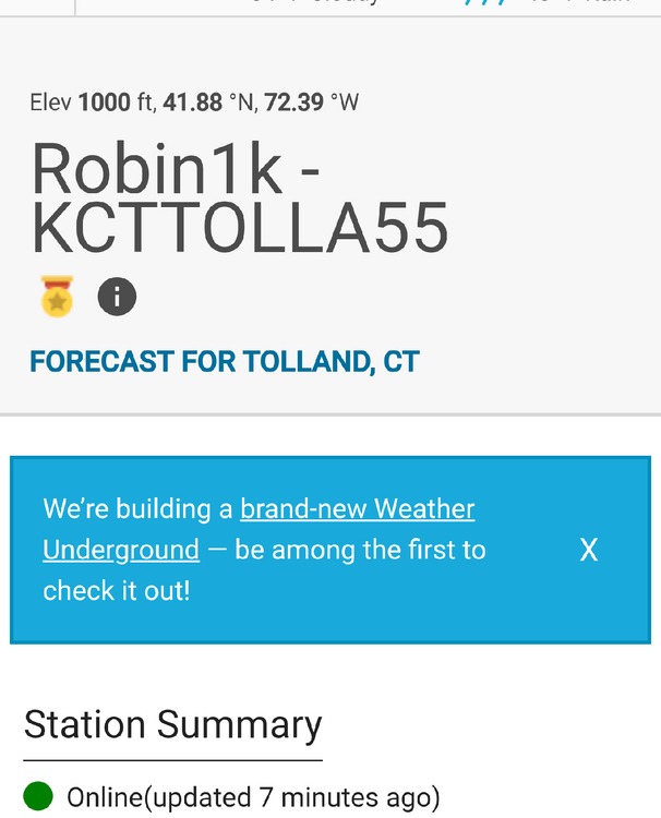
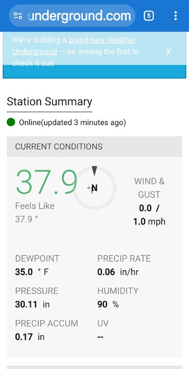
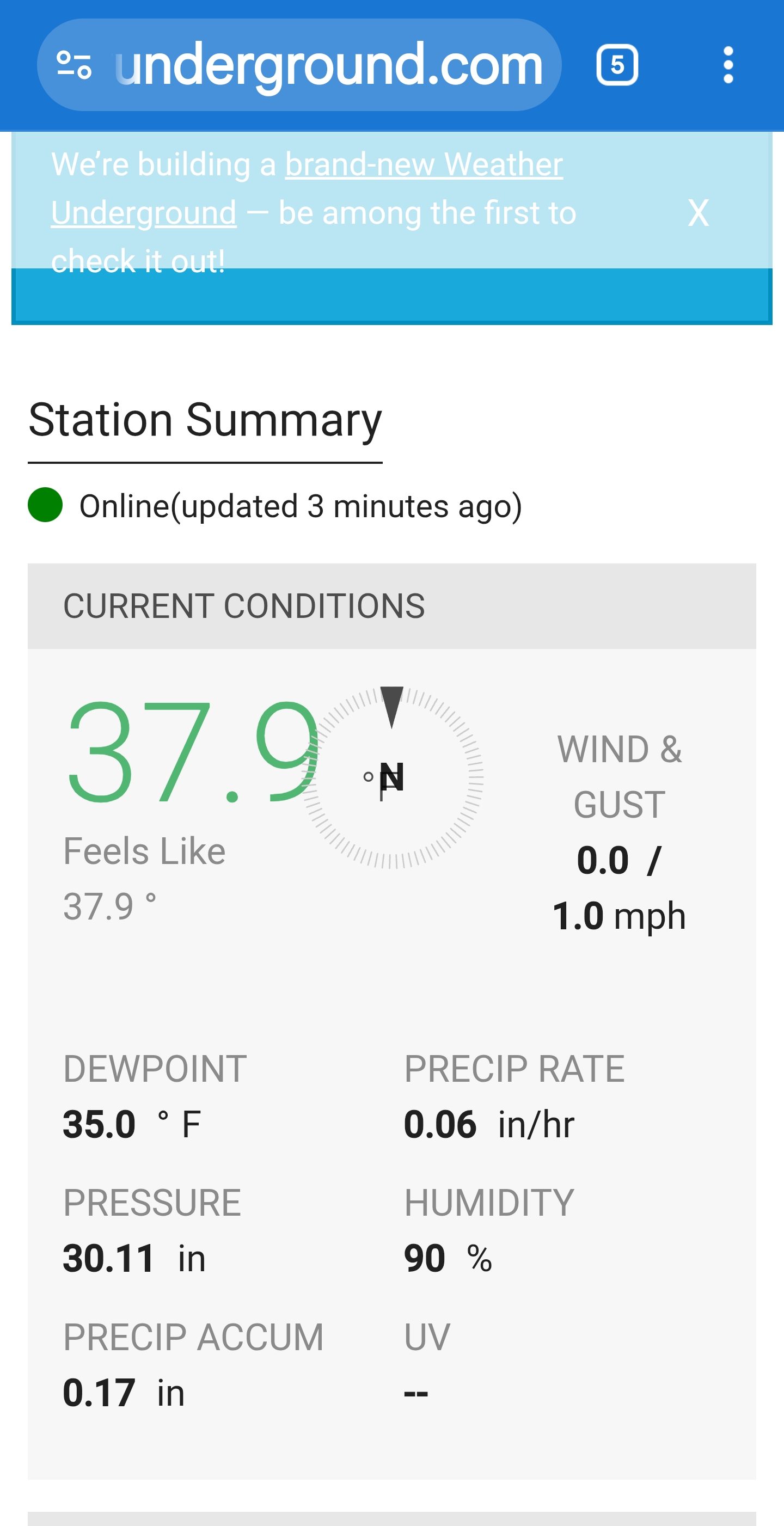
.53 of rain total today in Marysville Current temp is 45 -
1.03" 41°
-
Surprised at how much we got here near RDU. Sitting at .29" at 22:00
-
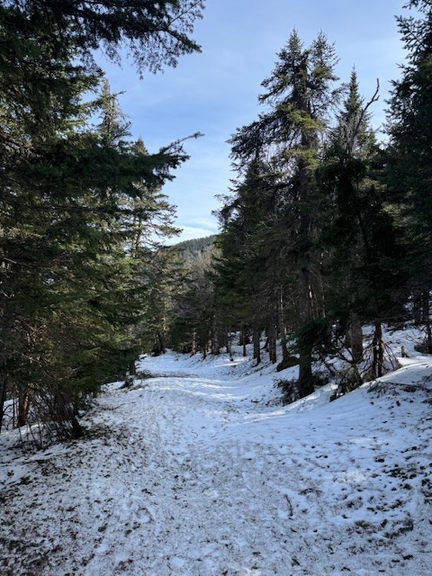
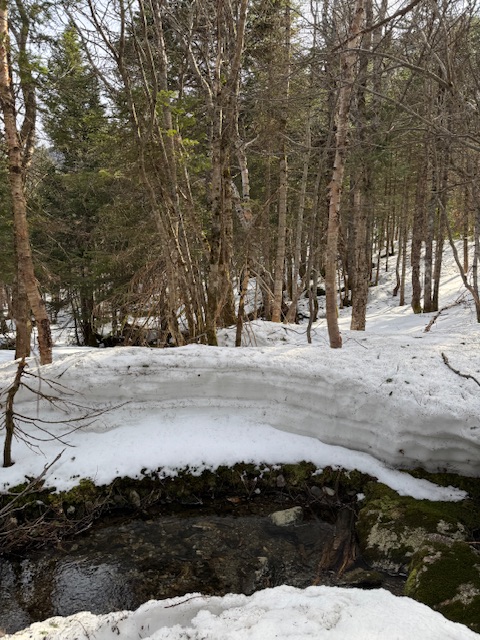
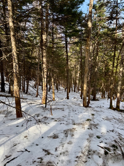
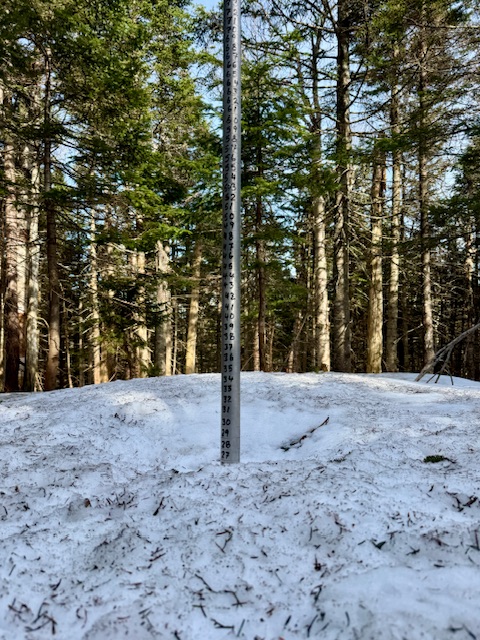
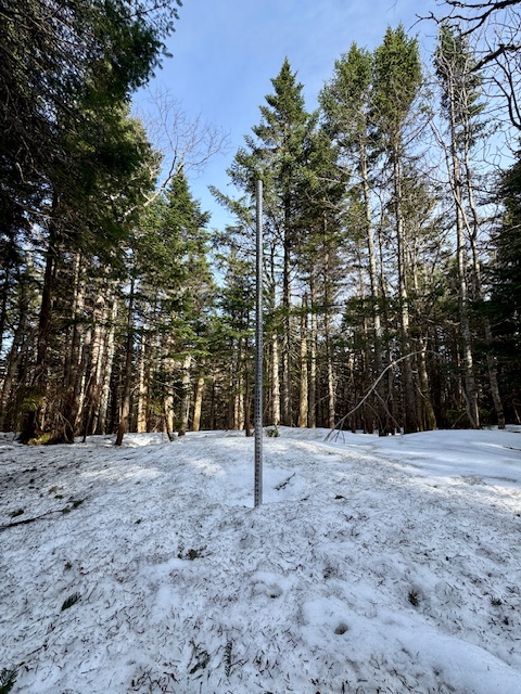
Time to shut ‘em down. Closing day, and last real reading of the year at the snow plot. Theres still snowpack up there but daily visitation gets tough without the lift. 310” of snowfall will be the ski area’s official season total at 3,000ft (mid-upper slope) on the broad east side. More snow must fall up in the alpine and ridge a thousand feet higher at 4,000ft, but this elevation works pretty good for the ski area terrain.
-

Potential Sever Weather Outbreak 4/27/2026
CheeselandSkies replied to pen_artist's topic in Lakes/Ohio Valley
Seems like all the CAMs to come into range thus far (including 00Z HRRR) obliterate the warm sector north of about I-70 with incessant convection through midday. A couple days ago there was talk of an abnormally far east EML advection preventing this, what changed? -
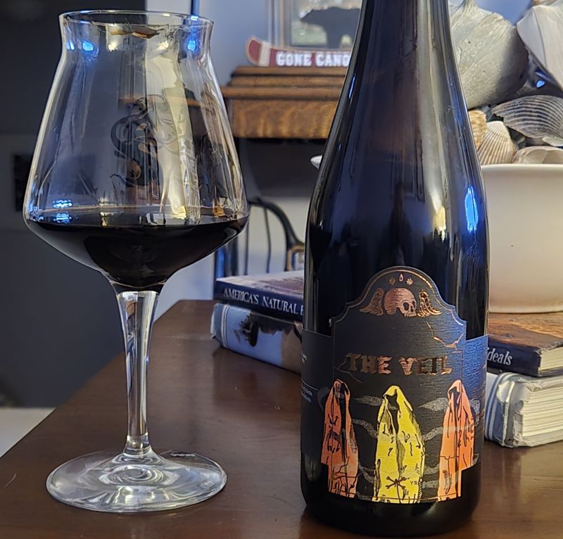
Good night for this beautiful stout. Double Barrel Aged Pallbearer from the veil. Aged 40 months in sam adams utopias then 18 months in eagle rare. 17.5%.

-
The next 10-14 days look decidedly average for temps, maybe even below. I don’t see anything that screams 70 degrees, never mind 80
-
nice good soaking.
- 889 replies
-
- 1
-

-
- april showers bring may..
- rain
- (and 2 more)
-
-

Texas 2026 Discussion/Observations
Sydney Claridge replied to Stx_Thunder's topic in Central/Western States
We've had several cloud-to-ground lightning strikes well ahead of the storm in Fort Worth (and across the northern Metroplex). Two potentially-tornadic supercells are moving towards the Metroplex, although the southwestern storm with its unimpeded inflow is the stronger of the two. -
S Nassau getting it pretty good today. Radar estimating 1.5” so far.


.thumb.gif.f92b16c631a1d15d405ed77b33f0710d.gif)
