All Activity
- Past hour
-
Let’s see how good the Ggem really is lol
-
Whoa
-
This is no different from always. Go with the seasonal trend. Dry.
-
Half inch on sunday and that's about it
-
80s have become more common in October during the last decade. We even had November 80s two years during the 2020s. The average for warm spots like Newark has been 4 days reaching 80° past the end of September. Monthly Number of Days Max Temperature >= 80 for NEWARK LIBERTY INTL AP, NJ Oct-Nov Click column heading to sort ascending, click again to sort descending. Mean 3 0 4 2025 4 0 4 2024 4 2 6 2023 6 0 6 2022 0 1 1 2021 5 0 5 2020 0 0 0 2019 3 0 3 2018 3 0 3 2017 5 0 5 2016 3 0 3 First/Last Summary for NEWARK LIBERTY INTL AP, NJ Each section contains date and year of occurrence, value on that date. Click column heading to sort ascending, click again to sort descending. Minimum 02-21 (2018) 09-28 (2020) 181 Mean 03-28 10-18 203 Maximum 04-15 (2024) 11-06 (2024) 2025 03-29 (2025) 85 10-07 (2025) 83 191 2024 04-15 (2024) 83 11-06 (2024) 83 204 2023 04-06 (2023) 83 10-28 (2023) 84 204 2022 04-14 (2022) 88 11-07 (2022) 81 206 2021 03-26 (2021) 84 10-20 (2021) 80 207 2020 03-20 (2020) 80 09-28 (2020) 81 191 2019 04-08 (2019) 80 10-07 (2019) 80 181 2018 02-21 (2018) 80 10-11 (2018) 81 231 2017 04-10 (2017) 82 10-21 (2017) 81 193 2016 03-09 (2016) 82 10-19 (2016) 87 223
-

Septorcher 2026 Discussion - Endless Summer
ineedsnow replied to Damage In Tolland's topic in New England
Some 12z EPS members look fun -
SPC has day 2 marginal risk out for east i65 Cumberland plateau and almost the majority of east tn for tomorrow Saturday for 5% damaging winds .
-
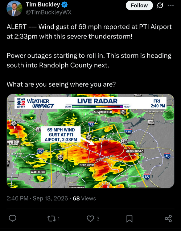
How? Looking at national, regional and local radars shows a goose egg. Apparently, radar is down nation-wide at 2:30 pm.
-
Well there is MGD 64. As always ……
-
Euro- What storm? Enjoy the nice north winds and cool temps. I'm not mad at it lol
-
Euro is now dry for most of next week. I know it's gonna be a cloudy cool pattern with the east winds, but it's possible that we won't get much rain.
-
Fort Collins has had 2.78" (roughly 2.50" on CoCoRAHS) vs an average of 3.05" in 60 days
-
Euro’s always got to be different. Lol
-
99L is now a cherry: 1. Eastern Subtropical Atlantic (AL99): Showers and thunderstorms have changed little in organization since this morning in association with an area of low pressure located several hundred miles southwest of the Azores. However, just a small increase in organization is likely to result in the formation of a tropical depression as soon as later today. The system is expected to move slowly over the next couple of days remaining southwest of the Azores, followed by a turn to the southwest by early next week, when environmental conditions are forecast to become less favorable for additional development. * Formation chance through 48 hours...high...70 percent. * Formation chance through 7 days...high...70 percent.
-
Vacation starts tomorrow can't wait to hit the road. Would have preferred it be a bit warmer but beggers can't be choosers.
-
Fun cyclical climate change stat of the day - Did you know that the average number of heatwaves in the U.S. have decreased by 27.9% since the beginning of the 20th century?
-
Is 99L going to be the first TC formation of the month? Edouard became a TC in August. When was the last Sept that didn’t have a TC formation by now? 2025 took til Sep 17th. 1976 didn’t have one that later became a TS til the TD that formed on 9/26 and that became TS Gloria on 9/27. And there was a ST storm on Sept 13th. So, that doesn’t count as a TC. However, 1976 also had 2 TCs that maxed out as only TDs early in Sep. in the satellite era. So, even if a TD is declared today, 2026 has already beaten 2025 for the latest 1st TC declared in Sept. during the satellite era. Now, if it becomes a TS, that would mean that 1976 would remain the season with the latest first named TS in Sept. in the satellite era, which is Sept 27th.
-
 over the counter sildenafil and viagra without prescription Viagra without a doctor prescription Canada http://images.google.al/url?q=https://getbelvion.com Viagra generic over the counter and https://exhibitioncourthotel4.co.uk/user-2/xwbdfwsqvw/?um_action=edit Cheap generic Viagra [url=http://wildcakes.ru/forum/away.php?s=http://getbelvion.com]order viagra[/url] Viagra without a doctor prescription Canada or [url=https://cyl-sp.com/home.php?mod=space&uid=176757]Order Viagra 50 mg online[/url] buy Viagra online
 -
over the counter sildenafil and viagra without prescription Viagra without a doctor prescription Canada http://images.google.al/url?q=https://getbelvion.com Viagra generic over the counter and https://exhibitioncourthotel4.co.uk/user-2/xwbdfwsqvw/?um_action=edit Cheap generic Viagra [url=http://wildcakes.ru/forum/away.php?s=http://getbelvion.com]order viagra[/url] Viagra without a doctor prescription Canada or [url=https://cyl-sp.com/home.php?mod=space&uid=176757]Order Viagra 50 mg online[/url] buy Viagra online
-

E PA/NJ/DE Autumn 2026 Obs/Discussion
RedSky replied to PhiEaglesfan712's topic in Philadelphia Region
The 60's forecast for Tuesday through Thursday are overly optimistic guidance has it staying in the 50's -
E PA/NJ/DE Autumn 2026 Obs/Discussion
RedSky replied to PhiEaglesfan712's topic in Philadelphia Region
Saturday Night A chance of showers after 2am. Mostly cloudy, with a low around 57. East wind around 5 mph becoming calm in the evening. Chance of precipitation is 40%. New precipitation amounts of less than a tenth of an inch possible. Sunday Showers, with thunderstorms also possible after 5pm. High near 70. Southeast wind around 5 mph. Chance of precipitation is 90%. New rainfall amounts between a quarter and half of an inch possible. Sunday Night Showers and possibly a thunderstorm. Low around 59. Chance of precipitation is 80%. New precipitation amounts between three quarters and one inch possible. Monday A chance of showers. Mostly cloudy, with a high near 68. Chance of precipitation is 40%. Monday Night A chance of showers. Mostly cloudy, with a low around 52. Chance of precipitation is 50%. Tuesday A chance of showers. Mostly cloudy, with a high near 61. Chance of precipitation is 50%. Tuesday Night A chance of showers. Mostly cloudy, with a low around 50. Chance of precipitation is 40%. Wednesday A chance of showers. Mostly cloudy, with a high near 62. Chance of precipitation is 40%. Wednesday Night A chance of showers. Mostly cloudy, with a low around 50. Chance of precipitation is 40%. Thursday A chance of showers. Partly sunny, with a high near 65. Chance of precipitation is 40%. -
Super El Niño this analog year that, anymore…

- Today
-

E PA/NJ/DE Autumn 2026 Obs/Discussion
Birds~69 replied to PhiEaglesfan712's topic in Philadelphia Region
Praise Jesus! -

E PA/NJ/DE Autumn 2026 Obs/Discussion
JTA66 replied to PhiEaglesfan712's topic in Philadelphia Region
Next week is looking like some of the best weather since last spring -- dark, dreary, dank, damp and dismal. The sun has overstayed it's welcome. Time to break out the flannel shirts, hockey jerseys and jeans! 85F/DP 66F -
no i did not












(002).thumb.png.6e3d9d46bca5fe41aab7a74871dd8af8.png)