All Activity
- Past hour
-
lol the Wizards - get down by 20+ in the first half, only to get it back close to even, only THEN to lose by 40+. Almost impressive.
-
7.7°F love it, Making ice.
-
Have you ever had a Krispy Kreme donut? Are they Krispy?
-
-
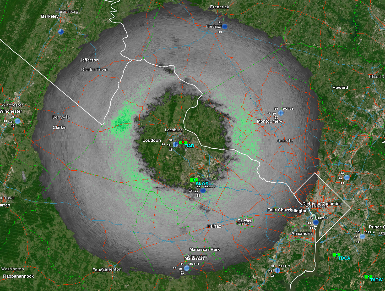
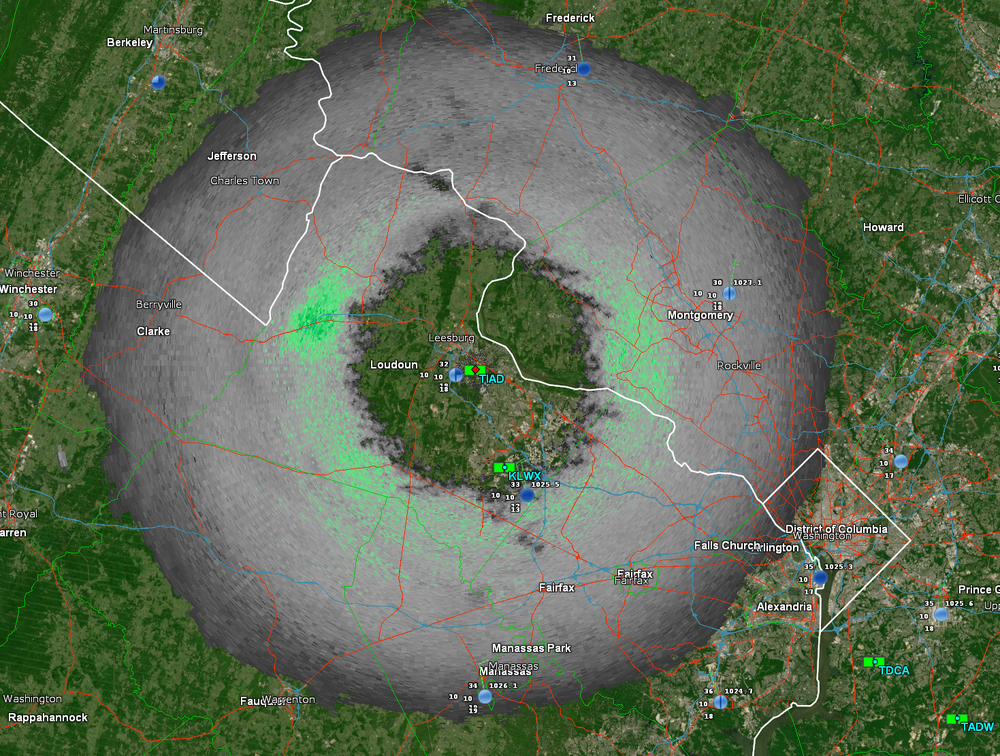
Do you have a link to this for other airports (CHO in my case)?
-
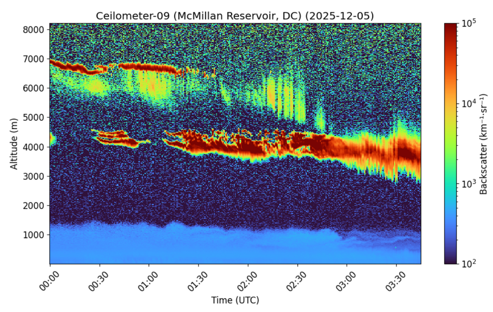
So begins the painful watching of the dry air getting eroded.
-
Oy vey.
-
I have heard in the past from many that a tanking SOI will energized the STJ. We shall see.
-
You're getting it!! Static presentations tell some of the story, but how the whole evolution materializes, or is expected to materialize paints the full picture. You'll learn a lot more about jet dynamics as you work through classes. The derivations will help give you an understanding of the "why", even though they can be a bear to tackle (Math portion). Contextual models will also help as well, which I know they'll go through. You are doing great and really find interest in this, so keep up the great work and never stop asking questions
-
Down to 41… guess i better go prep the snowblower. .
-

Richmond Metro/Hampton Roads Area Discussion
Midlo Snow Maker replied to RIC Airport's topic in Mid Atlantic
You're fine, get your snow board out. DC is always trolling, troll back with pics tomorrow. -
Very light sleet mixed with rain near downtown Winston-Salem. It sounds icy coming down but it’s just little pellets
-
Thank you for these posts as I think I get what you’re saying now. If I’m understanding you’re saying that the FGEN takes on a more titled angle of SW to NE because the mid lat low amplifies and pumps up the height lines ahead of it just a tiny bit (alongside some jet dynamic sorcery). In practical effects this tilting would cause the eastern bit of the FGEN to be lifted north relative to the screenshot expected trajectory by wind barbs (as they change with the mid-lat cyclone deepening), while the western FGEN would tilt south some. I do worry a little bit that my new location (no longer NOVA as I’ve progressed to UVA) may end up between the 850mb FGEN focus in NoVa and the higher level FGEN further south but honestly from what you’ve said it looks like I’m pretty good to at least catch the western (if tilted south) half of the 700-500mb FGEN! Oh also am NOT looking forward to knowing the equations behind this stuff because damn lapse rate and first law of thermodynamics stuff already almost took me out.
-

E PA/NJ/DE Winter 2025-26 Obs/Discussion
LVblizzard replied to LVblizzard's topic in Philadelphia Region
Some of the 0z mesos form scattered snow showers away from the main area of precip with the low sliding to our south. I wouldn’t be surprised to see some coatings around the area tomorrow evening. -
25.
-
Rain/sleet mix here. 40 degrees
-
Yes!
-
Wait are you referring to the bird-like shape, or something dirty, because I al a little confused.
-
Down to 33 and rain.
-
My son is at Radford. It’s coming down. He’s drunk at a frat party. Bastard.
-
Prediction? PAIN
-
Had a few sprinkles. Its 41.
-
Looking at traffic cams, snowing in Blacksburg and Beckley WV, draw a line between the two for forward progress of the snow. Currently 32.0.26.7 here and waiting.
-
What an impressive distribution. What’s your prediction for inches?.
-
Correct. As long as the Northern stream continues to zip across CONUS, it doesn’t have the chance to connect with southern stream and phase. Until this changes, we will undoubtedly have cold air but almost nothing to show for it