All Activity
- Past hour
-
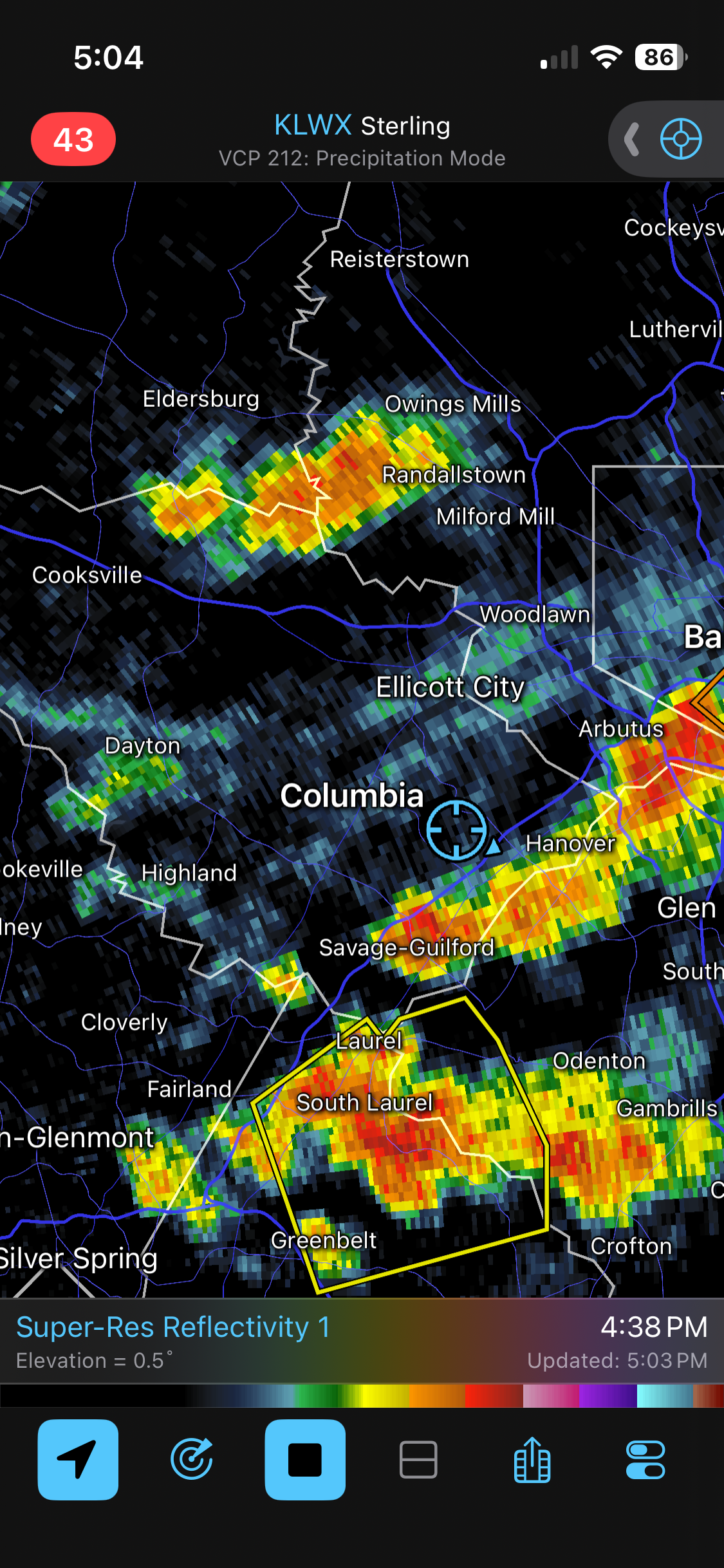
Good storm out this way. Nothing crazy.
-
 https://tadaliko.shop/# Tadaliko
 -
First small cell moving through out ahead of the line. Lots of lightning with this one
-
lots of thunder and it’s been a whiteout of rain for 30 minutes now. but no wind and not a lot of lightning (that you can see).
-
Just turned on the sprinkler to water the grass seed as it is looking like there will be no rain for now.
-
Heather Hill in Plainville MA closing end of this month Word just came out that Stone E Lea in Attleboro is closing now. It’s been a brutal stretch of closures locally to SE MA. These include; Maplegate (Bellingham), Locust Valley (Attleboro), Bungay Brook(Bellingham), Highland CC (Attleboro), Rehobeth CC (Rehobeth), Atlantic Driving Range (Attleboro) These places were affordable to play.
-
Under a double severe thunderstorm warning now in Rockland. One from the cell overhead and now the line in NJ.
-

Augdewst 2026: Summer's Last Stand
dendrite replied to Prismshine Productions's topic in New England
Congrats? -
Had brief 50-60 gusts at the start. Power went out after the wind. Something most likely got hit by a lightning strike.
-
My turn. We are about to get schwacked.
-
There’s been no wind yet in Bardonia. Just heavy rain and a ton of lightning.
-
I need like 1 freaking mile of northern extension and can’t get it
-
Just lost power.
-
I hope it doesn’t cause the main line to weaken. It’s bowing out right now over NJ.
-
There is a force field around the 29/100/95 area. I can hear and see it to the south, but not sure we gonna get any rain from it.
-
Boundaries flying everywhere
-
The asplundh trucks that do the BGE work around my area sit around all day sleeping in the truck and trim trees for about 90 minutes in between naps. Normally I give the benefit of the doubt to workers like that, but we've been here 10 years and there has been at least 3 times where there are 3-4 huge tree trucks with guys napping/scrolling their phone. They show up around 8AM, and leave around 4PM. I don't know who is scheduling their daily work areas but pretty sure they could add a couple extra jobs and not stress these guys out.
-
Holy shit!! This storm is nuts 50-60mph winds, cant see anything across the street. Branches flying. Dangerous CG’s
-
50s and rain all the way up to the summits of the ski resorts.
-
Hell yeah dude.
-
Charlottesville getting hammered again. 6 - 8 inches of rain in less than a week.
-

Central PA Summer 2026 Discussion/Obs Thread
Itstrainingtime replied to Voyager's topic in Upstate New York/Pennsylvania
That's the road I grew up on!!! -
Cell getting going here in rockland. Thunder picking up. The National Weather Service in Upton NY has issued a - Severe Thunderstorm Warning for... Northeastern Bergen County in northeastern New Jersey... Central Westchester County in southeastern New York... Rockland County in southeastern New York... - Until 545 PM EDT. - At 454 PM EDT, a severe thunderstorm was located over Pearl River, or near Nanuet, moving northeast at 10 mph. # DETAILS -------------------- HAZARD 60 mph wind gusts and quarter size hail. SOURCE Radar indicated. IMPACT Minor hail damage to vehicles is possible. Expect wind damage to trees and power lines. THIS SEVERE THUNDERSTORM WILL BE NEAR Nanuet and Tappan around 500 PM EDT. Nyack around 515 PM EDT. New City around 530 PM EDT. ISSUED AT Friday, August 7, 2026 at 4:54 PM EDT ISSUED BY National Weather Service New York NY HEADER BULLETIN - IMMEDIATE BROADCAST REQUESTED | Severe Thunderstorm Warning # PRECAUTIONARY/PREPAREDNESS ACTIONS
-

Central PA Summer 2026 Discussion/Obs Thread
Superstorm replied to Voyager's topic in Upstate New York/Pennsylvania
.