All Activity
- Past hour
-
Meanwhile in Tolland the uninstalls have begun..
-
it got a little chilly last night i had to use a portable heater..
-

Central PA Spring 2025
Itstrainingtime replied to canderson's topic in Upstate New York/Pennsylvania
The sun came out around 4pm yesterday down this way - I swear, within minutes the sounds of mowers humming filled the air in the 'hood. Sounds like your opportunity awaits! -
46.4 for the low here this morning, feels nice.
-

E PA/NJ/DE Spring 2025 Obs/Discussion
LVLion77 replied to PhiEaglesfan712's topic in Philadelphia Region
I agree that topography has a big role as well here as you described, and that influence is year-round. The Atlantic stabilizing influence is likely only prevalent here in the spring when the ocean temp is generally in the 40s and 50s am low pressure is sitting to our west. I don’t think the computer models grasp that very well. In the fall and winter it is the opposite situation in that easterly flow is conducive to more precipitation, considering that the ocean is a lot warmer than the land at that point. . -
Sun is finally coming out.
-
September 1983 was a classic hot extended summer wasn't it, Chris? 6 days of 90+ including a 95 degree day in there on the 11th? This was after it hit 100 at JFK in August. Why does it look like it was below normal for the month of September on Long Island though?
-
1.30 for the event so far. Looks like i'll be bailing hay by the time the grass dries off till I get to mow it.
-
Next meaningful rain will be tonight. It's not a bad pattern at all, just wish it was sunny during the day, it can rain all it wants at night.
-
.thumb.jpg.6a4895b2a43f87359e4e7d04a6fa0d14.jpg)
Central PA Spring 2025
Yardstickgozinya replied to canderson's topic in Upstate New York/Pennsylvania
Hrrr seams wonky and super over doning today's convective evaluation by basically covering 90% of the state in thunderstorms, but dose eventually get around late in its range to something that looks slightly realistic posted below. It eventually brings the line along the Mason Dixon into CPA. When I looked at it a few hours ago, it had the idea of traing storms from Lancaster to Warren County starting around 4:30.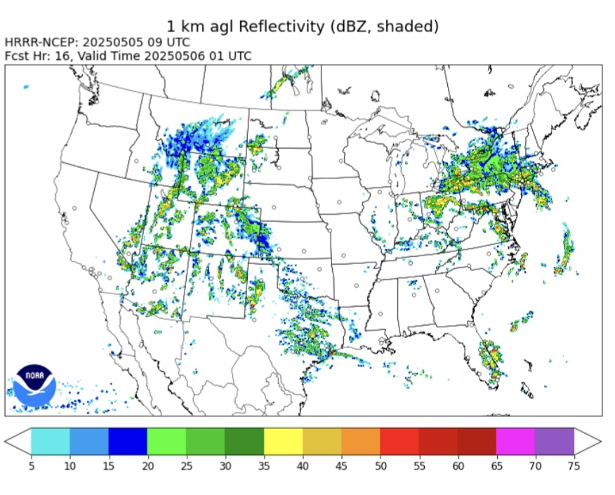
-
45 and steady moderate rain this morning. We get a few May days like this every year or two.
-
These are the classic summers I grew up with that I knew and loved. I have dim memories of 1977 (mostly because of the blackout.... I think there's a pun there somewhere, unintentional I assure you lol) but stronger memories of 1980, 1983, 1988, 1991, 1993, 1995, 1999, 2002. The summers in the 90s were when I was in college and enjoyed wonderfully sunny summers at the beach, I think those summers all the way up to 2002 were the best summers we've ever had, only usurped by 2010-2013 which also had wonderful weather. Since 2013 we just haven't had summers like that anymore. We haven't even had a stretch of 7 or more days of 90 degree heat in a row since 2002 (we had two that year and also two in 1999.)
-
The title didn't age well lol. Drought strengthening everywhere but Frederick where it always rains should of been the title lol. I had a mostly cloudy weekend with a few sprinkles.
-
Picked up approximately 1.04” yesterday. Saw a little bit of blue sky for about 5 minutes this morning. Then gone. 64 degrees
-
Central PA Spring 2025
Itstrainingtime replied to canderson's topic in Upstate New York/Pennsylvania
Nothing in Maytown since yesterday morning. -
.94 for the event so far, 57/56, misty.
-
It’s all relative to what the average rainfall is in any given area. Of course more arid and semi-arid regions experience less rainfall. But if you shut off the rainfall in a drier region like Southern California, then severe drought conditions will develop if it only a tiny fraction of what is normal for those local areas falls. In reality, those areas which burned last winter around LA used to be wild areas with very few inhabitants as recently as a couple hundred years ago. Now add the acceleration of the water cycle with wetter rainy periods spurring dense undergrowth from climate change followed by record drought and you saw what they were up against out there. Plus the changing 500mb and surface patterns lead to record winds. So poor land management practices combined climate change is a very dangerous combination.
-
well duh, nothing showing.
-

2025-2026 ENSO
40/70 Benchmark replied to 40/70 Benchmark's topic in Weather Forecasting and Discussion
December seems to be a pretty strong -WPO. -
Light rain yesterday evening was the extent of it besides a quick downpour around lunchtime. Things still shaping up for more rain the next 2 days?
- Today
-
We had one of the wettest springs on record in 1983 with extensive basement flooding in Long Beach. But the entire Eastern US had a very dry summer. So it can only take a few weeks during peak summer heating for drought conditions to develop when it doesn’t rain. Plus you have to take into account the source region of the heat which is moving into the area. 2011 had the worst drought since the dust bowl in Texas which extended up into our area through most of the East. If the whole region surrounding our local area is dry, then the drought feedback will affect our temperatures also since the flow is from those dry areas.


-
I think overnight into mid day was our best shot, and if correct models are showing heaviest moves west of E CT later today.
-
2024-2025 La Nina
40/70 Benchmark replied to George001's topic in Weather Forecasting and Discussion
I agree that there is no malicious agenda pushing...I don't think anyone has ever implied that there were malicious intentions by anyone on this forum. But I do think that a lot of folks already have their mind made up one way or another. -
Don't be pushing for a repeat of this past weekend now, NWS ILN! From NWS ILN's recent Long Term Ensemble guidance seems to be in fairly good agreement showing an influx of very dry air from the N into the daytime Friday, even with the details regarding the digging S/W into the ern Great Lakes and NE CONUS still somewhat uncertain. Should this feature dig to the SW a bit more into the ern OH Vly, some of the driest air may be shunted a bit more to the W of the local area into Saturday, but latest guidance still maintains a dry fcst locally during this period. This being said, the ensemble data points toward a cutoff low that develops further to the W closer to the ILN FA Friday into Saturday, which would likely mean daytime temps that may be quite a bit cooler than the blended fcst currently suggests. Certainly the trends portend that we may have another cutoff low to contend with immediately to our E into Saturday and the interaction between the digging S/W NE CONUS trof and the lumbering broad cutoff low in the S mid MS Rvr Vly will be watched closely for adjustments to the fcst. The exact evolution of this pattern into next weekend still has some uncertainties at these time ranges given the weak flow and interaction between various relatively weak systems. But for now, near to slightly below normal temperatures and drier conditions are favored mid to late week before a gradual warming trend evolves by late next weekend into early next week.
-
Unlikely but who really knows? No one


