All Activity
- Past hour
-
 Off to north shore of Kauai tomorrow for a couple of weeks. Maybe get a little brush by Fausto but looks to be a remnant by the time it gets there. Doesn't look like the greatest beach weather at first but hopefully dries out a bit by next weekend.
 -
Highs will generally reach the lower 80s through much or all of the remainder of July. The warmest spots could reach the middle 80s on occasion. Some showers or thundershowers are possible Tuesday afternoon into Wednesday. The ENSO Region 1+2 anomaly was +3.6°C and the Region 3.4 anomaly was +2.1°C for the week centered around July 15. For the past six weeks, the ENSO Region 1+2 anomaly has averaged +3.20°C and the ENSO Region 3.4 anomaly has averaged +1.82°C. The ongoing strong El Niño will continue to strengthen through the summer. The SOI was -16.25 today. The preliminary Arctic Oscillation (AO) was +1.546 today. Based on sensitivity analysis applied to the latest guidance, there is an implied near 75% probability that New York City will have a cooler than normal July (1991-2020 normal). July will likely finish with a mean temperature near 76.7° (0.8° below normal). Supplemental Information: The projected mean would be 0.2° above the 1981-2010 normal monthly value.
-
ERW should help kick off a strong phoon headed towarsd East Asia,both the Euro and GFS today shows it headed towards Japan,but who knows where it goes right now,East China we could really warm up into Aug here
-
That's just sad.
-
-
 everyone knows life would be better if we exterminated the left side of the bell curve
 -
.thumb.jpg.6a4895b2a43f87359e4e7d04a6fa0d14.jpg)
Central PA Summer 2026 Discussion/Obs Thread
Yardstickgozinya replied to Voyager's topic in Upstate New York/Pennsylvania
It's all well done but ,for me, personally, b looks the most professional. -

2026 Mid-Atlantic Severe Storm General Discussion
WEATHER53 replied to Kmlwx's topic in Mid Atlantic
4 confirmed tornados plus area wide 1-3” and most rain in an event for some in Years We need maturity here so the half dozen whine fests about “why did this bust” was Way Off. One reason for the way off was that at 1/2pm the bust declarations were flying and the event wasnt even supposed to be underway for the many hours it did last including after dark- 1,461 replies
-
- 1
-

-
- severe
- thunderstorms
- (and 7 more)
-
Central PA Summer 2026 Discussion/Obs Thread
Yardstickgozinya replied to Voyager's topic in Upstate New York/Pennsylvania
From nws KEY MESSAGE 2: Turning more humid and unsettled into early next week with the best odds for storms Monday PM through Tuesday PM Shortwave energy diving southeast around the prominent upper high centered over central and southern Plains will help to eventually carve out a closed upper low over the eastern Great Lakes by early next week. Expect a gradual increase in shower and thunderstorm coverage Sunday through Tuesday with peak POPs in the Monday PM-Tuesday PM window based on the latest ensemble guidance. There will likely be some level of severe and/or excessive rain risks to manage that are largely dependent on timing/upstream system evolution at this point. -
About to pour an Other Half TDH ALL RIIIOT EVERYTHING NZ EDITION to leadoff Friday HH A triple dry hopped Imperial IPA. Hell of a name.
-
 Going to be on vacation so I’m putting in early for August August DCA: +0.5 NYC: +1.2 BOS: +0.7 ORD: +0.8 ATL: +1.2 IAH: +0.3 DEN: +0.9 PHX: +1.2 SEA: +0.4
 -
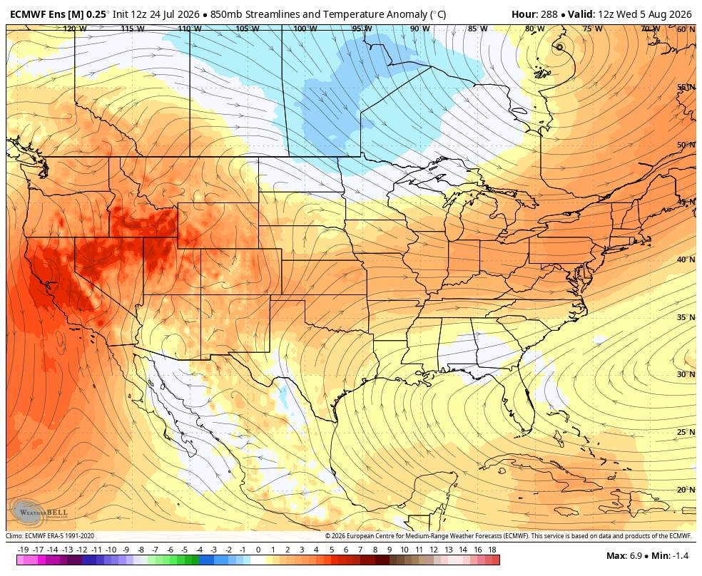
 I don't think the trough parks on the EC tho... That almost never happens in JJA climo pattern/records. In fact, models will tend to over amplify that trough at this range, while getting the western N/A ridge probably closer to accurate compared to handling the east. Which ends up just being a weakness with a 500 mb flow paralleling the coast. That's why I suspect if that D8-14 range CPC temperature probability aligns with the pattern, BB is what we'd end up with in reality. Having said all that... if the CPC PNA outlook is correct, the correction vector is probably more WAR influence - if that starts emerging more and more in outlooks, that wouldn't surprise me... but WAR is also not really eye-stingin' heat, either. It goes sorta like this: Sonoran Release 102/62, WAR 92/72, Bahama Blue 82/78
-
It's probably 82/78 a Bahama Blue circulation mode... "Heat" is in the DP in that scenario, reflected in average highs over sweltering lows. Welcome to Nassau
-
 EPS retrogrades the western ridge a bit, but it still looks a bit troughy in the OH valley. AIFS gets the trough and WAR more west. Regardless, it’s mostly chamber weather for the next 7-10 days.
 -
CPC says above average comes back
-
Something to look out for is how cool October usually is in El Nino PDO has opposite correlation though, and it's strongest month of the year is October so we'll see how the battle of -PDO vs Super Nino goes, going forward.
- Today
-

2026-2027 Super El Nino
GaWx replied to Stormchaserchuck1's topic in Weather Forecasting and Discussion
WCS PDO is still dropping and is now down to -1.81, lowest since early Oct: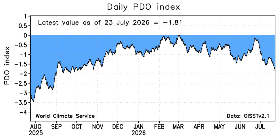
-
 Yes very good synopsis. Please come to front of the class and keep Kenny in the corner with dunce cap on . Ridge trough ridge . It’s a warm to hot at times and humid pattern . Also with trough in Midwest if there were to be some home brew tropical system it could get pulled north in some capacity . That look verbatim is ACATT worse nightmare
 -
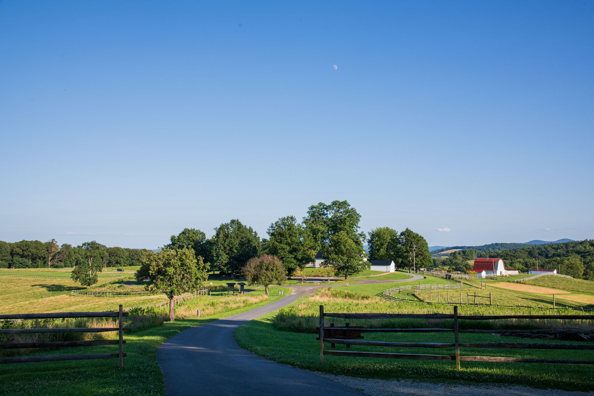
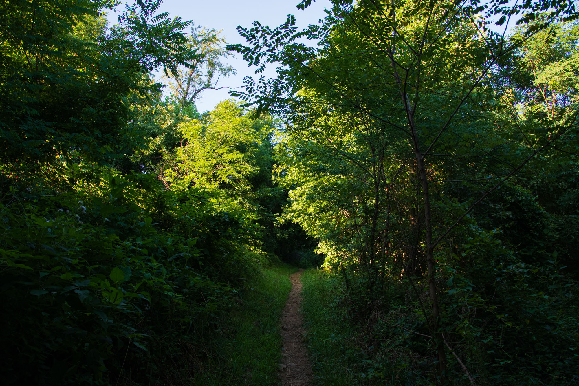
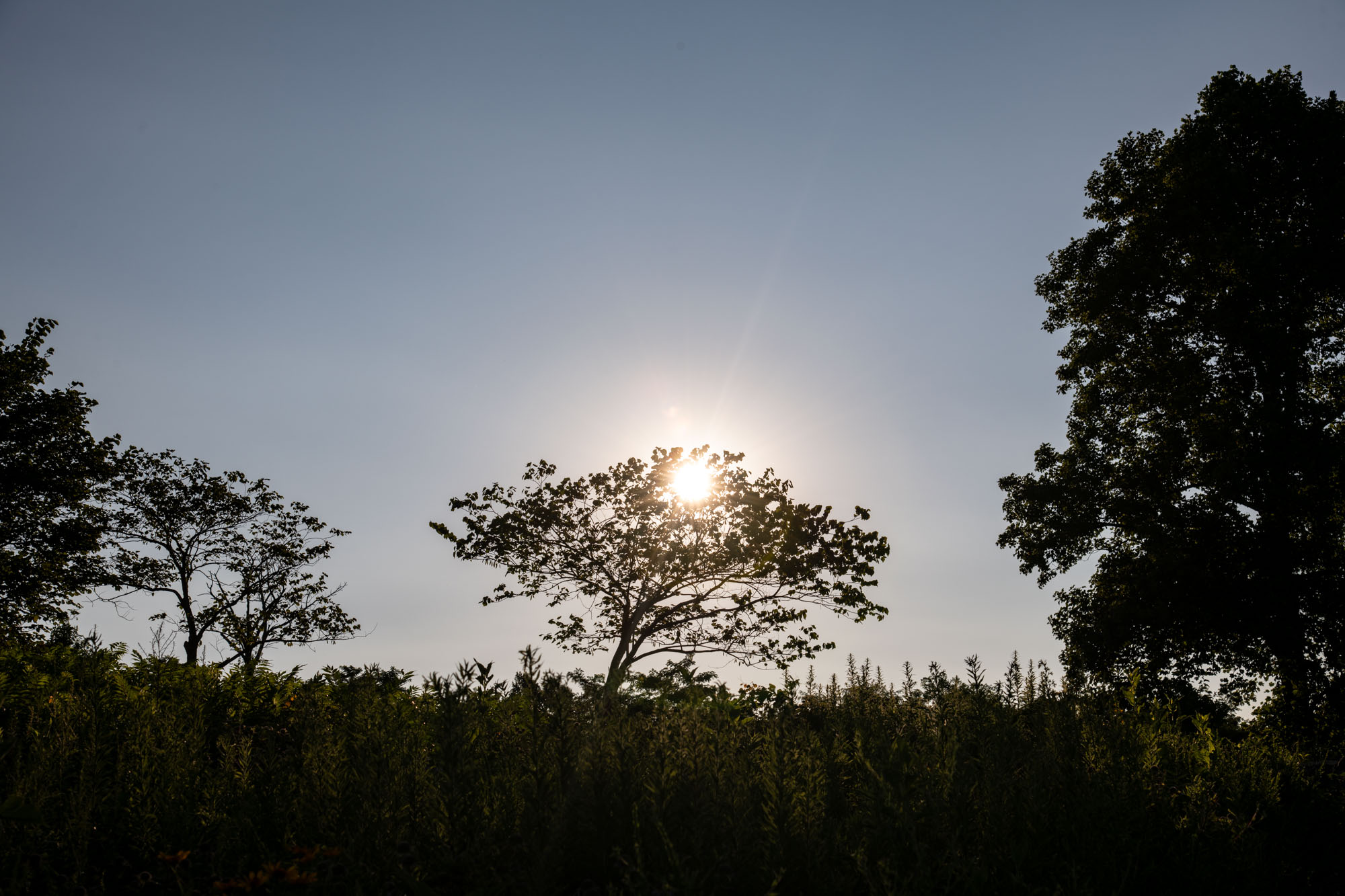
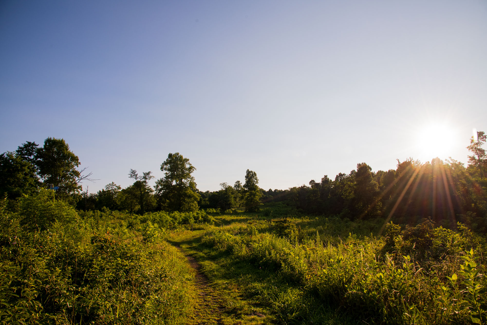
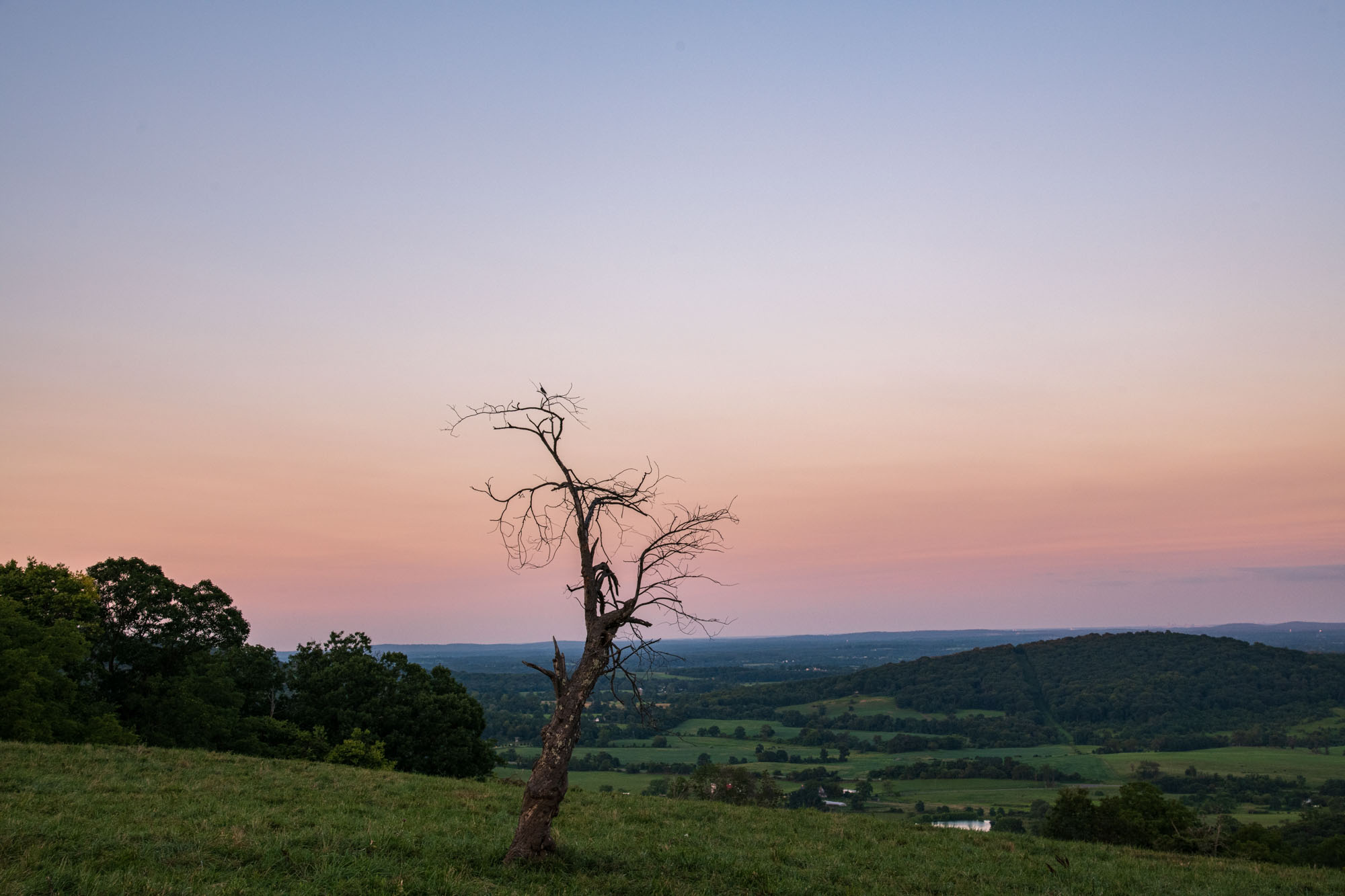
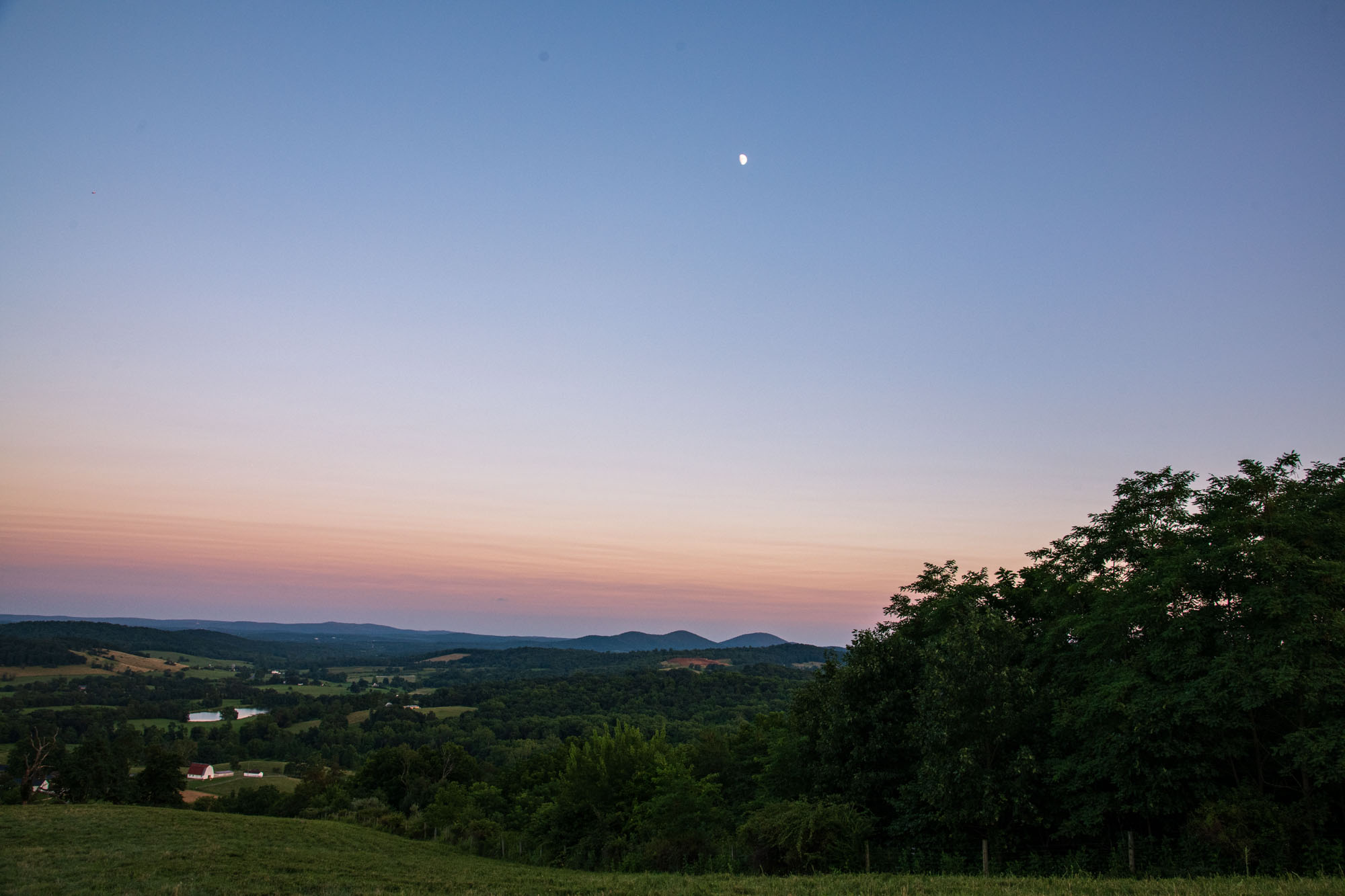
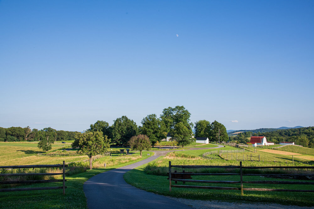
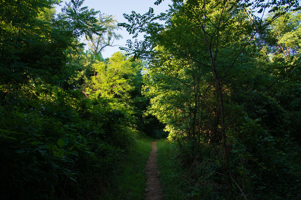
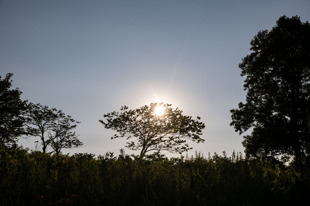
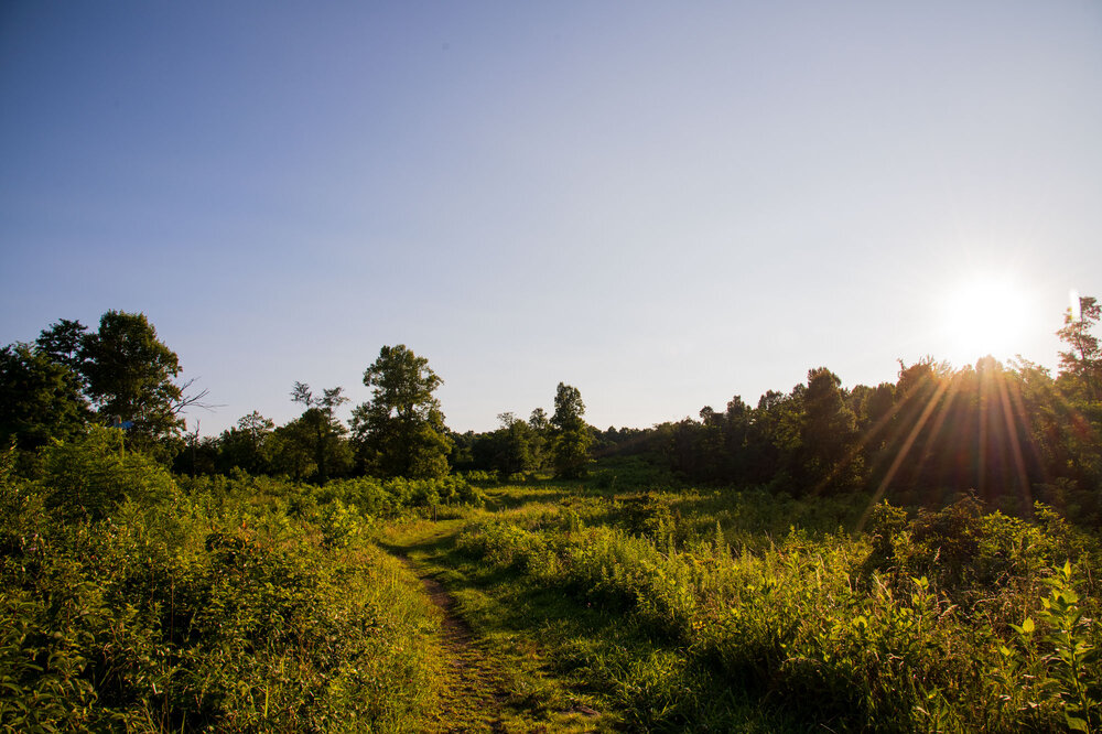
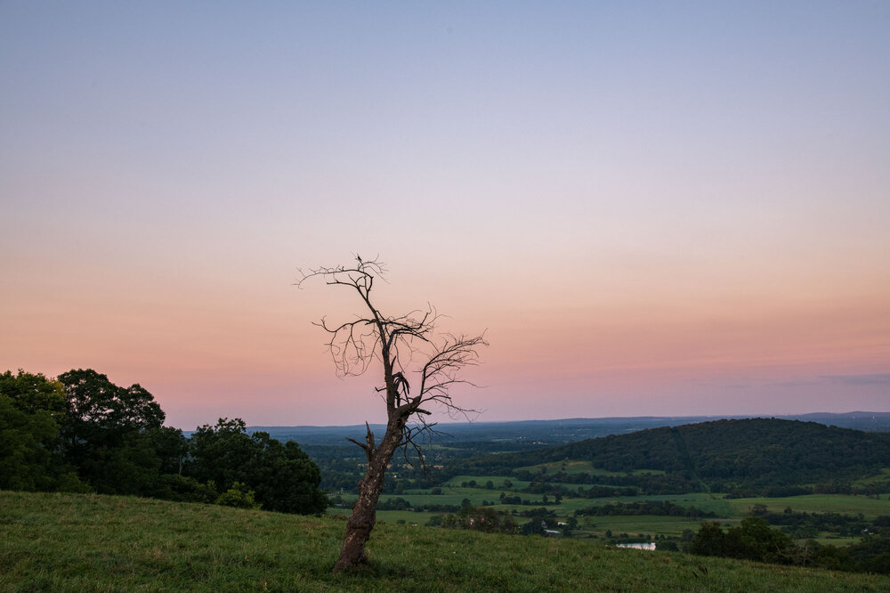
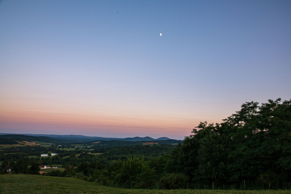
Took advantage of the excellent weather yesterday to hike sky meadows. Only an hour ride from NOVA and nearly a straight shot on 66 West. Wasn't expecting too much, but was blown away by the views it offered. Highly recommend to anyone wanting to go on a relatively easy escape into nature. Best part of course was the weather. Mid to low 70s in the forest with nice dewpoints too. Also had the moon as nice friend the whole hike!
-
 Western Atlantic ridge/Bermuda High backing up against the East Coast? Novice here… just speculation/guessing?! Gorgeous day down here in Phila. 84… might eke out 85 after a low of 65 this AM… DPs holding in the mid 50’s.
 -
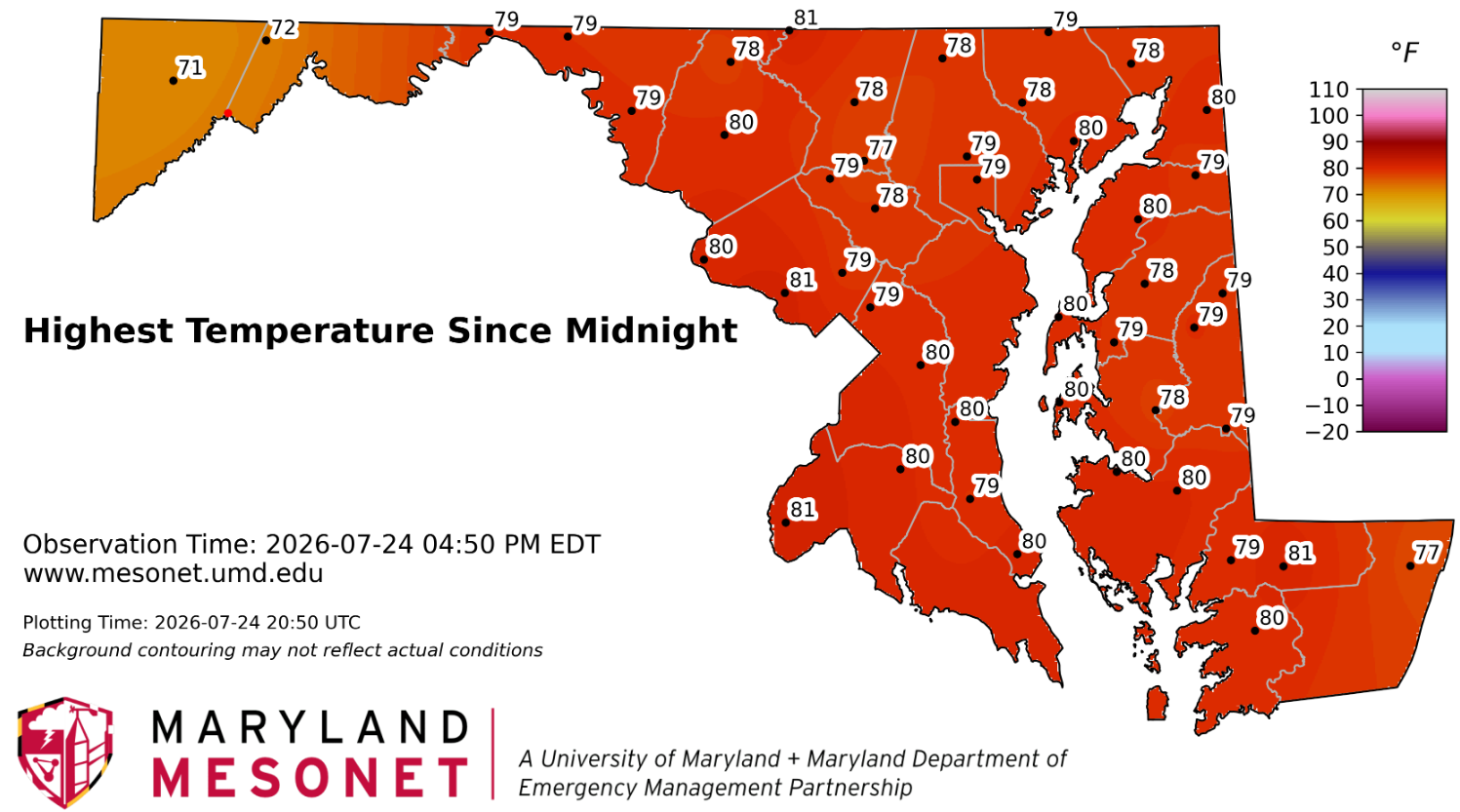
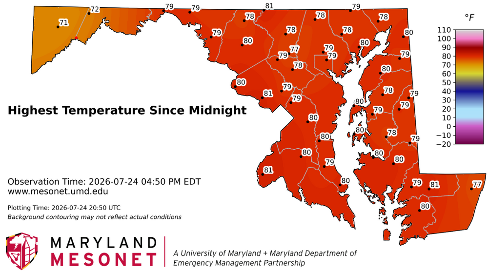
Quite impressive that most areas didn't get above 80. The high clouds staved it off.
-
Central PA Summer 2026 Discussion/Obs Thread
Yardstickgozinya replied to Voyager's topic in Upstate New York/Pennsylvania
I ment biotic and contagious. -
High of 78 Currently 77 with a DP of 57 Gimmie this for the next month.
-
Central PA Summer 2026 Discussion/Obs Thread
Yardstickgozinya replied to Voyager's topic in Upstate New York/Pennsylvania
@Mount Joy Snowman It is a biotic and infectious tree disease that mainly affects conifers, but it can also spread the hardwoods but apparently it rarely kills hardwoods. Calling in a arborist to be safe, probably wouldn't be a bad idea.