All Activity
- Past hour
-

Monday, August 31 - Thursday, September 3, 2026 Convective Episodes
weatherwiz replied to weatherwiz's topic in New England
I find it odd that we can't develop storms tomorrow afternoon. NAM actually swings some decent s/w energy through during peak heating. NAM actually develops QPF between 18z-21z into western sections and then it goes poof. -
Pesky omega block. Those things do not let up unless they are torn apart somehow. Delayed start to fall for those of us to our south and west. We appear to be on the fringe of it and thus will be only slightly AN.
-

2026-2027 Record-breaking El Nino
LakePaste25 replied to Stormchaserchuck1's topic in Weather Forecasting and Discussion
1+2 has been marching back upward and the 20C isotherm in the subsurface itself has still been pressing deeper in the 1+2 region (i can’t show the GIF here due to file size limits), so if anything it’s been getting even more east-based despite Nino 3.4 flattening. I am keeping an eye out for a sudden jump in 3.4 because of this.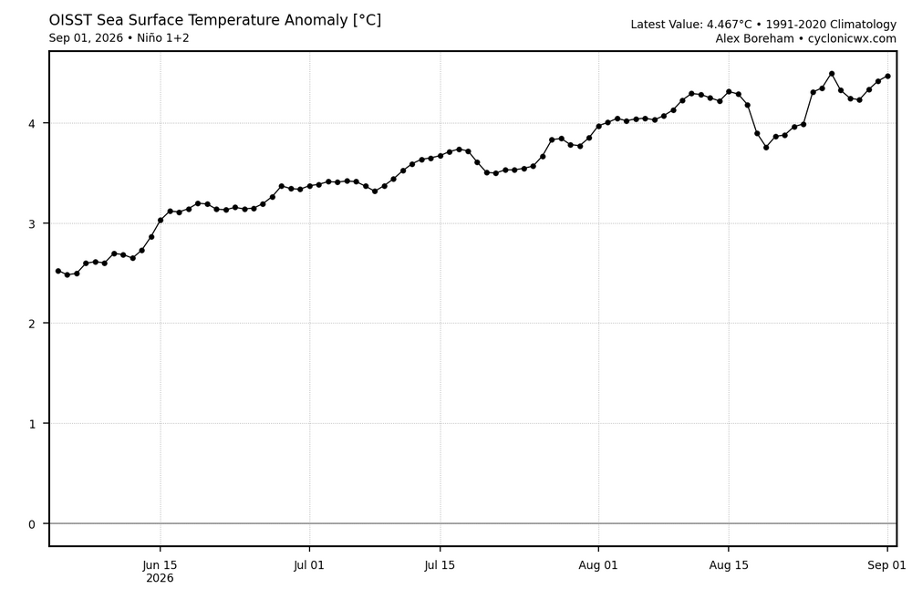
-
There were very frequent and long 3-4 second flashes last night, and then some positive CG with the loud thunder today as well. Over an inch of rain past 24 hours.
-
It's September 2. Let's not make bold predictions this early into September.
-
1.30"
-

Central PA Summer 2026 Discussion/Obs Thread
Elim72 replied to Voyager's topic in Upstate New York/Pennsylvania
What are the models looking like for this evening? -
.22" here, and some decent thunder and lightning
-

Septorcher 2026 Discussion - Endless Summer
CoastalWx replied to Damage In Tolland's topic in New England
Models trying to stein -

Central PA Summer 2026 Discussion/Obs Thread
canderson replied to Voyager's topic in Upstate New York/Pennsylvania
.8” rain from this late morning / early afternoon storms. So 1.45” or so within 14 hours. Not bad. -
Would also match the monthly record high minimum, set 4 times (all from the old city station, with the last date in 1922). 77F is the highest at ORD (9/10/2013).
-
I think we tied a record high min today @ORD 78. @Chicago Storm As long as we don’t dip below 78 before midnight tonight we should tie it.
-
ORD tied a record high min today of 78. Should hold I don’t think we dip below 80 by midnight tonight.
-
 Yeah.. better models don't really show it. 30 days until the correlation increases by 3-4x!
 -
Looks like September will end up being the hottest summer month for TX/OK.
-

Texas 2026 Discussion/Observations
MarcmmKU replied to Stx_Thunder's topic in Central/Western States
Not at all my area, (but it does indirectly affect our weather), but when do you think the huge ridge over the southern plains/southeast will let up? -

Monday, August 31 - Thursday, September 3, 2026 Convective Episodes
Cyclone-68 replied to weatherwiz's topic in New England
That marginal line runs through Braintree and Weymouth. Figures..The summer of FU continues -
Both Detroit and Chicago have reached at least 96F, possibly 97F. Believe it or not, that's the hottest September reading at Chicago since 1985. Much more recent at DTW - 98F in 2011.
-
Thanks! They don't have SST so I will still have to find something for May-Sept N. Atlantic SSTA index. Here's that arctic -H5 for the warm season this year 90N.. just where my reverse correlation for the Winter is the highest. Expect 90N H5 ridging for the DJFM mean.
-
Thanks!
-
Well in the Deep south +2-7F occurred in August and the model at a 0.0 month lead had ~0F. Denver verified +4F vs the models -3F.
-
It's interesting because it seems to be effecting the Southern Hemisphere. October is the start of big wavelength correlations, so it will be so interesting to see what happens in about a month! If the -H5 doesn't form over the N. Pacific, score a big one for the PDO.
-
Found this interesting
-
I doubt it given the limited scope, maybe different if the band had parked over a major city
-
I've been traumatized by this ridge in the SW, US/Rockies for the past 1 year. There are +6F anomalies for the whole 12 months! Also looking at global temperature every day, it really has gone warm lately. France has also seen 5 record breaking heat waves this Summer. We can do a cold pattern in the Winter, but I don't know that the upper latitudes (blocking potential) won't be squeezed out by El Nino or the -PDO/whatever the global pattern is in the Pacific. Fairbanks, Alaska was 1F away from their lowest Summer max temp all time, and I ran those analogs forward to find out they go +EPO in Winter.