All Activity
- Past hour
-
It’s been pretty cold over the last week to 10 days, but it’s been a regular cold January up here. There’s just been long streaks of BN, AN, and BN again. I think Jan will end up -2 to -3 up here and that’s with 91-20 normals.
-

Arctic Hounds Unleashed: Long Duration Late January Cold Snap
rimetree replied to WxWatcher007's topic in New England
-5.4F. Coldest of the season. -

February 2026 Medium/ Long Range Discussion: Buckle Up!
frd replied to Weather Will's topic in Mid Atlantic
-

The “I bring the mojo” Jan 30-Feb 1 potential winter storm
Coach McGuirk replied to lilj4425's topic in Southeastern States
This is going to be a huge bust of a storm. -
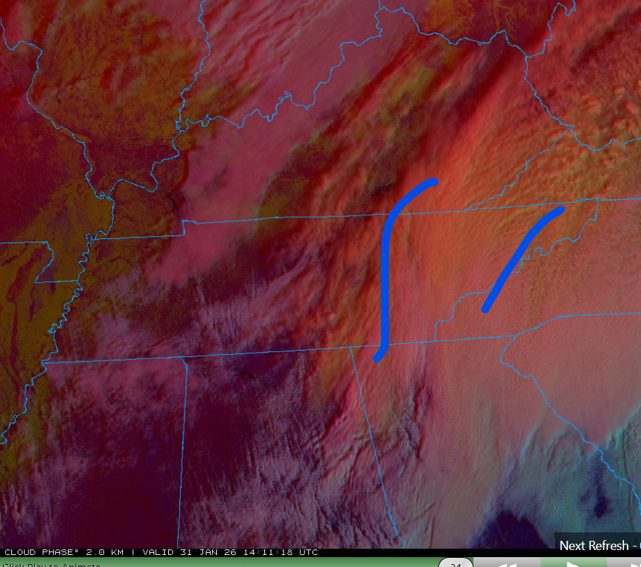
Seems like almost everyone overachieved last night. MRX just posted additional snowfall forecast and it's over on the OBS thread. Forecast wise.. Northeast Tennessee might only be around the 3rd quarter - far from winding down. See baroclinic leaf like feature. I was expecting just a lumbering cold core by morning. Instead, the system is still going. Then NW flow and upslope areas might only be at halftime. This is gonna go all night there. Then the true Mountains (Smokies and Southern Apps) should still have snow showers Sunday morning. Southeast Tennessee will probably wind down to snow showers and flurries by midday. Signal Mountain should keep going with quality snow showers most of the day. Points north (Flattop Mtn. Cumberland plateau) should do even better.

-

January 30th- Feb 1st ULL and coastal storm obs
mryanwilkes replied to JoshM's topic in Southeastern States
Chapin. Lake Murray, SC. It’s 9:25 and we’ve had about 5 flakes. -
February 2026 Medium/ Long Range Discussion: Buckle Up!
frd replied to Weather Will's topic in Mid Atlantic
As you stated, signs of some STJ in this period possibly. -
Well, I’m thinking specifically our town… We have those cross country high tension, powerlines coming into here in a massive substation. That’s what service is this town and in fact this region. But it’s a moot point anyway because the outage map is not the whole town. It’s just my neighborhood and the neighborhood next to mine so the neighbor was wrong lol The upside of that as it can’t take longer to return this or reset it
-

January 30th- Feb 1st ULL and coastal storm obs
gman replied to JoshM's topic in Southeastern States
I am looking at the radar/satellite combo for the Upstate. Am I seeing things? It looks like a convective circulation over central Spartanburg County. Is that the ULL? -

January 30th- Feb 1st ULL and coastal storm obs
WinstonSalemArlington replied to JoshM's topic in Southeastern States
Mount Airy and Surry County are getting rocked -

The “I bring the mojo” Jan 30-Feb 1 potential winter storm
lilj4425 replied to lilj4425's topic in Southeastern States
HRRR even giving some love to Raleigh now. It was bone dry before. -

January 30th- Feb 1st ULL and coastal storm obs
CentralNC replied to JoshM's topic in Southeastern States
Not in Lewisville. Barely a flurry currently at 9:20 -
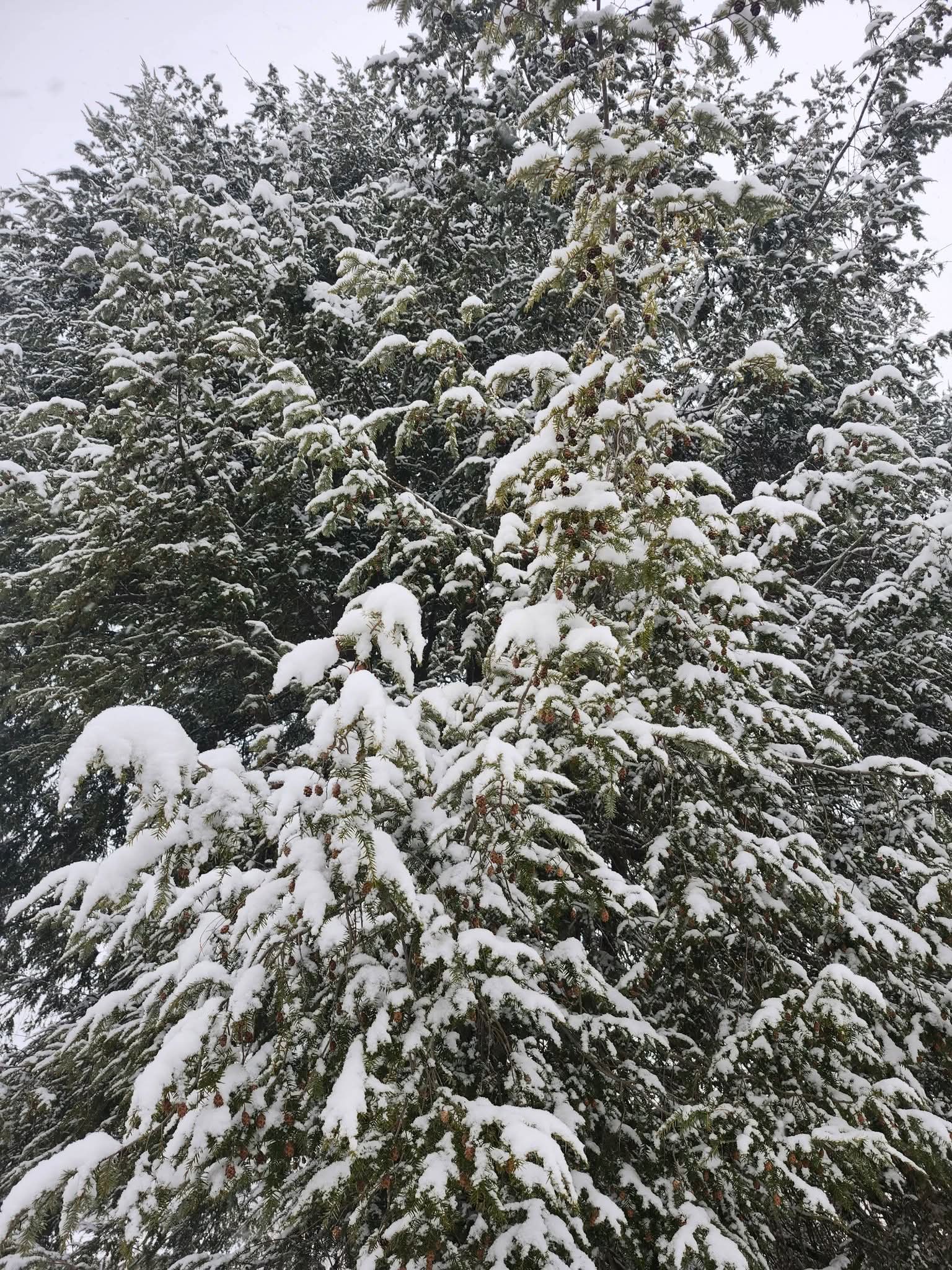
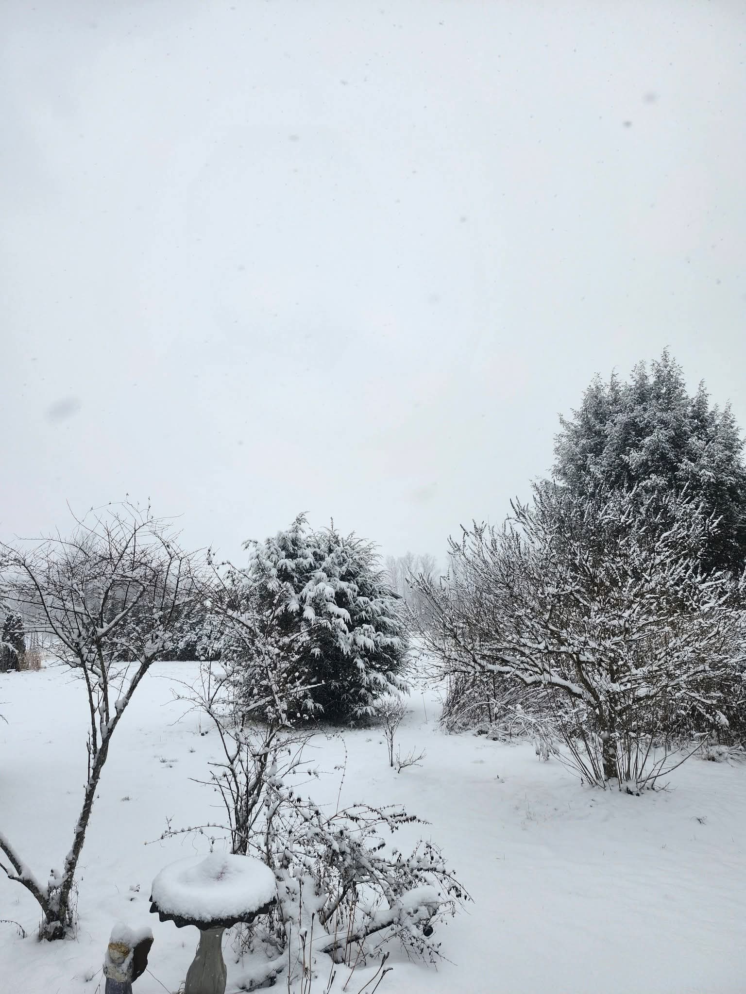
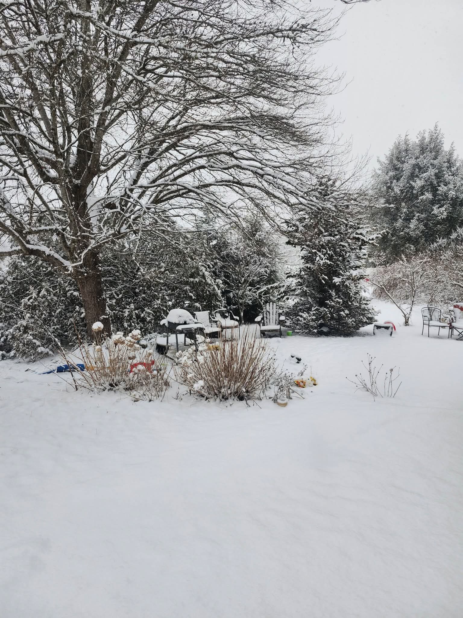
The snow is so light and fluffy, it falls through the board cracks on the deck. Wow.
-
I’m actually standing here with the sun shining through the south window on my upper torso and it’s remarkably warm Yeah… I think it’s safe to say I’m pretty much done with this winter. Between coastal storms that have no excuse or explicit Bility and missing the region to unrelenting cold when the rest of the planet is still above normal… Although I guess we did have the one storm so it’s not a total waste of experience. But anyway, I don’t think it’s worth it… We’ll see if these phantom storms out there can finally penetrate through the ludicrous speed of the hemisphere and actually happen for a change
-
Just depends on where it is in the system. Sure it can.
-
The “I bring the mojo” Jan 30-Feb 1 potential winter storm
UpstateSCBud replied to lilj4425's topic in Southeastern States
Can someone post totals from the 3k NAM? -
Had some lighter rates earlier but now back to moderate snow. Temp dropping still. Down to 12 degrees.
-
The HRRR not on board. But it still isn’t initializing correctly and starts out showing no snow in State of NC. The regular NAM (whatever the hell it is) show more moisture on the ground currently when it initializes and has held steady with 10” max in Wake Co. I think that’s a stretch but it’s a sign.
-
As soon as it gets to the border the dry air is having a feast, lol
-

The “I bring the mojo” Jan 30-Feb 1 potential winter storm
sinterpol replied to lilj4425's topic in Southeastern States
Congrats! I graduated from Daniel in 2000. My father taught ROTC at Clemson from 96-99. -
Man thats terrible. If this is common - it is here somewhat - go get a predator 5000 watt inverter generator at harbor freight if you can swing it. Or even the smaller 3500 watt one. It will bail you out of a critical situation.
-

Central PA Winter 25/26 Discussion and Obs
Blizzard of 93 replied to MAG5035's topic in Upstate New York/Pennsylvania
Ensembles all look active with Winter Storm chances from later this week through the end of their 15 or 16 day runs. -
January 30th- Feb 1st ULL and coastal storm obs
WinstonSalemArlington replied to JoshM's topic in Southeastern States
Heavier snow is now entering southwest Forsyth County, Clemons, and Winston-Salem -

The “I bring the mojo” Jan 30-Feb 1 potential winter storm
Isopycnic replied to lilj4425's topic in Southeastern States
Riding the NAM!