All Activity
- Past hour
-
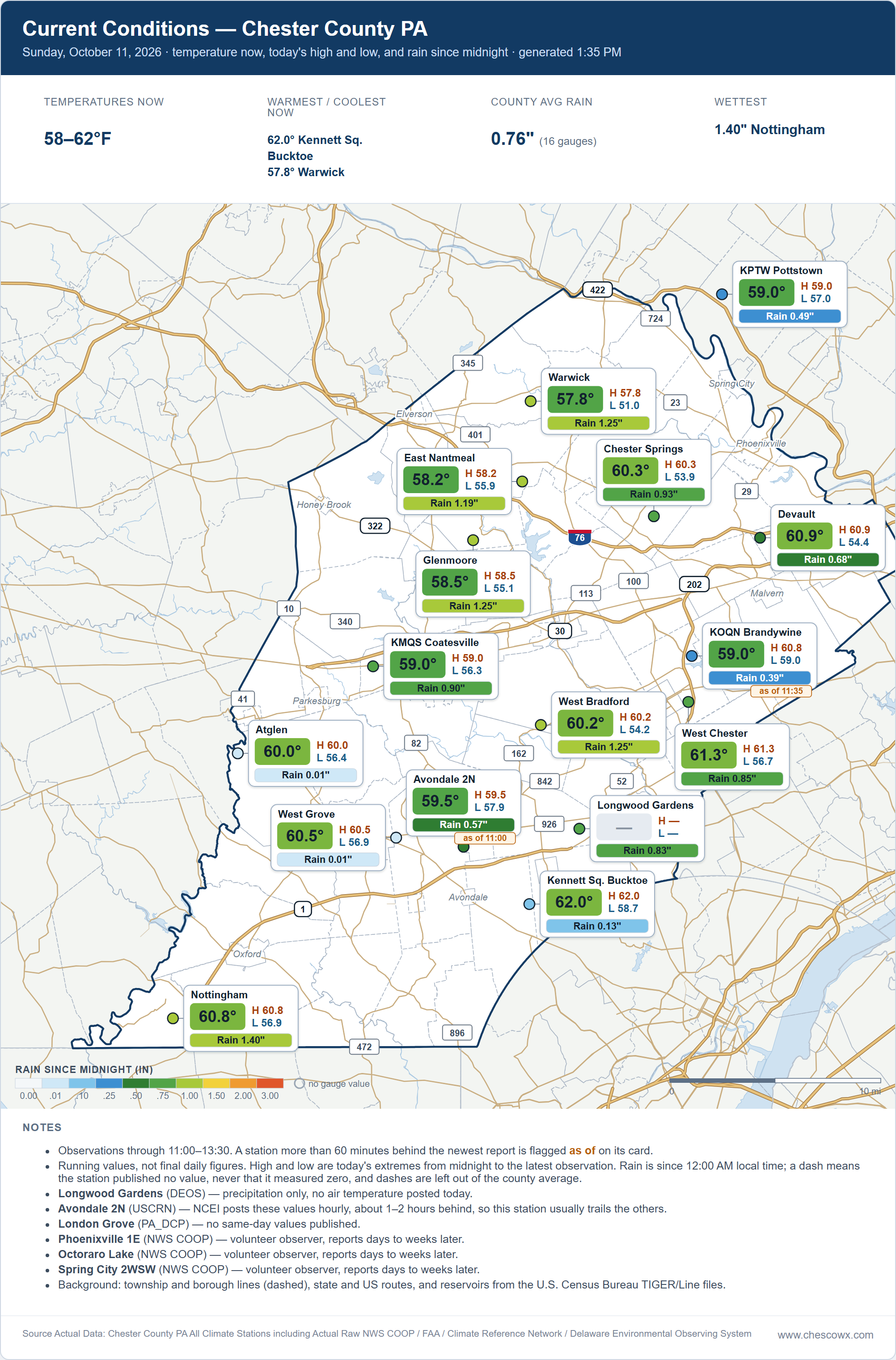
2.15 so far
-
Yes new england and nj/ny has been basically the only part of the country to not be a complete torch since march. most of that is due to certain days with suppressed highs due to all the storms. The overnight lows have been torching.
-
Up to 2.10" now. Probably the best all day, much need soaker we've had in months. Thank you Hurricane Isaias!
-
2.4" on the dot
-
2.55". The best rain in a long long time. From mid-day Friday, the physics GFS was the most accurate at 2.46". The ECMWF physics was way low at 1.35". The GEM physics predicted 1.50" at mid day Friday.
-
Dick Tolleris
-
Might be a double digit TOR day for NC but thankfully most are brief though the PDS one was obviously concerning
-
Definitely some heavy rain inland on the E upslope flow.
-
I have gotten 2.06 inches so far here in sparrows point Md..Rain is a lot lighter now
-
That was about a mile from me. It was def rain wrapped when it came through here. Rainfall was so intense. Sun is out now
-
.7” and counting. Lit the wood stove for the first time this season.
-
 Toprol xl dosage guidelines: metocardiorx - Lopressor side effects list
 -
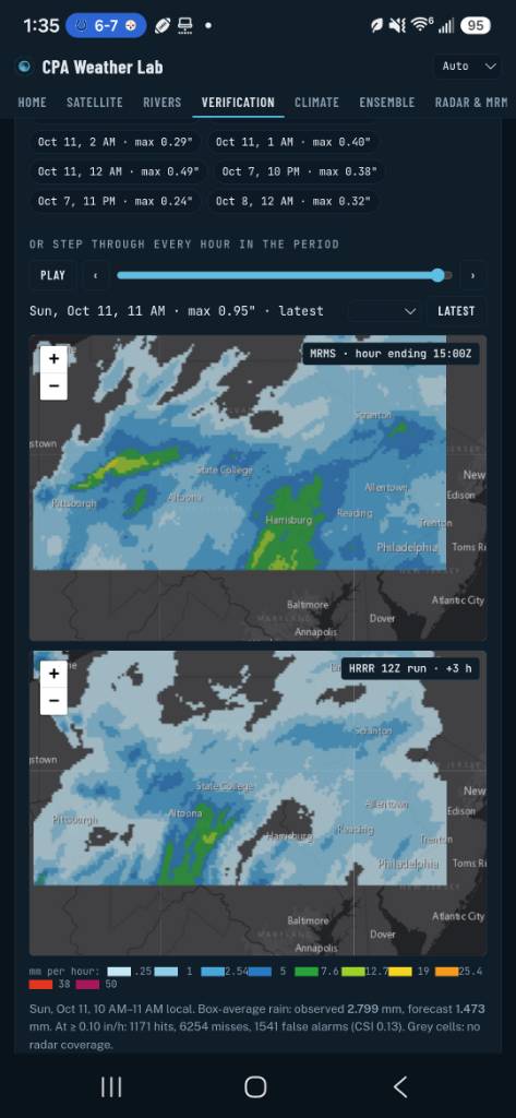
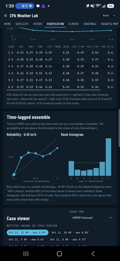
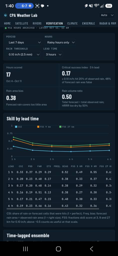
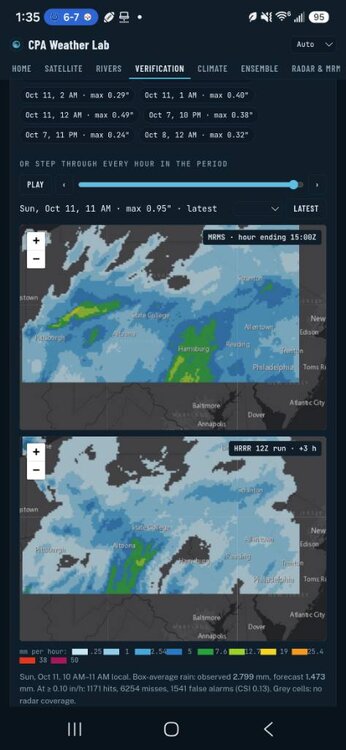
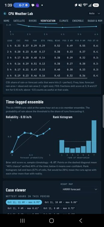
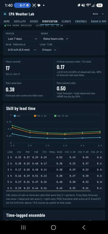
the hrrr is getting absolutely wrecked Sent from my SM-S731U using Tapatalk
-
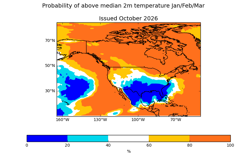
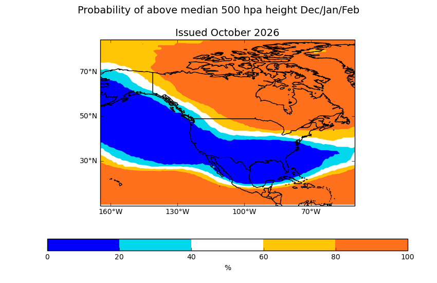
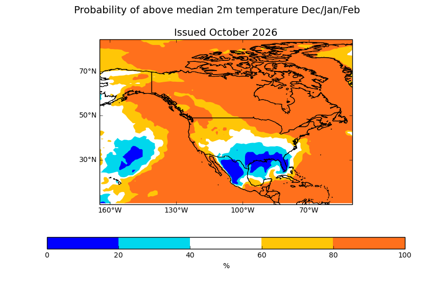
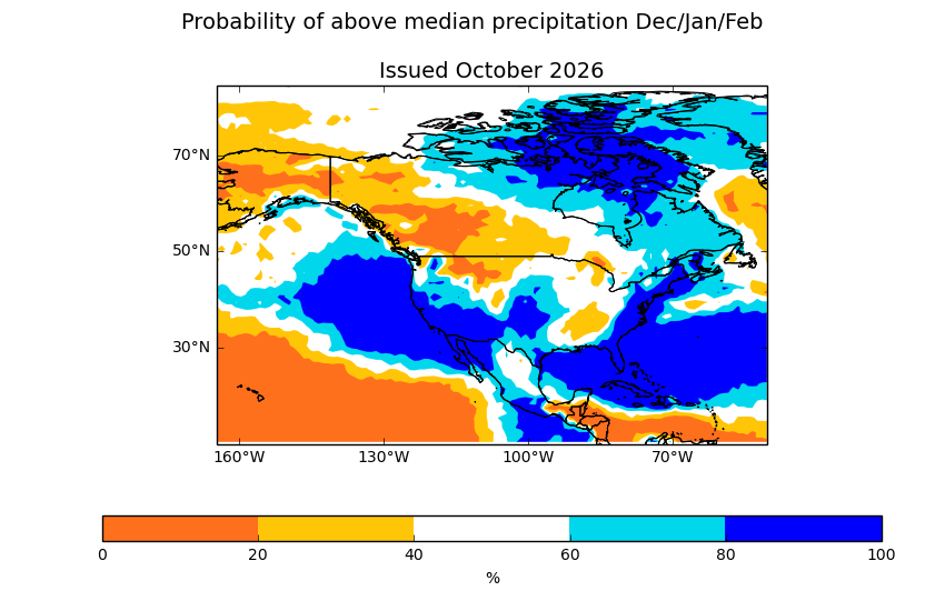
UKMET Update DJF 500mb 2m Temp Precip JFM 2m Temps
-
2.85" and still raining.
-
Radar debris signature....Touchdown SW of Louisburg
-
(002).thumb.png.6e3d9d46bca5fe41aab7a74871dd8af8.png)
E PA/NJ/DE Autumn 2026 Obs/Discussion
ChescoWx replied to PhiEaglesfan712's topic in Philadelphia Region
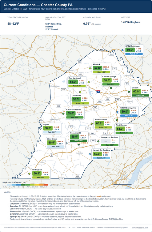
-
Meanwhile, the remnants of Isaias are directly responsible for tornadoes today in NC, including a damaging one in Fayetteville and several others in the Triangle region! This is serious stuff and is the 2nd day in a row of this.
-
Storm looks to be cycling SW of louisburg
-
1.9” so far
-
The rain seems to be mixing with and changing to leaves.
-
2.54". That may be it for now, at least.
-
Think it was that Memorial Day weekend event?
-
There have been at least 4 different confirmed tornadoes in NC so far
-
new confirmed tornado Wake NC-Johnston NC- 129 PM EDT Sun Oct 11 2026 ...A TORNADO WARNING REMAINS IN EFFECT UNTIL 200 PM EDT FOR EAST CENTRAL WAKE AND NORTHEASTERN JOHNSTON COUNTIES... At 129 PM EDT, a confirmed tornado was located 7 miles south of Zebulon, or 13 miles north of Smithfield, moving northeast at 35 mph. HAZARD...Damaging tornado. SOURCE...Radar confirmed tornado.