All Activity
- Past hour
-
CC says it's sleet
-
Interesting. Sept 1881 is the hottest on record at Detroit. Heavy rain did fall on 9/16, 1.38", with a high of 72F.
-

September 2025 OBS-Discussion centered NYC subforum
Brian5671 replied to wdrag's topic in New York City Metro
looks like a tropical or subtropical storm off the VA capes -

September 2025 OBS-Discussion centered NYC subforum
donsutherland1 replied to wdrag's topic in New York City Metro
A strong nor'easter was bringing gusty winds and heavy rain to parts of the Middle Atlantic region late this afternoon. Through 4 pm, Norfolk had picked up 2.14" of rain. The wind has gusted to 44 mph there. This storm will bring some showers and periods of rain tomorrow into Thursday. The Delmarva and Jersey Shore will see the heaviest amounts. There, 1.00" or above amounts are likely. The temperature will top out in the upper 60s to lower 70s tomorrow. Readings will likely return to the upper 70s on Thursday and the lower 80s on Friday. Cooler air will return for the weekend. The ENSO Region 1+2 anomaly was -0.2°C and the Region 3.4 anomaly was -0.5°C for the week centered around September 10. For the past six weeks, the ENSO Region 1+2 anomaly has averaged +0.10°C and the ENSO Region 3.4 anomaly has averaged -0.37°C. La Niña conditions will likely develop during mid- or late-autumn. The SOI was -2.20 yesterday. The preliminary Arctic Oscillation (AO) was -1.002 today. Based on sensitivity analysis applied to the latest guidance, there is an implied near 56% probability that New York City will have a cooler than normal September (1991-2020 normal). September will likely finish with a mean temperature near 68.9° (0.3° below normal). Supplemental Information: The projected mean would be 0.9° above the 1981-2010 normal monthly value. -
We haven’t had any winter analogs in the last 10 years which matched anything prior to the 2015-2016 global temperature jump. So that would be the main reason that 2013-2014 analog would be unlikely in this much warmer climate. We saw the same effect following the smaller jump in global temperatures in 1997-1998. Since we are yet too see a 1993-1994 or 1995-1996 repeat in the years which followed. Same goes for a replay of the 1976-1977 and 1978-1979 winters after a smaller global temperature rise in 1983. So each new global temperature jump has prevented earlier analogs from before the jumps from occurring again.
-
Up to 0.3” at DCA. Some good amounts up over .75” east of the Bay.
-
Borderline pouring in Greenbelt. Hoping that big orange blob holds together for Columbia.
-
She'll probably need to go at least 3 times before it's worth it. If it's that far it's a harder call IMO. Ellen-only day tix can be had for cheap sometimes, especially weekdays
-
It's the cicadas. None to speak of around here.
-
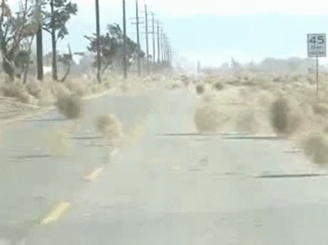
Looks like intensifying. Was this predicted?
-
I hope you had earmuffs and gloves as well.
-
Decent rain in silver spring since around 2pm.
-

2025 Atlantic Hurricane Season
WxWatcher007 replied to BarryStantonGBP's topic in Tropical Headquarters
Even though we have two highlighted areas by the NHC, the basin is definitely starting to wake up. It’s weak right now, but there is a signal on guidance for possible development off the SE coast from a wave or disturbance that ejects out of the Caribbean early next week, and a signal late month for a possible CAG, which better fits climatology than what models were previously showing with a CAG mid-September. There are still headwinds with wavebreaking induced shear, but it seems to me that activity will gradually pick up as TC climo shifts west. -
Narrator: it died on arrival
-
Yup, got a soaking on my ride home from work. Even closed my windows and turned the heat on when I got home. Lotta wind and rain. Hopefully a harbinger to the winter.
-
Looks tropical to me. It probably does have a warm core, given the time of year and location.
-
word. thanks. not really much of a cfs user but ... I'd have thought that'd be more first half tendency
-
Nope, non-tropical. It’s still attached to a frontal boundary.
-
Is this not a tropical system... it looks like an eye on radar just off the coast of VA.
-
NW zones:
-

September 2025 OBS-Discussion centered NYC subforum
bluewave replied to wdrag's topic in New York City Metro
Whether we get .10 or .50 most people probably won’t notice since it will be rain. Many times models are off by around .5 or more especially during the warm season when convection is involved. But everyone notices the difference between 1” and 5” when snow is involved. -
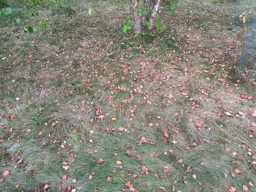
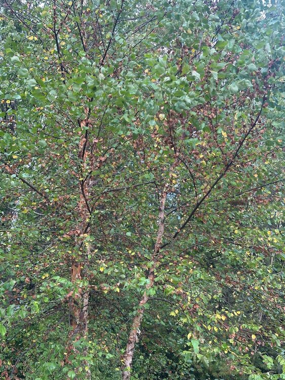
Lots of trees changing or just browning and defoliating. My pawpaws are mostly yellow and the river birch is half brown. At least the invasive buckthorn and oriental bittersweet are withering and dying.
- Today
-

Pittsburgh PA Fall 2025 Thread
Eskimo Joe replied to TheClimateChanger's topic in Upstate New York/Pennsylvania
-
-
Late season 90 achieved at MSP. The record of 94 appears to be safe but still a couple hours of warming to go.


