All Activity
- Past hour
-
Records: Highs: EWR: 93 (2002) NYC: 96 (1976) LGA: 91 (1976) JFK: 86 (2002) Lows: EWR: 32 (1943) NYC: 25 (1875) LGA: 35 (2014) JFK: 35 (2003) Historical: 1880 - More than two dozen tornadoes were reported from Kansas and Arkansas to Wisconsin and Michigan. More than 100 persons were killed, including 65 persons at Marshfield MO. (David Ludlum) 1896: New York City reported their earliest 90° reading on record. At the time until 1991. (Ref. Wilson Wx. History) 1906 - A severe earthquake shook San Francisco, and unusual easterly winds spread fires destroying the city. (David Ludlum) 1944 - California experienced its worst hailstorm of record. Damage mounted to two million dollars as two consecutive storms devastated the Sacramento Valley destroying the fruit crop. (The Weather Channel) 1957 - A dust devil near Dracut MA lifted a small child three feet into the air, and rolled two other children on the ground. Fortunately none of the three were hurt. The dust devil was accompanied by a loud whistling sound as it moved westward. (The Weather Channel) 1966: A major blizzard ravaged the northern Plains. Up to two feet of snow was reported in parts of South Dakota and 20 inches fell at Lander, WY. Sub-freezing temperatures caused thousands of dollars damage to fruit trees across Denver, CO. From this date through the 20th, low temperatures each morning were in the teens and failed to reach above freezing on the 19th. The low temperature of 13° on the 20th set a new record low for the date. Stapleton International Airport in Denver picked up 5.7 inches of snow during this period. (Ref. Wilson Wx. History) 1970 - Rapid City, SD, received a record 22 inches of snow in 24 hours. (17th-18th) (The Weather Channel) 1987 - Thirty-one cities in the central U.S. reported record high temperatures for the date, including International Falls MN with a reading of 88 degrees, and Bismarck ND with a high of 92 degrees. A sharp cold front produced high winds in the western U.S. Winds in Utah gusted to 99 mph at the Park City Angle Station, and capsized a boat on Utah Lake drowning four persons. (The National Weather Summary) (Storm Data) 1988 - Afternoon and evening thunderstorms produced large hail and damaging winds in the southeastern U.S. A strong (F-2) tornado severely damaged seventeen mobile homes near Bainbridge GA injuring three persons. (The National Weather Summary) (Storm Data) 1989 - Thunderstorms produced large hail and damaging winds in Texas, Oklahoma and Arkansas. A thunderstorm in Pecos County of southwest Texas produced wind gusts to 90 mph at Imperial. (Storm Data) (The National Weather Summary) 1990 - Heavy snow blanketed the west central valleys and southwest mountains of Colorado with up to 18 inches of snow. Nine cities from the Mid Mississippi Valley to the Middle Atlantic Coast Region reported record low temperatures for the date, including Fort Wayne IND with a reading of 23 degrees. (The National Weather Summary) (Storm Data) 2002: The heat wave continued across the east as high pressure off the Carolina blocked a frontal boundary across the Plains. Records for the date included: Newark, NJ: 93°, Islip, NY: 89°, Wallops Island, VA: 88°, Atlantic City, NJ: 87°, Bridgeport, CT: 85° and Buffalo, NY: 81°. (Ref. Wilson Wx. History)
-
It was actually a pretty mild week with a highs of 69 Monday, 76 Tuesday and 68 yesterday. It didn't really feel all that warm because those periods were brief as most of the time we were holding under 60F. 49F and breezy now.
-
-
63 / 52 clouds / marine layer quickly approaching in eastern flow. 60s today - 50s / rain / showers tomorrow. Cooler Mon - Tue. Moderation Wed near normal overall into next weekend and beyond.
-
High yesterday was 89. Low of 64.
-
Clouds pushing west and just about at the Nassau/Suffolk border now
- Today
-

Central PA Spring 2026 Discussion/Obs Thread
pawatch replied to Voyager's topic in Upstate New York/Pennsylvania
60 degrees this morning. Looks like some rain is coming this weekend followed by some cold.
-

Central PA Spring 2026 Discussion/Obs Thread
canderson replied to Voyager's topic in Upstate New York/Pennsylvania
Got down to a wonderful 55 overnight. Let’s hope the soaking overnight rain tonight comes to fruition. -
Made it to 83/84/83/71 lows were 48/50/51/47 no a/c required for this
-
Picked up 0.11” of precipitation yesterday. Frosty morning low of 30
-
Has the triangle in the jackpot zone so I know that map ain’t accurate
-
The big blue circles that appear quickly are absolutely ducting effects in general. But the bird signal tends to be buried in that noise because they aren't usually flying all that high off the ground and also because they roost at night and take off in the morning when the inversions are most pronounced. The reflectivity levels they produce are often pretty low because even though they are solid with a decent cross-section there aren't all that many of them (usually) in a volume of air compared to say droplets in moderate rain. Close to the radar where the measured volume sizes are smaller they'll be brighter. Also, the correlation coefficient is lower compared to rain based on the random orientation of their wings and asymmetric shape. Anyway I've met those guys and a few times I did get the sense that they were mistaking radar artifacts for birds but that would be the data in which you'd be looking for birds.
-
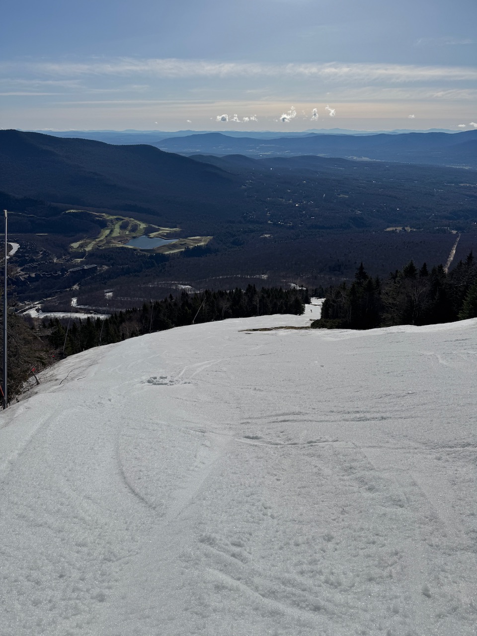
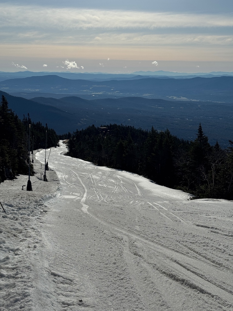
Wish I didn’t see that. A little morning sun was fun while it lasted.

-
What a morning.

-
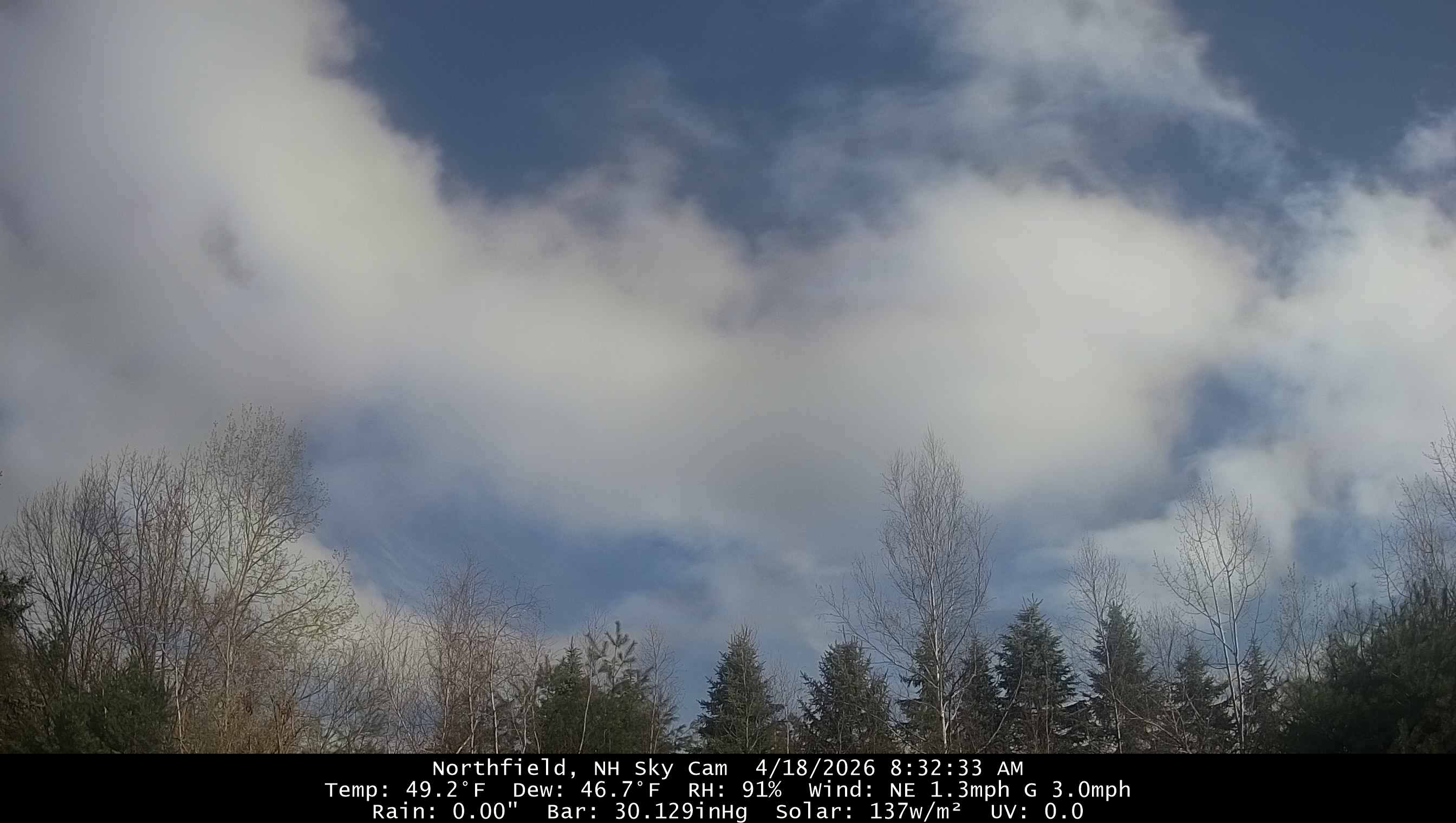
46° and drizzle clouds pushing westward
-
Sunny when I got up. Socked in now. 42F low.
-

2026-2027 El Nino
PhiEaglesfan712 replied to Stormchaserchuck1's topic in Weather Forecasting and Discussion
The only strong el ninos that didn't tip their hand early were 1986 and 2009. Super El Ninos (when they reached el nino threshold for good) 1972 - RONI MAM (0.8); ONI AMJ (0.7) 1982 - RONI MAM (0.6); ONI MAM (0.5) 1997 - RONI MAM (0.5); ONI AMJ (0.8) 2015 - RONI FMA (0.5); ONI SON 2014 (0.5) Strong El Ninos (when they reached el nino threshold for good) 1957 - RONI FMA (0.7); ONI MAM (0.7) 1965 - RONI AMJ (0.6); ONI AMJ (0.5) 1986 - RONI JAS (0.6); ONI ASO (0.7) 1991 - RONI AMJ (0.5); ONI AMJ (0.5) 2009 - RONI ASO (0.6); ONI JJA (0.5) 2023 - RONI JJA (0.6); ONI AMJ (0.6) -
I feel like Ray. 45° while CT sucks too feels better than 60° while it’s 85° down there.
-
Looks like the party is over in CT too. Shit weekend en route.
-
I got the 63 on Thursdaywith some sun. Yesterday if I recall correctly, it was near 60.
-
You will by tomorrow and next week I think-ugh
-

2026-2027 El Nino
bluewave replied to Stormchaserchuck1's topic in Weather Forecasting and Discussion
As we saw back in 2023-2024, the atmospheric response from the El Nino Ridge parked just north in Canada and the Northern Tier of the CONUS was one of the strongest on record. But the El Niño trough expression through the Aleutian Low and trough across the south to the Mid-Atlantic was much weaker than usual for such a strong Nino ridge which lead to the record warmth with that event. So even the ONI reaching 2.1 really didn’t do that event justice since it failed to incorporate the record Nino 4 +30C warm pool which was the warmest on record. You will notice that the MEI and SOI responses were also much weaker than usual for such a strong event. It will be interesting to see as this one develops whether the SOI, MEI, and RONI lag behind again. All I can say at this early juncture is that the WWB atmospheric component from March and April was much stronger than in 2023 near all time record values leading to the very impressive OKW beneath the surface. -
It is way too early for this shit.
-
Happy husband appreciation day everyone. Just letting everyone know so your loved one doesn’t inform you about it until 10pm.
-
Yeah, on the HRRR and NAM 3k everyone gets something, but the lower totals are around 0.05".