All Activity
- Past hour
-
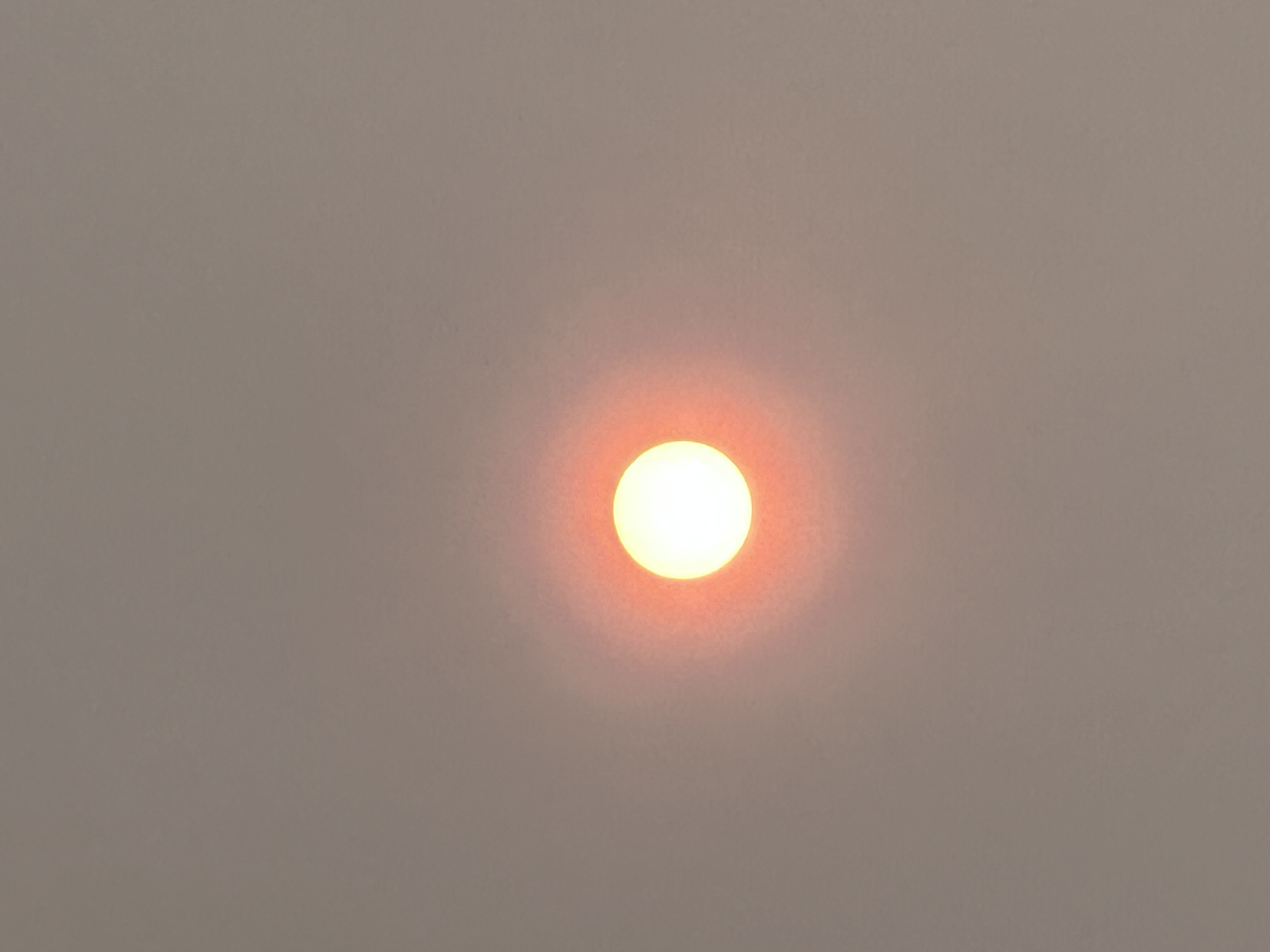
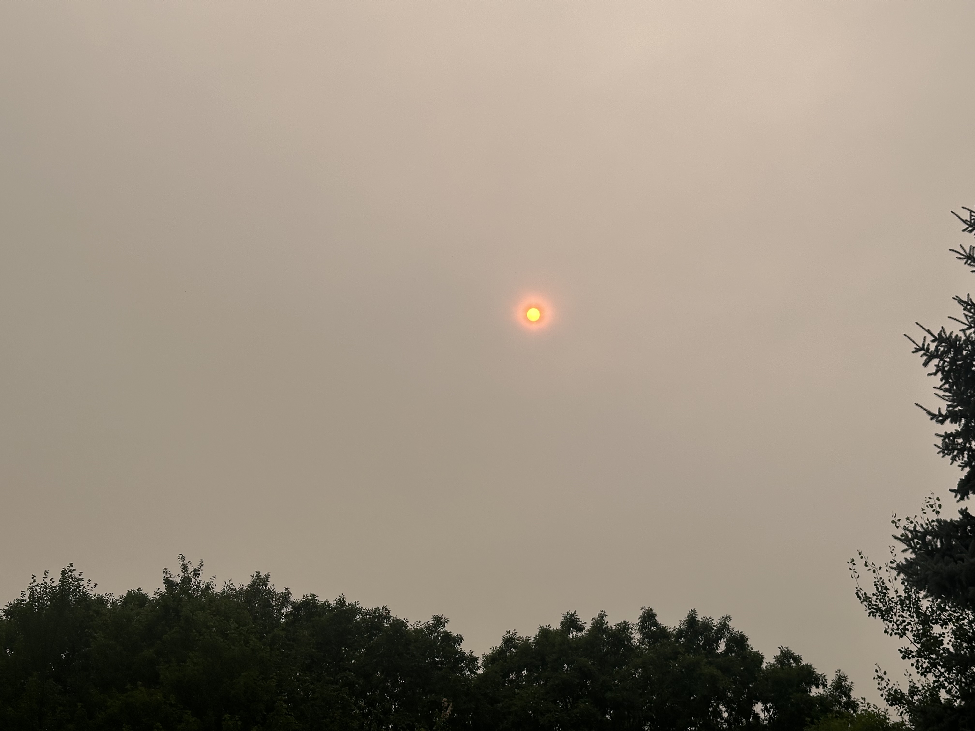
Because the source is so close, will be a nasty day with surface haze, and smell.
-
 Forecast 97, looks like 87 will do it: The wife and I were out earlier today and she points out some pumpkin spice something or other saying "Already?!" Get it early, get it often. Not sure it ever goes away!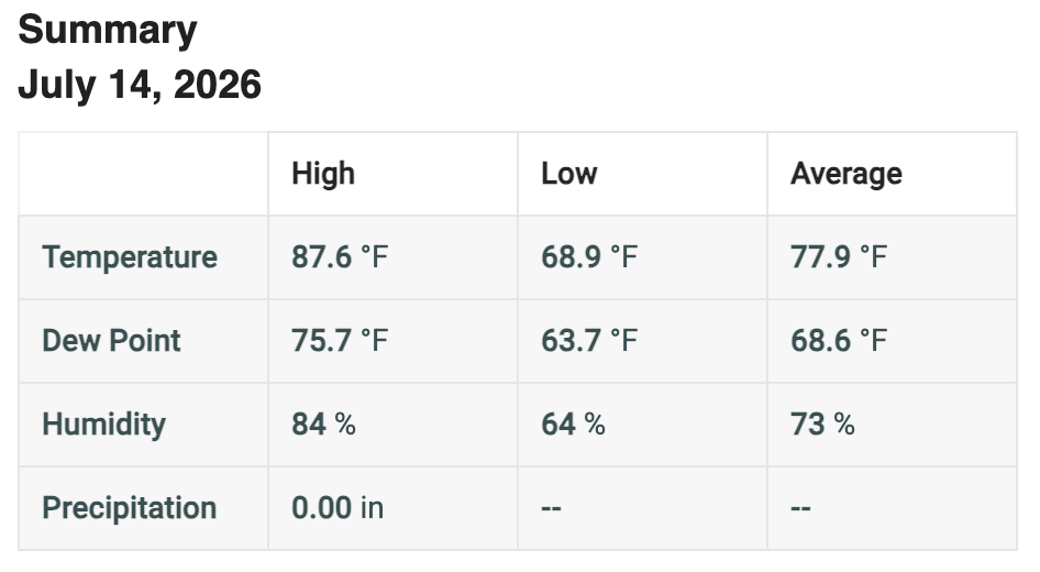
-
 “The lightning did most brightly rend the heavens that night.”
 -

E PA/NJ/DE Summer 2026 Obs/Discussion
RedSky replied to PhiEaglesfan712's topic in Philadelphia Region
Smoke alert Thursday is off the charts -
They are adding smoke to the forecast here as well. Said it might impact highs. We’ve had 4 consecutive 90+ highs and the record is 9.
-
I’ve exceeded 2” over the last hour, heaviest hourly rate of the summer so far, but it’s lightened up quite a bit although it hasn’t stopped. Drainage projects areas have both held up well so far and the street isn’t as bad as it had been before the nearby ditch was redug.Follow-up for SAV area flooding:455 PM EDT TUE JUL 14 2026 THE NATIONAL WEATHER SERVICE IN CHARLESTON HAS ISSUED A * FLASH FLOOD WARNING FOR... BRYAN COUNTY IN SOUTHEASTERN GEORGIA... CHATHAM COUNTY IN SOUTHEASTERN GEORGIA... * UNTIL 800 PM EDT. * AT 455 PM EDT, DOPPLER RADAR INDICATED THUNDERSTORMS PRODUCING HEAVY RAIN ACROSS THE WARNED AREA. BETWEEN 1.5 AND 2.5 INCHES OF RAIN HAVE FALLEN. ADDITIONAL RAINFALL AMOUNTS OF 1 TO 2 INCHES ARE POSSIBLE IN THE WARNED AREA. FLASH FLOODING IS ONGOING OR EXPECTED TO BEGIN SHORTLY. HAZARD...FLASH FLOODING CAUSED BY THUNDERSTORMS. SOURCE...RADAR INDICATED. IMPACT...FLASH FLOODING OF SMALL CREEKS AND STREAMS, URBAN AREAS, HIGHWAYS, STREETS AND UNDERPASSES AS WELL AS OTHER POOR DRAINAGE AND LOW-LYING AREAS. * SOME LOCATIONS THAT WILL EXPERIENCE FLASH FLOODING INCLUDE... POOLER, RICHMOND HILL, WINDSOR FOREST, HUNTER ARMY AIRFIELD, COFFEE BLUFF, MIDTOWN SAVANNAH, DOWNTOWN SAVANNAH, I-16/I-95 INTERCHANGE, HUTCHINSON ISLAND AND MONTGOMERY
-
Impressive heat. Highest in the month of July since 2012 at many sites, including Milwaukee and Flint. We will see if O'Hare can tick up to 97F and that would also be the case there. We have seen a couple of warmer episodes in August (perhaps June?), but this will be the hottest July temperatures in 14 years at a number of sites.
-
Temps are peaking now. 92/74/102. Highest dew of the stretch, and I can tell. Smoke, and mid to upper 80's tomorrow will feel reasonable with 80-85 the rest of the week. Lake influence will be a little stronger with the chance of stms for the end of the week.
-
 Yeah…there’s been some studies on it. https://www.researchgate.net/publication/277376102_Enhanced_Positive_Cloud-to-Ground_Lightning_in_Thunderstorms_Ingesting_Smoke_from_Fires
 -
 91 BDL We knew
 -
Wonder if we undercut our high temperatures with this smoke? Looks like some the the solar radiation readings in NE MD are dropping a tad due to the smoke/haze.
-
 Due to more particles suspended aloft?
 -
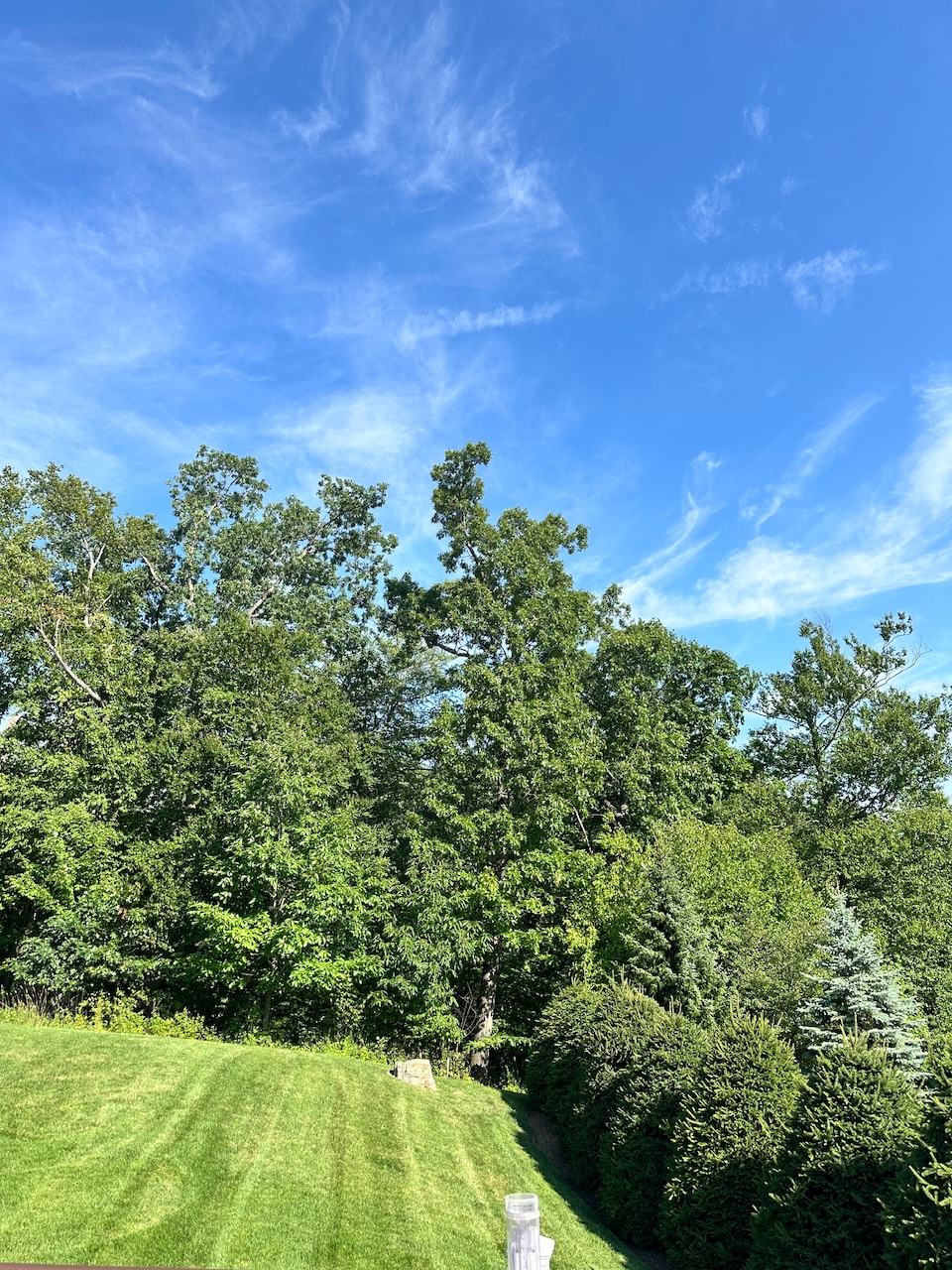
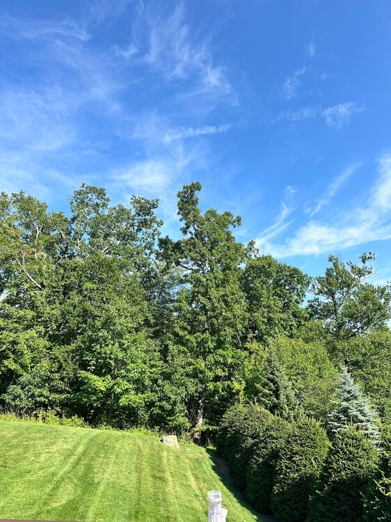
Much cleaner look to the sky up this way now. Mostly just some cirrus mixed with blue skies.
-
 89. We trying.
 -
Terrible. Glad he’s still here with us.
-

2026-2027 Super El Nino
snowman19 replied to Stormchaserchuck1's topic in Weather Forecasting and Discussion
Indeed. We are on the verge of easily surpassing 1997 in every aspect very soon…. -
101F/39C at downtown Toronto, Pearson cooler.
-
Not sure of its legitimacy, but I saw 105F in Big Bay. The next highest yoop numbers were a few 102s as you mentioned.
-
Wonder if the smoke will increase CG frequency and intensity. Let’s get a yore light show.
-
-
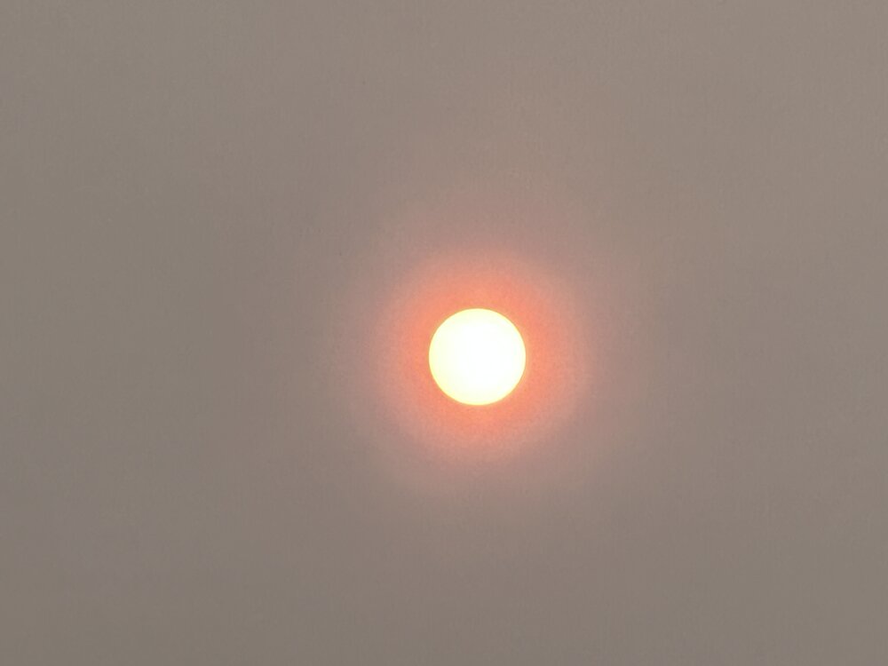
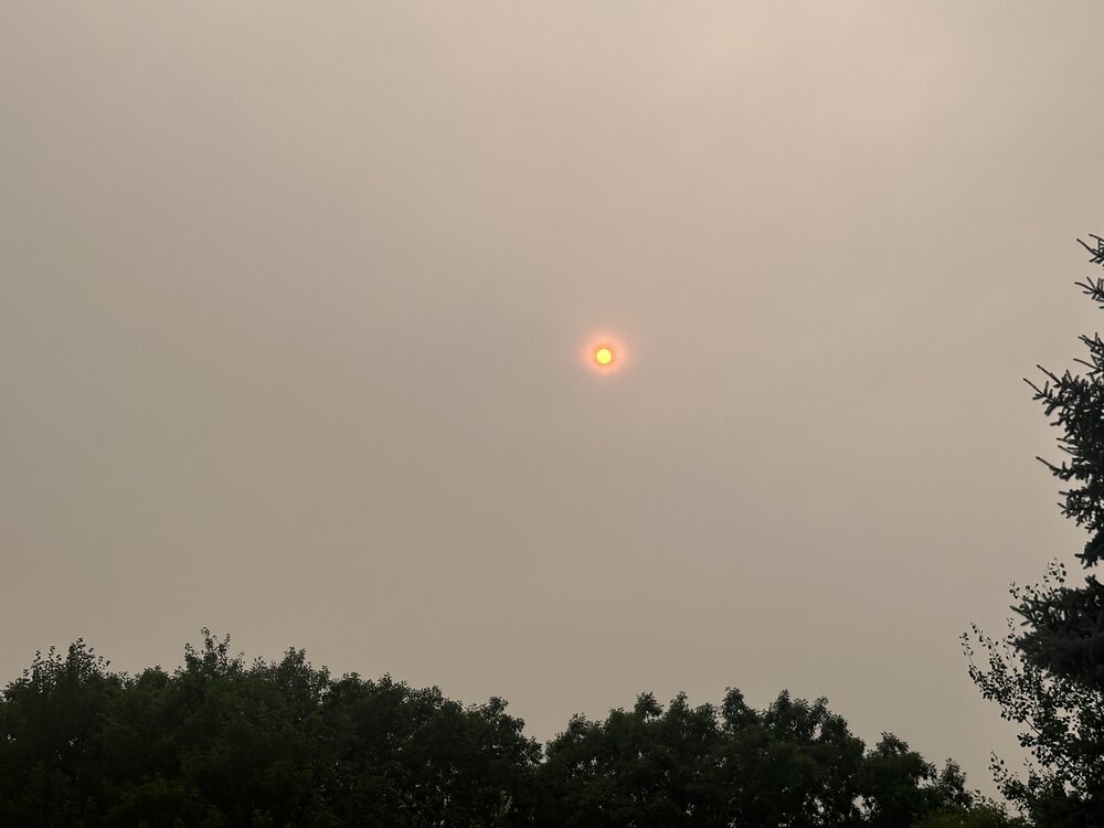
What a beaut
-

2026-2027 Super El Nino
michsnowfreak replied to Stormchaserchuck1's topic in Weather Forecasting and Discussion
Thats all good points. I feel like the excess moisture is a huge thing. The assumption that El Nino always means dry has been failing in recent years, especially with stronger Ninos. Really thinking we get some good wet paste storms this year. -
 Yawn.
Yawn. -

Central PA Summer 2026 Discussion/Obs Thread
Superstorm replied to Voyager's topic in Upstate New York/Pennsylvania
Smoke definitely held back temps today .