Powerball
-
Posts
14,270 -
Joined
-
Last visited
About Powerball

Recent Profile Visitors








-
A couple things. 1. This specific area has desperately needed rain as they've been dealing with a multi-year severe drought since at least 2022. It's just unfortunate that it came in the form of a historic flash food event. 2. There have been 56 confirmed deaths so far, and there's still 27 people missing. This is in part because the worst of the flooding occurred in the middle of the night.
-
The bolded is a huge exaggeration, lol. But Texas summers are like Michigan winters in that a lot of people are staying under the A/C or heat as much as they can.
-
I started to post exactly that in response, but yeah. You're spot on, lol... EDIT: Funny thing is, after 3 top 20 hottest Summers in a row before 2025, this Summer's looking to be more on the normal (if not cooler) side with no real heatwaves on the horizon for us. We still have yet to see our first 100*F+ day and should close out June without one.
-
To be fair, the bigger metros with UHI effect (Chicago, Detroit, St. Louis, Milwaukee, Pittsburgh, etc.) are also under Excessive Heat Warnings.
-

June 8 Southern Plains Severe Outbreak
Powerball replied to Powerball's topic in Central/Western States
https://x.com/NWSFortWorth/status/1931927067773358147?t=bWXphnTMAVFoFkuKJlcTlA&s=19 -
June 8 Southern Plains Severe Outbreak
Powerball replied to Powerball's topic in Central/Western States
At least in Collin / Denron Counties, there were numerous 60-70 MPH wind gusts, which any other day if not for all the hype would be a solid severe weather event. It is rapidly turning into a Flash Flood situation for DFW now. -
June 8 Southern Plains Severe Outbreak
Powerball replied to Powerball's topic in Central/Western States
Scenario #2 from FWD's AFD ended up panning out. -
June 8 Southern Plains Severe Outbreak
Powerball replied to Powerball's topic in Central/Western States
Just got the notification for a Destructive Wind Warning (80 MPH) here. -
June 8 Southern Plains Severe Outbreak
Powerball replied to Powerball's topic in Central/Western States
And the supercell down around Stephenville. It's producing massive anvil/outflow blowoff. -
June 8 Southern Plains Severe Outbreak
Powerball replied to Powerball's topic in Central/Western States
It kind of has, although coverage is not really widespread. -
June 8 Southern Plains Severe Outbreak
Powerball replied to Powerball's topic in Central/Western States
The showers moving east out of Jack County bear watching. They could potentially intensify to severe t'storms like the cells in Palo Pinto County, which would pose a problem for DFW. -
June 8 Southern Plains Severe Outbreak
Powerball replied to Powerball's topic in Central/Western States
Severe Thunderstorm Warning TXC363-082230- /O.NEW.KFWD.SV.W.0371.250608T2121Z-250608T2230Z/ BULLETIN - IMMEDIATE BROADCAST REQUESTED Severe Thunderstorm Warning National Weather Service Fort Worth TX 421 PM CDT Sun Jun 8 2025 The National Weather Service in Fort Worth has issued a * Severe Thunderstorm Warning for... Central Palo Pinto County in north central Texas... * Until 530 PM CDT. * At 421 PM CDT, a severe thunderstorm was located 9 miles south of Possum Kingdom Lake, or 22 miles northeast of Ranger, moving east at 20 mph. HAZARD...60 mph wind gusts and half dollar size hail. SOURCE...Radar indicated. IMPACT...Hail damage to vehicles is expected. Expect wind damage to roofs, siding, and trees. * This severe thunderstorm will be near... Lake Palo Pinto around 445 PM CDT. Other locations impacted by this severe thunderstorm include Brazos, Lone Camp, Santo, and New Salem. This includes Interstate 20 between mile markers 378 and 389. PRECAUTIONARY/PREPAREDNESS ACTIONS... For your protection get inside a sturdy structure and stay away from windows. && LAT...LON 3279 9806 3251 9807 3251 9809 3267 9857 3286 9858 TIME...MOT...LOC 2121Z 287DEG 16KT 3274 9846 HAIL THREAT...RADAR INDICATED MAX HAIL SIZE...1.25 IN WIND THREAT...RADAR INDICATED MAX WIND GUST...60 MPH $$ Stalley -
June 8 Southern Plains Severe Outbreak
Powerball replied to Powerball's topic in Central/Western States
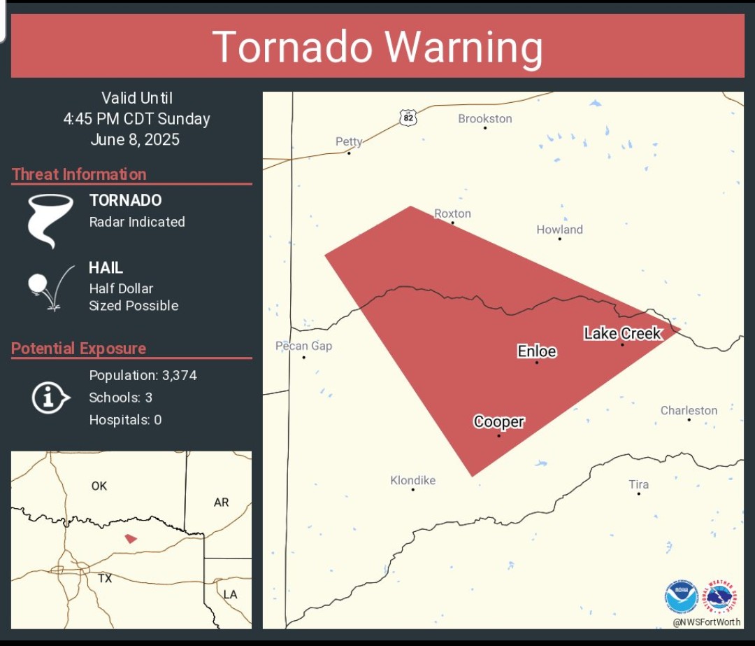
Tornado Warning TXC119-277-082145- /O.NEW.KFWD.TO.W.0047.250608T2111Z-250608T2145Z/ BULLETIN - EAS ACTIVATION REQUESTED Tornado Warning National Weather Service Fort Worth TX 411 PM CDT Sun Jun 8 2025 The National Weather Service in Fort Worth has issued a * Tornado Warning for... Northwestern Delta County in north central Texas... Southwestern Lamar County in north central Texas... * Until 445 PM CDT. * At 410 PM CDT, a severe thunderstorm capable of producing a tornado was located near Roxton, or 16 miles southwest of Paris, moving southeast at 15 mph. HAZARD...Tornado and half dollar size hail. SOURCE...Radar indicated rotation. IMPACT...Flying debris will be dangerous to those caught without shelter. Mobile homes will be damaged or destroyed. Damage to roofs, windows, and vehicles will occur. Tree damage is likely. * This dangerous storm will be near... Big Creek Lake around 420 PM CDT. Cooper around 425 PM CDT. Other locations impacted by this tornadic thunderstorm include Gadston and Ben Franklin. PRECAUTIONARY/PREPAREDNESS ACTIONS... TAKE COVER NOW! Move to an interior room on the lowest floor of a sturdy building. Avoid windows. If you are outdoors, in a mobile home, or in a vehicle, move to the closest substantial shelter and protect yourself from flying debris. && LAT...LON 3352 9583 3356 9576 3346 9554 3334 9571 TIME...MOT...LOC 2110Z 321DEG 13KT 3349 9574 TORNADO...RADAR INDICATED MAX HAIL SIZE...1.25 IN $$ Stalley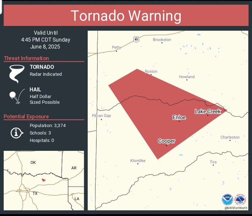
-
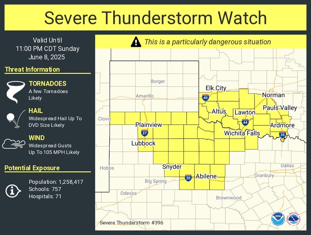
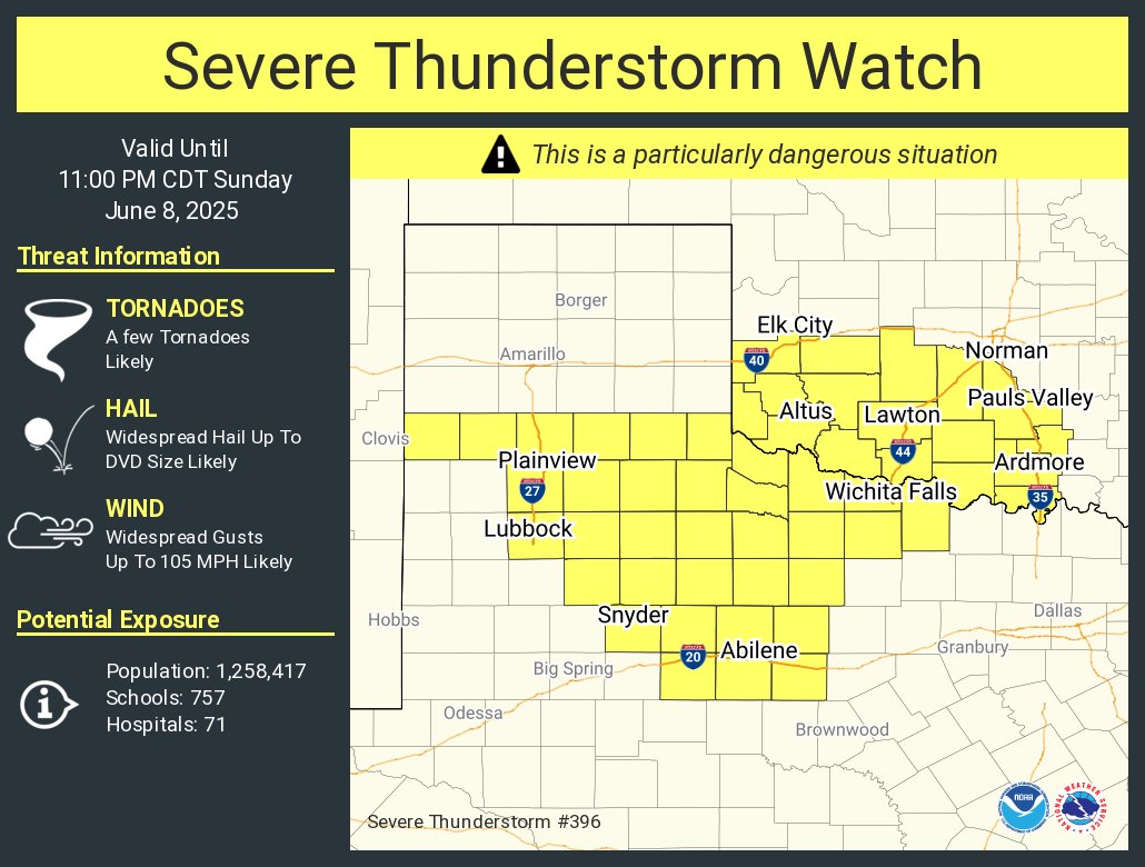
Not sure I've ever seen a watch for winds up to 105 MPH *AND* 5" diameter hail before... https://www.spc.noaa.gov/products/watch/ww0396.html
-
June 8 Southern Plains Severe Outbreak
Powerball replied to Powerball's topic in Central/Western States
URGENT - IMMEDIATE BROADCAST REQUESTED Severe Thunderstorm Watch Number 396 NWS Storm Prediction Center Norman OK 400 PM CDT Sun Jun 8 2025 The NWS Storm Prediction Center has issued a * Severe Thunderstorm Watch for portions of Southwest Oklahoma Western North Texas and Low Rolling Plains * Effective this Sunday afternoon and evening from 400 PM until 1100 PM CDT. ...THIS IS A PARTICULARLY DANGEROUS SITUATION... * Primary threats include... Widespread damaging winds and scattered significant gusts to 105 mph likely Widespread large hail likely with isolated very large hail events to 5 inches in diameter possible A few tornadoes likely SUMMARY...Increasing intense severe storm development is expected through late afternoon into evening. This will include initial supercells capable of very large hail with a tornado risk, but a prominent potential for widespread damaging winds should evolve this evening.