All Activity
- Past hour
-

Central PA Spring 2026 Discussion/Obs Thread
canderson replied to Voyager's topic in Upstate New York/Pennsylvania
I love 50 degree drizzly days so much. I wish we had them more often. -
it's giving it a go as it approaches you.
-

Central PA Spring 2026 Discussion/Obs Thread
Voyager replied to Voyager's topic in Upstate New York/Pennsylvania
Warm west/cold east is getting old... -

2026-2027 El Nino
40/70 Benchmark replied to Stormchaserchuck1's topic in Weather Forecasting and Discussion
A few Modoki in there... -
Low topped event. Shallow CAPE.
-
Saturday looks good. Sunday looks ass-ish
-
2026-2027 El Nino
40/70 Benchmark replied to Stormchaserchuck1's topic in Weather Forecasting and Discussion
I would agree. -

Central PA Spring 2026 Discussion/Obs Thread
pawatch replied to Voyager's topic in Upstate New York/Pennsylvania
Repeat of the other week. -
2026-2027 El Nino
40/70 Benchmark replied to Stormchaserchuck1's topic in Weather Forecasting and Discussion
Yes, for the most part, but my area did get that unexpected whopper just prior to Xmas, on 12/23. -
Maybe a dumb question but why does the SPC Mesoanalysis show CAPE in Illinois? I doubt we've accumulated 1000 J/kg under clouds all day.
-
I definitely don't miss the frustrating ocean induced cool weather that define Long Island springs. I remember being frustrated seeing NJ in the 80s and my house being in the 50s with ocean mist and fog. Or sometimes it would be nice and in the 70s or 80s north of Long Island (CT, upstate NY) and LI still stuck in the 50s or 60s.
-
Saturday looks solid 65-70 I-90 South similar to yesterday
-
We had one in 2016
-
Storms trying to get going locally but nothing exciting. Not even much lightning.
-
Huge winter incoming.
-

Central PA Spring 2026 Discussion/Obs Thread
Superstorm replied to Voyager's topic in Upstate New York/Pennsylvania
Huge contrast across state. 47 Lancaster 82 Pittsburgh . -
Those storm cells near the Quad Cities should be watched very closely. There seems to be some issues with other nearby cells interfering, but the cells over McCausland and Colona might be starting to get that “look.” The tornado-warned storm moving towards Toronto, IA also bears watching; it’s about to merge with the line behind it.
-
Sun breaking out a bit imby
-
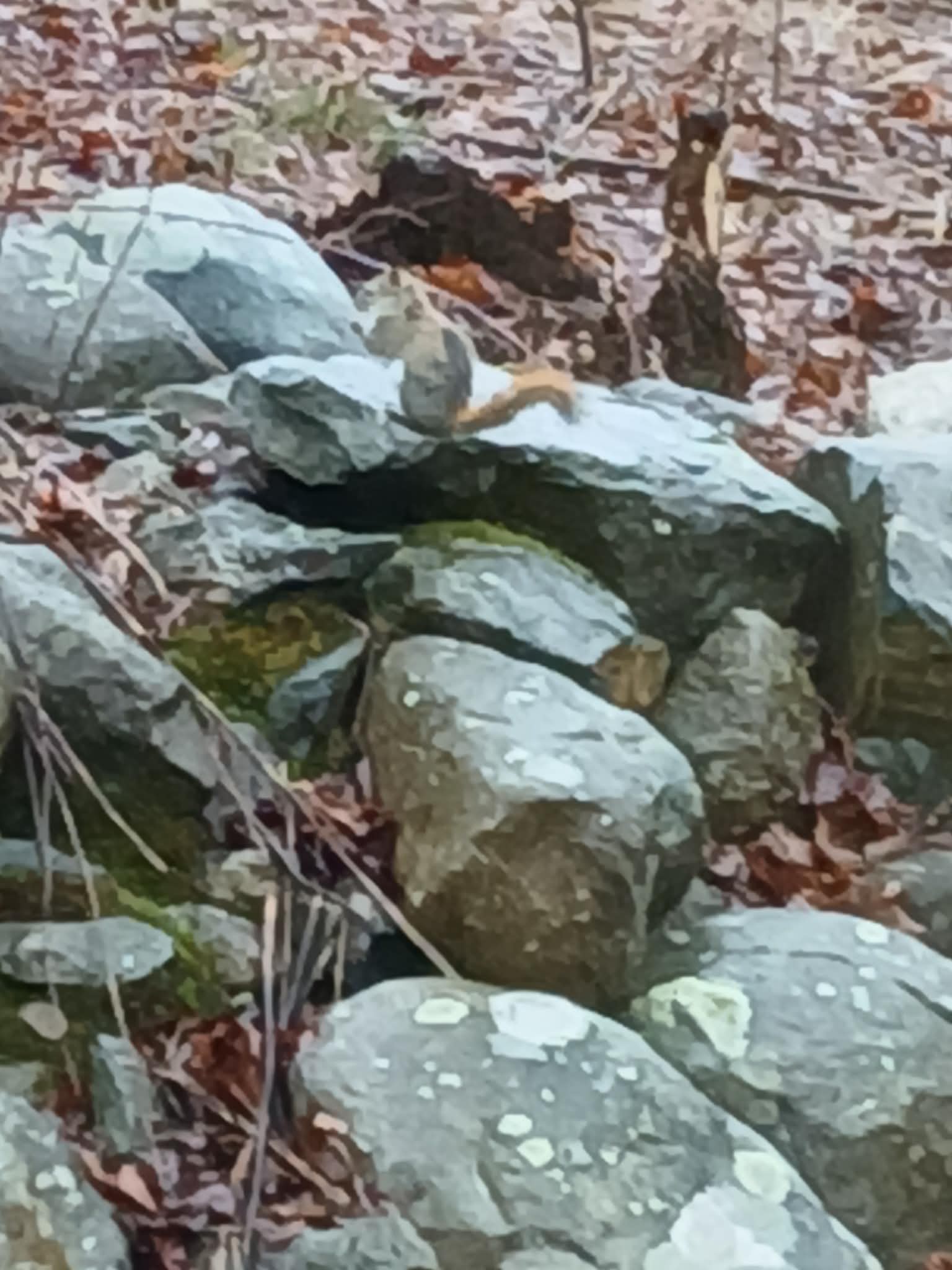
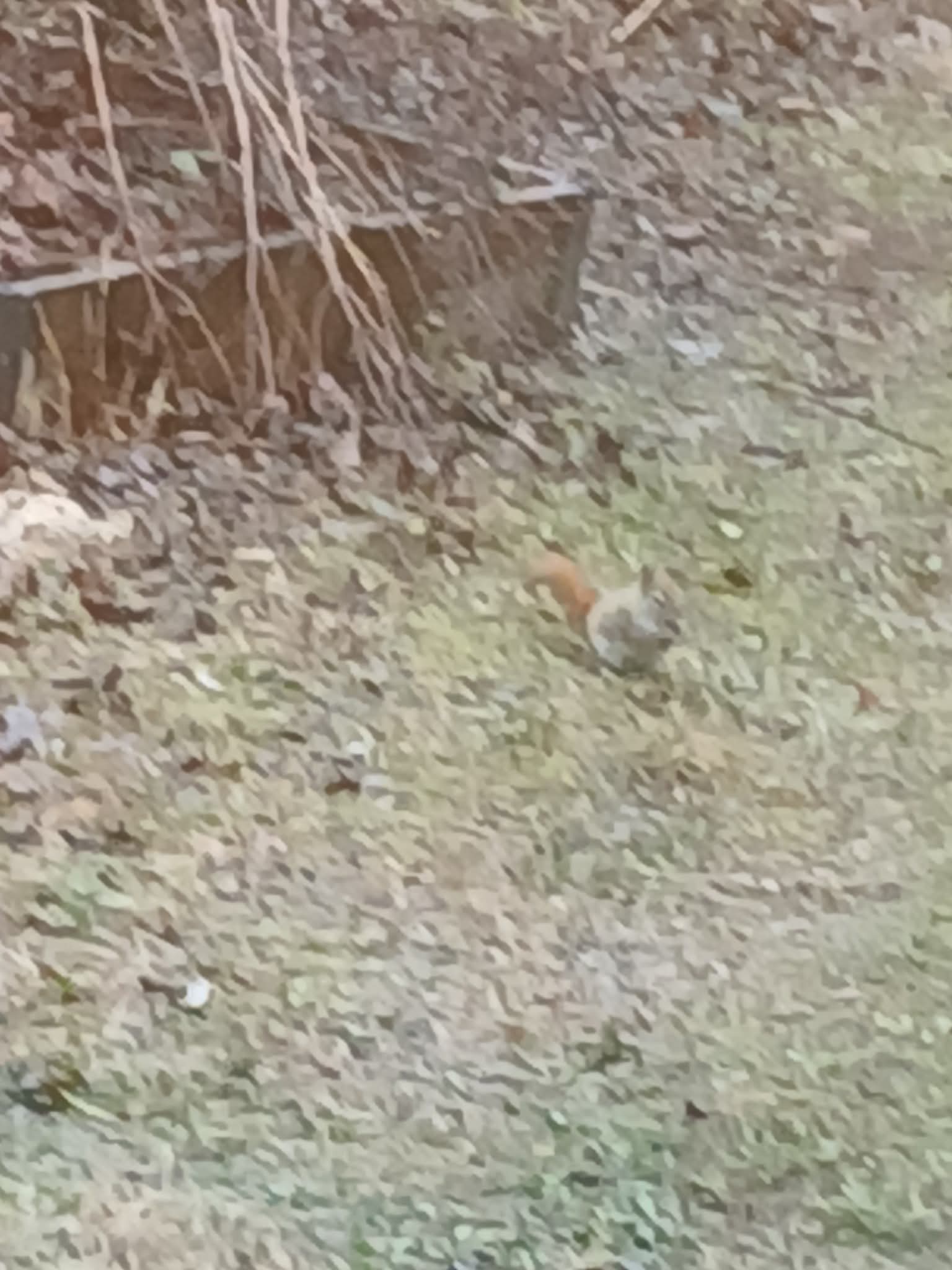
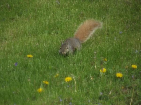
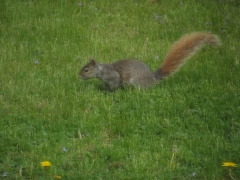
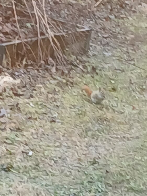
I know terrible pics but first time I've seen a squirrel with a gray body and a brown reddish tail..

-
Picked up 1.01" so far since last evening. I'll take it.
-
Nice sup heading right at us. If it can get it's act together this could get interesting.
-
Lol, classic
-
The line looked potent, and was severe-warned, as it moved through Cedar Rapids, but it was bit of a dud.
- Today
-
South of Davenport looking gnarly
-

E PA/NJ/DE Spring 2026 Obs/Discussion
Albedoman replied to PhiEaglesfan712's topic in Philadelphia Region