All Activity
- Past hour
-
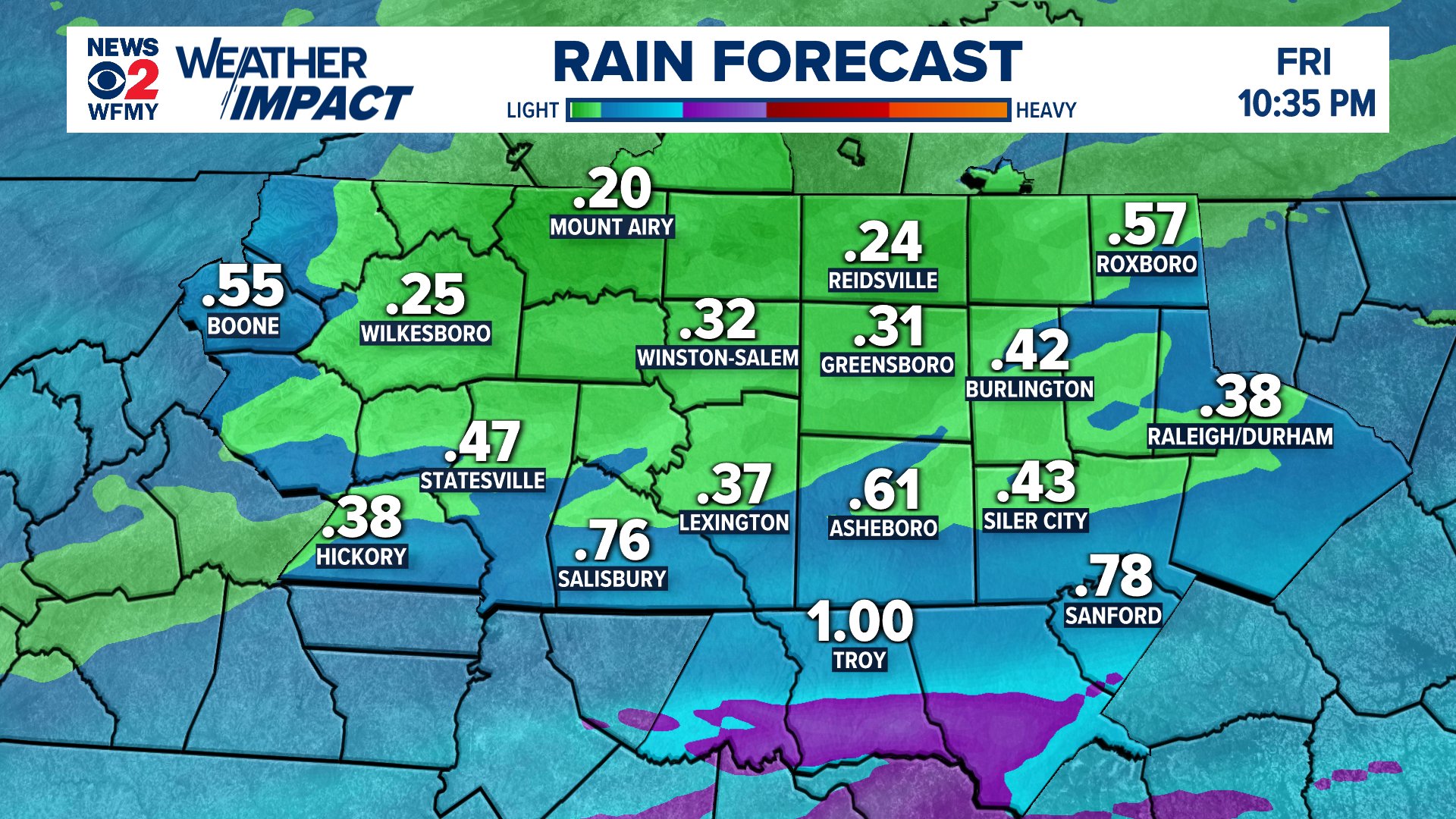
Awesome! Hardly anything in Asheville.
-
Also included 2 villages, Oxbow and Allagash, with Clayton Lake in the middle of the area. Total population <500, about 0.2 per sq. mile. 78/35 yesterday, maple buds bursting, oak not yet, white ash still asleep.
-

Central PA Spring 2026 Discussion/Obs Thread
Itstrainingtime replied to Voyager's topic in Upstate New York/Pennsylvania
This batch of rain is hauling - looks like it will be clear of all of us in the next hour or so. -
Line is shrinking in width and coverage as it moves east and is picking up speed should be east of most of the region by evening - this has been the trend lately and the drought conditions are getting worse - lawns are very dry and not growing as fast as usual this time of Spring
-
8" storm total here. By far the most I've seen in May in my 19 years here. 3.5" was my record.

-
Looks like I'll pull an extra inch from this morning's stuff. So 8" Even with that, still has me under 50% of normal for the season.
-
Either way it will be nothing like it was modeled to be several days ago....as you said yesterday. Most of the area was modeled at .75 to 1.25" and now we will struggle to reach .25" in most places. Does not look overly wet over the coming 1-2 weeks. Dry periods outdoing the wet periods for better than 18 months now.
-
Today has potential if it's close. Who cares if it's sloppy, low visibility, full of trees and hills? In the South we go mess or we go home, lol! Worst case you get a country drive, and get back in time for the NBA playoffs. Yeah that overcast is a real problem south of the boundary. It'd be acceptable north of the boundary until early afternoon. South of the boundary really needs some heating soon to start destabilizing. Lapse rates are there above the low-level crud. Yeah the LLJ is weakening and retreating north. However upper-level winds remain stronger than what is necessary. Absolutely need the outflow boundary to locally back winds and create favorable SRH. 10% is probably right for just the boundary*. Otherwise looks like messy storm modes. Even on the boundary storm interaction could be a problem. What's new in the South? * I see two boundaries. Yes along I-20 is the coastal front or some other dewpoint differential. It lumbers north more in Alabama thanks to less overcast (still I-20). Agree that's the one for the best chance of discrete sups and tor. Synoptic lumbering front is in North Mississippi and North Alabama (almost Tenn border). It'll have storms, but more interaction and more problems. If I'm in JAN or BHM I'd plan on wrapping up work a few minutes early to chase. If it looks like crap enjoy a rainy evening watching sports at home. As for me, no plans to depart Chatty.
-
-
yeah HRRR has it falling apart-we will see
-
Radar looks good but models suggest we only see about .10"
-

2026 Spring/Summer Mountain Thread
Maggie Valley Steve replied to Buckethead's topic in Southeastern States
Rolling thunder and heavy rain ongoing the past half hour. -
Looks like some heavy rain entering the area.
-
It's rare that Baltimore scores while DC is in the screw zone. Though it's not much of a screw over here, it's Central VA that's getting shafted.
-
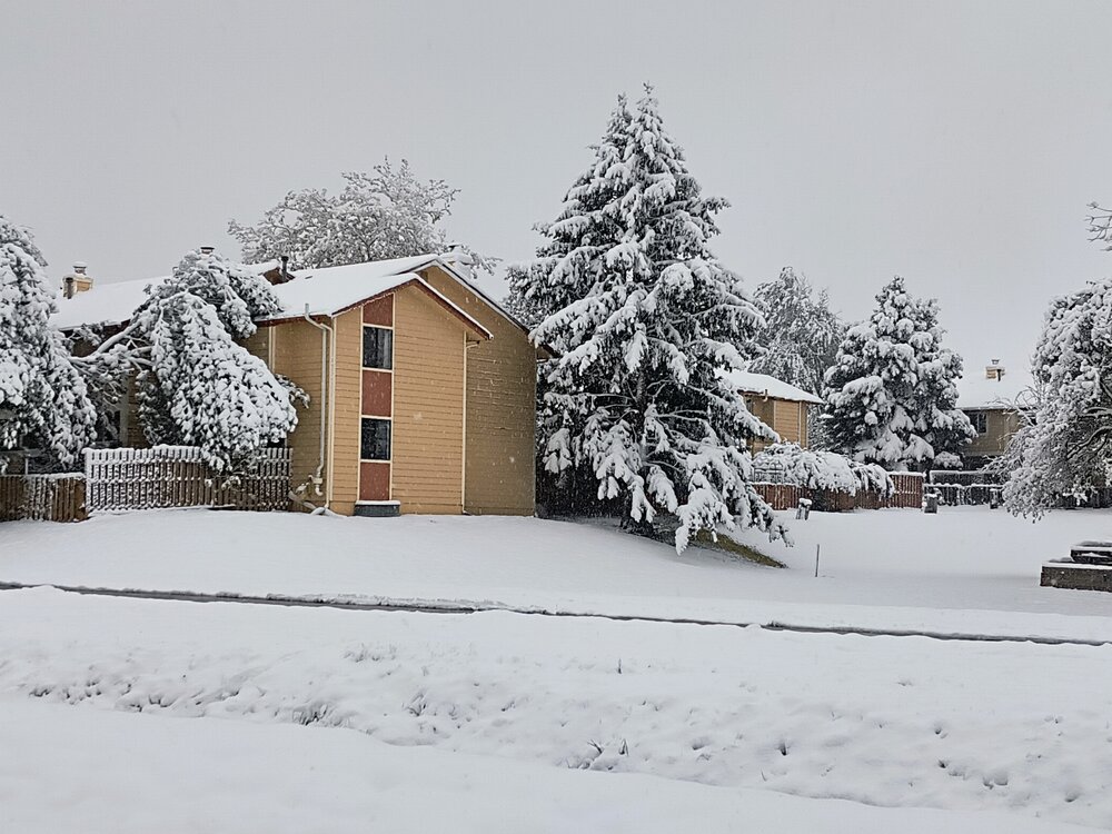
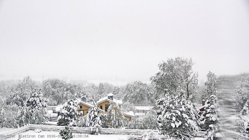
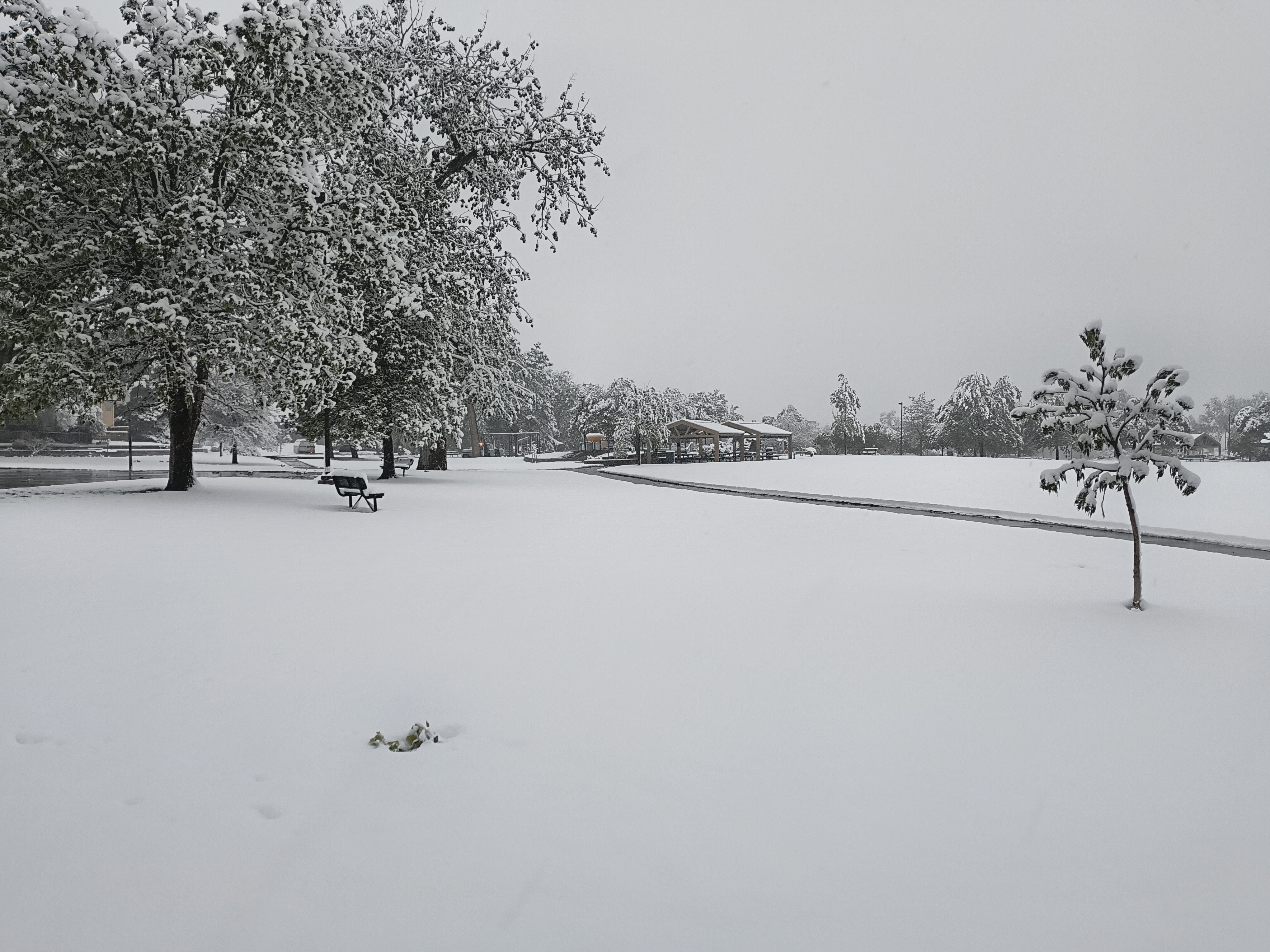
Looks like 5-7" around Denver, 9-11" around Boulder, 5-8" around Fort Collins, 8.5"-27" in the mountains, 8" near Colorado Springs.
-
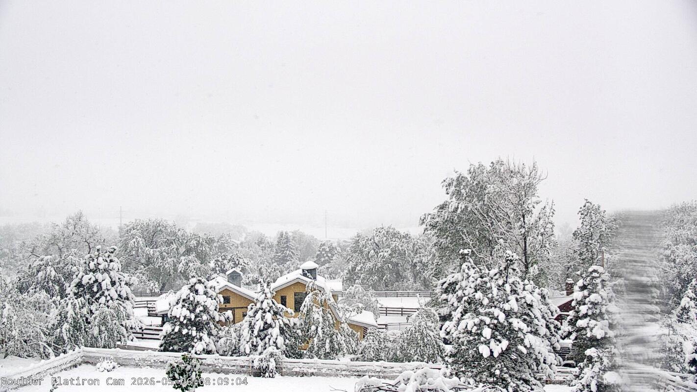
Lots of power outages in Boulder and Denver areas from the very heavy wet snow. Is this going to end up a May record breaker for Boulder? This is from Boulder:
-
Getting nervous because some models showing a cutoff to the NW of the heavier precip as far south as I85. I assume this is the GRAF
-
they are much nicer in places where there is an outside to go to
-
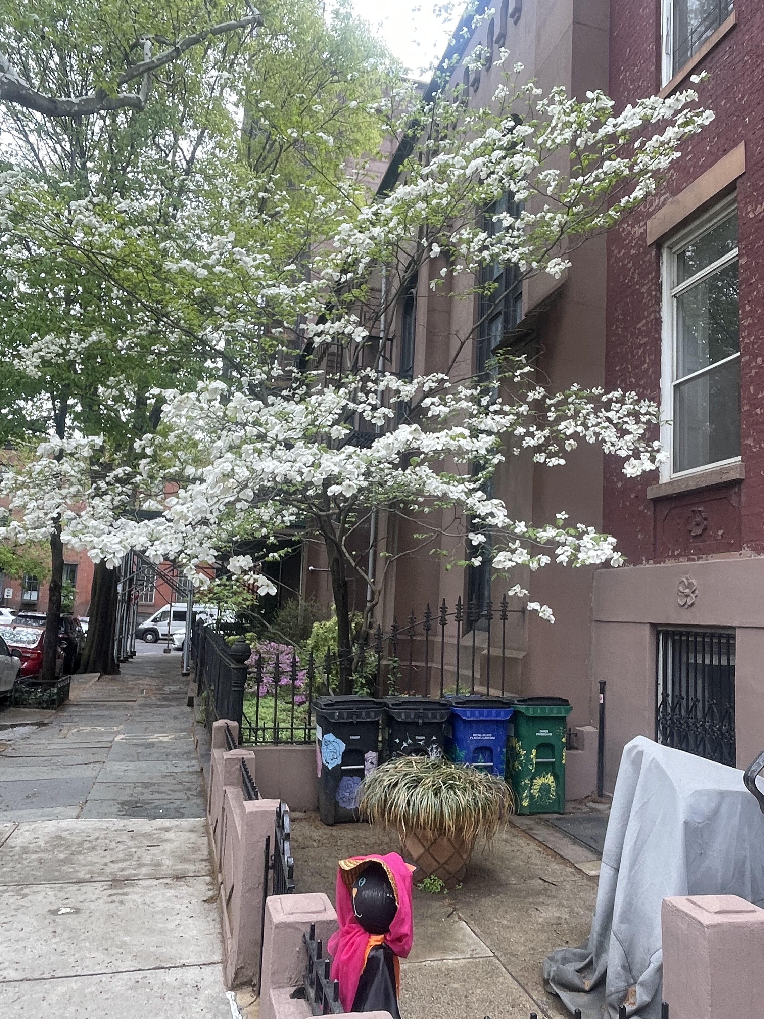
There is always the blessed return of beauty in new life. Enjoy breathing in that life and hearing the sounds of the warm season …. At least …. until the first flake lands on your cheek and melts into a tear above your smile. As always ….. .

- Today
-
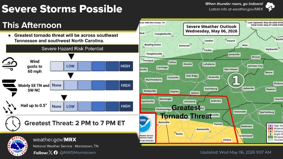
Wednesday 5-6-26 Morning Update 12z KJAN morning sounding shows a decent sounding to start the day off with the loaded gun appearance. Will need to see if any sunlight can break through the clouds to enhance mixing and help start eroding some of the cap away. My only concern at this moment is the wind profile at the surface. Still in need of some sort of outflow boundary to get winds to turn more southerly instead of southwesterly to enhance the directional shear across the area to have any chance of discrete/supercells this afternoon and evening. Current model guidance suggests that I-20 will be the dividing line. Model guidance however does not fully agree on if storms will be more favorable south of I-20 or north of I-20. Regardless, will need to watch to see how conditions will evolve throughout the day. Currently, would much rather chase north of I-20 where trees are less of a hassle/hindrance. South of I-20, trees are major issue so any potential to chase in this area will be considered unlikely. Chase target for me if storms develop along I-20 and north will be Canton, MS which is about 30-45 minutes north of my current location and have some decent options if needed. If I do chase south of I-20, options are extremely limited and will likely have to stick near I-55 or I-20 or maybe a major highway like Hwy 49 to have any chance of chasing or seeing anything worth noting. This decision is really undecided as I am waiting to see how morning model data trends and see how the environment will evolve by this afternoon. Date: 5/6/26 @ 9:05 AM
-

2026-2027 Strong/Super El Nino
so_whats_happening replied to Stormchaserchuck1's topic in Weather Forecasting and Discussion
This is not my chart it is through PSL and their data. We can go back and forth till our faces turn blue but with it being a multivariate index it just shows the issues of not having everything align within an ENSO state. Take for instance the 22/23 ENSO state, RONI and ONI were -1.3 and -1 at peak respectively but showed the MEI for that ENSO event categorized strong to borderline super Nina. So was it right in depicting that the atmospheric/oceanic pattern was more La Nina than what was being represented by ONI/RONI? I think it is important to look at all aspects and not lock ourselves into one index or train of thought. As we see Bluewave throwing his theories on how things are progressing globally they may be wrong or right but it is still taken into consideration. There will be flaws with every index we have as nothing is concrete but it is more so interesting to see where the index is seeing these issues arise in the different states. We quickly jump on the RONI bandwagon to depict what will happen without knowing the flaws in this index but nitpick others... that just doesn't seem right. -
Could be interesting later on. Sent from my SM-G998U using Tapatalk
-
There will be less upslope, so the mountains can't rack up impressive totals 1-2" at a time as they have done the past 2 years. OTOH, those perfect track 35* rainstorms for the cities will be 28* paste bombs in the highlands. And no, those really haven't happened at all this decade outside of a few noteworthy early / late season events.
-

2026-2027 Strong/Super El Nino
snowman19 replied to Stormchaserchuck1's topic in Weather Forecasting and Discussion
-
Lol I would but man it just seems dry begets dry .


.thumb.jpg.049f4a7f726ada07e8cd30bd17e713cb.jpg)