All Activity
- Past hour
-
January looks quite promising actually. Look at the direction of travel on the EPS. We're starting out the month with what looks increasingly likely to be strong blocking. So it's a time to keep eyes open simply due to that. Then, beyond that, the big Pacific block was taken out. There's a trough now in the Aleutian Islands forcing a +PNA. With what very well could be a decaying west based NAO block by then... There's some really good potential in all of that as we head into peak climo.
-
Facts. I moved here in the 90s and began to see them, and pretty regularly, the "APG" eagle population. Even then Conowingo was the hottest spot I knew of. They are so much more widespread now, it is wonderful. Lucky enough to see them nearly every day here on the Bush River but to N Balti Zen's comments...no...have never really gotten used to how amazing it is to see them, they take my breath away every time.
-

E PA/NJ/DE Winter 2025-26 Obs/Discussion
PhiEaglesfan712 replied to LVblizzard's topic in Philadelphia Region
Great wall-to-wall winter, actually. Technically, 17-18 and 20-21 also had above average December snowfall. -
Yea it’s still a good spot. I was far enough south yesterday to get into some of that ocean effect snow, definitely gave me an additional 1/2 to 1” or snow. Nothing to complain about. Islip having a great early season. They must be close to a foot already as well.
-
Probably the best forecast I've seen, especially for NJ, where most forecasters had significantly higher numbers and the only area that achieved 3+" was NENJ from Union to Bergen Counties and most of Morris/Sussex and they were in your 3-6" swath. Your 1-3" swath was right on for the most part, as was having the 6-10" forecast mostly limited to areas N of 84 and NE through CT and including Suffolk - not all of those places reached 6", but those were the only areas that did see reports over 6".
-
Ended up with 8.5" here for another nice December event
-
Probably 3 members have us in the 80s so it screws it all up….weenie answer
-

Wounded Duck Strikes Back: Dec 26 & 27th Winter Storm Obs
weathafella replied to WxWatcher007's topic in New England
Eyeballing about 4”. I expected 2-4 so the top end of the range. Beautiful looking snow. -
This has to be the first time in ages I can recall the Euro/NAM both actually getting QPF right in a storm, in general they're insanely too dry/wet respectively. Its strange how both somehow got it right the QPF would be way lower than many other guidance parameters had
-
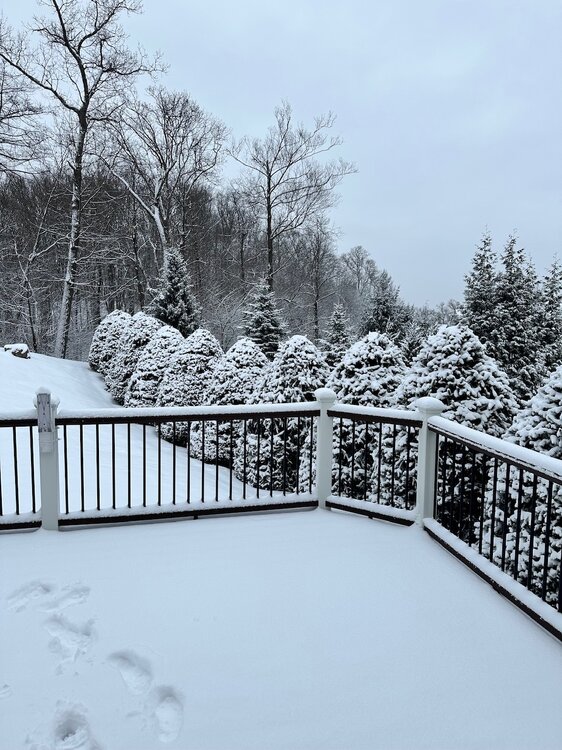
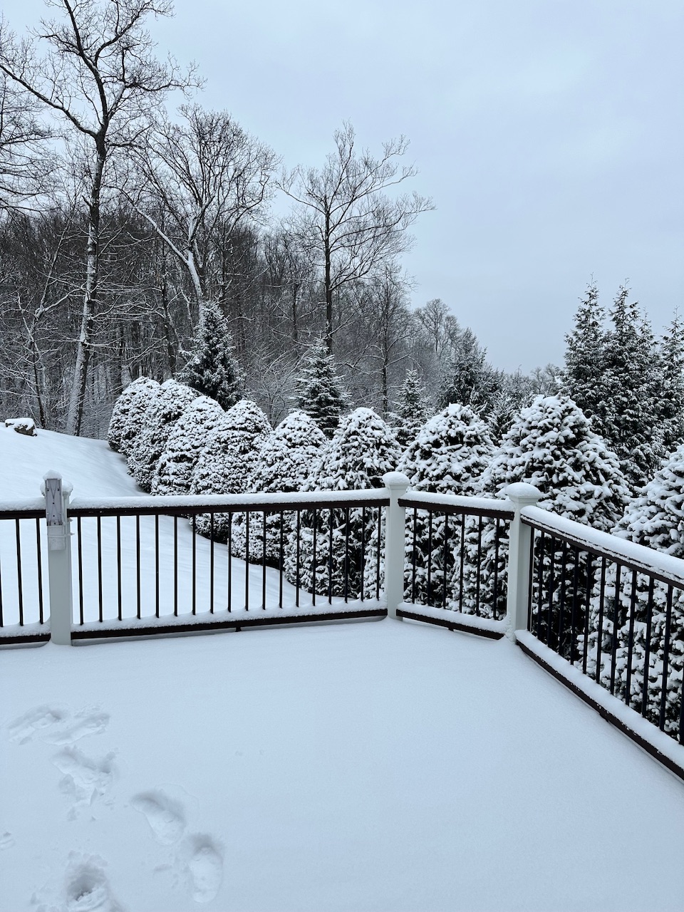
-
Absolutely beautiful. I’d love to just lean on that rail for an hour taking in the vibes. Nice property
-
We already had a Jan 2025 last year, so let’s roll the dice with Jan 2026
-

Central PA Winter 25/26 Discussion and Obs
canderson replied to MAG5035's topic in Upstate New York/Pennsylvania
34 now and it sounds like it’s raining from the melt -
Hopefully it’ll improve the mood in their subforum.
-
Actually mega million odds are alot smaller then 50/50 lol
-
Which pattern would y'all rather chance? Jan 2025 or the advertised Jan 2026 and why?
-

January 2026 regional war/obs/disco thread
SnowGoose69 replied to Baroclinic Zone's topic in New England
JB with yet another totally random X post lol. He says only 5 Januarys since 75 with the MJO spending 23 or more days in the null phase. All were quite cold in the East/MW/Plains. 80 82 96 00 03. Problem with that post is who knows if the BOMM/EPS are possibly accurate out that far and only 1 of those 5 years comes close to our current ENSO (96) -
That was pretty cool. That’s the part I’ll remember. You really just don’t see that happening much. And I don’t recall anyone or any model forecasting that.
-
Interesting Satellite visible loop with the clouds / snow / showers-flurries east, clearing west into EPA/NW NJ and clouds beyond further west
-
I got four just based on sticking the ruler in the snow this morning after the fact, probably closer to 5 if I'd done it properly throughout the storm. I believe the 7 in Babylon 20 minutes east of here. The NW to SE gradient shown in virtually all the forecast maps verified, at least in my neck of the woods.
-
Looks like you’re still in a good spot for snow. It’s really south of the LIE that drops off.
-
It's their first 4+ snowfall in several years, so I am happy for them. I root for everyone to get snow as long as it doesn't directly steal from MBY which is not usually an issue.
-
Well since la nina isn't doing us any favors.. I'll gladly take a more El nino look lol
-
What is this that we are looking at for Monday = looks like rain yuck
-
Finished up with 2.8" here. Had about .70" crusty crap when I went to bed at around 11:15 but radar had filled in nicely and I was expecting 1-2" additional based on that. Fell just short of the low end of my forecast of 3-6". Melted total was exactly .5" and that was right in line with the model consensus. Was thinking .4 - .6". I knew we were in trouble very early on with sleet all through EPA, including Scranton and most of western NJ starting out as mostly sleet. No matter it looks nice out there this morning. My street is a mess from the sleet being covered by snow and temperatures in the upper teens. Kind of an ice sheet even with salting. Compressed sleet in cold temperatures covered by snow never a good thing.