All Activity
- Past hour
-
90/68 today with 0.02” precip. Spent most of the day in the low 80s but after the clouds cleared temps were off to the races.
-
Managing a bullpen is literally the hardest on-the-field thing managers do. That's why I wish people would just give him time on that. And the lineups are not his fault, imo That's Elias/Sig
-
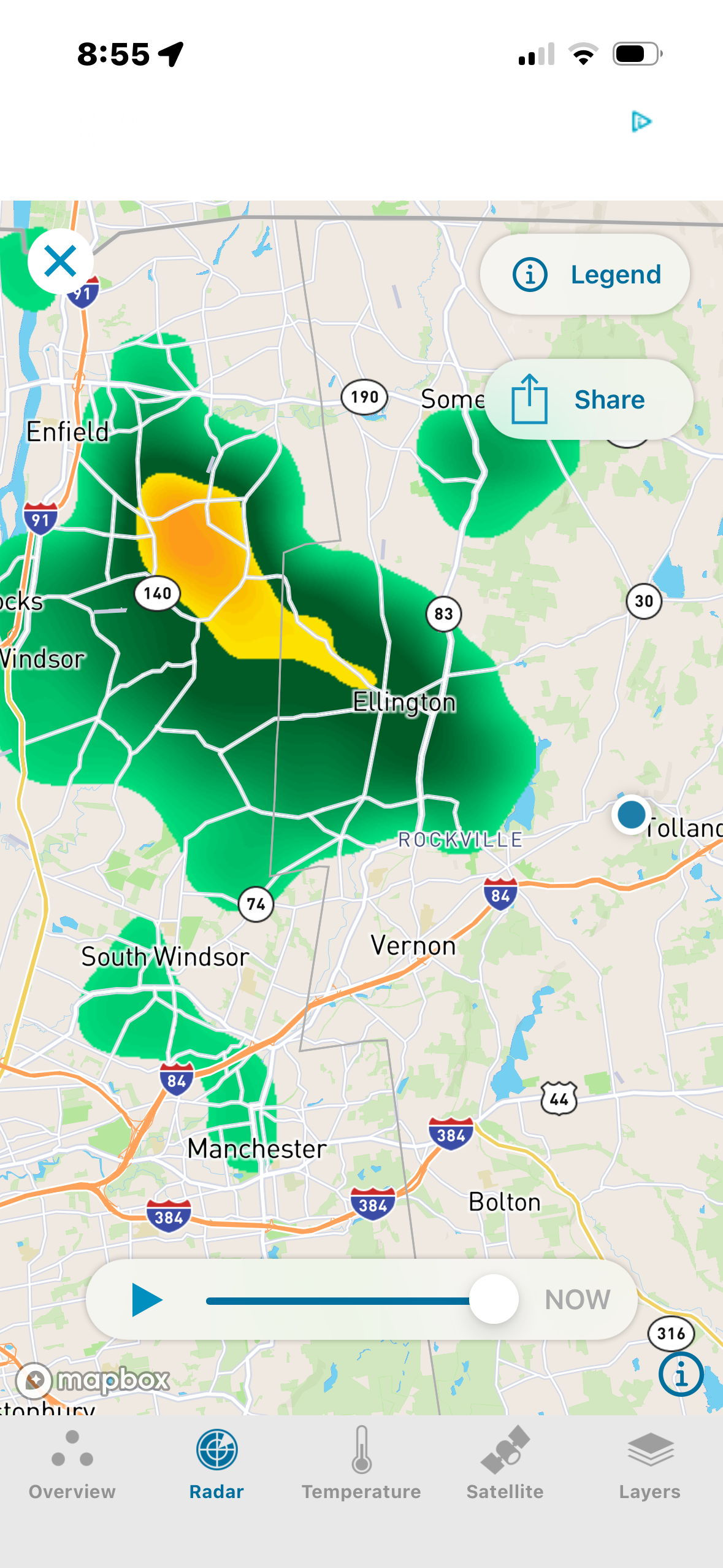
Storms running out of power. I miss out again, shocking
-
He’s been very good with pinch hitting. Everything else?
-
I will say he is good at PH situation though.
-

Pittsburgh PA Summer 2026 Thread
PghPirates27 replied to TheClimateChanger's topic in Upstate New York/Pennsylvania
Damn that was bad tonight -
 http://mapplemed.shop/# canadian pharmacy victoza
 -
Also no legit manager is going to come here as long as Elias is President of Baseball operations
-

Occasional Thoughts on Climate Change
donsutherland1 replied to donsutherland1's topic in Climate Change
Here’s a reasonable substitute: https://www.pyreweather.org I hope the shortsighted decision to stop updating the PSL site will be reversed in the future. -
http://mapplemed.shop/# canadian pharmacy victoza
-
Albernaz is awful. His BP decisions has cost them several games this year. When he brought in Wolfran yesterday I thought what the fuck are you doing. It's almost as if he doesn't realize every game is basically a playoff game the rest of the season.
-

2026-2027 Record-breaking El Nino
40/70 Benchmark replied to Stormchaserchuck1's topic in Weather Forecasting and Discussion
That isn't my point.....I'm not saying that it necessarily should have flipped by now, but considering what has gone on over the course of the past decade, nothing is a foregone conclusion with respect to to the PDO. I'm with you on that, but it's not a non-issue, as you seem to imply. -

Septorcher 2026 Discussion - Endless Summer
WxWatcher007 replied to Damage In Tolland's topic in New England
Definitely worth watching further west, but it’s not much different from us…needing a hurricane to turn north and THEN hook into land. Hard to do. Honolulu has no history of a strike from the south for that reason. Too far east. Really interesting. -

E PA/NJ/DE Autumn 2026 Obs/Discussion
Birds~69 replied to PhiEaglesfan712's topic in Philadelphia Region
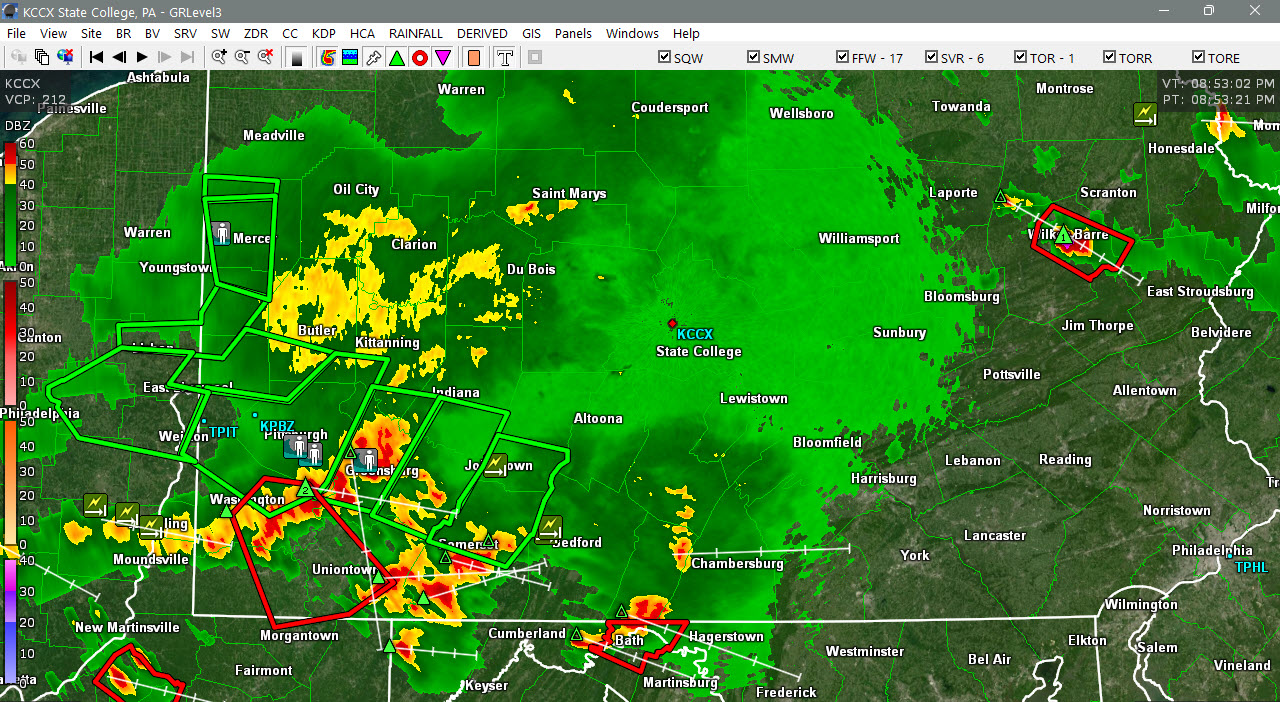
Just looking at this. Radar active Pitt moving eastward. Hopefully some late/overnight boomers. Air is ripe, 80F/DP74F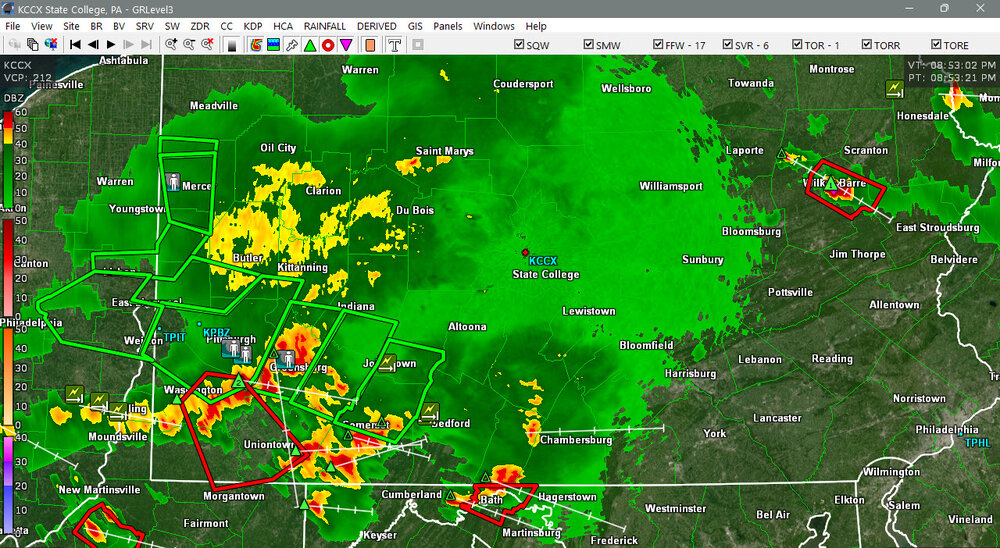
-
.thumb.jpg.6a4895b2a43f87359e4e7d04a6fa0d14.jpg)
Central PA Summer 2026 Discussion/Obs Thread
Yardstickgozinya replied to Voyager's topic in Upstate New York/Pennsylvania
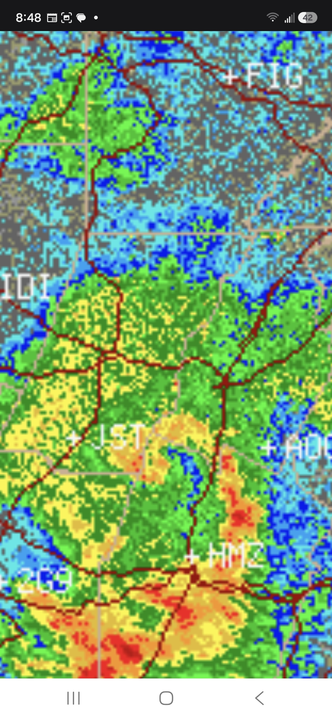
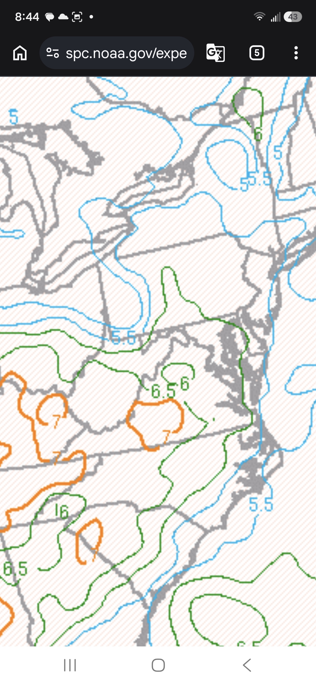
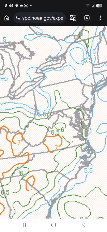
That was a beautiful bow echo . Even had the hallmark bookend vorticity. Unfortunately, when it exited that small finger of better low-level lapse rates, it just couldn't maintain that kind of storm vigor.. It is going to run into better mid-level lapse rate as it nears the susquehanna river.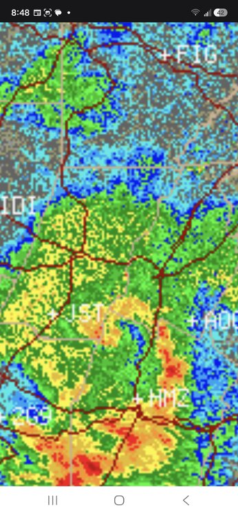
-

Septorcher 2026 Discussion - Endless Summer
Damage In Tolland replied to Damage In Tolland's topic in New England
@dendrite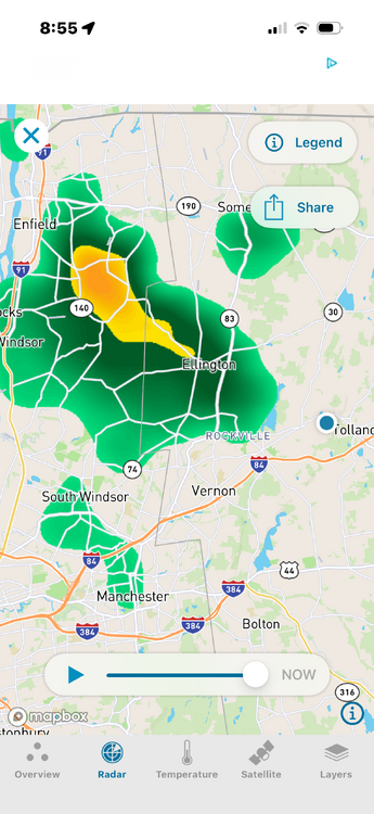
-
I have seen this song and dance before.
-
http://mapplemed.shop/# canadian pharmacy victoza
-
No storms the last two days and watch it storm at home now that I’m at the beach
-

Central PA Summer 2026 Discussion/Obs Thread
canderson replied to Voyager's topic in Upstate New York/Pennsylvania
It’s just a t-storm and nothing severe. Calm your britches. -
Already getting rolling thunder and lightning from that cell in Hancock, 20 miles to my NW.
- 2,458 replies
-
- 1
-

-
- severe
- thunderstorms
- (and 7 more)
-

2026 Mid-Atlantic Severe Storm General Discussion
AlexD1990 replied to Kmlwx's topic in Mid Atlantic
This seems unnecessary- 2,458 replies
-
- 1
-
-
- severe
- thunderstorms
- (and 7 more)
-
- 2,458 replies
-
- 1
-
-
- severe
- thunderstorms
- (and 7 more)
-
URGENT - IMMEDIATE BROADCAST REQUESTED Severe Thunderstorm Watch Number 652 NWS Storm Prediction Center Norman OK 840 PM EDT Thu Sep 3 2026 The NWS Storm Prediction Center has issued a * Severe Thunderstorm Watch for portions of District Of Columbia Delaware Maryland Southern New Jersey Far Southeast Pennsylvania Northern Virginia Far Eastern West Virginia Coastal Waters * Effective this Thursday night and Friday morning from 840 PM until 200 AM EDT. * Primary threats include... Scattered damaging wind gusts to 70 mph possible SUMMARY...Several clusters of strong to severe thunderstorms capable of scattered damaging wind gusts will be possible this evening and overnight.
-
Actually for i95 corridor and Delmarva