All Activity
- Past hour
-
Had a great day here of 29C/84F started overcast here too then it broke at 130pm. No rain or storms as shown by some - I think smoke is moving in this eve that was a close call! I was forest bathing and breathing in deeply after that nightmare 2 weeks ago.
-
I have heard that place is very good! Other half is picky, so haven't been. We ended up going in the afternoon after the clouds cleared out. Went to Roosevelt inlet around 3. Was nice, only a few Jellyfish
-
.thumb.gif.f92b16c631a1d15d405ed77b33f0710d.gif) beers
beers -
S tier afternoon float
-
The fact that we are on our third set of hitting coaches in three years and still the same problem is very revealing. It's the entire Elias' system! Rubenstein annoyed me the other day with his public vote of confidence in Elias...but I am HOPING he was just saying that for PR since Elias was sitting right there, and the presser was about the Bradish extension. No way anybody with even the slightest clue can look at this and just run it back next year. He's gotta go...it's time!
-
 JU-PLY ending JU-NIED
 -
Today's Highs: New Brnswck: 86 TEB: 86 EWR: 85 PHL: 85 NYC: 85 LGA: 84 TTN: 84 ACY: 83 BLM: 82 ISP: 81 JFK: 80
-
the good news is July should average below normal for some now.. what a change
-
a little over 1" here on the 12z...whoop-de-do
-

2026-2027 Super El Nino
Stormchaserchuck1 replied to Stormchaserchuck1's topic in Weather Forecasting and Discussion
We have had a long term -PDO/La Nina pattern, call it a decadal pattern 1998-2025. It seems to have strengthened since 2016, and now in 2026 it's diverging from the S. Hemisphere/equator and the Northern Hemisphere. Up until now you could have said it was either, ENSO or PDO. The Southern Hemisphere Hadley Cell expanding during the time makes me think it was more of a decadal ENSO phase. But now with the N. Pacific significantly diverging from the SOI/ENSO SSTs,,, maybe it's something else related to the PDO. Or my personal theory is cold northern Arctic Summers could have a lot do with it. We also had 100-year low Solar 2001-2020. The max during that time was weakest since the early 1800s. -
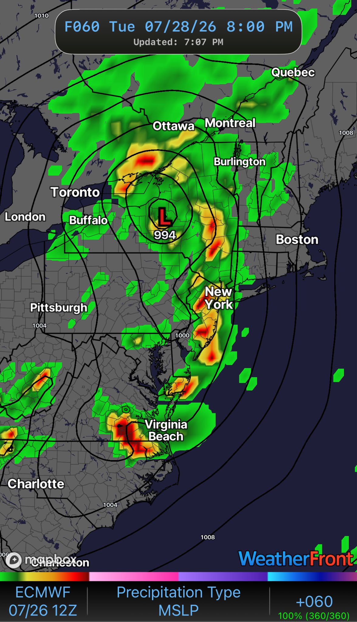
 Hmmm One would think that the rainfall would spin around the low. Straight North you say.
 -

2026-2027 Super El Nino
EasternLI replied to Stormchaserchuck1's topic in Weather Forecasting and Discussion
You know... that timeframe is interesting and it's funny you mentioned it as I was looking through the H300 PDO index numbers again. In the monthly data, that was actually the last time it was appreciably positive. During 97-98. Greater than +1. And before that too. At times after that it has been above 0 to about 0.5 including during 15-16 but always fell negative again. It remains negative as of now, well as of June's number which was -2. A curious thing to add to this though is the MEI. Which appears to be tracking most similarly to 97-98. There's that year again and a record event of it's own time. Almost seems like that was some kind of turning point of sorts and now here we are just about 30 years later looking at some really intriguing metrics. H3 PDO: https://www.cpc.ncep.noaa.gov/products/GODAS/PDO_body.html MEI: -
Elias needs to go and we need new hitting coaches. It really comes down to a bunch of clowns trying to run the show. Instead, they are running players into the ground. Insanely bad hitting this season. No way around it.
-
 The good news with that set up is you pump humid air out ahead of it with good pwats and it won’t take much to tally up some quick appreciable rainfall in New England as the front lifts NEward. Though I haven’t looked close enough to see if it’s occluded by that point.
 - Yesterday
-
Agree with you.... 1.48 here for the entire month... Northern Waynesboro across the SNP into the western / northwestern areas of Albemarle is extremely dry and dusty now... Very very low water levels in the Moormans / Doyles river basins in north western Albemarle.... Not surprising thats where the extreme drought is still showing on the drought monitor... Loud thunder outside with zero rain again from a storm south of town where there have been repeated deluges this month...
-

2026-2027 Super El Nino
LakePaste25 replied to Stormchaserchuck1's topic in Weather Forecasting and Discussion
I don’t think it’s a cop out. If it statistically argues so (which is absolutely does for the mid Atlantic) there’s no reason to pretend that it doesn’t. -
Future's bleak
-
 Wagons NW
-
No . You are thinking about early month . Nailed the last one as well
-
 Agreed
 -
Fundamentals are killing this team. That's 3 games this week alone a lack of fundamentals cost the O's a win. Today in extras, why is Alonso even moving off the bag? The ball is in the air, it's either a base hit, in which the winning run scores from 3rd, or a line out. You don't run on contact in that situation either way!
-
The Orioles Still Cannot Hit Offspeed Pitches. Mike Elias Is Only Making The Problem Worse The Orioles growing list of failed prospects have too much in common and are symptoms of an organizational disease https://www.si.com/mlb/orioles/onsi/the-orioles-still-cannot-hit-offspeed-pitches-mike-elias-is-only-making-the-problem-worse-01ky8djg6v54?page_source=v_recirc
-
Continuation of the summer theme. Same winners and losers over and over again.
-

2026-2027 Super El Nino
snowman19 replied to Stormchaserchuck1's topic in Weather Forecasting and Discussion
We are breaking a bunch of 1997’s records. We are on the verge of easily surpassing 1997’s subsurface warmth. The OHC has broken 1997’s record, which was +2.5C, we are at +2.8C, this ongoing WWB is record-breaking, much stronger than the one that occurred around the same time in 1997, the associated DWKW is also stronger. This -SOI run is breaking 1997’s record. We are warmer in both region 3.4 and region 3 and we are virtually neck and neck in region 1+2: WWB: Region 3 is forecasted to go off the charts: The 30C isotherm is further east than 1997 (east of the dateline) and still going: “2026 for the win! Part of the present advantage is the ongoing westerly wind burst timed later than the corresponding one in 1997 (which was late May/early June). This year's summer wind event was longer and ultimately stronger. The 30C isotherm east of the dateline continues to support the extreme potential for this event.” -
it’s tentative but we may be seeing a spring 2023-like global thermal surge beginning. Air and sea presently lurching in tandem.