All Activity
- Past hour
-
And SNE
-
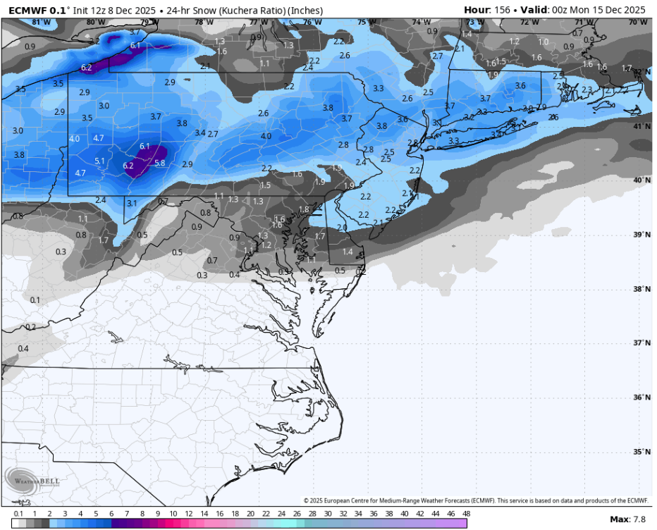
We have a couple potential events this week. A potent shortwave traversing the Great Lakes Wednesday and another potential wave(s) over the weekend. The low on Wednesday passes north of PA, which will likely focus snow potential in northern PA and the Laurels with downsloping off of the mountains and probably surface temp issues. Another period of significant LES/upslope likely ensues in the aforementioned focus area of snow potential after the passage of the low. More pieces of energy along this fast northern branch dominated flow are in the pipeline behind this, with all major models at 12z today focusing more towards Sunday for a more notable wave traversing PA with a widespread snowfall. Much colder air looks to be in PA for this weekend vs Wednesday. Still some potential light snowfall Friday night as well showing on the Euro. All these waves will be enforcing a continued regime of much below normal temperatures.
-
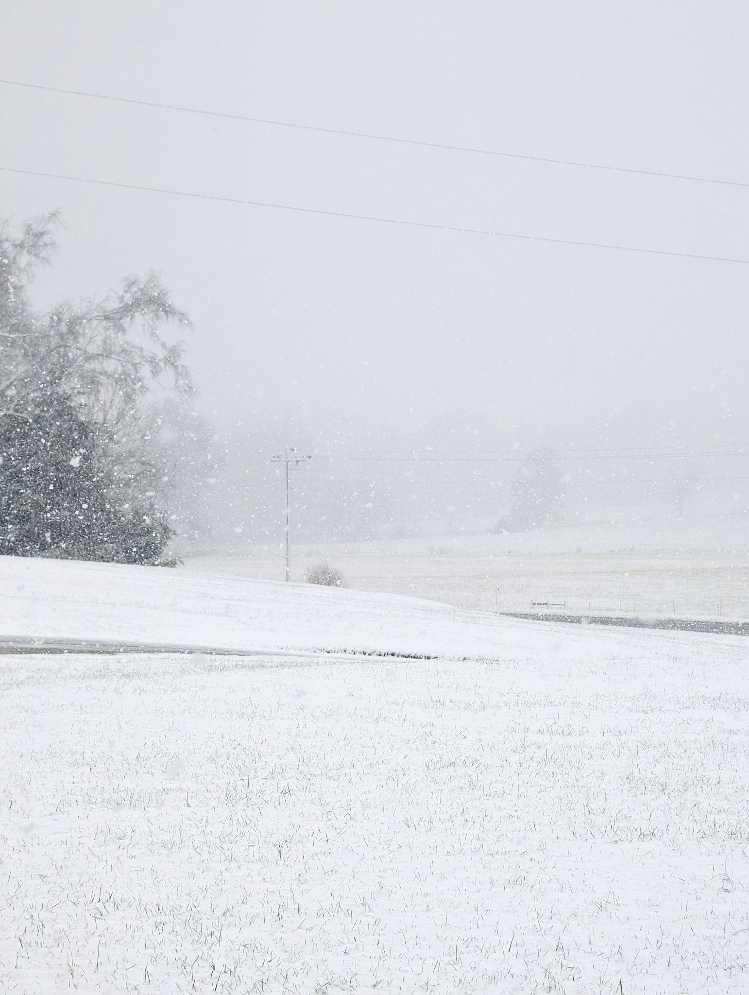
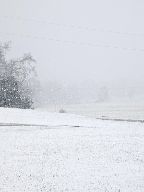
Measured exactly an inch of snow! Hoping to get near the 2 inch mark by the tine the storm ends.
-
Yeah euro has it too. A little suppressed. Nothing crazy but prob advisory type stuff south of pike.
-
Without even looking, It must show snow in the bronx.
-
-6 here before temps rose towards daybreak. The weekend snow brought us to 16.1" already for the season. As they say in baseball, keep the line moving.
-
I'll take the Friday night flizzard and the fact that it has a sort of similar idea as the AIFS for Sunday as a win for now. I'm more interested in Sunday but don't think either window is close to dead though not sure both can work out
-
And the warmup is gone on the euro
-
The 12z model runs are once again trending away from a warmup in the long range. Consistent theme.
-

The Monday wintry event potential (12/8/25)
kvegas-wx replied to GaWx's topic in Southeastern States
Intensity dropping like a rock now. Moisture mostly done and temps will soon cause the real issue of the day....black ice. PM rush hour and tonight will he horrible with untreated roads. Down to 33°. -
Bases on the euro’s depiction, it’s pretty clear how only 1 of the 2 can really work out. The shortwaves are just close together. So a stronger Sunday shortwave prevents Friday from amplifying. Confluence on 12z is actually better than 0z for Friday.
-
i think you may want it to be a dud if you want Sunday which has more potential to have a chance
-
Talk about hallucinations.
-
the Euro AI digs the northern stream south and west....very nice sunday snowstorm for us. 4-6 inches
-

The Monday wintry event potential (12/8/25)
stormwatcherJ replied to GaWx's topic in Southeastern States
Rain/snow mix trying to change to all snow in Hillsborough now. -

December 2025 Short/Medium Range Forecast Thread
Carvers Gap replied to John1122's topic in Tennessee Valley
The 12z Euro is much colder than its 0z version. Was 0z the hiccup or is 12z the hiccup? I would tend to think that 12z follows continuity. So, we stick w/ it, but with one eye over our shoulder. -
Red Oak, VA north of Clarksville
-

December 2025 regional war/obs/disco thread
WxWatcher007 replied to Torch Tiger's topic in New England
That was just a one off post from me but it’s southern VA. If they’re beating climo in the first 1/3 of December it’s notable no matter the amount. Anyway. I’m liking the weekend. Never wavered on that. -
Instigating clutters the thread too, you know...if that be the standard.
-
All snow now, but light
-
12z Euro loses Friday but has the weekend event. 1-3", more up north

-
Finally getting to a point of "game on" in downtown. Grassy coating and less traveled, sides of streets, starting to cave.
-

The Monday wintry event potential (12/8/25)
WinstonSalemArlington replied to GaWx's topic in Southeastern States
This has got to stick in Kernersville -
You talking to Ji or @Maestrobjwa ?
-
The first week of December was the 9th coldest on record at Detroit & Toledo, and 10th coldest at Chicago. I didnt check any other cities.