All Activity
- Past hour
-

December 2025 Short/Medium Range Forecast Thread
Carvers Gap replied to John1122's topic in Tennessee Valley
The normally warmi-sh Euro at 12z rolled this for the Music City Bowl...I truly hope that is wrong, but it looks like a cold front will possible slide in the evening of the 28th. I am still waiting on my warm-up - I need a short warm-up! This morning is the first morning I haven't run with gloves in a long time...so that is a start. -
For the rest of winter? On the first day of winter. Interesting
-
South has stuck the fork in, we’ll see how long until the other sub forums do the same.
-

December 2025 regional war/obs/disco thread
Damage In Tolland replied to Torch Tiger's topic in New England
Euros had that ice look for like 5-6 runs in a row -

Winter 2025-26 Medium/Long Range Discussion
roardog replied to michsnowfreak's topic in Lakes/Ohio Valley
07-08 is what I picture when I think of a canonical Nina around here. -

December 2025 regional war/obs/disco thread
WxWatcher007 replied to Torch Tiger's topic in New England
Tasty low level cold numbers I tossed the GFS but that’s still not crazy if we don’t get good surface cold locked in. -

Possible Light Snowfall (1" - 4") on Tuesday Dec 23
MJO812 replied to Northof78's topic in New York City Metro
I like a dusting to an inch for the city with with slightly more north and west. It will be cold enough to snow but it will only stick in the city on colder surfaces. -
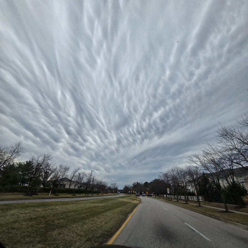
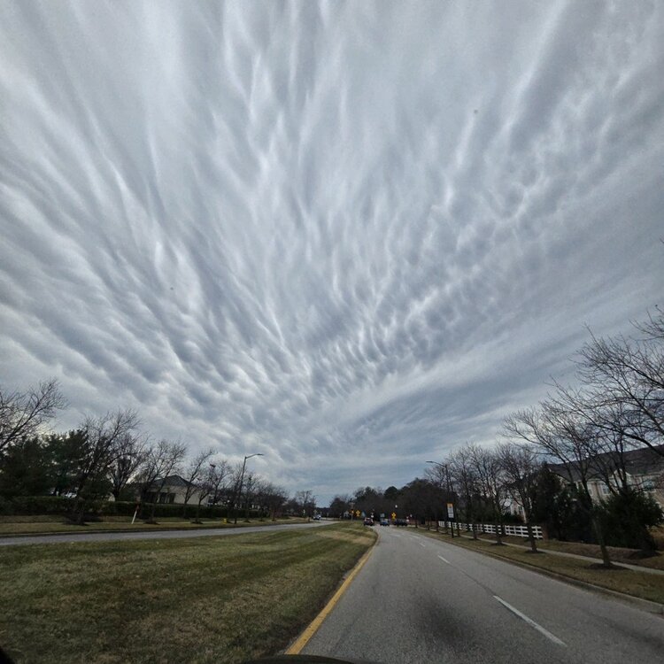
The sky about an hour ago.
-
Now that dem Boyz have been eliminated, watch them win out and drop in the draft order
-
December 2025 Short/Medium Range Forecast Thread
Carvers Gap replied to John1122's topic in Tennessee Valley
One other thing LC noted last night was that the MJO has no real clear signal - at least that is how I read it. He has cautioned multiple times about using it recently. He noted it was almost impossible to decipher the phase it was in. He did add that there is room for cold and snow further south after January 20th. I think he has likely nailed this. When I read his original forecast back in the fall, I was like, "Wow. That is really sound reasoning, but it conflicts with so many of the other social media seasonal forecasts." Heck, it conflicted with mine which came out during June of last summer. Veteran forecasters are savvy. And the great thing about the human brain....it doesn't tend to get caught in feedback loops. I think we have some circles of thought where opposing ideas are not allowed to be cultivated. That leads to group think. Back in the fall, Cosgrove produced a forecast where he cautioned that those waiting on winter would have to be patient. It is hard not to look at the deterministic runs at noon, and think they are not gonna be in a good place by the second week in January. -

December 2025 regional war/obs/disco thread
weathafella replied to Torch Tiger's topic in New England
Lots of snow for me. -
December 2025 regional war/obs/disco thread
WxWatcher007 replied to Torch Tiger's topic in New England
Snow Tuesday/early Wednesday, snow to ice to maybe rain Dec 26-27. -

December 2025 regional war/obs/disco thread
WinterWolf replied to Torch Tiger's topic in New England
Can you tell us what it showed? -

2025-2026 ENSO
40/70 Benchmark replied to 40/70 Benchmark's topic in Weather Forecasting and Discussion
I don't understand why he feels as though the warm pool needs to shift to allow for +TNH??? We have had intervals of it in this regime previously both last year and in 2022 ... The data indicates that -WPO this severe in December is very likely to yield a -WPO in the seasonal mean moving forward, furthermore, we haven't had sn issue establishing -EPO ridges in this west warm pool regime. -
A tradition like no other .
-
2025-2026 ENSO
40/70 Benchmark replied to 40/70 Benchmark's topic in Weather Forecasting and Discussion
If you are basing analysis off of the weekly output, I get it...all I'm saying is they are probably right given the Pacific trough regime that has become established and a probable reflection event looming later in January. I like to use those as probabilistic tools, rather than deterministic. -
December 2025 regional war/obs/disco thread
Damage In Tolland replied to Torch Tiger's topic in New England
Fo sho -
I doubt sun angle will be an issue lol
-
Is this the earliest we cancelled winter?
-
You wait all year for winter, only for it to be seemingly over in time for Christmas. Just unreal.
-
December 2025 regional war/obs/disco thread
WxWatcher007 replied to Torch Tiger's topic in New England
We toss the GFS. It’s coming… -

White Christmas Miracle? December 23-24th
NorEastermass128 replied to Baroclinic Zone's topic in New England
Lets sneak that down to Cape Ann -
December 2025 Short/Medium Range Forecast Thread
Carvers Gap replied to John1122's topic in Tennessee Valley
All three deterministic 12z runs bring the trough eastward w/ a mega strong -NAO in place. Larry Cosgrove mentioned that cold could be coming back east by the New Year, but also noted the forecast is incredible difficult during that time frame. We have seen this exemplified as models are swinging wildly from one solution to the other. He notes the NE would take the brunt of this. I do think we are seeing December 28-29th as a step off point towards another cold front of the seasonal variety. That could have a decent amount of amplification with it, so it will need to be watched. It is what happens immediately after that which I think will determine the first weeks of January. 12z has a good look. I think the NAO is making its presence felt on modeling now. I normally defer to ensembles, but maybe not this time. I think ensembles are way behind the curve on this pattern right now. It is unusual for that to happen, but it does occur w/ complex setups. The Euro control and its ensembles(for the Weeklies) were night and day yesterday. I think this is one of these patterns which would be easy to over analyze. For now, I just admire the wild solutions that are out there. Kind of fun! I personally think the end game of this is very cold air getting dumped into the Lower 48. The mechanism is in place to unload a majorly cold airmass southward. We may not have a long lead for when this occurs. Things to watch as we go forward....strength and duration of the NAO. It is the counterbalance to the Aleutian low. -
December 2025 regional war/obs/disco thread
Damage In Tolland replied to Torch Tiger's topic in New England
Icy -
Nice mammatus clouds right now