
Northof78
-
Posts
578 -
Joined
-
Last visited
About Northof78

- Birthday 06/14/1979
-

Strong Nor'Easter/Hybrid Storm Late September 2026
Northof78 replied to Rjay's topic in New York City Metro
Coastal flooding was the story of this storm, worst since Sandy (14 years) for many parts of central/south Jersey... -
Strong Nor'Easter/Hybrid Storm Late September 2026
Northof78 replied to Rjay's topic in New York City Metro
When the eye comes over you should get some pictures from inside the eyewall...clear with circular clouds surrounding and calm; please post em' if you can!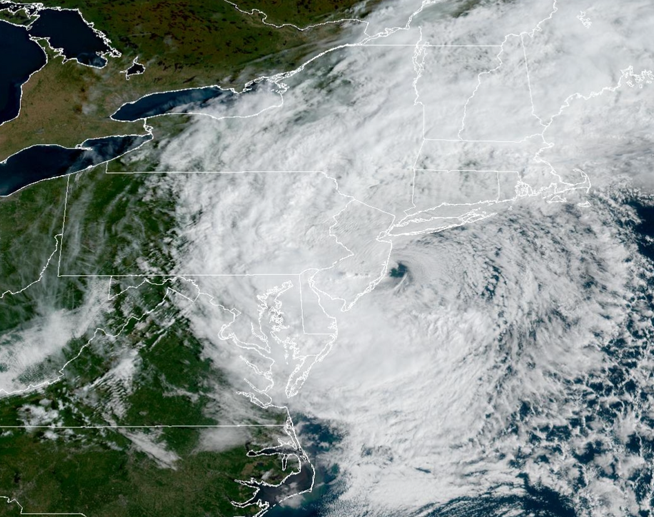
-
Strong Nor'Easter/Hybrid Storm Late September 2026
Northof78 replied to Rjay's topic in New York City Metro
Yup, all models in very good agreement from roughly 10PM tonight in far eastern areas through 3PM tommorow in south western areas the intense rain/wind associated with the storm center, would be really awesome to see if eye structure holds as it approaches land to see if can get some great pictures -
Strong Nor'Easter/Hybrid Storm Late September 2026
Northof78 replied to Rjay's topic in New York City Metro
Beautiful looking hybrid storm, very interesting to see when it makes the hard left turn.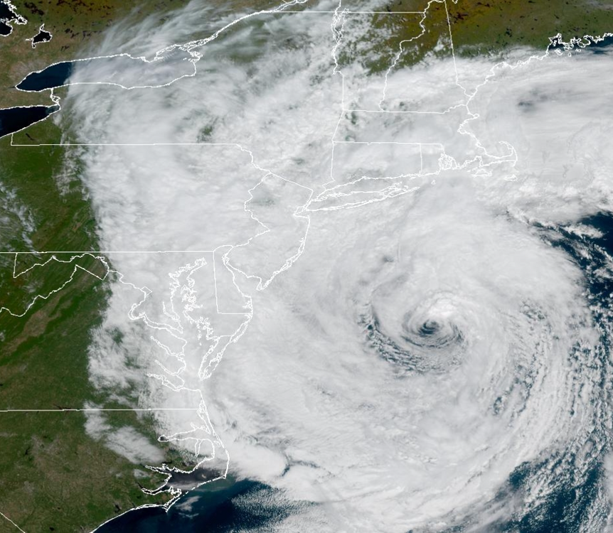
-
Ignore the GFS (especially within 24-36 hours) at your peril this year...could be another 1-2" on northern edge
-
Im just north of you guys and I am @ 51" , where are you?
-
2/24 - 2/25 Clipper Obs (1 - 2" for many on forum)
Northof78 replied to Northof78's topic in New York City Metro
1.2" of fluff and now flurries falling, 51" on season -
2/24 - 2/25 Clipper Obs (1 - 2" for many on forum)
Northof78 replied to Northof78's topic in New York City Metro
Looks to be 1", light snow -
Uh, the GFS has a decent snowstorm in 2 days...
-
2/24 - 2/25 Clipper Obs (1 - 2" for many on forum)
Northof78 replied to Northof78's topic in New York City Metro
Moderate snow, .25 to .5 OTG -
Almost all models have a little refresher for late tonight and early tomorrow. Anywhere from 0.5" - 2.0" seems likely for most. Obs here.
-
Im assuming all models are south/suppressed for Thu/Fri?
-
I would assume EWR is doing a clear and measure technique, but also they were in the band for a little longer than us as well.
-
lets put 2010 in there as well...
-
Measurements all over the place from 18" - 22"+ in drifts, from that and nearest airport reports, I think 20" is realistic/conservative...brings me just above 50" for the year.