All Activity
- Past hour
-

2026-2027 Super El Nino
GaWx replied to Stormchaserchuck1's topic in Weather Forecasting and Discussion
The longer range model consensus is suggesting the possibility of a very long MJO phase 6 streak later this month, the 2nd this year possibly reaching 14+ days, and with a likely max magnitude of 2+. Longest MJO ph. 6: # days; max mag 7/28-8/18/1984: 22; 2.5; 7/15-8/4/1996: 21; 2.0; 10/13-31/2022: 19; 2.2 6/13-30/1984: 18; 2.0; 1/5-21/2026: 17; 2.7 11/16-12/1/1998: 16; 2.5 10/6-20/1988: 15; 3.0 7/19-8/1/2018: 14; 2.5 2/25-3/10/1997: 14; 3.6 -
Down here in the extreme drought area and flood watch area that was supposed to get the soaking rain today... Well it's been a rather sunny day after 0.43 this morning... Still well under 2 inches total since late June...
-

Augdewst 2026: Summer's Last Stand
Damage In Tolland replied to Prismshine Productions's topic in New England
I can totally see a narrow zone or a few towns getting 3-5” but that would be combined with both the morning stuff and if anything fires in the afternoon -

Central PA Summer 2026 Discussion/Obs Thread
Elim72 replied to Voyager's topic in Upstate New York/Pennsylvania
1.63 and rising fast Elimsport. -
Another rain slug coming up for the I-95 corridor to the Bay.
-
Got ya.... Duration argues against widespread flooding issues but parameters, as stated by Wiz, are in place for some localize issues... It's almost always about intensity rates and confidence is rarely high in these situations. The low/mid level moisture surge could easily produce some surprise heavier than modeled zones and forecasters should not sleep on "potential".
-
 Sildenafil 100mg price: cheap viagra - Cheap generic Viagra
 -

Central PA Summer 2026 Discussion/Obs Thread
canderson replied to Voyager's topic in Upstate New York/Pennsylvania
That’s incredible - we’ve had good rain the last hour finally -

Central PA Summer 2026 Discussion/Obs Thread
pawatch replied to Voyager's topic in Upstate New York/Pennsylvania
AC -DC 1.85” here -
Flood Watch extended to northeastern NJ counties
-

Augdewst 2026: Summer's Last Stand
Ginx snewx replied to Prismshine Productions's topic in New England
Beautiful sea breeze but cloudy. Pool feels fantastic -

Augdewst 2026: Summer's Last Stand
dendrite replied to Prismshine Productions's topic in New England
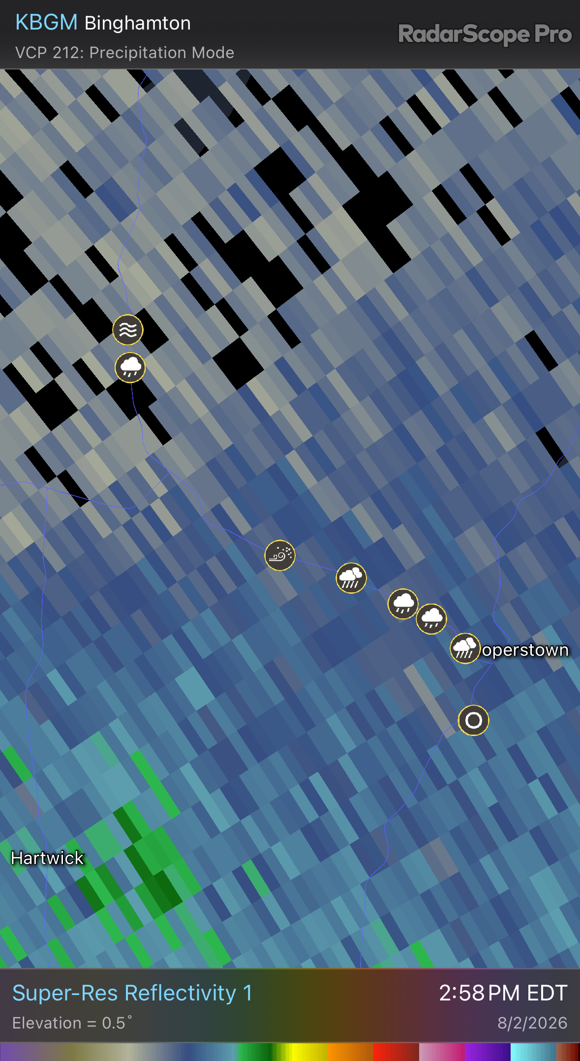
Some weenie in NY ridin’ along in his automobile trolling mPing with 5” hail obs, blowing dust, and overflowing rivers. Hate to see it.
-
Central PA Summer 2026 Discussion/Obs Thread
canderson replied to Voyager's topic in Upstate New York/Pennsylvania
Thunder! - Today
-
Every week is a Flood Watch, its the new wind thingy. Flood Watch National Weather Service Mount Holly NJ 220 PM EDT Sun Aug 2 2026 DEZ001-NJZ001-007>010-012>019-PAZ060>062-070-071-101>106-030900- /O.NEW.KPHI.FA.A.0007.260803T0000Z-260804T0300Z/ /00000.0.ER.000000T0000Z.000000T0000Z.000000T0000Z.OO/ New Castle-Sussex-Warren-Morris-Hunterdon-Somerset-Middlesex- Western Monmouth-Eastern Monmouth-Mercer-Salem-Gloucester-Camden- Northwestern Burlington-Berks-Lehigh-Northampton-Delaware- Philadelphia-Western Chester-Eastern Chester-Western Montgomery- Eastern Montgomery-Upper Bucks-Lower Bucks- Including the cities of Camden, Honey Brook, Freehold, Wilmington, New Brunswick, Collegeville, Morrisville, Easton, Chalfont, Perkasie, Washington, Philadelphia, Pennsville, Lansdale, Trenton, Media, Kennett Square, Pottstown, Norristown, Flemington, Cherry Hill, West Chester, Glassboro, Allentown, Morristown, Sandy Hook, Doylestown, Newton, Moorestown, Bethlehem, Oxford, Somerville, Reading, and Mount Holly 220 PM EDT Sun Aug 2 2026 ...FLOOD WATCH IN EFFECT FROM 8 PM EDT THIS EVENING THROUGH MONDAY EVENING... * WHAT...Flooding caused by excessive rainfall is possible. * WHERE...Portions of northern Delaware, including the following area, New Castle, New Jersey, including the following areas, Camden, Eastern Monmouth, Gloucester, Hunterdon, Mercer, Middlesex, Morris, Northwestern Burlington, Salem, Somerset, Sussex, Warren and Western Monmouth, and Pennsylvania, including the following areas, Berks, Delaware, Eastern Chester, Eastern Montgomery, Lehigh, Lower Bucks, Northampton, Philadelphia, Upper Bucks, Western Chester and Western Montgomery. * WHEN...From 8 PM EDT this evening through Monday evening. * IMPACTS...Excessive runoff may result in flooding of rivers, creeks, streams, and other low-lying and flood-prone locations. Creeks and streams may rise out of their banks. Flooding may occur in poor drainage and urban areas. * ADDITIONAL DETAILS... - Multiple rounds of showers and thunderstorms are expected across the area tonight through Monday. Rainfall rates of 1 to 3 inches per hour possible. Rainfall amounts of 1 to 2 inches are possible with localized amounts to 3 to 5 inches which could cause flash flooding. - http://www.weather.gov/safety/flood PRECAUTIONARY/PREPAREDNESS ACTIONS... You should monitor later forecasts and be alert for possible Flood Warnings. Those living in areas prone to flooding should be prepared to take action should flooding develop. && $$ Guzzo
-
Augdewst 2026: Summer's Last Stand
Damage In Tolland replied to Prismshine Productions's topic in New England
I am saying don’t see widespread big rain amounts / flooding etc . This isn’t that type of setup -
DC streets quickly turn to rivers with this type of rain. Happened on Tuesday as well.
-
Yeah I was driving through it on 16th street. That was a mess. Tons of standing and flowing water on the road.
-
And you’ll sit in endless traffic on a Sunday. Stay home
-
torrential rains there for a bit in upper NW - seems like more stuff developing from the south.
-
Augdewst 2026: Summer's Last Stand
dendrite replied to Prismshine Productions's topic in New England
1.5” is a seasonal total here -
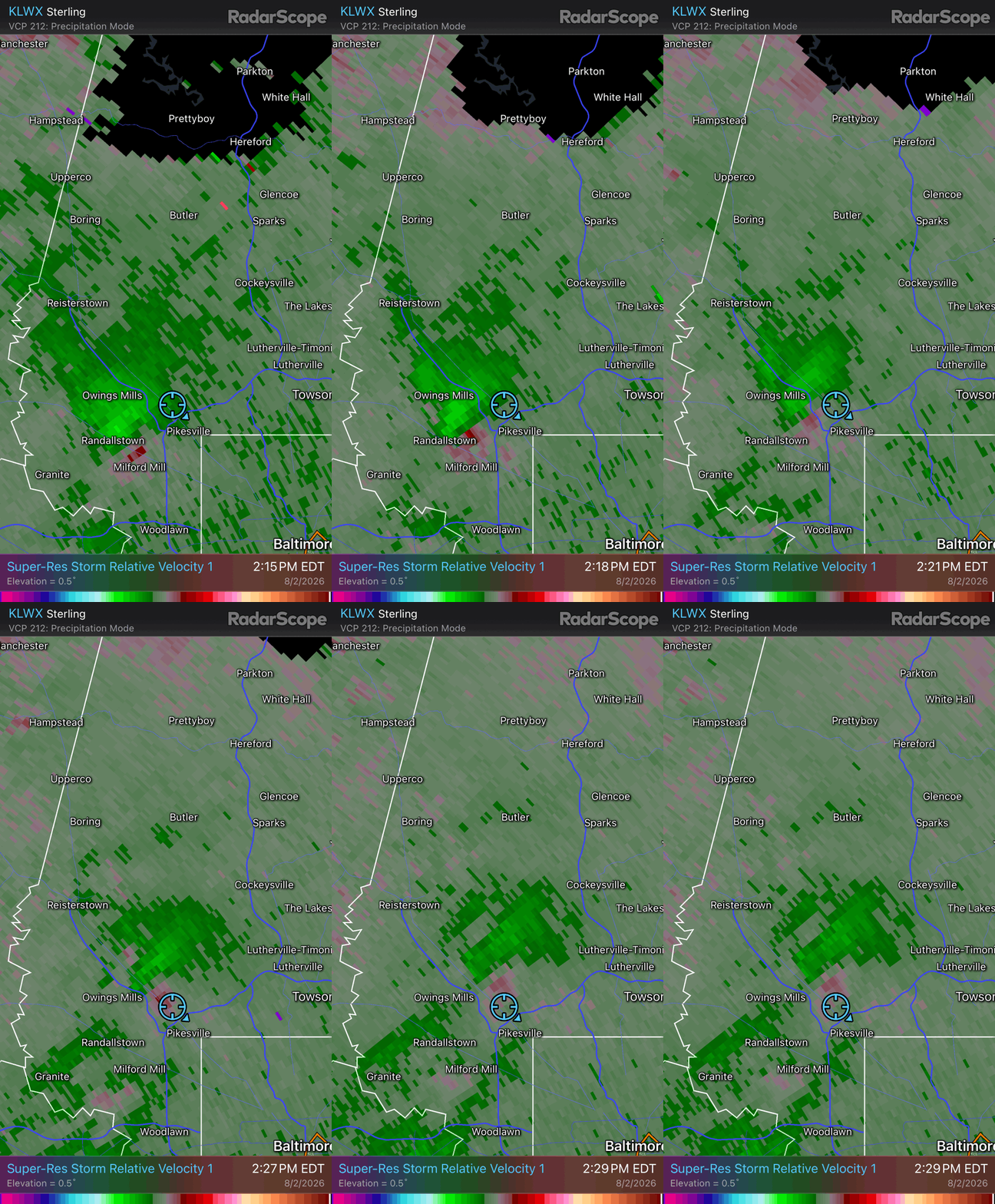
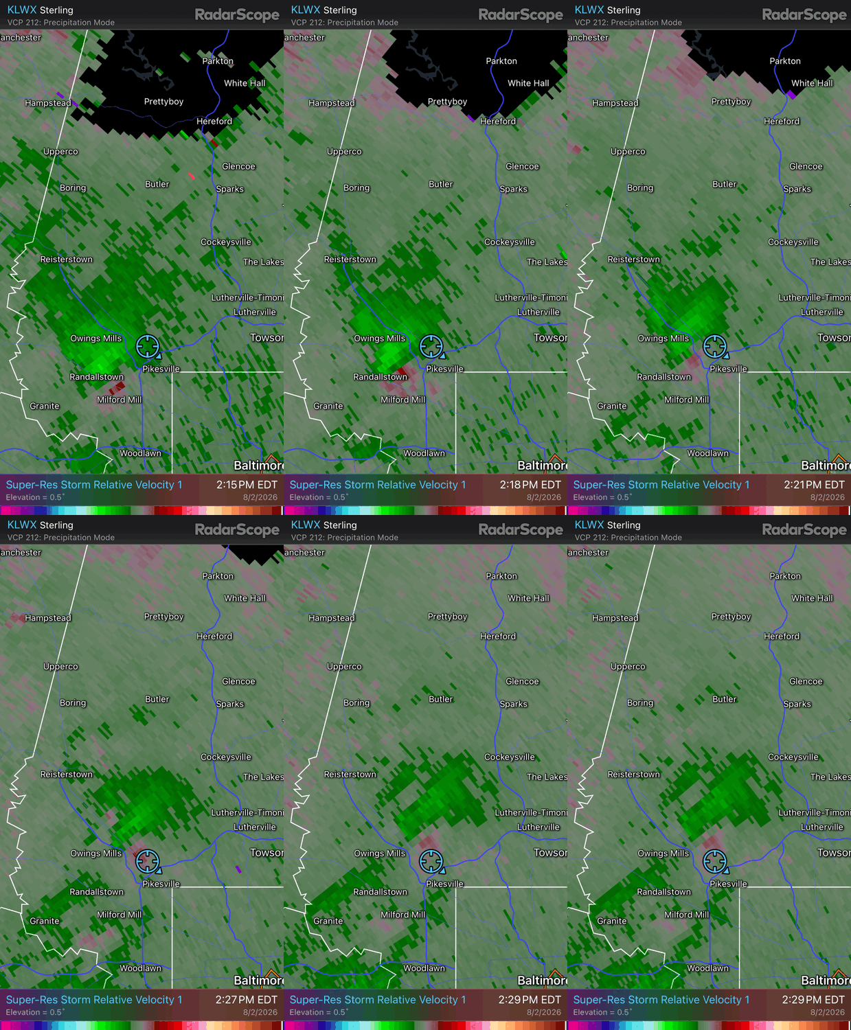
It got a little windy and some heavy rain but I wasn't really able to see anything in the way of rotation here in Pikesville / Garrison
- 1,704 replies
-
- 1
-

-
- severe
- thunderstorms
- (and 7 more)
-
Line of storms in MD/DE will be area to watch heading ENE
-
89 here a another degree and some places in Jersey will have a little mini heatwave Fri-Sat-Sun. i was 89 Friday - 90 Sat
-
Time for some street kayaking.
-
Flood Watch (NOT in NYC yet) FFA from KPHI