All Activity
- Past hour
-
Heavy rain now.
-
90/77 at IAD.
-
going to be more flooding within the next hour in north central NJ storms to our southwest moving in and then headed to NYC after that
-
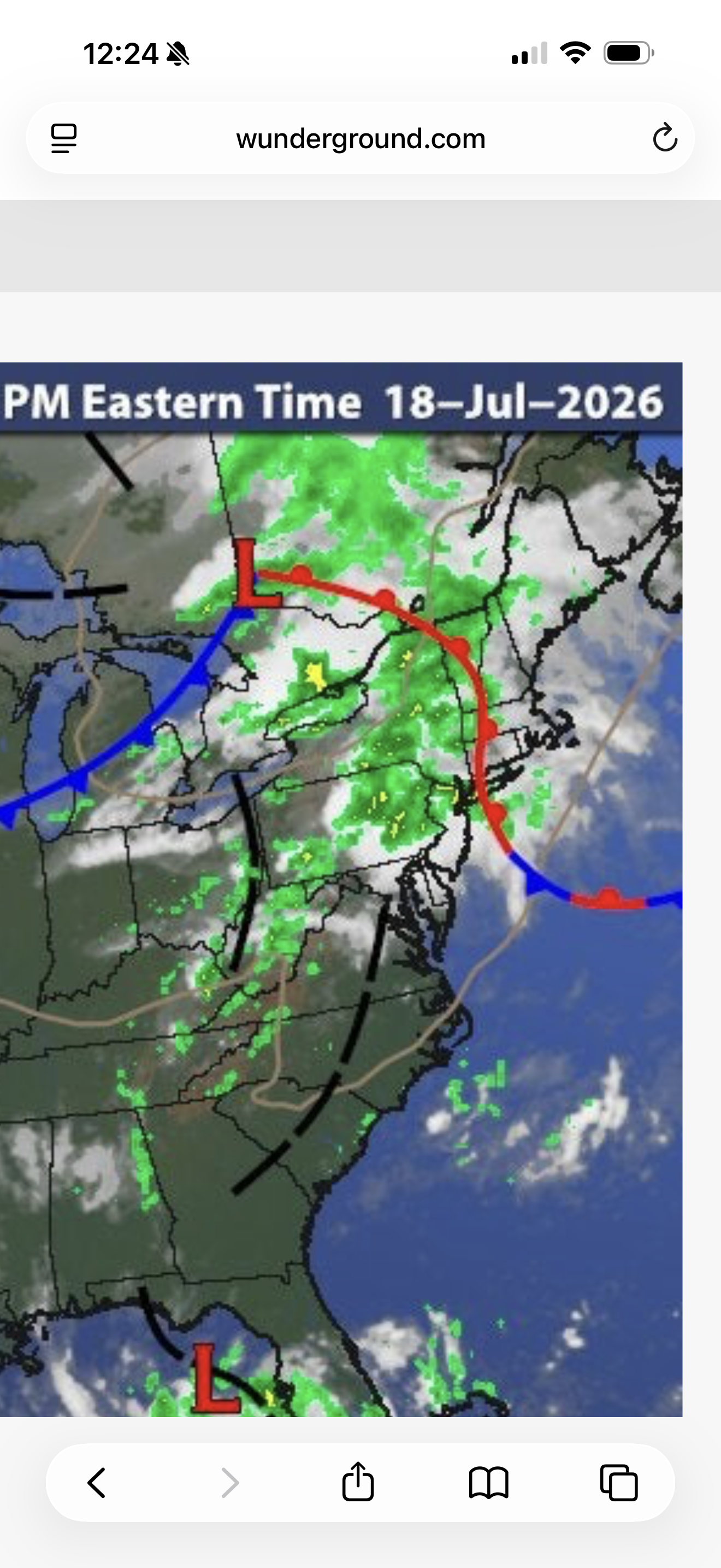
This was a great satellite loop from the other day that sums up what we have been experiencing this week.
-
Agreed. In Waretown right now. Smokey and very humid with a fresh breeze. Sun dimmed behind the smoke.
-
.51 in the rain gauge in Passaic. That was quick.
-
It was as dark as a Tim Burton movie a few mins ago here in Staten Island, now its bright. Its gonna get wild again.
-
Few huge thunderclaps in west babylon. Moderate rain. Blob in Nassau looks mean
-
I saw a notch or hook with a discrete cell there and zipped to find tor warn in a densely pop. spots!
-
Spud
-
It was absolutely pouring in downtown Jersey City for about the last hour. Still coming down but has let up some in the last few minutes
-
Long Island getting it now
-
lightning caused it to short out
-

E PA/NJ/DE Summer 2026 Obs/Discussion
enpawx_observer replied to PhiEaglesfan712's topic in Philadelphia Region
IIRC, wasn't the system that produce the late July outbreak in 2021 similar? I remember that day being really cloudy. But I think shear was rippin and there was just enough instability to produce. -
It will keep happening all the way through winter. I bet one of those times it might phase with the polar jet and sparks will fly.
-

2026 Mid-Atlantic Severe Storm General Discussion
midatlanticweather replied to Kmlwx's topic in Mid Atlantic
Some clearing but hazy skies. The air is THICK! Temp is 88 and the humidity is at 80% here in Purcellville! Instant sweat factory! LOL! -

Central PA Summer 2026 Discussion/Obs Thread
Voyager replied to Voyager's topic in Upstate New York/Pennsylvania
Woke up from a la-z-boy siesta, and came outside, and it's thundering like every 15-30 seconds here. It's a low roll kind coming from my west-southwest towards Pottsville. Looks like that cell is moving closer. Rain so far in my backyard is now up to 1.25". Also, I can somewhat smell the smoke again, too. -
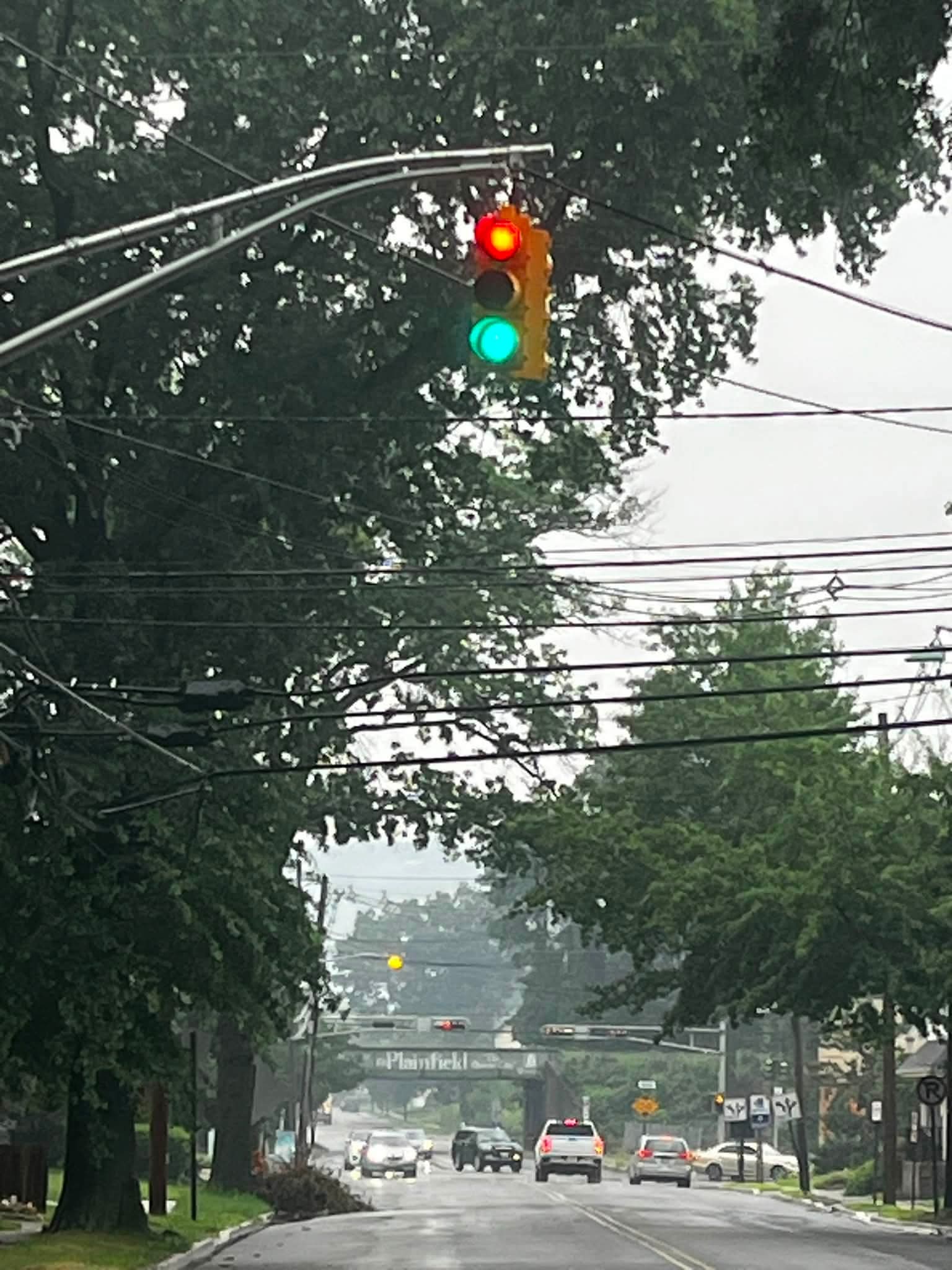
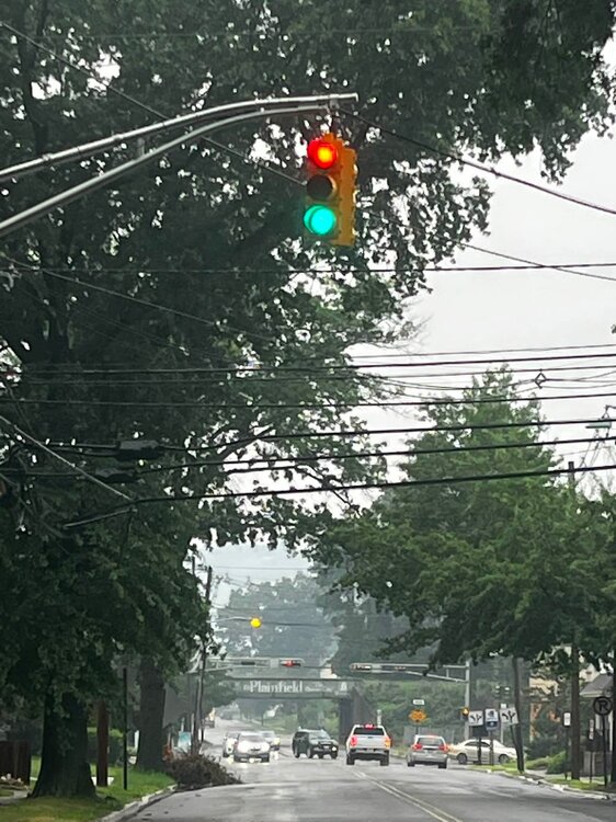
Someone in town just posted this
-
Flood threat is very real. Our atmosphere is juiced to the max
-
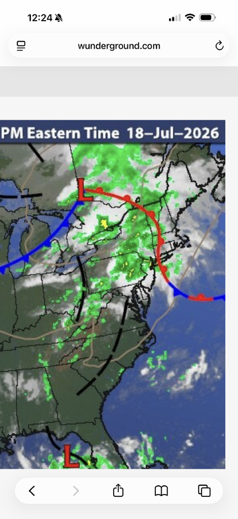
Our tornado/severe threat is currently back in Western PA. You can see some discreet cells popping up. SPC will be updating soon. In the meantime, the warm front is slightly over performing thus far. You can see the troughs over PA which will provide dynamics and veering winds.
-

E PA/NJ/DE Summer 2026 Obs/Discussion
RedSky replied to PhiEaglesfan712's topic in Philadelphia Region
Look at radar history 80% of upper bucks and the Lehigh Valley was grazed in round 1 -
Ewr over an inch already
-
Another storm lining up on the train tracks behind it. Gonna be a long day of subway flooding.
-
Thunderstorm out in Suffolk. Of course the baseball league didn’t cancel the game until there was lighting visible
-
An observation one doesn't off see in the NYC area from LaGuardia Airport this morning: