hooralph
-
Posts
1,467 -
Joined
-
Last visited
1 Follower

About hooralph

Recent Profile Visitors
4,868 profile views


-
Amazing. It's been lightly drizzingly here most of the day on the UWS with some moderate pockets sprinkled in. Looks like we are at .91 inches for the event as of 11 AM at CPK.
-
Breeze has been noticeable here and making a difference today.
-
Yeah I just glazed over that 6 hour min.
-
i thought I saw KNYC tied the record high low at 84, but the hourly obs say 84.9. Did we tie or break it?
-
 Hi all (mods, if you need to move this to marketplace, I understand. I was just hoping it wouldn't be buried there) I am looking for input from mets and serious hobbyists about the tools they use to share their analysis and forecasts outside of here (blogs, personal sites, social media, newsletters, or anywhere else). --> TL;DR: I am building a weather platform / app and want to onboard early adopters interested in expanding their reach. I put together a short survey to make sure I'm building the right tools. What I'm building: A weather app and publishing platform with two goals: For the public: highly personalized, hype-free weather guidance with real medium-range risk information. The target is people who need clearer guidance to make real decisions about their property, their businesses, their week. For forecasters: a dedicated place to publish analysis that reaches a broader audience, with tools built specifically for weather content — mapping, accuracy tracking, subscriber relationships — instead of fighting general-purpose blog tools and social media algorithms. I believe the best weather analysis is being produced by independent forecasters, and that most of it never reaches the people who would benefit from it. The platforms that do reach general audiences reward sensationalism over substance. I am trying to build something better. What I would love to have from you: A 3-minute survey about your current tools, what's working, what's not, and which features would make a difference: https://docs.google.com/forms/d/e/1FAIpQLSe39_X8KXighPxN8Ln9RnRv0-saecn_hcylihb_aaCVGokkEQ/viewform?usp=header If you're interested in early access and helping to test out the tools, there's an optional section at the end to leave your info. I'll share results back here. Thanks! Jeff
 -
I’m confused. I thought people who lived 20 miles outside the city were supposed to be complaining about under-measurement?
-
go into your profile-?attachments and clear out old photos to free up space. If uploading from an iPhone, there is an option to reduce the file size. It's not obvious. Find "options" when you are on the phot selection screen.
-
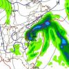
the band this morning parked just west of the Hudson, which is what pushed Bergen County up over 2'. 19-21 appears fair for Manhattan into Queens/Brooklyn.
-
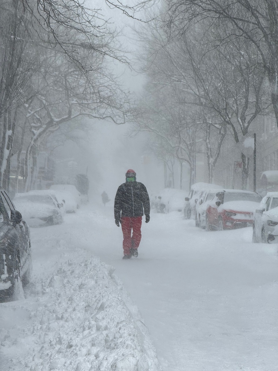
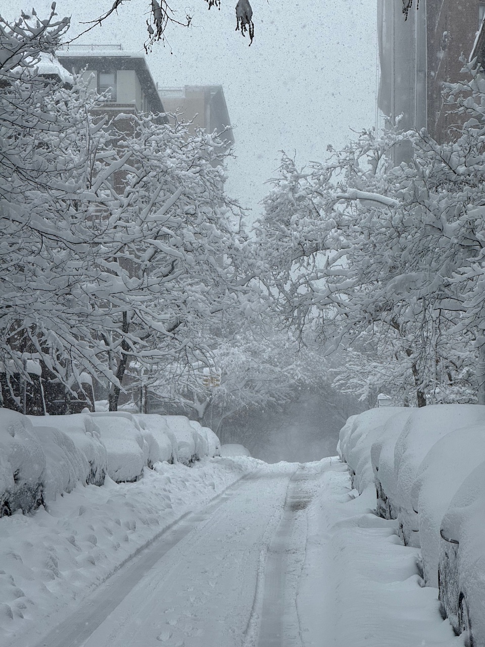
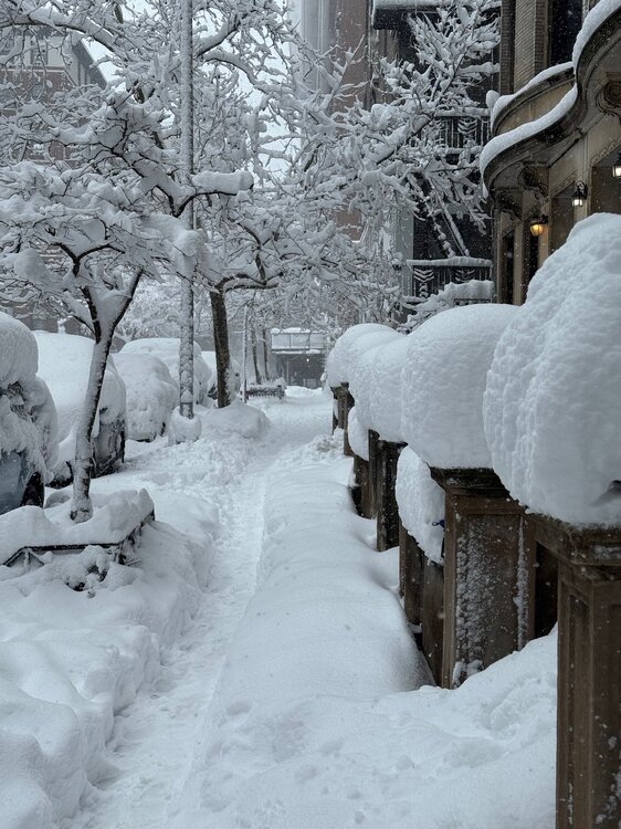
For those reflexively crapping on the CPK measurement, I just did another 20 minute walk in Riverside Park and it very much feels like a 17-19" storm.
-


-
Nice reporting. My purely experiential eyeballing of the snow during that time was 17-18”
-
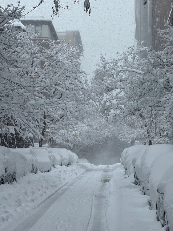
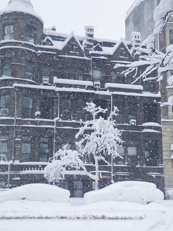
Have not bothered to measure anywhere but this feels closer to Jan 31 2021 than 2016 for sure - high teens. But still at 1/4m vis. absolute stunner of a storm. Not much wind though here.
-
Haven't been outside yet, but based on the 15.1" at 7 AM and the radar and forecasts for this to go to 1 PM, we should be able to make it.
-
Regardless, we got 7” of that 10.5 in the first 5 hours after 0z.