All Activity
- Past hour
-
I cleaned off my car and my spot last night and woke up to a few more inches of snow added to it, didn't see that coming.
-
And that's where the AI adaptation comes in to play...AI enhanced systems can add those pieces of the equation back in without consuming large amounts of computing power compared to the traditional system
-
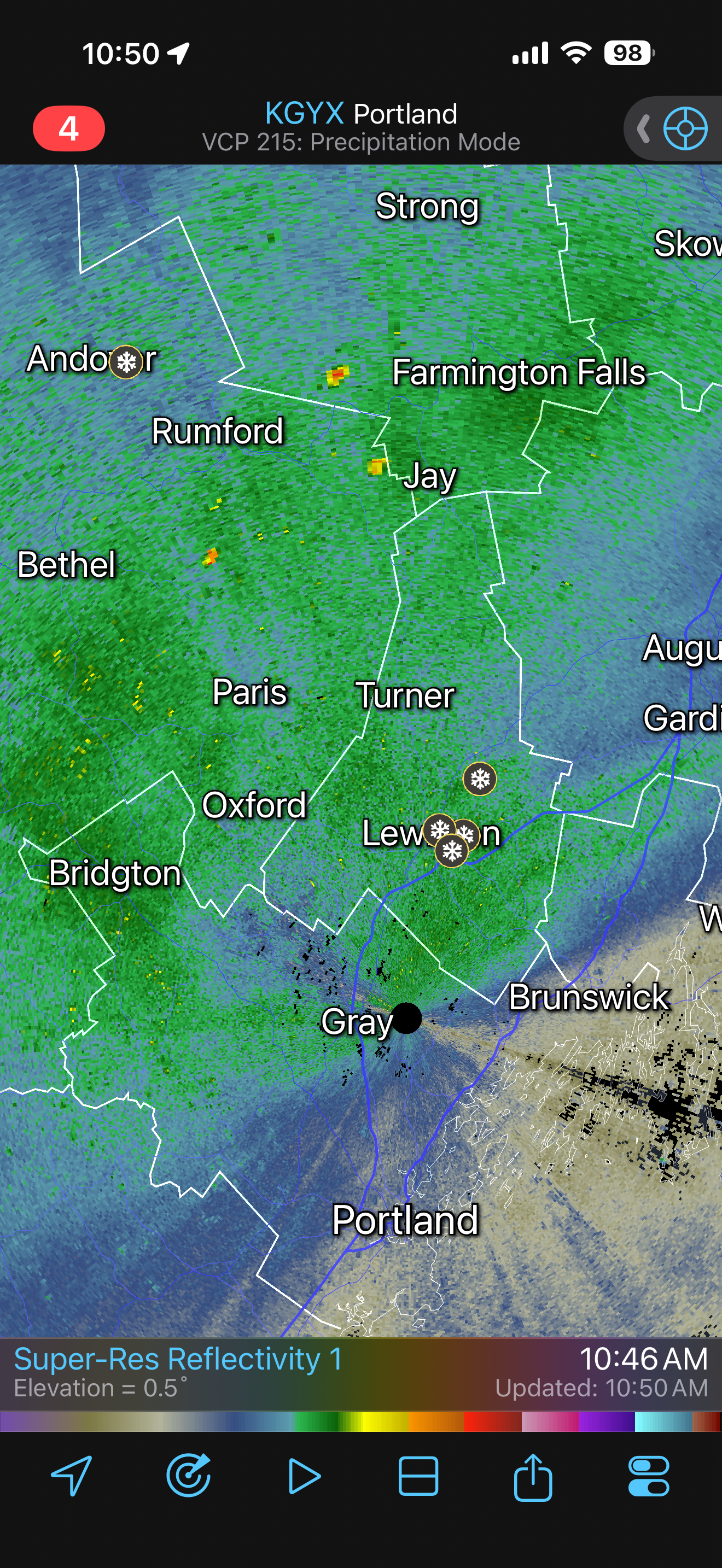
west of elizabeth could be the watchungs.....been on them and it was sleeting or snowing, come down to 22 and its raining......
-
Ridging oiut west a little flatter so far
-
So pretty much like any storm around here? Got it
-
used to work down at beaver dam rd in the 80s...the old fisherman magazine. fun times. they don't even have a building anymore, it's all online and i heard the office was too far gone after Sandy.
-

January 24-26: Miracle or Mirage OBS Thread!
PrinceFrederickWx replied to Jebman's topic in Mid Atlantic
We all love ice sledding on the steep hill in our backyard. -
Nothing noteworthy on the GFS yet...similar to 6z..some noise level changes
-
-
 Eh I still think today looks decent for a general 1-4’’ especially across eastern areas. Maybe even a spot 5.
 -
I've tried to figure that problem out for years...personally, I think it has to doe with the grids and physics engines for the upper air pattern. The closer you get alot of times the 500 pattern slowly ticks west..like the physics engine is too fast advancing leads to the old saying "models keep kicking the can down the road" in the LR. When they got rid of truncation and went physics based, they had to figure out a way to not consume enormous amounts of energy to run the system...so as the models advance in time, they generalize and remove some of the physics equation involved which leads models being to quick in upper air pattern. Just theory been working on.
-

Possible coastal storm centered on Feb 1 2026.
Typhoon Tip replied to Typhoon Tip's topic in New England
Yeah all these models have at one time or the other flashed out nudity at us... But the key in recency here is that we are really coalescing and picking an actual date/event. I was just looking at the AI Euro runs from 00z and 06z overnight... ( I still need to get used to the fact that these "tools" exist, how/when/biases in using them - ) and yeah. Those two runs fit right in. The 06z run is really a GOAT type storm from PHL-PWM -
Thank you for that knowledge
-
 (Oh, but looking at radar, may be some fluff factor to follow...)
 -
 16.5/1.31 13 to 1 SLR
 -
 And it looks like it’s filling in on radar so this snow may continue all day until the 850 thing passes. I’m thinking a bit more than 1 to 3 inches.
 -
AI GFS better at h5 but it won't do it this time around
-
 Springfield DPW reported 18" on Facebook. My mother says looks close to 18" near the Longmeadow line.
 -
The NBM at this range gives heavy weight to the 00Z EPS, so this is exactly what I'd expect to see.
-
 SN, 8.8/7.0°F, Some good snow growth here again with these returns.
-

Central PA Winter 25/26 Discussion and Obs
Summit Snow replied to MAG5035's topic in Upstate New York/Pennsylvania
Don't get above 20 through Sunday up here. EURO and ICON have coastal bomb for next Sunday. -
NBM is starting to show the footprint we want.
-

Pittsburgh/Western PA WINTER ‘25/‘26
Rd9108 replied to Burghblizz's topic in Upstate New York/Pennsylvania
Its official I've run out of places to throw all the snow. -
I know it has been said before, but a friendly reminder that this stuff is H E A V Y. Don't overdo yourself and mess up your back or end up in ER with a possible HA. This stuff isn't going anywhere soon. To those that haven't touched the stuff yet, best to make just enough of a path or opening to get in and out for yourself (and vehicle if you wish to chance it) and work on the rest later. Few flurries in the air, wind is sadly still whipping around NNW at 10 gusting to 22 mph. Temp 17.6/9.4.
-

The “I bring the mojo” Jan 30-Feb 1 potential winter storm
BooneWX replied to lilj4425's topic in Southeastern States
On the late phase/bloomer idea. I could see this ticking west with time. Our flow to the north is slowly backing up. It’s what you want to see if a big dog is in your appetite. Of course, if you’re down east, you want a strung out mess that blossoms late but if I’m I-95 west to Tenn, south into Georgia, we need to keep the trend of more digging and borderline cutting this thing off in the upper level flow.